Parking
Use the White Chief or Sawtooth trailhead parking area, then walk down Mineral King Corrals Road to the Mineral King Pack Station, where the trail begins.

Sequoia National Park, CA
Long switchbacks climb from Mineral King to an alpine pass.
Overview
Franklin Pass Trail is a roughly 16.2-mile out-and-back from the Mineral King Pack Station to Franklin Pass, with about 3,900 feet of climbing. Franklin Lakes lies partway along the route and makes a worthwhile shorter turnaround; continuing to the pass is a substantially longer day. Choose the full hike if you are prepared for steep switchbacks and thin air above 11,000 feet. This is a serious high-country walk, not a quick lake outing. Plan on about 10 to 12 hours on foot, with time to rest at the lakes and pass. The mapped corridor runs about 8.1 miles one way; published totals vary, and shorter figures may stop at the lakes. This route reaches the pass crest.
 Parkwolf’s verdictIs this the hike for you?
Map & elevation
Plan your hike

The highest, rockiest slopes around here are a summer buffet for grizzly bears.
Sequoia Tour Guide
Parkwolf is a GPS audio tour guide for Sequoia National Park. As you drive, it chimes in with what’s ahead: hidden gems, upcoming stops, history, geology, and wildlife, right through your car’s speakers.
See the Sequoia audio tourRecorded for this area
Mineral King Trailheads and Honeymoon Cabin“Up ahead are the trailheads at the end of Mineral King Road, with Honeymoon Cabin beside them. For a short history stop, take a look at this last surviving Crowley Resort rental cabin.”
Plays on the road 0.2 mi from the trailhead in the Parkwolf Sequoia Tour Guide.
More stories near here in the app
“…The kids and my husband and I all agree that the narration really added to our experience driving through the parks. We learned so much about the history and the flora & fauna.”


Trail guide
The trail begins at the Mineral King Pack Station. Park at the White Chief or Sawtooth trailhead parking area, then walk down Mineral King Corrals Road to the pack station. Franklin Lakes and Farewell Gap share the initial climb. At their split, keep left toward Franklin Lakes; the right branch goes to Farewell Gap, a different destination. Continue beyond the lake basin to Franklin Pass. The stored route ends at the crest and does not include the onward trail into Rattlesnake Canyon. Mile markers for the split differ between published descriptions, so follow the destination signs rather than relying on one junction-mile number.
The path narrows from the pack station into single track and climbs through patches of cottonwood and red fir, open sagebrush slopes, and steep switchbacks. You cross Crystal Creek and later Franklin Creek; a multi-tiered waterfall spills into a pool just above one Franklin Creek crossing. The open slopes bring views back down Mineral King toward Timber Gap and Farewell Gap. At Farewell Junction the valley opens out before the trail climbs into the upper basin.
Trees thin as the route approaches Franklin Lakes, where a small concrete outlet dam sits below the high ridges. Florence Peak and the Great Western Divide frame the upper valley. From the lower lake the trail continues in a steep climb to Franklin Pass, gaining roughly another 1,300 feet over the final stretch. The crest sits close to 11,800 feet; the view across the pass into Rattlesnake Canyon is the payoff for the long ascent. The lakes are a satisfying destination on their own if the added climb is too much. At the pass, include a little rocky trail in a photo to show the scale of the basin.
Mineral King’s red, orange, and brown metamorphic rock stands out against the granite common elsewhere in the park. Prospectors came here in the 1870s hoping to find silver, and the old mining history is part of the landscape around the valley. Franklin Lake’s concrete outlet dam is another reminder that this high basin has a working history: it was built to regulate water flow on the East Fork Kaweah for power production.
Wildlife
 691 sightingsBlack BearMost seen around 6 PMSighting map
 17 sightingsMountain LionMost seen around 6 AMSighting map
 18 sightingsBobcatMost seen around 7 PMSighting map
 24 sightingsCoyoteMost seen around 7 PMSighting map
 15 sightingsGolden EagleMost seen around 11 AMSighting map
 20 sightingsSpotted OwlMost seen around 7 PMSighting map
Sighting maps show where each species has been reported across Sequoia. Wildlife moves, so no sighting is guaranteed.
Keep exploring
 ChallengingFranklin Lakes Trail10.8 mi · 7.5 hr · At the trailheadTwo alpine lakes reward a steady climb into high country.
 ChallengingFarewell Gap Trail12.4 mi · 7.5 hr · At the trailheadA high alpine saddle with mining history and a long climb
 ChallengingWhite Chief Trail to White Chief Bowl7.4 mi · 5 hr · 0.1 mi awayColorful marble, old mines and a 10,000-foot Sierra bowl.
 ChallengingEagle Lake Trail6.8 mi · 4.5 hr · 0.1 mi awayA steep, rocky climb to a high lake above Mineral King.
 ChallengingMosquito Lake Trail7.2 mi · 4.5 hr · 0.1 mi awayA mountain lake above Mineral King, reached by a steady climb.
 ChallengingCrystal Lake Trail9.8 mi · 6.5 hr · 0.4 mi awayA hard climb to a small 1900s dam beneath high Sierra walls.
 ChallengingBig Five and Little Five Lakes Loop31.2 mi · 1.3 days · 0.5 mi awayTwo lake basins, two high passes, and a real backpacking test
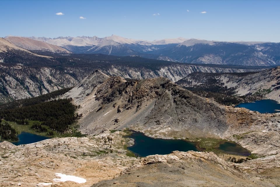 ChallengingBlack Rock Pass Trail23 mi · 17.5 hr · 0.5 mi awayA 23-mile climb to a pass between the Five Lakes basins
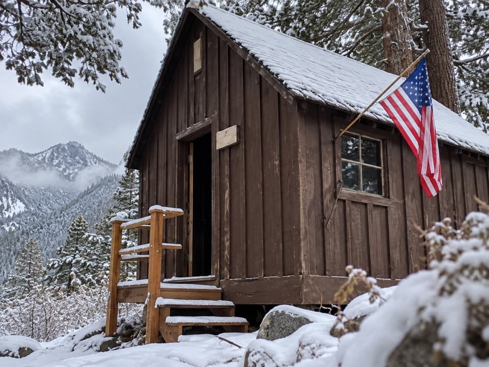 Sight · 0.1 mi awayHoneymoon CabinA cabin shifted eight to ten feet in a slow snow slide.
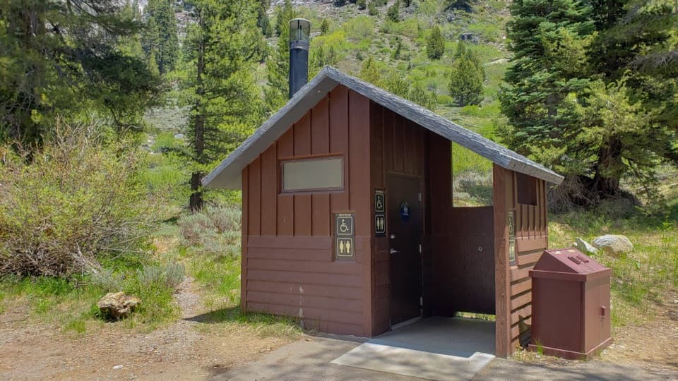 Restroom · 0.2 mi awayEagle-Mosquito Trailhead RestroomA practical restroom before the strenuous Eagle and Mosquito Lakes hikes.
 Ranger station · 1 mi awayMineral King Ranger StationA useful stop for maps, permits, trail advice, and marmot tarps.
 Campground · 1.2 mi awayCold Springs CampgroundA quiet, tent-only base for Mineral King hikes.
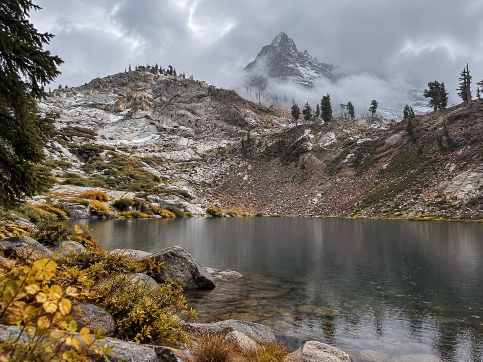 Sight · 1.7 mi awayMonarch LakesTwo alpine lakes below Sawtooth Peak after a hard climb.
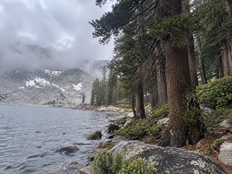 Sight · 2.1 mi awayEagle LakeBlue water at the end of a steep Mineral King hike.
 Sight · 2.2 mi awayMosquito LakesA small alpine lake reached by a long Mineral King climb
 Sight · 3 mi awayFranklin LakesA long climb to twin lakes beneath the Great Western Divide.
Parkwolf’s Sequoia ranking
The audio tour guide for the drive, plus offline maps, trails, and wildlife heatmaps for when the signal drops.





