
Place · 1.3 mi away
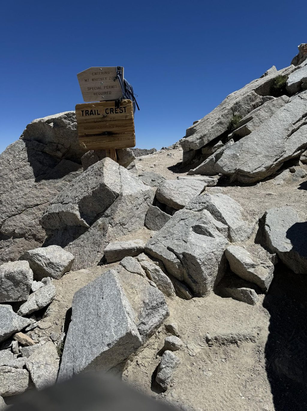
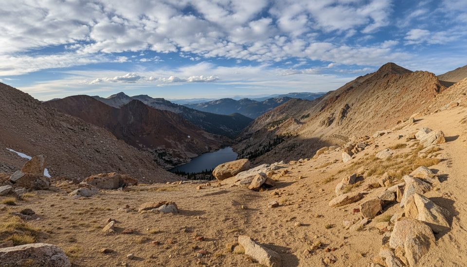
Perched on the Sierra crest at 13,645 feet, Trail Crest is the high pass on the Mount Whitney Trail and the literal doorway between Inyo National Forest to the east and Sequoia National Park to the west. It’s a hard-earned, head-on-a-swivel viewpoint and a psychological milestone where many hikers decide whether to push for the summit.
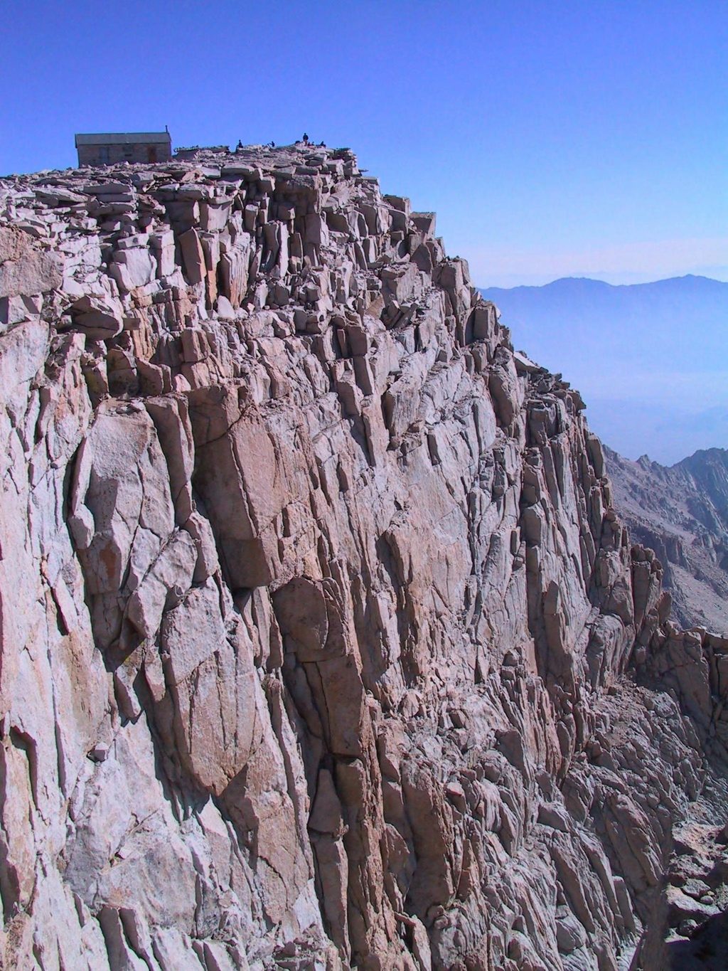
Reaching Trail Crest caps the notorious switchbacks above Trail Camp on the east side. From here, the route traverses a narrow, spectacular ridge toward Mount Whitney, with roughly about 2 miles to go and additional climbing to the summit. Expect phenomenal scenery and occasional two-way traffic squeezes along the traverse.
The typical snow-free window runs July through late September in many years. Early season can bury or ice up the switchbacks; some parties instead ascend or descend the snow “chute” to reach Trail Crest. In those shoulder conditions, expect icy sections, cold stream crossings lower down, and the need for solid judgment (and only carry traction if you have the skills to use it). A downloaded GPS track can be handy when snow patches obscure the tread.
The standard Whitney day hike is roughly 22 miles round-trip with 6,100–6,500 feet of gain. Even strong hikers feel the altitude here—Trail Crest is a common turnaround point if symptoms crop up. Plan conservative cutoffs and respect how your body feels at 13,000+ feet.
Permits are required for day and overnight trips on the Mount Whitney Trail. The main lottery typically runs Feb 1–Mar 1, with results mid-March, and winners must finalize details (and fees) by April 21. There are restrooms at the trailhead area, but none in the high country; you’re required to pack out solid human waste on this route. Bear activity is common at lower elevations—use provided bear boxes at the trailhead/campgrounds.
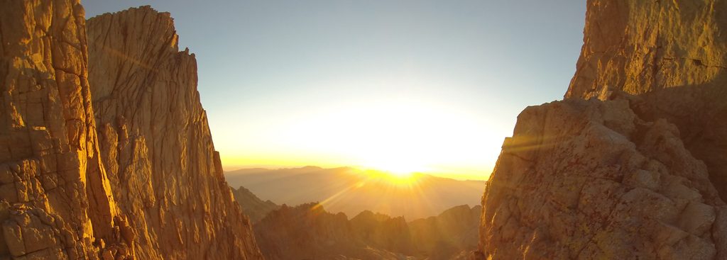
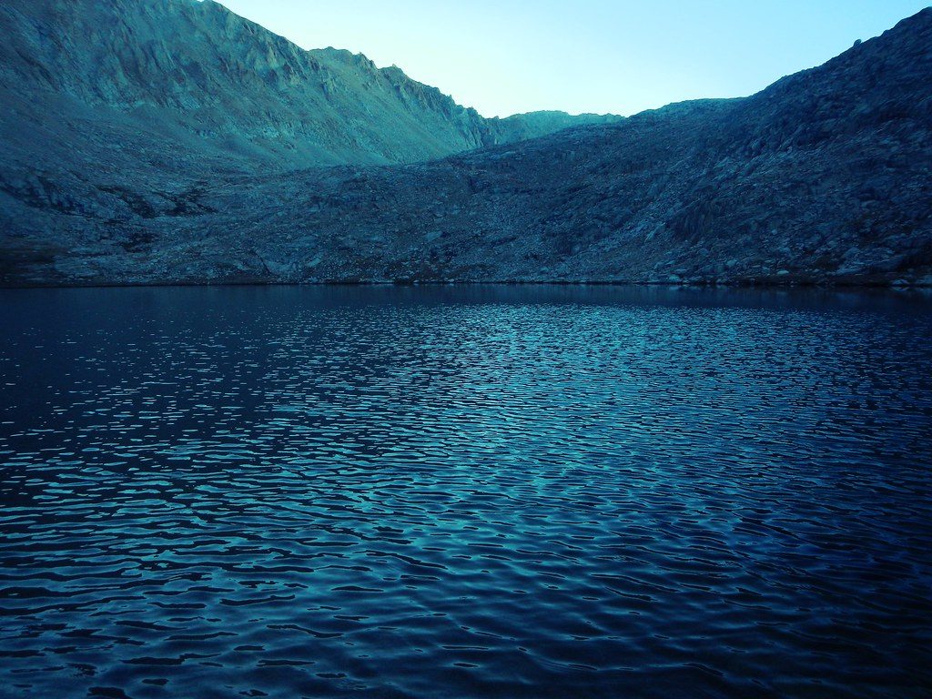
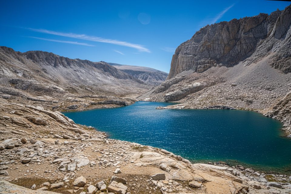
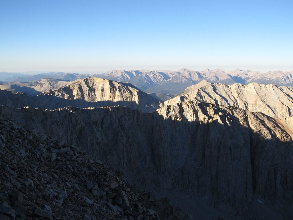
Eastward, the terrain drops quickly toward Trail Camp and alpine lakes; westward, the skyline bristles with granite pinnacles and the dramatic spine of the Sierra. Sunrises and alpenglow on clear mornings are a morale-boosting highlight as you approach or stand at Trail Crest.
For day hikers, starting between midnight and 3:30 am helps avoid afternoon thunderstorms, stay ahead of crowds that cause bottlenecks near and beyond Trail Crest, and line you up for prime sunrise/alpenglow light. Mid-summer offers the best odds of dry trail; early July can still bring lingering snow and ice in bigger snow years.
Trail Crest has no amenities—no water, no toilets, no shelter. It’s often windy and much colder than lower elevations, so bring layers, food, and enough water or a plan to filter elsewhere along the route. Above all, build in time and margin for altitude and weather changes.
Place · 1.3 mi away
Place · 1.3 mi away
Place · 1.5 mi away
Place · 2.1 mi away
Challenging · 3.4 mi away
Challenging · 3.7 mi away
Challenging · 18.5 mi away
Challenging · 18.5 mi away

Parkwolf Tour Guide
