
Place · 0.6 mi away
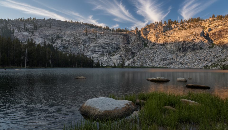
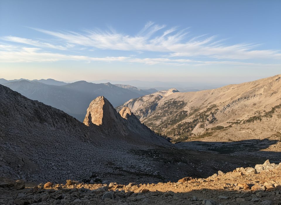
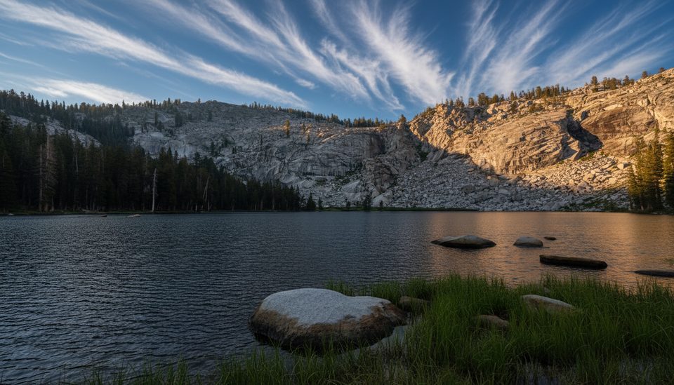
Two clear alpine lakes tucked below the Silliman Crest make this a classic day hike or backpack, with granite scenery, meadows, and the option to climb a bit higher for sweeping views from Silliman Pass. Expect a real workout and real rewards—this one earns its scenery.
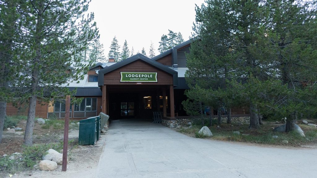
Start in the Lodgepole area and head up through mixed conifer forest. You’ll cross Silliman Creek (give it extra space for hygiene—it supplies Lodgepole’s drinking water) before reaching Cahoon Meadow, the first designated campsite. From there, climb to Cahoon Gap, drop to Clover Creek (look for bear lockers near junctions), and then grind up broad switchbacks along the East Fork of Clover Creek to reach the strip of forest between the two lakes. The final miles are the steepest.
Well-used backcountry camps sit by the south lake and in the rocky forest between the two lakes. A simple open-air pit toilet and bear lockers are provided at the lakes, with additional lockers along the approach. No campfires are permitted at Twin Lakes—bring a stove and leave any fire rings alone.
Overnighters need a wilderness permit; plan ahead and pick up the physical permit in Lodgepole before you start.
Snow can linger into summer and return as early as October. Above the Wuksachi cutoff the trail isn’t blazed, so when it’s snow-covered it can effectively disappear. Late summer usually brings easy rock-hop stream crossings. In peak summer, the Lodgepole/Giant Forest area gets busy—starting early and using the shuttle helps with parking and crowds.
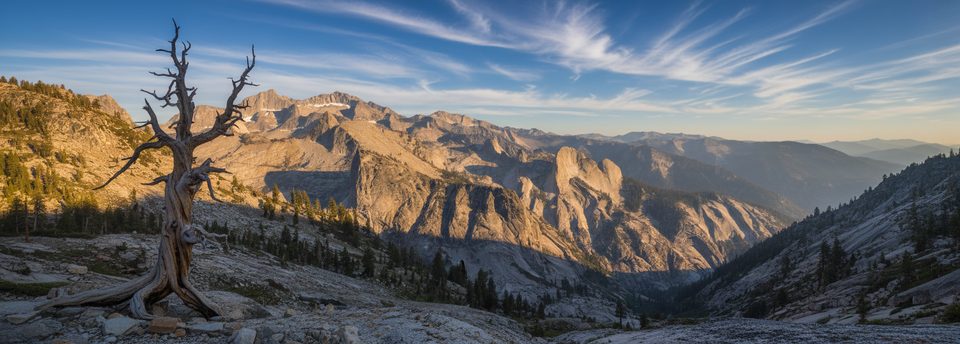
Most camping is clustered by the south lake, but you’ll find sites tucked between the two waters as well. Anglers mention good fishing; check current regulations. If you’ve got gas in the tank, a short climb to Silliman Pass unlocks wider views into the high country and adds a lot of payoff for a little extra effort.
Late summer into early fall offers the most reliable conditions and easier creek crossings. In summer, begin at dawn to beat heat and parking crunch, and bring serious mosquito repellent. Shoulder seasons can be beautiful but come prepared for snow and navigation challenges.
Place · 0.6 mi away
Place · 3.7 mi away
Place · 3.7 mi away
Place · 3.8 mi away
Moderate · 3.6 mi away
Challenging · 3.6 mi away
Easy · 3.7 mi away
Challenging · 4.3 mi away

Parkwolf Tour Guide
