
Place
Challenging
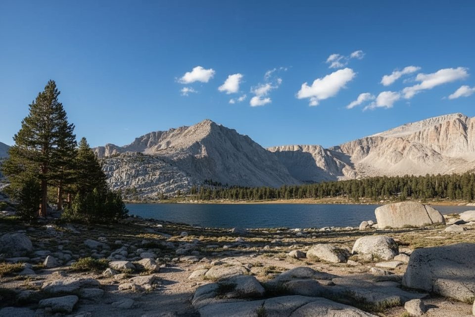
If you want a true Sierra crest experience without technical climbing, New Army Pass delivers. This high-elevation route links the Cottonwood Lakes Basin on the east with the Rock Creek/Soldier Lake country on the west, topping out around 12,300 feet with sweeping views of Mount Langley and the lake-dotted basins below. Most hikers tackle it as a big, challenging loop pairing Cottonwood Pass with New Army Pass.
The classic loop that samples both sides clocks in at 22.7 miles total with roughly 3,674 feet of gain. Expect a long day (around 10 hours 20 minutes for fit parties) or split it with a backpacking overnight. From the west (Sequoia side), a gentle but steady set of switchbacks climbs from near Lower Soldier Lake to the crest. From the east (Cottonwood Lakes), sandy forest and meadow trails give way to rocky granite switchbacks up to the pass. Variations include a shorter out-and-back to the pass from Cottonwood Lakes, or a west-to-east crossover that descends into Cottonwood Basin.
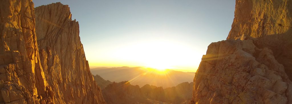
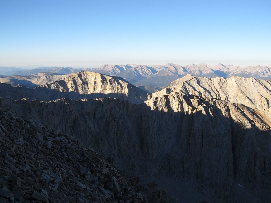
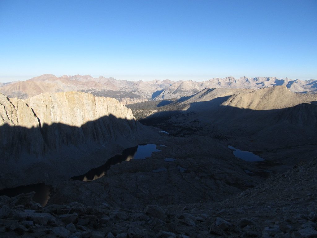
Big alpine drama: Mount Langley looming to the north, a string of glittering Cottonwood Lakes to the south, and broad Rock Creek meadows on the Sequoia side. In the right season, the upper slopes pop with wildflowers like Sierra primrose and alpine gold. Night skies in the Cottonwood Basin are superb if you’re backpacking. Water is commonly available along the route (Rock Creek branches, lakes), but always filter.
Make no mistake—this is a strenuous high-altitude hike. Thin air above 10,000 feet is the real crux for many. The west-side climb is surprisingly efficient thanks to well-graded switchbacks; the east-side approach includes sandy stretches and rocky upper switchbacks. Early-season lingering snowfields near the crest are common, and winds can be biting. Old Army Pass (unmaintained, north-facing) holds snow much longer and can require ice axe/traction—stick to New Army Pass unless you’re equipped and experienced.
Aim for when the Horseshoe Meadow road is open and the crest is mostly snow-free—typically summer into early fall. Start early for firm morning snow (when present), steadier winds, and more buffer for the distance. Midseason brings the best wildflower show on the upper slopes; mosquitoes can be worse below ~10,500 feet, so consider higher camps if backpacking.
Day hikes do not require a wilderness permit. Overnight trips do require a wilderness permit under the trailhead quota system if you’re camping in the backcountry. Food storage rules apply; carry and use proper bear-resistant storage where required. Pets are not allowed on national park trails; do not bring a dog if your route enters Sequoia.
Park at Horseshoe Meadow’s Cottonwood Lakes Trailhead (bathrooms at the trailhead). For the loop, you can also start at Cottonwood Pass Trailhead; the two are about 0.5 mile apart. Note the access road is seasonally closed depending on snow.
High altitude (>10,000 ft), lingering snow and icy winds near the crest, mosquitoes below ~10,500 ft, and a seasonally closed access road. Avoid unmaintained Old Army Pass unless properly equipped.
Place
Place
Place
Place
Challenging
Challenging
Challenging
Easy

Parkwolf Tour Guide
