
Place
Challenging
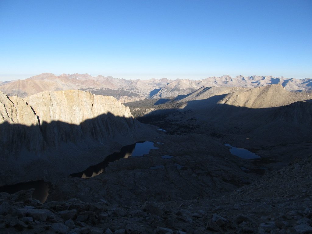
This is the JMT’s southern, high-alpine crescendo inside Sequoia: a crest-hugging traverse from the Kings–Kern Divide over Forester Pass through the upper Kern headwaters, past Crabtree Meadow, and up to Mount Whitney. The full John Muir Trail is a 211‑mile, point‑to‑point route from Yosemite Valley to Whitney; this Sequoia section delivers its loftiest scenery and historic finish. Much of the JMT coincides with the Pacific Crest Trail.
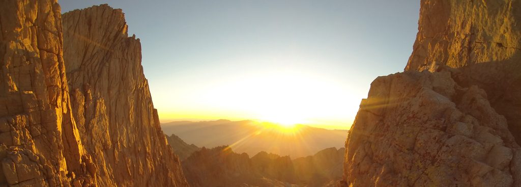
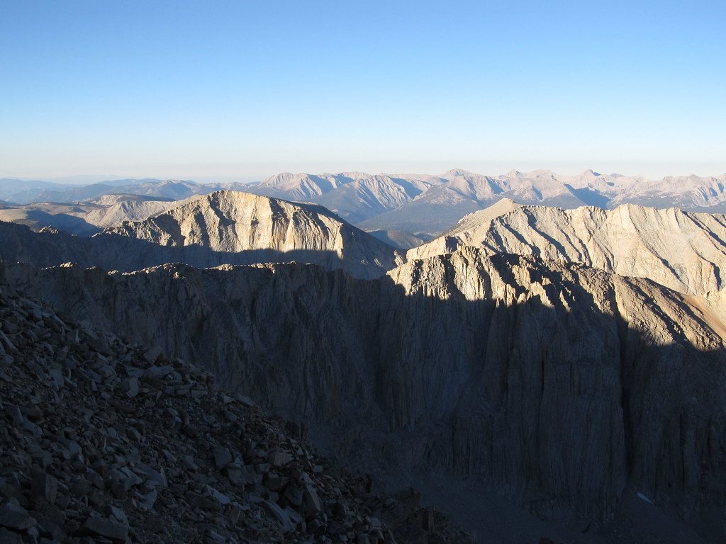
Expect superlative High Sierra country: broad granite basins, cliff‑lined canyons, and a skyline stacked with 13,000–14,000‑foot peaks. South of Forester Pass, the path holds near the Sierra Crest with far‑ranging views across the upper Kern drainage, then swings by Crabtree Meadow toward Whitney’s classic summit finish. Geology fans will recognize the glacial story written in U‑shaped valleys, scoured basins, and polished granite slabs that define this landscape.
This segment is hard. You’re at sustained high elevation, with major passes and long, remote stretches. Most thru‑hikers of the entire JMT travel southbound and take roughly three weeks end‑to‑end; starting lower up north helps with acclimatization. Early in the season, lingering snow can obscure passes and demand careful route‑finding.
There’s no single “JMT permit.” Your wilderness permit must come from the agency that manages your starting trailhead. If you begin within Sequoia & Kings Canyon, you’ll need a wilderness permit under their trailhead quotas. If you exit via the Mount Whitney Trail/Whitney Portal on the east side, you must have the appropriate Whitney Zone authorization. Pets are not allowed on any trails in Sequoia & Kings Canyon. This is a bucket‑list route that sees heavy use—practice Leave No Trace, keep groups small, stick to established routes, and protect meadows and streambanks.
Summer is the window here, but it’s still true alpine terrain. High passes often clear by late June; in big snow years, expect snow into early July. For the fewest snow issues and more stable conditions, late July through early October is the sweet spot. The High Sierra is known for generally mild, sunny summer weather, yet storms can build fast—start early and watch the sky.
Southbound is popular for the gradual ascent to altitude. Plan permits, resupply, and transportation far in advance—this trail crosses multiple jurisdictions and finishes on Whitney. Early season hikers should be ready for snow navigation; regardless of timing, carry updated maps and know your route.
No single trailhead parking along this segment. Common access is from the east via Whitney Portal for the southern terminus, or by connecting from quota‑managed Sequoia & Kings Canyon trailheads. Arrange transport in advance.
True alpine environment: rapid weather shifts, high‑elevation exposure, and early‑season snow on passes can require navigation skills. Heavily used—follow Leave No Trace. Pets are not allowed. Permits required based on your starting point; separate authorization needed if exiting via Whitney Portal.
Place
Place
Place
Place
Challenging
Challenging
Easy
Easy

Parkwolf Tour Guide
