
Place
Challenging
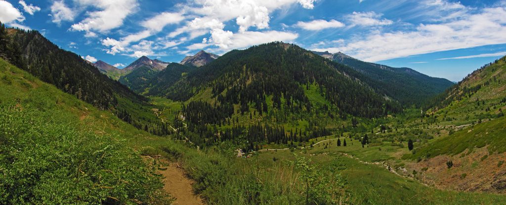
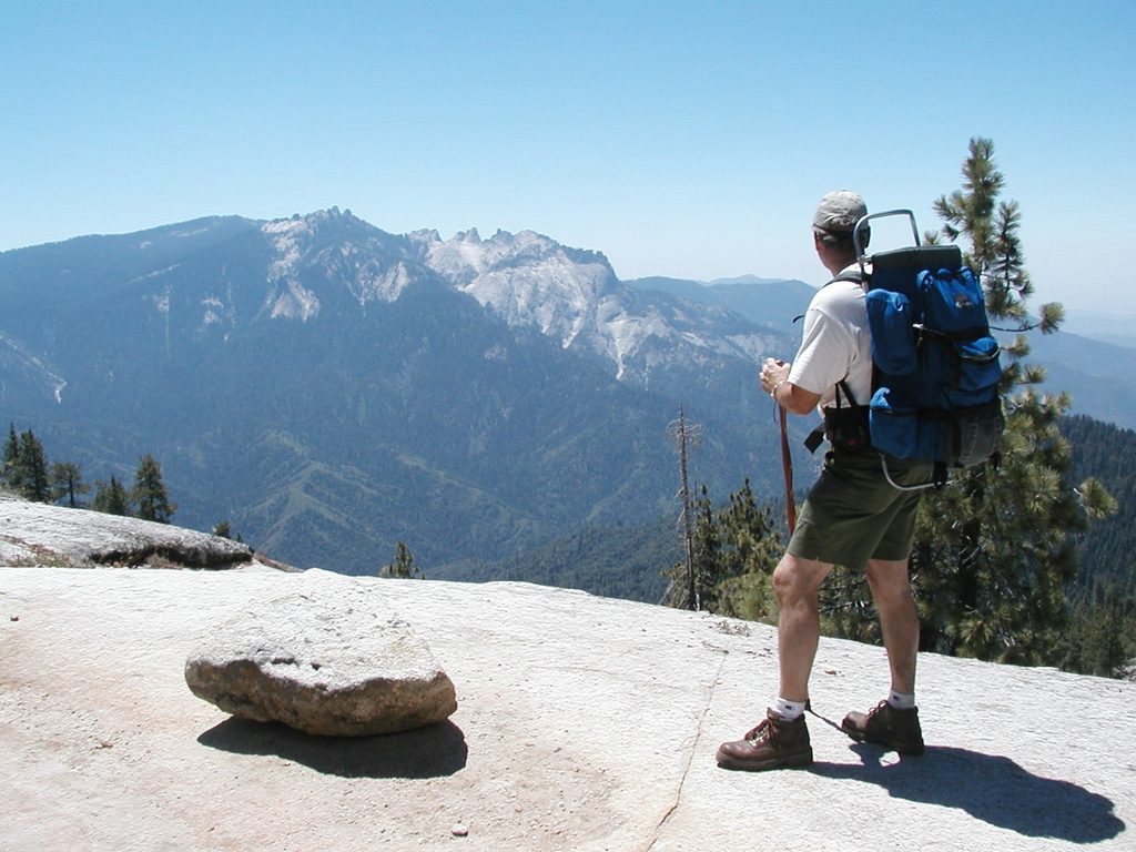
The Mineral King Loop is a strenuous high-country backpack that strings together airy passes and polished granite lake basins. The classic loop is about 37 miles total, with roughly 11,000 feet of elevation gain. Popular variants range from ~30 miles (shorter Sawtooth/Columbine option) to an extended traverse around 45 miles that folds in a stretch of the High Sierra Trail. Starting near 7,800 feet and topping out close to 11,800 feet, this route demands fitness and solid backcountry judgment—and it rewards you with big Sierra drama and quieter trails than the park’s headline circuits.
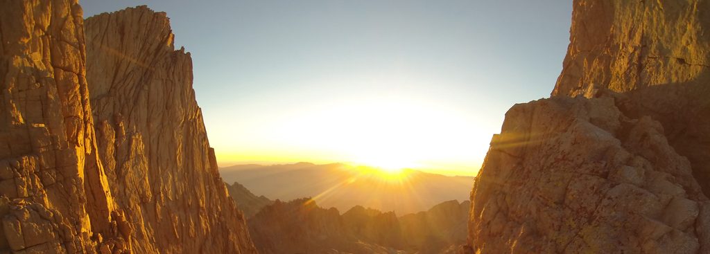
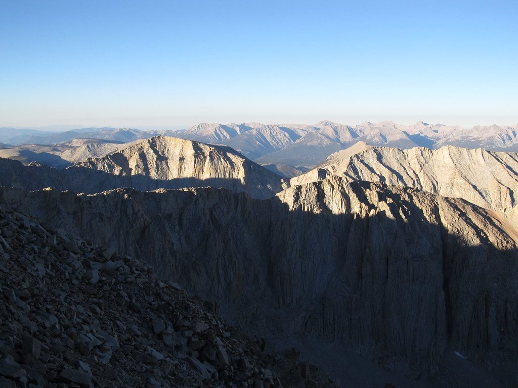
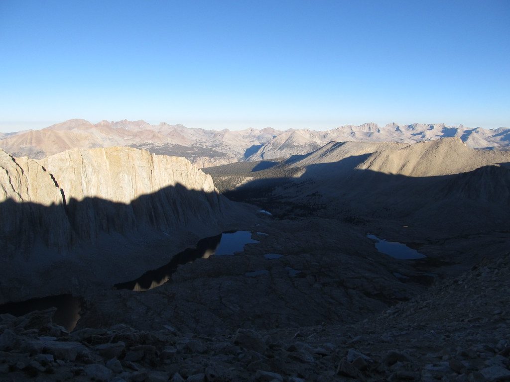
Expect a greatest-hits tour of Mineral King’s basins and gaps. The Sawtooth variant climbs to Monarch Lakes and then over steep, sandy, and partly unmaintained tread to Sawtooth Pass, with panoramic views and a dramatic drop to turquoise Columbine Lake on the far side. From there, a mellow glide down Lost Canyon leads to the sculpted granite shores of Big Five Lakes—prime for scenic, lakeside camps. Other classic pieces include Timber Gap and, on longer itineraries, Kaweah Gap via a section of the High Sierra Trail. No matter your exact line, you’ll thread classic alpine lakes, expansive granite canyon vistas, and restful creek corridors.
This loop is legitimately tough. The approach to Sawtooth Pass is the crux: sandy footing, faint use paths, and cairn-following on the upper slopes. Past Sawtooth, trails are generally well marked and maintained. Camps often sit on firm granite or gravel, so a cushy inflatable pad pays off. Black bears are active; rangers strongly prefer canisters over hangs, and mosquitoes can spike in certain basins—plan your layers and repellent accordingly.
Overnight permits are required, and advance reservations are standard in season. Most hikers pick up permits at the Mineral King Ranger Station before heading to the nearby Sawtooth Pass Trailhead. A community storage shed at the ranger station is handy for stashing any scented items you aren’t carrying, keeping vehicles safer from curious wildlife. For acclimatization and early starts, car-camp at Cold Springs or Atwell Mill the night before. Parking is at the Sawtooth Pass Trailhead just up the road from the ranger station.
The prime window runs roughly June through October, but high passes can hold snow early or late—check current pass conditions and be prepared for traction if needed. Start early for the long climbs and to nab prime camps near the lakes. Weekdays are calmer; even so, the approach to Monarch Lakes sees more traffic than the deeper basins. Air quality and heat can fluctuate in summer—build flexibility into your plans.
Park at the Sawtooth Pass Trailhead a short drive past the Mineral King Ranger Station; pick up your permit at the station and use the community storage shed for any scented items you’re leaving behind.
Steep, sandy, and partially unmaintained tread near Sawtooth Pass; early/late-season snow on high passes; active black bears (canisters strongly recommended); mosquitoes in certain basins; marmots may target vehicles at trailheads; high elevation adds altitude stress—acclimate.
Place
Place
Place
Place
Challenging
Challenging
Challenging
Easy

Parkwolf Tour Guide
