
Place
Challenging
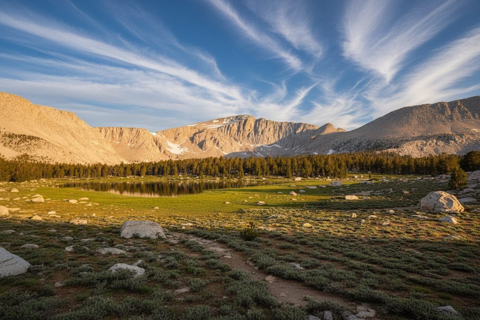
Mount Langley (14,026 ft) is a tall but approachable Sierra Nevada summit with a long, mostly non-technical standard route. You’ll start from Horseshoe Meadow and hike through the Cottonwood Lakes Basin before choosing either New Army Pass or Old Army Pass to reach the upper mountain. From there, the ascent crosses from Inyo National Forest into Sequoia National Park near the crest. The classic out-and-back is about 22.4 miles total with roughly 4,900 feet of gain; a shorter variant is listed around 19.3 miles, and some backpacking reports put the full outing closer to 26.5 miles depending on route choice and exact line to the summit. However you splice it, it’s a big day (or a great 2–3 day backpack).
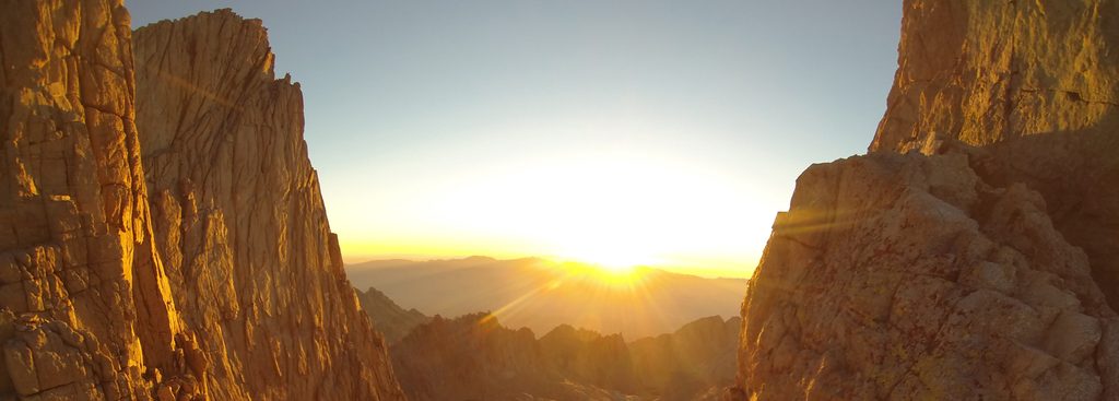
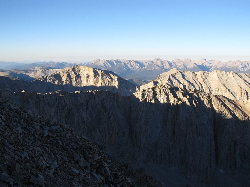
The approach trails through the Cottonwood Lakes are well-maintained and scenic, with easy grades that lull you into thinking this will be casual. The upper mountain proves otherwise: the broad, gray, almost sandy slopes are gorgeous but energy-sapping, and the constructed trail fades into cairned lines and use paths. Expect to leave the built tread high on the mountain and follow cairns. The final few hundred vertical feet are usually Class 2 with brief, optional Class 3 moves right below the summit. Winds can be cold even on nice days, and the altitude is the real crux—above 11,000 feet, every step can feel like work.
Both passes get you where you’re going. New Army Pass is longer with switchbacks and a more defined, sunnier path—often the safer bet when there’s patchy or lingering snow. Old Army Pass is steeper and more direct with some exposure; if any snow remains, it can be blocked or feel sketchy without proper skills and gear. Pick based on conditions and your comfort with exposure.
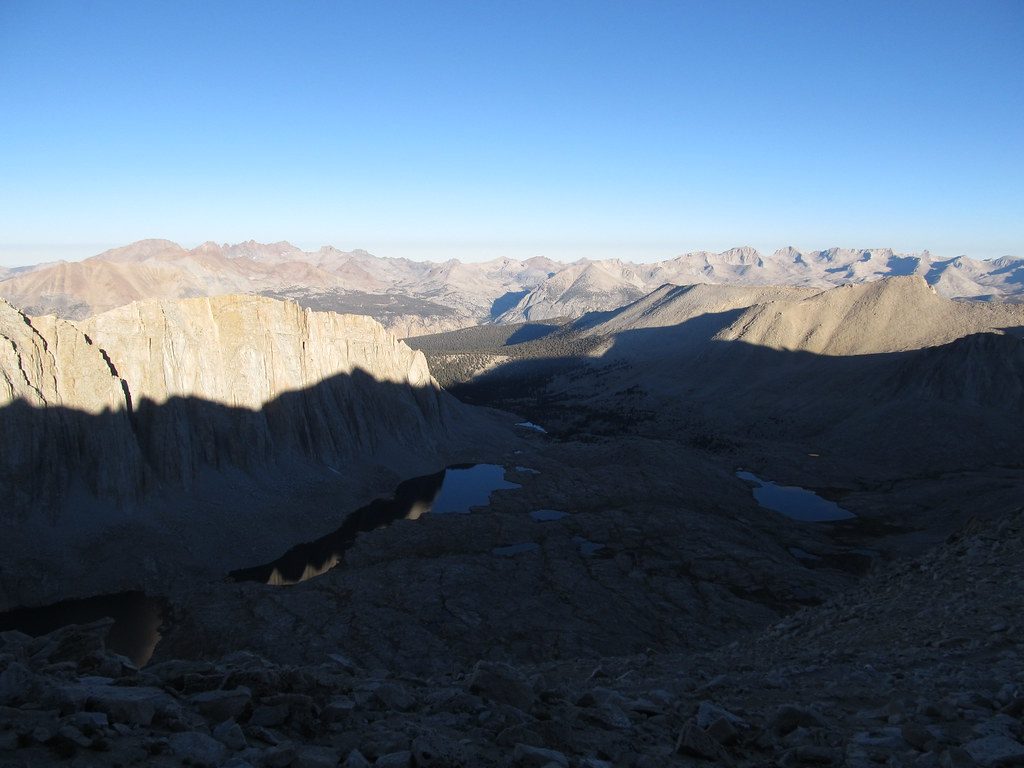
The Cottonwood Lakes Basin is a stunner—string-of-pearls alpine lakes and meadows that many consider among the Sierra’s finest. Compared to its famous neighbor, this peak typically sees fewer people, so you can get that big-peak experience with a little more breathing room.
Reliable water is found at the lakes; there’s no water above the passes, so top off before committing uphill and filter everything. Many hikers backpack this as 2–3 days, camping near Cottonwood Lakes or Long Lake to help with acclimatization and to make the summit push lighter. Trailhead amenities at Horseshoe Meadow’s Cottonwood Lakes Trailhead include vault toilets, bear boxes, and a water spigot, with generally easy parking and no parking permit required.
Overnight wilderness permits are required and quota-controlled for the Cottonwood Lakes entry during the main season; advance reservations open months ahead and a portion of permits are released closer to the date. Day hikers have reported being able to obtain free same-day permits. Because the standard summit route crosses into Sequoia National Park, dogs are not allowed if you plan to tag the summit.
Prime season is July through September, with September often bringing excellent weather and fewer mosquitoes—though wildfire smoke can be a factor some years. Early and late season (June and October) are hit-or-miss depending on snow, and the passes can hold snow unevenly; New Army Pass typically melts out sooner. Summer afternoons frequently build thunderstorms after about 1 pm—start before sunrise to summit early and get off exposed ridges before weather pops.
If you want a less-crowded 14er with first-rate alpine lakes, a high Sierra pass crossing, and a big sandy finish, this one delivers. It’s not technical, but it is long, high, and tiring. Start early, choose your pass wisely, and be ready for altitude, wind, and a bit of off-trail navigation. If you’re chasing the most famous summit around here, you know which neighbor to look at—but Langley is the smarter intro to Sierra 14ers for many hikers.
Park at Horseshoe Meadow’s Cottonwood Lakes Trailhead; generally easy parking with vault toilets, bear boxes, and a water spigot. No parking permit reported.
High altitude, strong summit winds, and frequent summer afternoon thunderstorms—start pre-dawn. Early/late season snow can block Old/New Army Pass; choose accordingly. Expect sandy footing, fading trail with cairns near the top, and brief Class 2–3 scrambling. Dogs are prohibited once you cross into the national park portion.
Place
Place
Place
Place
Challenging
Challenging
Challenging
Easy

Parkwolf Tour Guide
