
Place · 3 mi away
Challenging
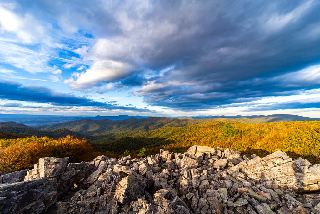
This is a big, committing circuit that strings together the Austin Mountain, Trayfoot Mountain, and Furnace Mountain trails with Madison Run Fire Road for about a 13-mile day. Expect rugged tread, long climbs, and a unique dose of Shenandoah geology: massive talus slopes that open up sweeping looks into the Shenandoah Valley and Blue Ridge.
Most hikers start at the Madison Run Fire Road gate near Grottoes and travel the loop via Austin Mountain, Trayfoot, and the Furnace Mountain spur, then close the loop on the fire road. The loop is signed at junctions, but it’s long with multiple intersections—carry a map or GPS. A short spur leads to Furnace Mountain’s rocky overlook, one of the South District’s underrated viewpoints. The Austin Mountain side crosses broad talus fields—slow going but memorable—and offers periodic windows through the trees. You’ll also encounter several stream crossings (including Madison Run). Terrain runs from dirt to ankle‑grabbing rock, plus stretches of loose scree and boulders.
Direction matters. One leg delivers a steep descent off the Austin Mountain ridge; the other is a sustained, sometimes sun‑exposed climb toward Furnace Mountain. Pick your poison early or save it for late—either way, it’s a stout day. Compared to Skyline Drive favorites, this loop sees fewer people, especially from the Madison Run approach. If you’ve got gas in the tank, many variants tack on nearby Blackrock for additional panoramic views; otherwise, the core loop stands on its own.
Spring through fall is prime: wildflowers and shade in spring/summer; spectacular foliage in fall. Winter brings clearer views but also ice—talus can be treacherous. The Furnace Mountain side has exposed stretches; start early on hot days to beat heat and sun, and expect more wind on ridges in colder seasons. Weekends can fill the small Madison Run pullout quickly, so arrive early.
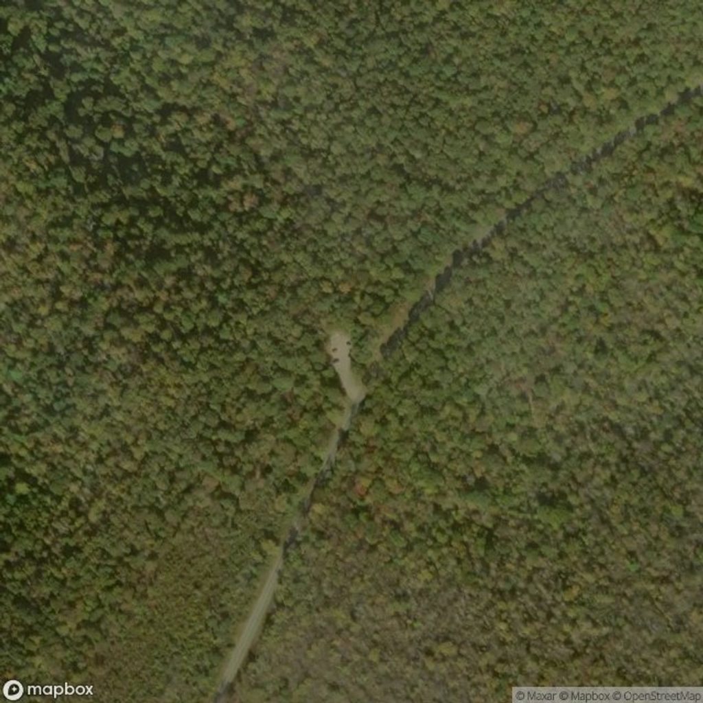
Unpaved/gravel pullout at the Madison Run Fire Road gate near Grottoes; limited spots and it fills early on busy days.
Huge talus slopes demand slow, careful footwork; expect steep grades, occasional stream crossings that swell after rain, and exposed sections that get hot. Winter ice can make rocks hazardous. Navigation is straightforward but long—carry a map/GPS.
Place · 3 mi away
Place · 3.1 mi away
Place · 3.2 mi away
Place · 3.2 mi away
Moderate · 3 mi away
Moderate · 3 mi away
Moderate · 3 mi away
Moderate · 3.1 mi away

Parkwolf Tour Guide
