
Place · 0 mi away
Moderate
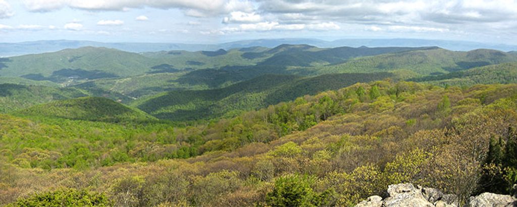
This is the park’s bite-size adventure: a short loop with a real hands-on rock scramble and huge, 360-degree views. The Bearfence Mountain Loop is roughly 1.1 miles total with about 300 feet of gain, and most hikers spend around an hour on it—longer if you linger on the summit.
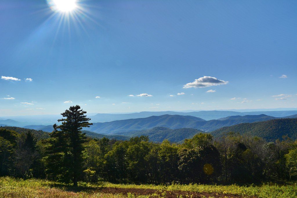
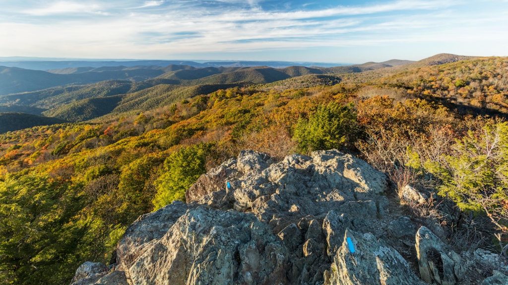
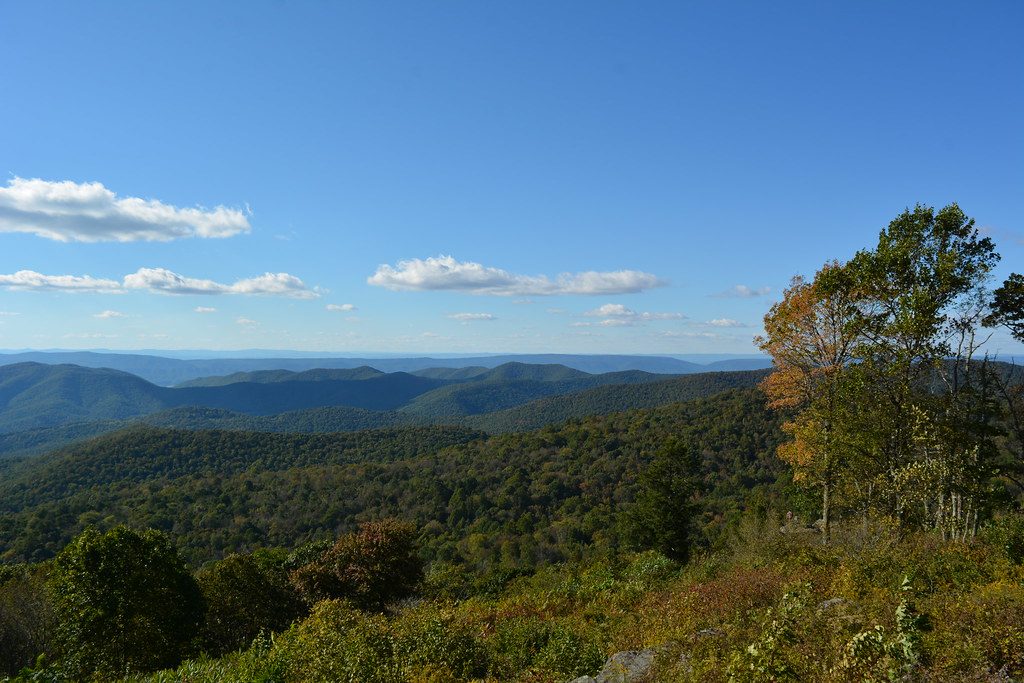
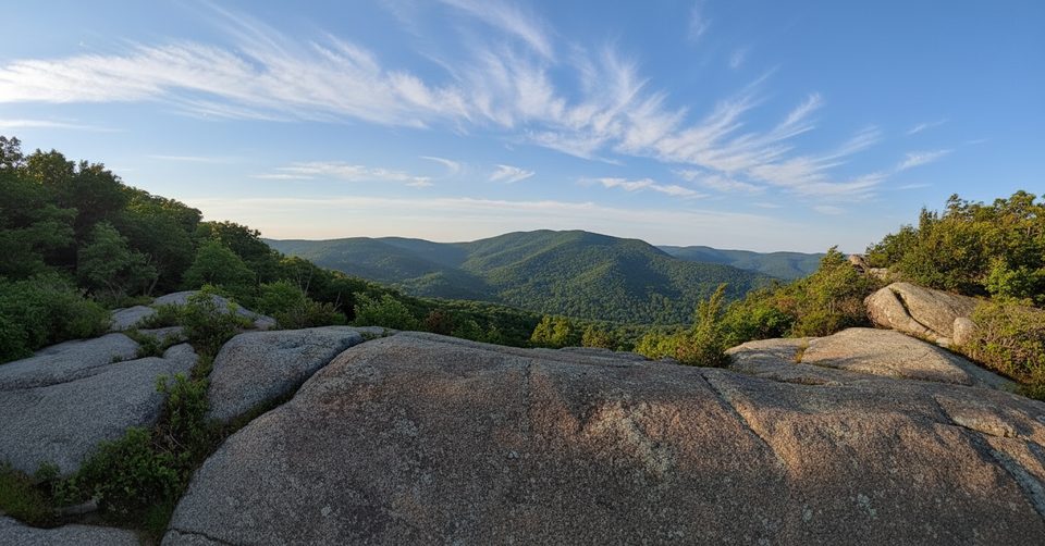
The payoff-to-effort ratio is hard to beat. You’ll use both hands to weave across boulders on the ridge, then pop onto exposed rock with panoramic views of the Blue Ridge, the Shenandoah Valley, and the Piedmont. In spring, wildflowers and mountain laurel line the approach; fall brings a blaze of color. The ridge rock is ancient blue‑green basalt—slick when wet, glorious when dry.
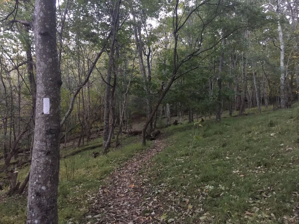
Start at the Bearfence Parking Area on Skyline Drive (mile 56.4). Cross Skyline Drive, climb the steps, and continue straight on the Bearfence Loop Trail, following blue blazes through the rock scramble to the summit. After the scramble, turn right on the connector trail, then left at the next junction to return to the lot—this closes the loop via a short stretch that parallels the Appalachian Trail.
Want the views without the scramble? Take the Appalachian Trail south from the area, turn left on the connector, then right onto the Bearfence Loop to a signed viewpoint. It’s easier and scenic, but you won’t get the full 360-degree experience.
It’s moderate overall, but the scramble demands balance, flexibility, and comfort with heights. Not recommended for hikers with a fear of exposure or troublesome knees. Pets are not allowed here, and the route is not accessible for wheelchairs or strollers.
Spring and autumn are prime—cooler temps, wildflowers or foliage, and clearer views. Summer is lush but humid and busy. Skip this hike when rocks are wet, icy, or in heavy fog; the scramble becomes hazardous. Weekends and holidays see bottlenecks on the ridge—go early or on a weekday for a smoother flow.
If you’re eyeing a bigger challenge later, this loop is a great warm-up for Shenandoah’s longer scrambles like Old Rag.
Bearfence Parking Area on Skyline Drive at mile 56.4; cross Skyline Drive to start. The lot is small and fills quickly.
Hands-on rock scramble with exposure; follow blue blazes. Rocks are slick when wet or icy and hazardous in fog. Not recommended for those with a fear of heights. No pets.
Place · 0 mi away
Place · 0 mi away
Place · 0.4 mi away
Place · 0.8 mi away
Challenging · 1.2 mi away
Challenging · 1.2 mi away
Easy · 1.2 mi away
Moderate · 3.5 mi away

Parkwolf Tour Guide
