
Place · 0 mi away
Challenging
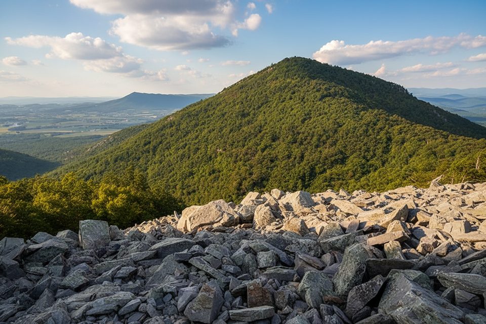
This is Shenandoah’s wild side: a roughly 10.2‑mile loop that drops from Skyline Drive into the Big Run drainage, then claws back to the ridgeline via Rockytop before cruising the Appalachian Trail back to your car. Expect around 2,400–2,600 feet of cumulative gain, real solitude, and a satisfying mix of airy views and cold creek time. It’s strenuous, but if you like big loops that feel remote, this one delivers.
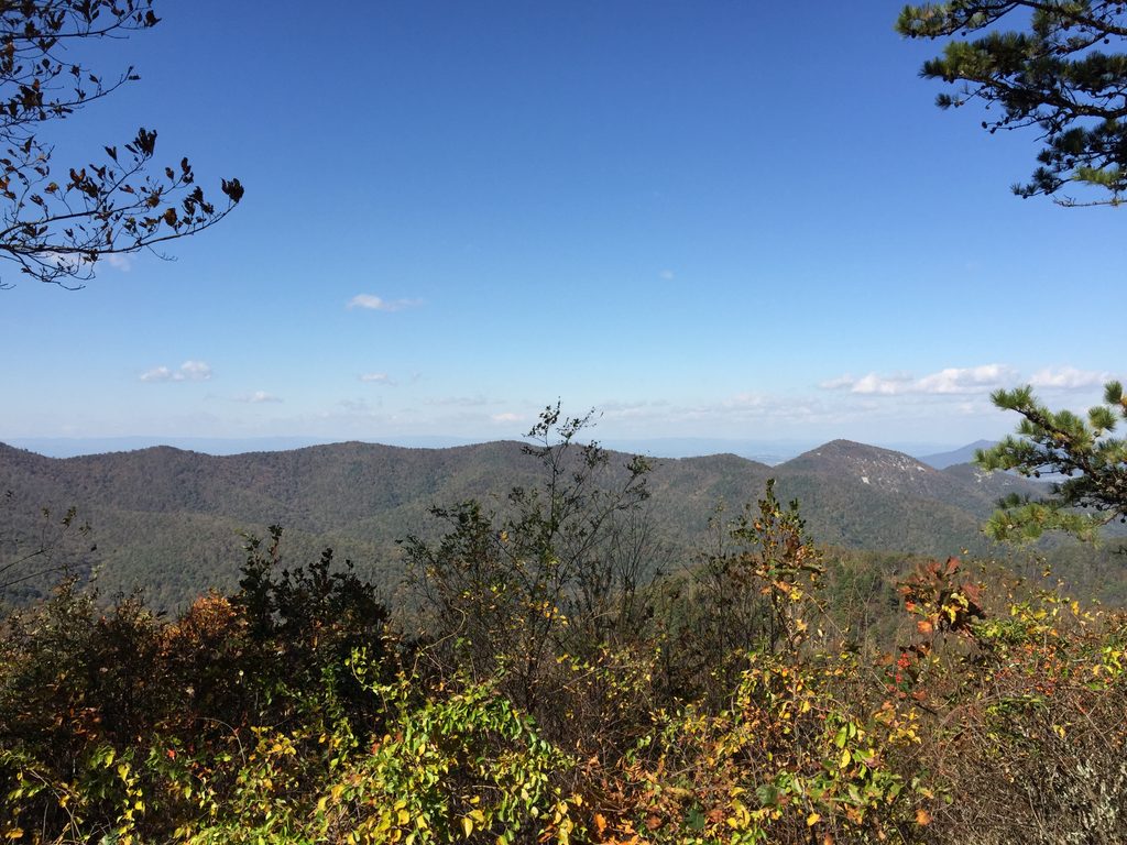
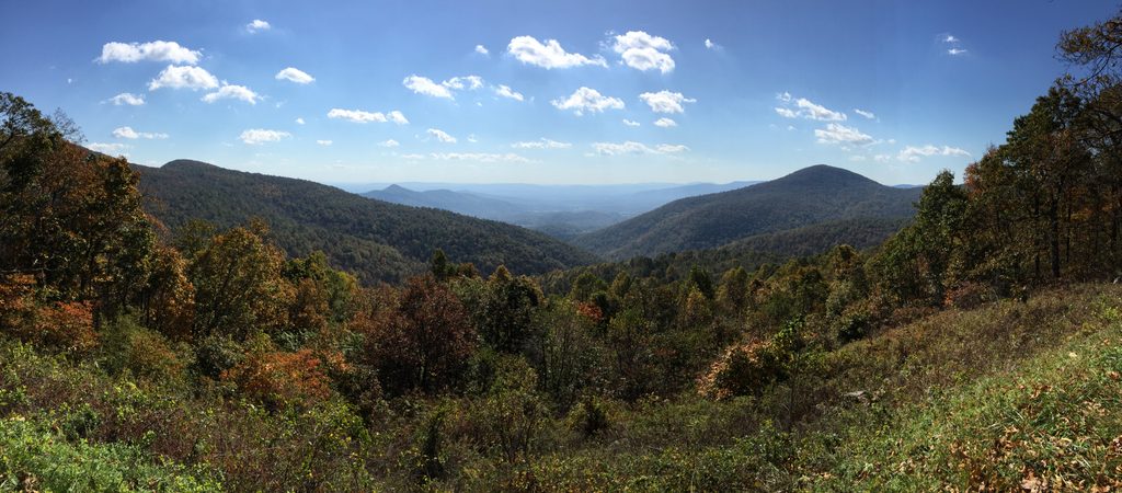
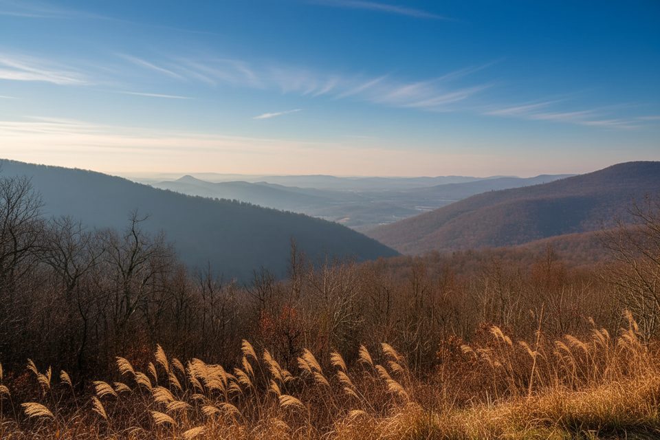
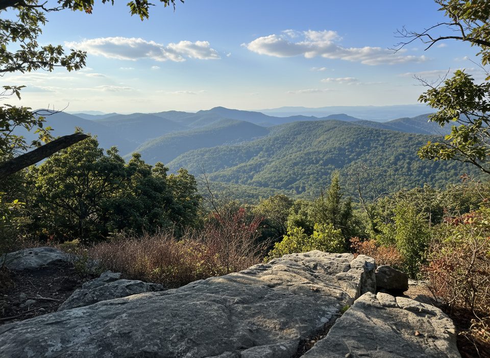
Start at the Big Run Overlook parking area on Skyline Drive (South District, Loft Mountain area). Most hikers descend first: take the Big Run Loop/Trail down into the valley, where the grade steepens and footing turns rocky in places. Down low, the trail travels near Big Run—a clear mountain stream with small cascades and pools—and makes multiple crossings that can be ankle‑to‑knee deep after rain. From the bottom, turn up Rockytop for the day’s grind. The climb is steep and sustained but throws you periodic windows across the Shenandoah Valley toward the Massanutten/Trayfoot/Loft Mountain country. Finish along the Appalachian Trail on the ridgeline, an easy‑to‑follow finale with breezes and long looks into the Big Run country.
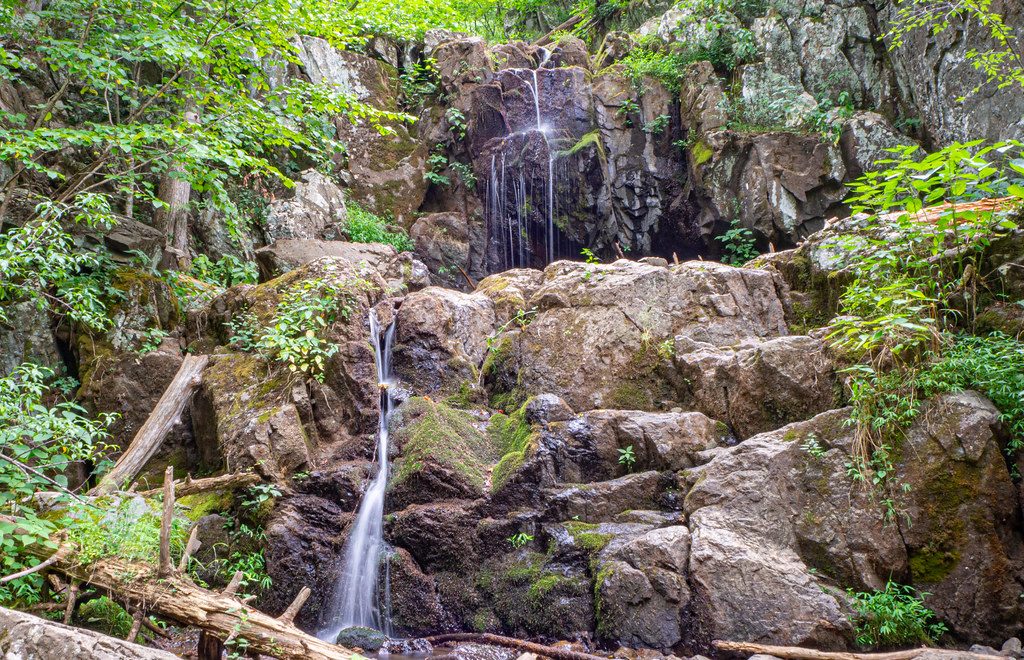
What you’ll see: hardwood forest with tunnels of mountain laurel and rhododendron, ferny understory, and spring wildflowers. In fall, the Big Run valley glows with color. Wildlife is a real possibility here—white‑tailed deer, wild turkey, and black bear are commonly reported, along with a chorus of songbirds. Some slopes show patches of regrowth from past fires, adding texture to the landscape.
Trail reality check: tread can be rocky, muddy after rain, and lightly traveled in stretches. Intersections are signed, but certain segments in the Big Run corridor have fewer blazes than you might expect—download an offline map or bring paper. Cell service is unreliable. The stream crossings are usually manageable in normal flows; after wet spells, plan on wet feet.
Tips and tricks: wear sturdy shoes and bring trekking poles for the fords. A water filter is handy—Big Run is a reliable source except in drought. If you hike clockwise (down first), the big climb comes late; counter‑clockwise spreads the work earlier. Backpackers must use pre‑existing sites only; there are established options along the Big Run corridor (e.g., on Big Run Portal and downstream of Rocky Mountain Run), but do not count on camping at the Big Run Portal/Big Run Trail junction—some sites there have been removed. A free backcountry permit is required for overnight trips.
Best time to hike: spring and fall are prime—moderate temps, strong flows for photogenic crossings, wildflowers or peak foliage, and fewer bugs. Summer is lush but hot and humid; the creek is a perk, but crossings can swell after storms. Winter offers open views but can be icy—bring traction if temperatures dip.
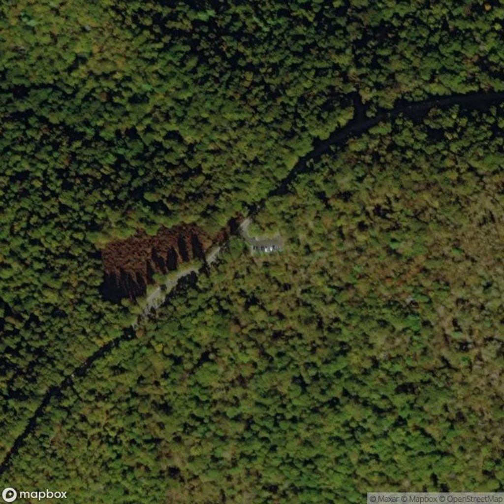
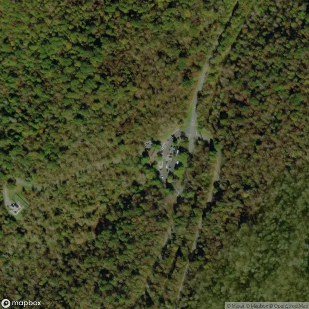
Park at Big Run Overlook parking area on Skyline Drive (South District, near mile 81.2). The loop begins from the overlook.
Expect several Big Run fords—after rain they can be high and slippery. Remote stretch with unreliable cell service; some segments have sparse blazes—carry offline maps. Steep, sustained climb out of the valley, especially if hiked clockwise.
Place · 0 mi away
Place · 0.7 mi away
Place · 1 mi away
Place · 1.1 mi away
Challenging · 0 mi away
Moderate · 0.1 mi away
Easy · 1.4 mi away
Easy · 1.4 mi away

Parkwolf Tour Guide
