
Place
Challenging
What to expect
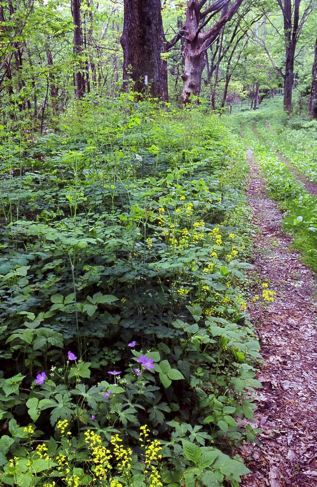
A remote, forested walk along a cold, clear mountain stream, the Conway River Trail is about 1.0 mile inside the park, linking the Slaughter Ridge Trail to the Conway River Fire Road. Expect dense woods, rhododendron thickets, and stretches right beside rushing water. It’s a true backcountry feel with frequent wildlife sightings and little development—great for solitude, less so for big views.
Route options
The trail itself is short, but it’s commonly stitched into longer routes via Slaughter Ridge Trail and the Conway River Fire Road (that fire road runs about 1.4 miles and continues toward the Rapidan Wildlife Management Area). Those combos can push a full-day 14–16 mile loop for experienced hikers or horsepackers. Terrain is a mix of singletrack and fire road with moderate ups and downs, occasional stream crossings, and muddy sections after rain.
Scenery and wildlife
This is a river-first hike: look for brook and brown trout in the clear pools and riffles, plus the usual forest dwellers—deer and, possibly, black bears—especially during quieter seasons. The Conway River drains the east slope of the Blue Ridge and forms a historic boundary between Greene and Madison Counties, carving through ancient crystalline rock and narrow valleys.
Is it worth it?
If you want a quiet, immersive forest-and-water hike with the option to build a bigger loop, yes. If you’re after sweeping overlooks, pick something else; this one trades vistas for a shaded, watery corridor and backcountry solitude.
Best time to hike
Spring and fall are the sweet spot: cooler temps, lush foliage (or color), and reliable flows. Summer is deeply shaded but humid with ticks. Winter is doable, though crossings can be icy or high—use caution. For longer loops that venture onto state lands, wear blaze orange in hunting season.
Know before you go
Small lots/pullouts at the Meadow School trailhead (Bearfence/Meadow Sch Parking) and at the boundary gate near Rapidan Wildlife Management Area; spaces are limited.
Expect stream crossings, slick rocks, and muddy tread; limited cell service; wear blaze orange if your route crosses into Rapidan Wildlife Management Area during hunting season; carry a detailed map for junctions and boundaries.
Place
Place
Place
Place
Challenging
Challenging
Moderate
Challenging

Parkwolf Tour Guide
