
Place · 1.8 mi away
Moderate
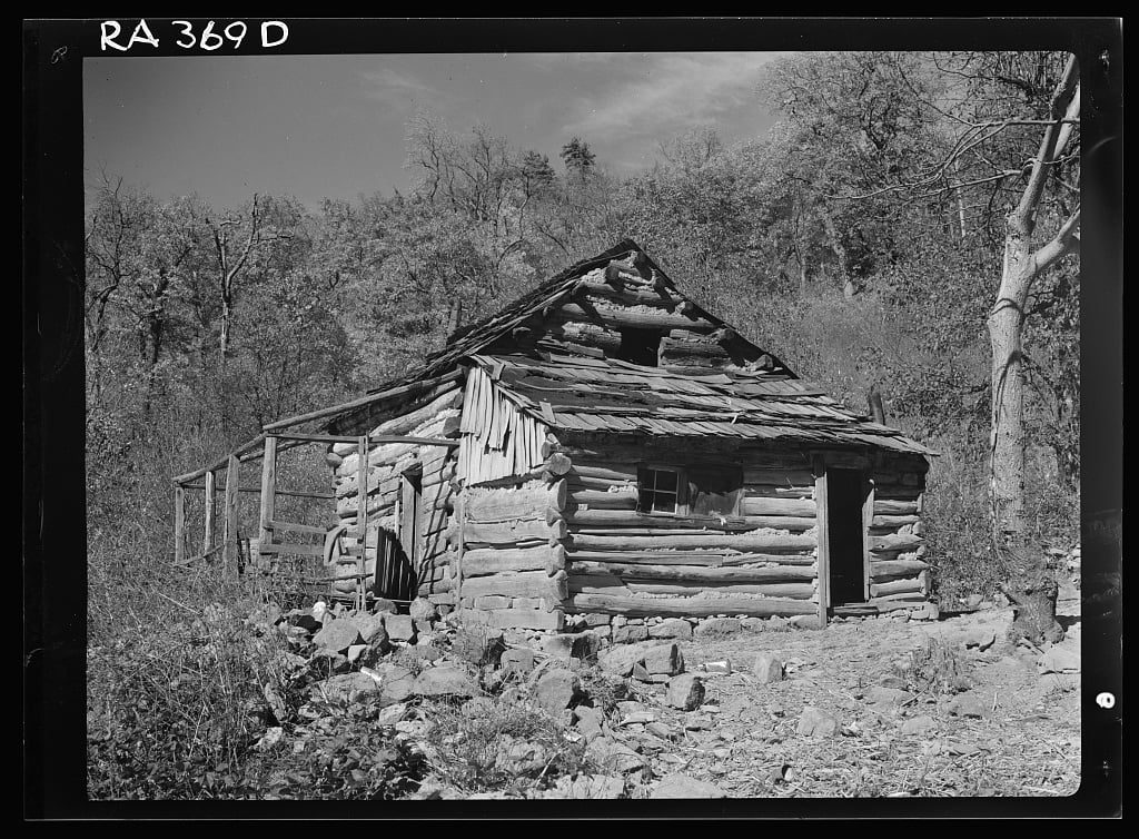
Corbin Hollow is a serene, forested walk that trades big summit views for streamside beauty and a dose of Blue Ridge history. Expect a moderate ascent/descent through hardwood forest, stretches of mountain laurel, and frequent company from the Hughes River. The standout is historic Corbin Cabin—an evocative chestnut‑log homestead tied to early settler life in these hollows.
Length is about 6.0 miles total as an out‑and‑back (commonly cited between 5.8 and 6.2 miles), with roughly 1,200–1,500 feet of gain depending on how you link it. Plan on 3–4 hours. This is a classic hollow hike: steady grades, some rocky footing, and multiple stream crossings that add fun when water is low and real caution after rain.
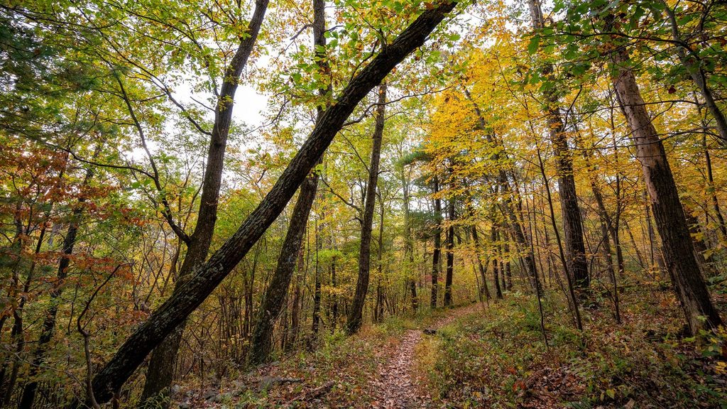
Scenery skews intimate: boulder‑strewn streams, laurel blooms in late spring, lush summer shade, and fiery fall color. You’ll also pass remnants of pre‑park life—old walls, fences, and the restored Corbin Cabin near the river. It’s usually quiet compared to nearby Old Rag, making it a solid pick if you value solitude over panoramas.
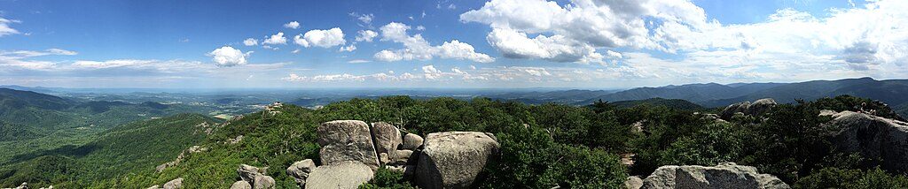
If you want more mileage, this trail commonly pairs into loops with Nicholson Hollow and Corbin Mountain, keeping you in the river corridor and historic landscape rather than chasing big overlooks. If sweeping views are your priority, choose Old Rag instead; this one is about water, woods, and history.
Best time to hike: Spring for wildflowers and mountain laurel; fall for color and crisp air. Summer is pleasant but can be buggy and muddy after storms; the river offers cooling stops and occasional swimming holes. Winter is viable for experienced hikers—leaf‑off views improve and crowds vanish—but ice or high water can make crossings tricky.
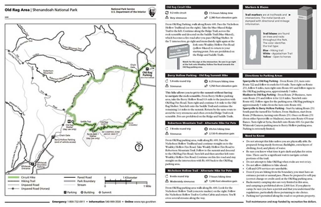
Logistics: Park at the Old Rag parking area on Nethers Road (Route 600). Pets are allowed on a 6‑foot leash. No special permit is needed for this trail beyond the park entrance fee; an Old Rag day‑use ticket only matters if you connect to the Old Rag summit. Download a map in advance—cell service is unreliable.
Use the Old Rag parking area on Nethers Road (Route 600); arrive early on weekends as it can fill.
Frequent stream crossings; water can run high and slippery after rain or in winter. Expect muddy sections and unreliable cell service—carry a downloaded map.
Place · 1.8 mi away
Place · 3.3 mi away
Place · 3.4 mi away
Place · 3.8 mi away
Challenging · 0 mi away
Moderate · 0 mi away
Challenging · 0.1 mi away
Challenging · 0.3 mi away

Parkwolf Tour Guide
