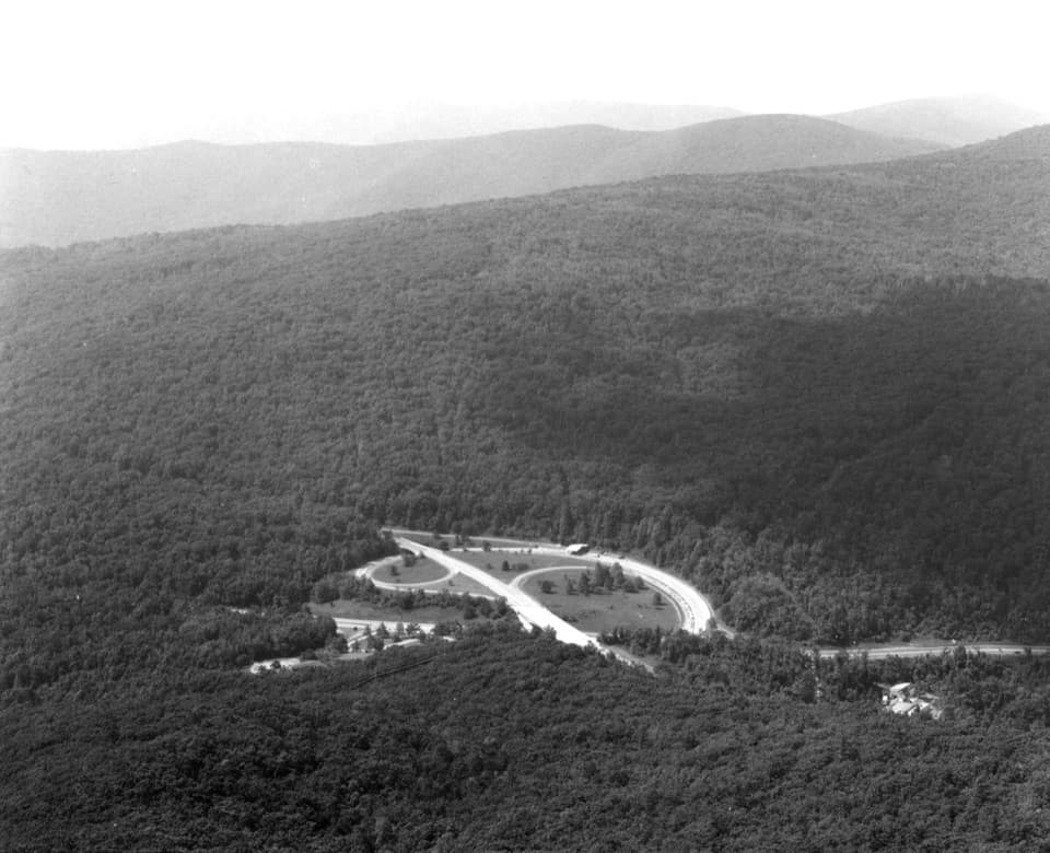
Lower Whiteoak Falls in Shenandoah National Park

#11 of 114 sights in Shenandoah

Sight · Shenandoah National Park

Lower Whiteoak Falls

A rocky creekside hike to the waterfall basin in Whiteoak Canyon.

Photo: National Park Service
Type
Sight
Nearest trail
0.9 mi
Audio stories
4 nearby
  • Trailhead
  • Parking

Hear the audio tour

Lower Whiteoak Falls: Start at the Boundary

Overview

About Lower Whiteoak Falls

Why stop

  • Smaller cascades and creekside scenery make the walk rewarding before the main falls.

Heads up

  • The waterfall basin takes a rough, rocky approach with a scramble down from the trail.

Map

Where it is

Loading the Shenandoah map
Full map
SightLower Whiteoak Falls38.55584, -78.35316
Keep this map with you offline in the Parkwolf app

Plan your stop

Before you go

2 active Shenandoah alerts

  • ClosureOld Rag Trailhead main lot closedThe Old Rag Trailhead main parking lot is closed to vehicles and pedestrians for infrastructure improvements; use the existing overflow lots. - Work is expected to be completed by November 2026.Official details
  • ClosureBackcountry camping and zone closuresBackcountry camping is prohibited on the Appalachian Trail from Lewis Mountain to Big Meadows, and the Naked Creek backcountry zone is closed.Official details

Shenandoah alerts
A park ranger sits on a dash-mounted phone, talking, as Parkwolf’s Tour Guide plays “Army Cutworm Moths: A Grizzly Bear Buffet” on Grand Loop Road below Dunraven Pass in Yellowstone
Parkwolf Tour GuideThe highest, rockiest slopes around here are a summer buffet for grizzly bears.

Shenandoah Tour Guide

Your drive to Lower Whiteoak Falls, narrated.

Parkwolf is a GPS audio tour guide for Shenandoah National Park. As you drive, it chimes in with what’s ahead: hidden gems, upcoming stops, history, geology, and wildlife, right through your car’s speakers.

See the Shenandoah audio tour

Recorded for this place

Lower Whiteoak Falls: Start at the Boundary
0:00 / 0:25
“You're coming up on Whiteoak Canyon's boundary trailhead on Route six hundred, for the hike to Lower Whiteoak Falls.”

Plays as you drive up to Lower Whiteoak Falls in the Parkwolf Shenandoah Tour Guide.

More stories near here in the app

  • Berry Hollow: Old Rag Without the Ridge Scramble
  • Crescent Rock Overlook: Hawksbill Without the Hike
  • Hawksbill Gap: The Short, Steep Summit Route
  • Timber Hollow Overlook: Beyond Nakedtop Mountain
  • 146 audio storiesacross Shenandoah’s roads, triggered by GPS as you drive
  • Wildlife heatmapsfor Black Bear, Bald Eagle, White-tailed Deer, and 13 more
  • Works offlinemaps, 163 trails, 142 places, and audio download before you lose signal
  • CarPlay readysimple controls built for the drive
★★★★★
“Fantastic app with many points of information… It’s great to just turn on while you’re driving and it gives you an audio tour of the national Park. We love it!!!!”
JMJamesApp Store review
Download Parkwolf on the App StoreGet Parkwolf on Google Play

4.7 from 8,600+ ratings

Guide

More about Lower Whiteoak Falls

The lower falls outingLower Whiteoak Falls is a cascade in Whiteoak Canyon, reached from the boundary parking area on…

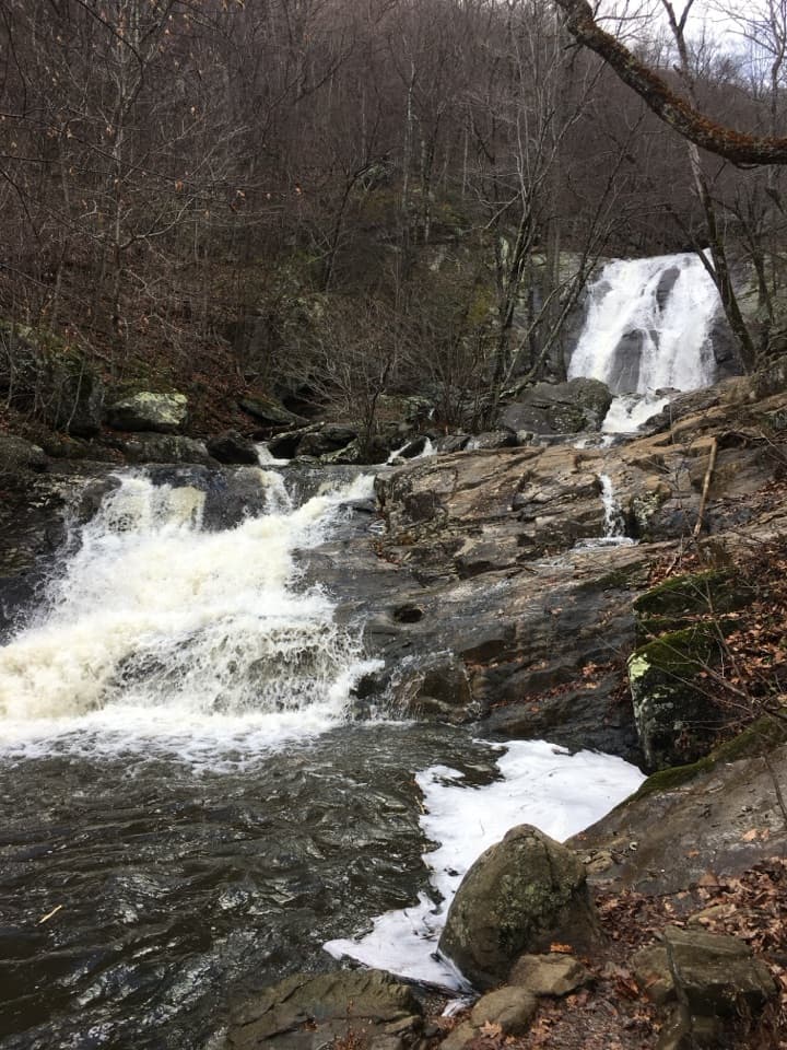
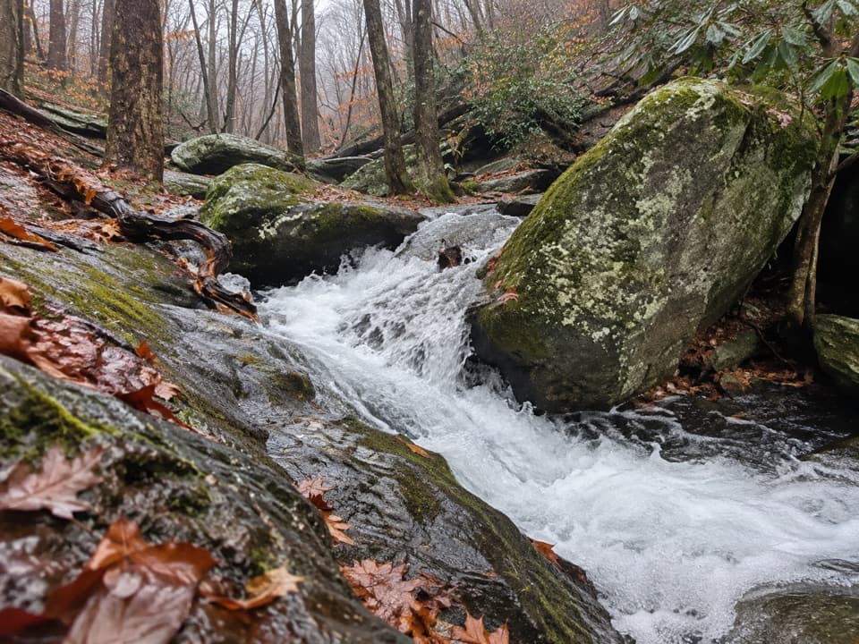
Lower Whiteoak Falls is a cascade in Whiteoak Canyon, reached from the boundary parking area on Whiteoak Canyon Trail. This is the lower-falls stop on a route that continues to Upper Whiteoak Falls. Keep right at the Cedar Run Trail junction, cross a small stream, and continue to the lower fall. Smaller cascades and creekside stretches make the walk worthwhile before you get there.

Plan for the longer estimateRoute estimates range from 2 to nearly 3 miles round trip, with about 400 to 500 feet of…

Route estimates range from 2 to nearly 3 miles round trip, with about 400 to 500 feet of climbing. Plan for closer to 3 miles: a detailed route account places the falls roughly 1.4 miles from the trailhead. You return the same way. Turn around at the lower falls unless you want to continue toward the upper falls and take on a much longer hike.

Getting to the waterThe trail crosses streams and has rocky sections, stone steps, and a boulder field.

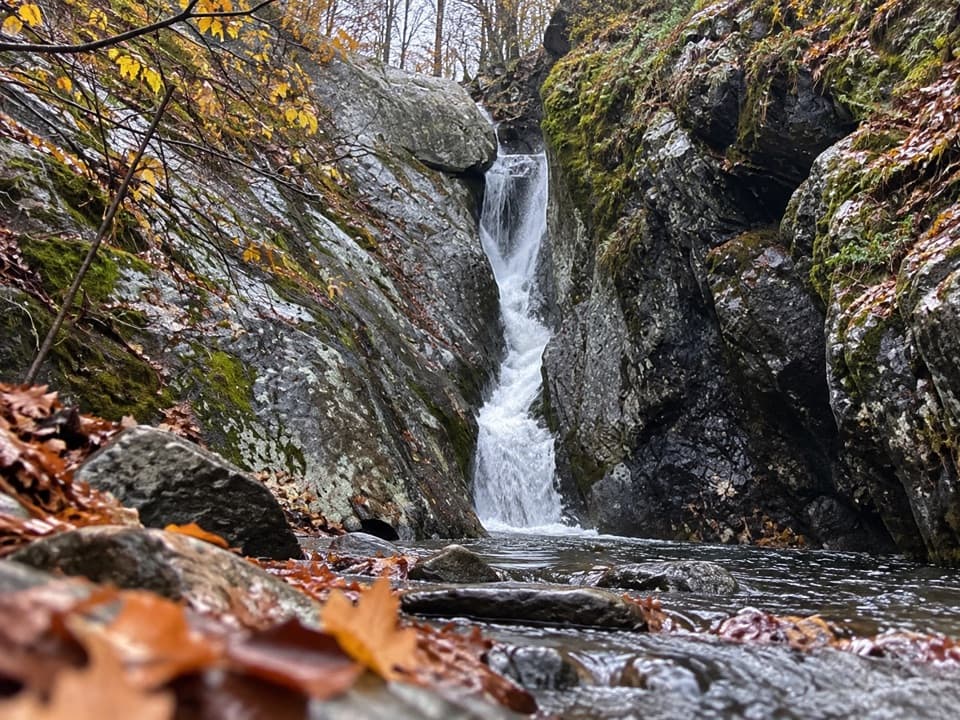
The trail crosses streams and has rocky sections, stone steps, and a boulder field. Reaching the basin means scrambling down rocks from the trail; this is not a paved viewpoint, and the route does not meet ADA guidelines. The waterfall makes a strong close-up with the boulder-strewn creek in front, but the scramble is part of that view. The pool is a popular warm-weather stop.

Start at the boundaryNavigate to the Whiteoak Canyon parking area at the park boundary, not to the waterfall…

Navigate to the Whiteoak Canyon parking area at the park boundary, not to the waterfall coordinates. A Shenandoah entrance fee is required. Dogs are allowed on this route but must stay on a leash no longer than six feet.

Wildlife

Wildlife in Shenandoah

All Shenandoah wildlife maps

Sighting maps show where each species has been reported across Shenandoah. Wildlife moves, so no sighting is guaranteed.

Keep exploring

Near Lower Whiteoak Falls

See it all on the map

Trails nearby

More stops nearby

Parkwolf’s Shenandoah ranking

Top sights in Shenandoah

All 142 places
  1. 1Old Rag MountainSight
  2. 2Big MeadowsSight
  3. 3Hawksbill SummitSight
  4. 4Stony Man SummitSight
  5. 5Dark Hollow FallsSight
  6. 6Marys RockSight

Take Parkwolf to Shenandoah.

The audio tour guide for the drive, plus offline maps, trails, and wildlife heatmaps for when the signal drops.

4.7 from 8,600+ ratings

Download Parkwolf on the App StoreGet Parkwolf on Google Play