
Place · 2 mi away
Challenging
If you want Old Rag–caliber views without Old Rag–level crowds or a rock scramble, Robertson Mountain delivers. Expect a strenuous climb, broad summit vistas toward Old Rag and the Virginia Piedmont, and a classic Blue Ridge forest walk.
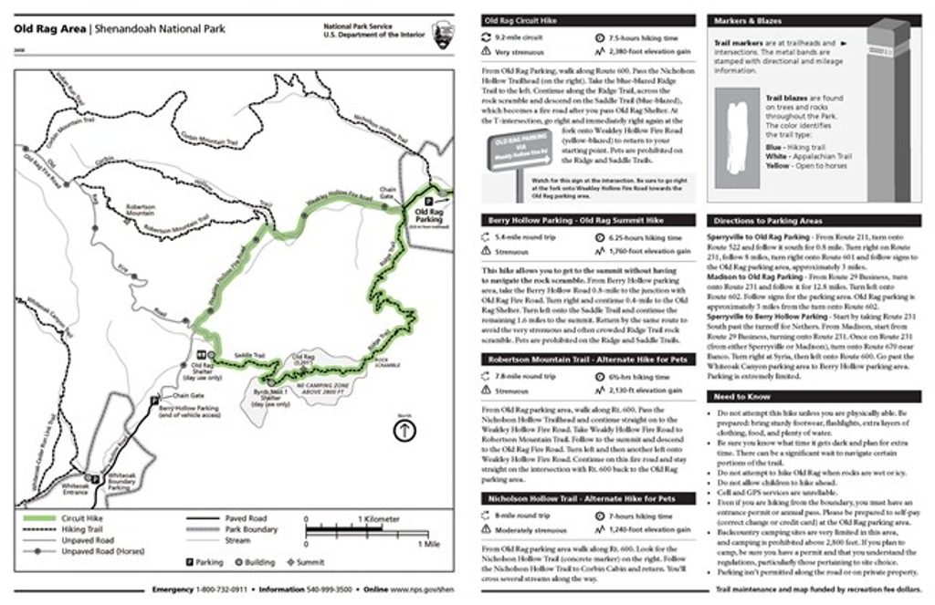
Most hikers do this as a loop from the Old Rag parking area near Nethers via Weakley Hollow Fire Road to the Robertson Mountain Trail and back, typically 7.8–9.7 miles total; a common loop clocks around 8.2 miles. Plan on roughly 4.5–5 hours. The Robertson Mountain section is the crux: about 1,700 feet of gain in just over 1.5 miles—one of the steepest grades in this part of the park. Footing is mostly dirt and gravel with rocky, uneven stretches.
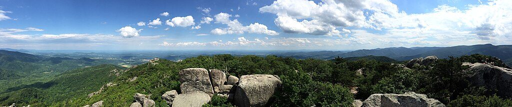
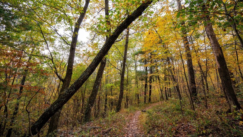
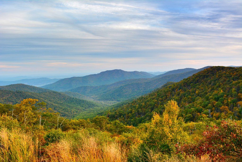
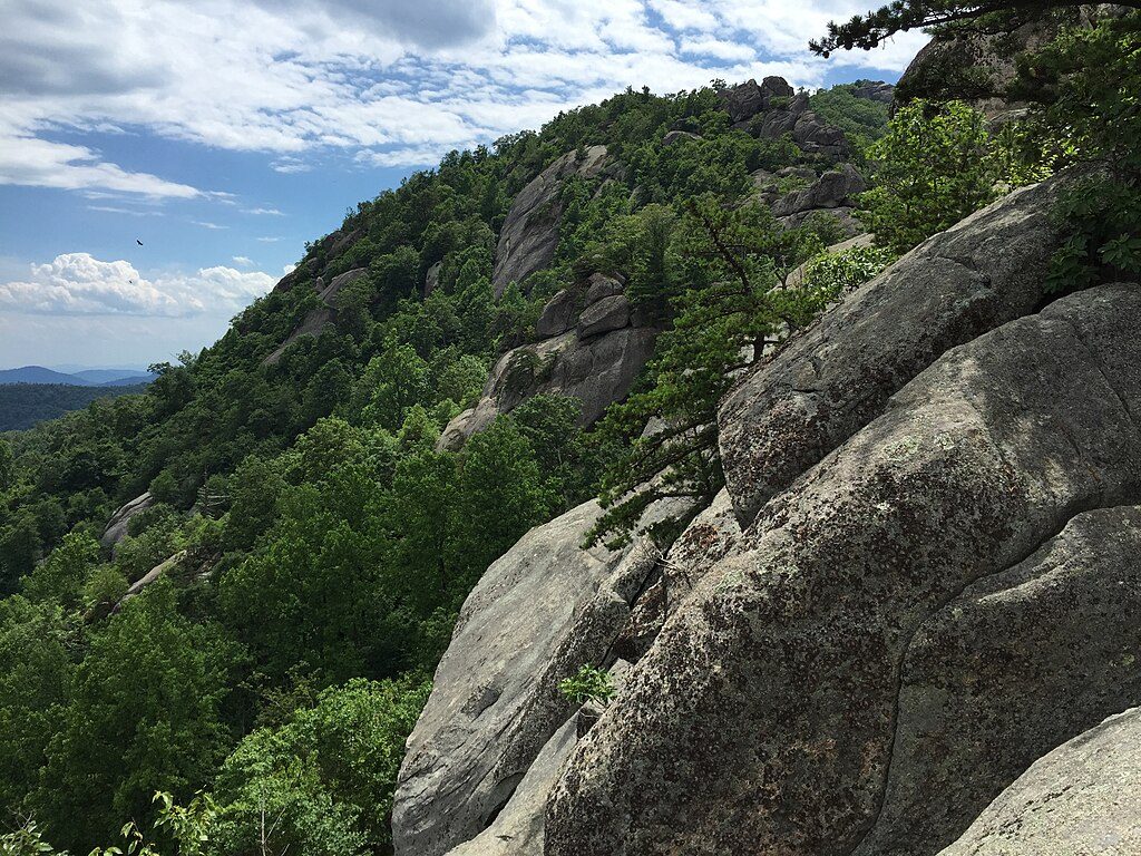
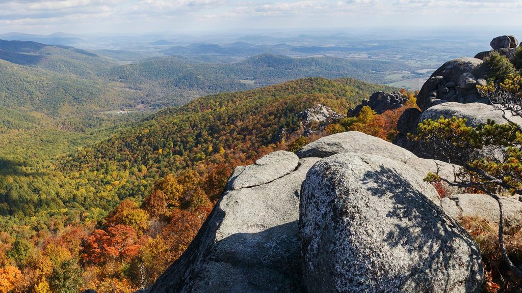
You’ll climb through dense hardwood forest with patches of mountain laurel, pass streams like Brokenback Run on footbridges, then pop onto rocky outcrops near the summit for sweeping vistas—Old Rag’s ridges to one side, interior Shenandoah folds and the Piedmont to the other. It’s generally quieter than Old Rag, especially early or on shoulder-season weekdays.
Spring and fall are prime—spring brings wildflowers and fresh green canopy; fall shows off peak foliage and crisp, clear views. Summer is hot and humid and the sun-exposed fire road can feel punishing; start early. Winter is doable but expect ice on bridges and rocks—traction helps.
Park at the Old Rag parking area; signage is generally good but fire road intersections can confuse—bring a map or GPS. Bring plenty of water (reliable sources are lower down; little near the summit). Sturdy footwear is a must for the steep ascent and rocky bits. Standard park entrance fees apply, but the Old Rag day-use ticket does not apply if you’re just hiking Robertson Mountain.
It’s a cardiovascular grind up and a knee-tester down. Bridges and rocks can ice over in winter. The shared parking area fills early on weekends thanks to Old Rag traffic—arrive early.
Old Rag parking area near Nethers (VA 600); start via Weakley Hollow Fire Road to reach the Robertson Mountain Trail.
Very steep climb (~1,700 ft in ~1.5 mi); winter ice on bridges and rocks; limited water near the summit; multiple fire road intersections—carry a map or GPS; summer heat and humidity are taxing.
Place · 2 mi away
Place · 3.3 mi away
Place · 3.7 mi away
Place · 4.1 mi away
Challenging · 0.3 mi away
Moderate · 0.3 mi away
Moderate · 0.3 mi away
Challenging · 0.4 mi away

Parkwolf Tour Guide
