

Place
Easy
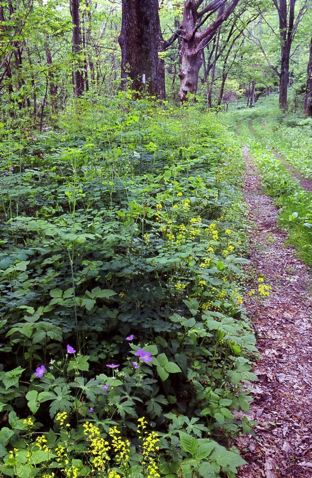
If you like quiet, shady miles beside a cold, clear mountain stream, this one’s your speed. The Lower Thornton River Trail follows the North Fork of the Thornton River on an old fire road—wider, gentler, and far less crowded than Skyline Drive hotspots. Expect more soothing water sounds than sweeping overlooks.
Most hikers do this as a short loop of about 2.7 miles total, typically linking the lower fire road section with nearby connectors (the junctions with Hull School Trail and the Upper Thornton River Trail are close at hand). Elevation change is modest (about 210 feet), and footing is mostly easy. Time it at roughly 1–1.5 hours depending on how long you linger at the water. You can also hike it point‑to‑point from the Hull School junction down to the park boundary at Thornton Hollow if you’ve set a shuttle.
The draw is streamside walking: shaded forest, the burble of the Thornton River, and small cascades after rain. The North Fork here is a native brook trout stream—watch the pools for flashes of fish in clear water. It’s a peaceful, lightly trafficked valley hike rather than a views-and-waterfalls showcase. You’re traveling through classic Blue Ridge geology and, in places, old roadbed used for historic fire management. In spring and early summer, expect wildflowers along the corridor.
Spring and early summer for cool temps, wildflowers, and lively flow. Fall brings colorful foliage and clearer sightlines. Winter is quiet and still, but expect icy or muddy patches. Light use means you’ll have solitude most days; aim for mornings for the softest light on the water.
Use the park boundary access at Thornton Hollow near Sperryville; verify approach and junctions on the NPS Thornton Gap area map. No restrooms or water.
Ticks in late spring–summer, occasional wet crossings or muddy spots after rain, active black bears, and no facilities at the trailhead.
Place

Place

Place
Place

Challenging

Challenging
Moderate
Challenging

Parkwolf Tour Guide
