
Place · 0.2 mi away
Moderate
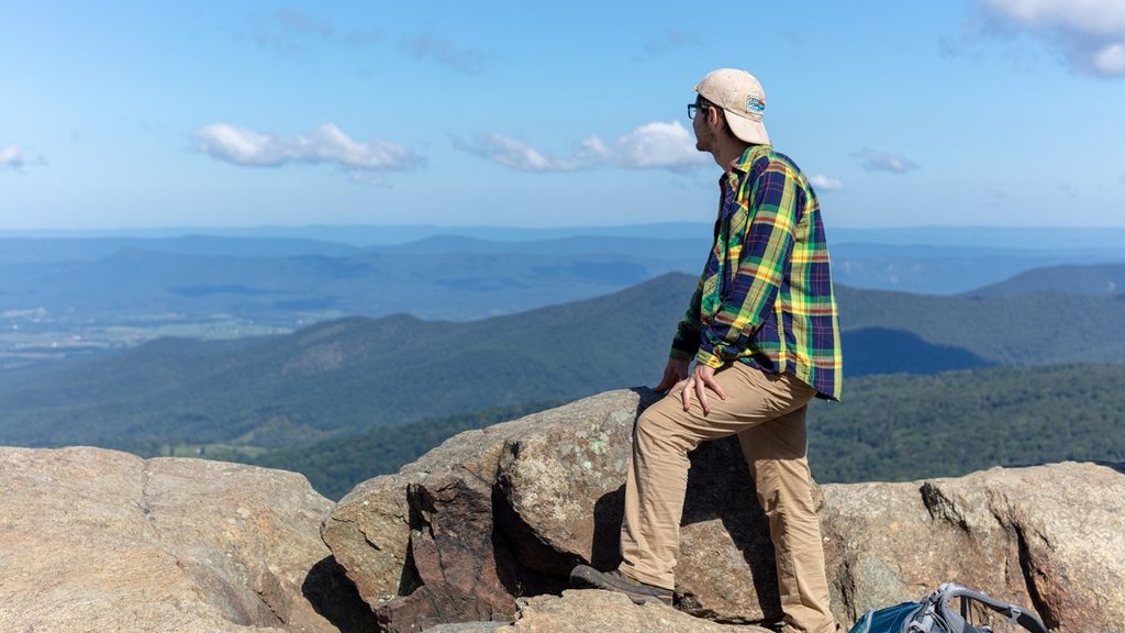
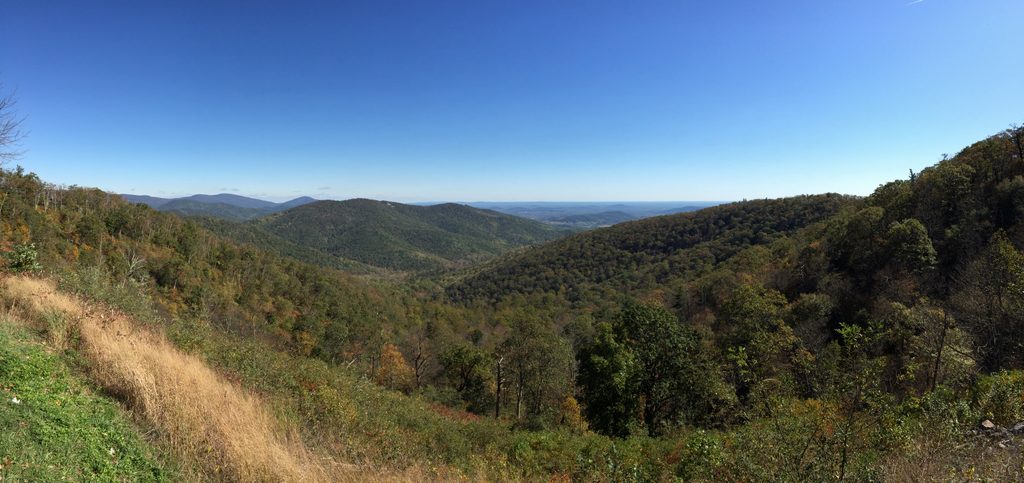
If you want a classic Blue Ridge summit without a complicated route, this is it. Marys Rock via Panorama is a 3.7‑mile round‑trip, out‑and‑back that gains about 1,200 feet—moderate on paper, but the steady grade will make you work. The payoff is a broad, rocky summit with wraparound views over the Shenandoah Valley, Massanutten Mountain, and the rolling Piedmont. It’s popular for good reason.
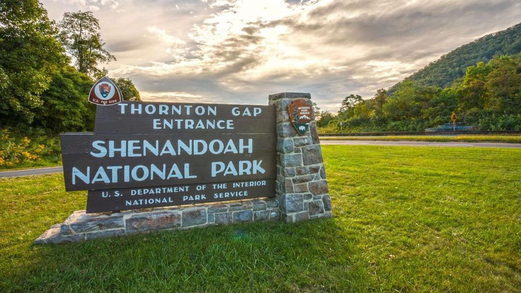
Start from the Panorama parking area by the Thornton Gap entrance. Restrooms and water fountains are at the lot—use them and fill bottles here, as there’s no water on the trail. From the back of the lot, follow the white‑blazed Appalachian Trail south. Wayfinding is simple and well signed. The path climbs consistently on packed dirt with rocky, uneven sections and occasional stone steps. After roughly 1.7 miles, take the short spur to the summit.
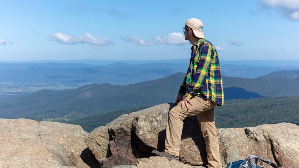
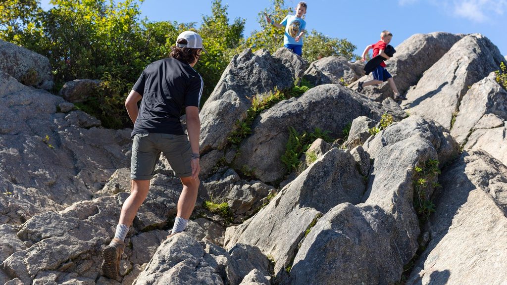
Marys Rock tops out around 3,514 feet with broad rock ledges that invite a sit‑and‑snack break. Expect big, 360‑degree views: patchwork fields in the valley, the Massanutten ridge to the west, and the Piedmont stretching east. The approach and summit rocks can be slick after rain or in winter; tread carefully. Some outcrop areas may be seasonally closed to protect fragile habitats—respect any postings.
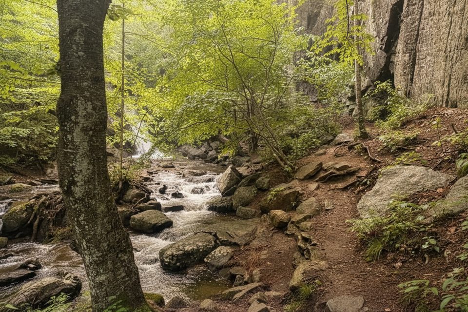
This stretch of the AT is classic Blue Ridge forest—lush and green in summer, with wildflowers in spring and fiery foliage in fall. Views peek through the trees more frequently as you gain elevation, then open wide near the top. It’s hiking‑only (no bikes or horses), not ADA accessible, and includes sustained, sometimes steep grades on rocky tread.
This is a well‑loved hike and draws crowds, especially on fall weekends. Start early or go on a weekday for a quieter summit. For cooler temperatures and softer light, morning is best. Clear winter days bring crisp, far‑reaching views, but expect icy patches.
Another commonly used option starts from the Meadow Spring parking area and connects to the AT before the summit. If you prefer the simplest, well‑signed approach with facilities at the trailhead, the Panorama start is the move.
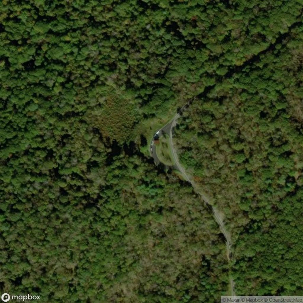
Park at the Panorama Parking Area at Thornton Gap on Skyline Drive (around milepost 31.6). Restrooms and water fountains are at the lot. The trail starts from the back of the parking area on the white‑blazed AT.
Expect a sustained, rocky climb; rocks are slick when wet or icy. Minor summit outcrop closures may occur to protect habitat. Not ADA accessible. Leash pets.
Place · 0.2 mi away
Place · 0.6 mi away
Place · 0.6 mi away
Place · 0.8 mi away
Moderate · 1.3 mi away
Moderate · 1.5 mi away

Moderate · 1.5 mi away
Moderate · 1.5 mi away

Parkwolf Tour Guide
