
Place · 0.4 mi away
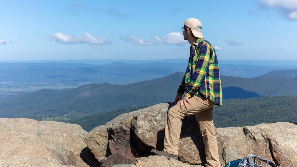
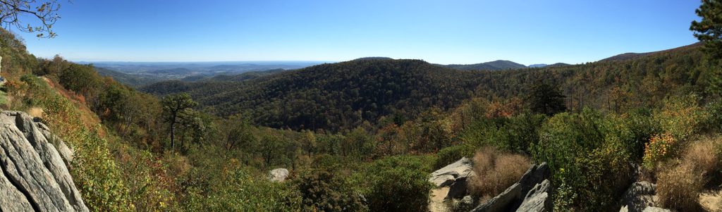
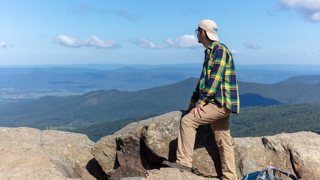
Mary's Rock is one of the park’s signature summits, topping out at 3,514 feet and ranked among the highest peaks here. Just south of Thornton Gap on Skyline Drive, it’s famous for a broad, rocky crown that delivers big, photogenic views over the Shenandoah Valley and Massanutten Mountain.
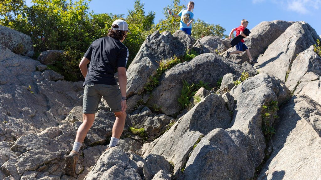
Both routes use the Appalachian Trail before a spur to the summit. Expect steady climbing, switchbacks, wooden steps in places, and some rocky footing.
The summit is a broad, exposed outcrop—perfect for sprawling out with a snack and soaking up the panorama. On clear days you can pick out Massanutten and, with some scanning, other notable Blue Ridge high points.
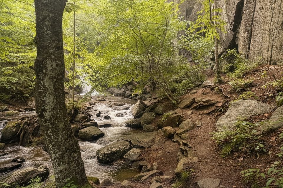
Keep an eye out for white‑tailed deer, squirrels, chipmunks, and a variety of birds. Black bears live here too, though encounters are uncommon. Along the way you’ll pass mountain laurel and mixed hardwood forest before popping onto the open rock.
There are no services at the summit. Bring plenty of water, snacks, and layers—the top can be breezy and exposed. Dogs are allowed on leash. Camping isn’t permitted at the summit, and you’ll need a park entrance pass to access the area via Skyline Drive. The National Park Service highlights Marys Rock as a featured hike, so expect company.
Mary’s Rock is part of the ancient Blue Ridge, its rugged summit formed of hard, weathered rock that resists erosion—hence the dramatic outcrops that make this such a stellar viewpoint.
Weekdays and early mornings are your friend—parking is limited and this hike is popular, especially during fall color. Clear, cool days offer the sharpest views; mid‑day heat can make the climb feel tougher.
The name has competing legends—one tells of a landowner showing Mary the breadth of land from this very perch—but whichever story you prefer, the Appalachian Trail’s passage here cements it as a classic Blue Ridge stop.
Place · 0.4 mi away
Place · 0.4 mi away
Place · 0.6 mi away
Place · 0.7 mi away
Moderate · 0.6 mi away
Moderate · 0.9 mi away

Moderate · 0.9 mi away
Moderate · 0.9 mi away

Parkwolf Tour Guide
