
Place · 0.4 mi away
Moderate
Start from the Meadow Spring Parking Area on Skyline Drive (around mile 33.5) and dive into a lesser‑traveled corner of the park. This is a true loop linking the Hazel Mountain Trail and White Rocks Trail, with options to weave in nearby connectors. Plan on roughly 8.4 miles total with about 2,200 feet of gain—moderate to moderately strenuous depending on your pace and water levels.
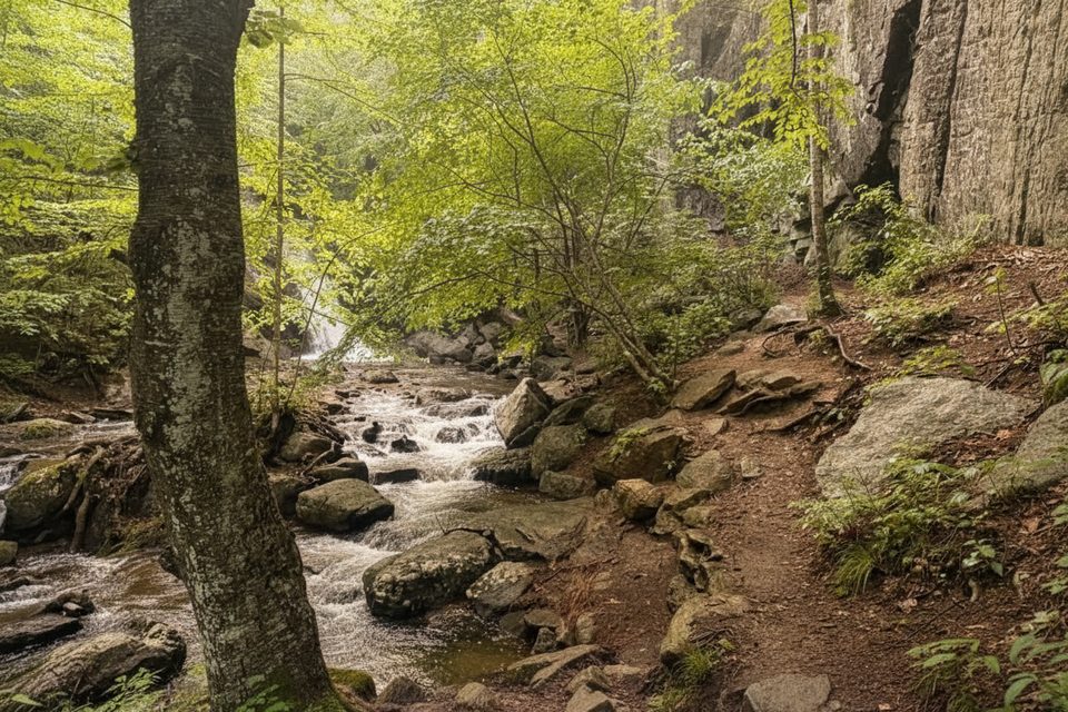
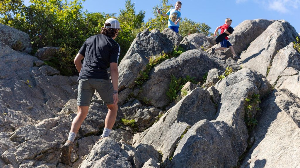
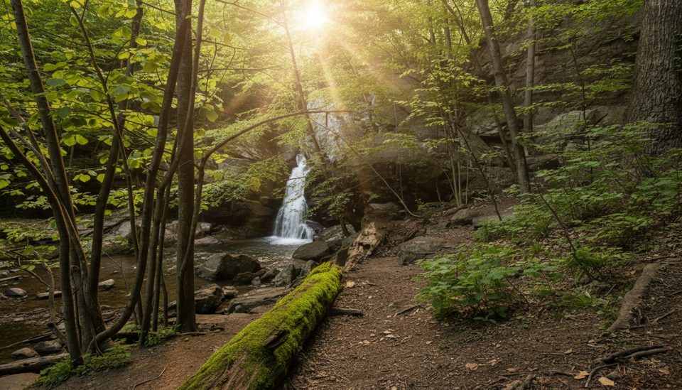
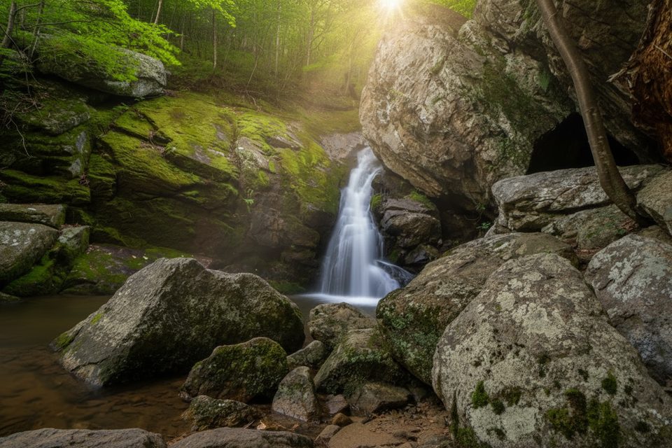
What you get here is variety: a forested ridge-and-hollow ramble, a streamside gorge, and rugged rock outcrops. The highlight for most hikers is the short spur to Hazel (Cave) Falls in the Hazel River gorge—expect a steep, slick final pitch down to the falls and two small caves tucked into the rock. You’ll also tackle at least one stream/river crossing on Hazel Mountain Trail; after heavy rain it can be a shoes‑off affair. White Rocks delivers quartzite outcrops with partial views—best when the leaves are down.
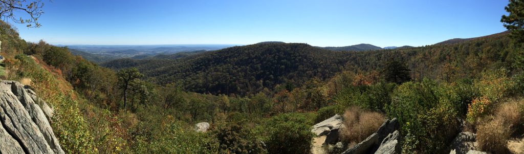
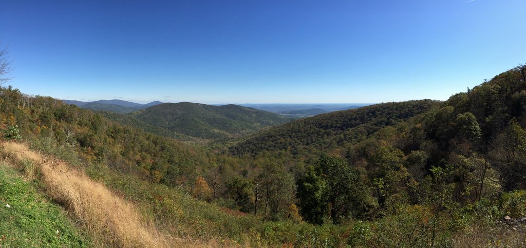
Terrain is classic Shenandoah singletrack: dirt, roots, and rocky bits, with some steeper grades near the falls. It feels pleasantly remote compared to Old Rag or Mary’s Rock, and you’re likely to find real pockets of solitude along the Hazel River corridor. If you’re chasing huge summit panoramas, this isn’t the star—those partial vistas are more seasonal—but the loop shines for its mix of water, geology, and quiet.
Naturalist notes: White Rocks is quartzite—ancient sandstone hardened and uplifted—forming tough, pale outcrops. The hollows here are moist microhabitats fed by the Hazel River and tributaries. Keep an eye out for deer, turkey, and black bear; along the streams, amphibians and brook trout are part of the scene.
Tips: Trekking poles help on the steep descent to the falls and at the stream crossing. Carry a map or GPS—the junctions are signed, but a couple of spurs can muddy the decision-making. Allow 4.5–6 hours total for the loop, more if you linger at the falls. The Meadow Spring lot is small and fills on weekends—arrive early.
Best time to hike: Spring brings wildflowers and lively cascades. Summer stays mostly shaded but water levels may drop. Fall offers peak foliage and crisp air. Winter rewards with the clearest views from White Rocks and fewer hikers—just watch for ice and slick rocks on the steep sections.
If big sweeping views are your priority, Mary’s Rock or Old Rag are better bets. If you want a quieter, well-rounded Shenandoah sampler—waterfall, caves, rocks, and solitude—this loop is a great call.
Park at Meadow Spring Parking Area on Skyline Drive (around mile 33.5). Spaces are limited; arrive early on weekends.
Expect at least one stream/river crossing, a very steep and slick descent near Hazel Falls, and potentially icy or muddy conditions in winter and early spring.
Place · 0.4 mi away
Place · 0.6 mi away
Place · 0.9 mi away
Place · 0.9 mi away
Moderate · 0 mi away
Moderate · 0 mi away
Moderate · 0 mi away
Challenging · 1.1 mi away

Parkwolf Tour Guide
