
Place · 0.4 mi away
Moderate
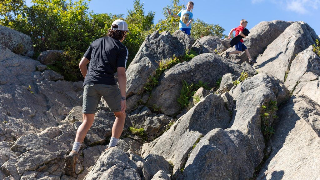
This is the quicker, steeper way to Marys Rock—and it delivers. At roughly 2.8 miles total (out-and-back) with about 1,200 feet of gain, you’ll earn a wide-open summit panorama without committing half your day. Expect a steady climb, a bit of rock-hopping up top, and one of the North District’s most satisfying viewpoints.
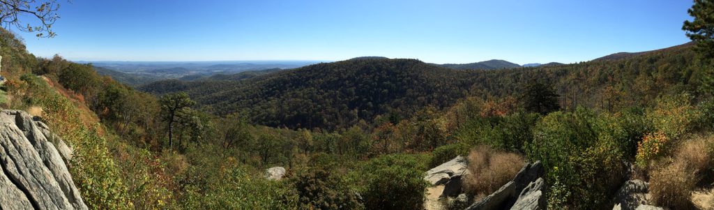
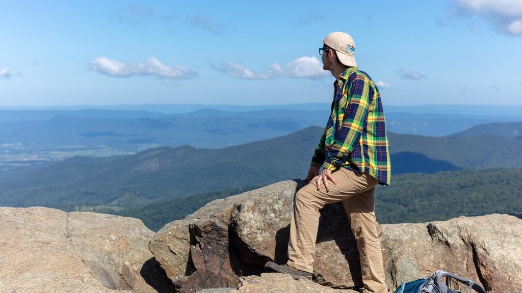
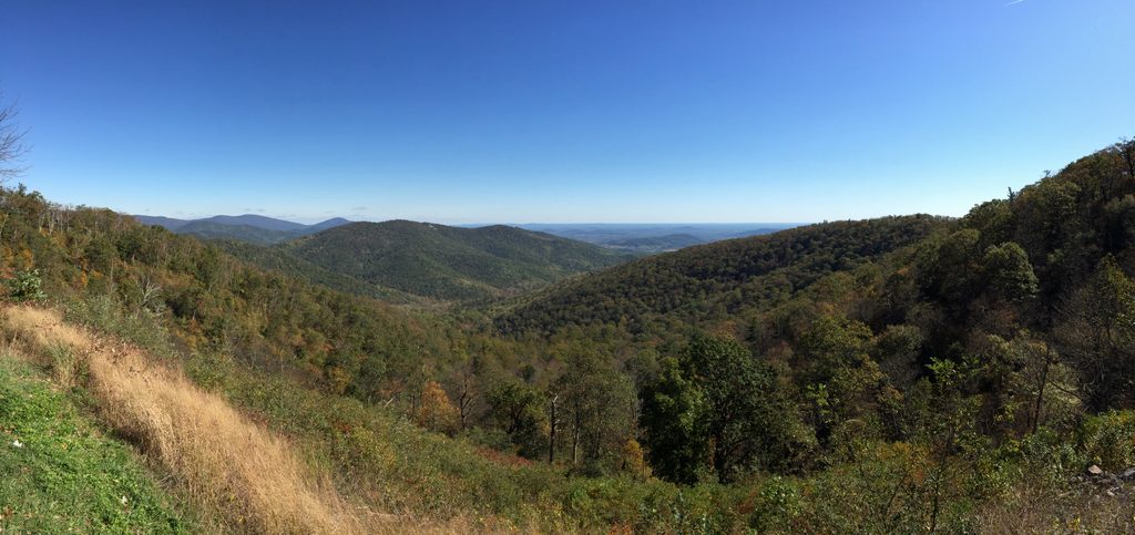
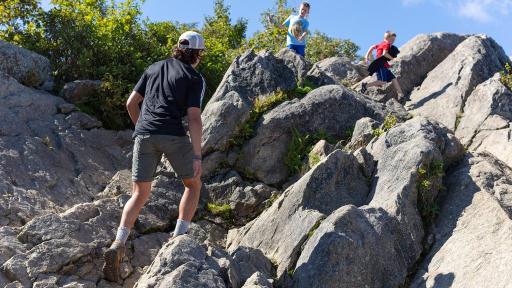
Start from the small Meadow Spring parking area on Skyline Drive (near MP 33.5). Cross the road to pick up the blue-blazed Meadow Spring Trail. You’ll climb immediately through hardwood forest—oak, hickory, maple—and pass a photogenic old stone chimney, a remnant of a mountain homestead. After about 0.6 miles, join the white-blazed Appalachian Trail and turn right (south). The final stretch grows rockier before you pop onto Marys Rock’s broad boulders—prime seats for a snack and long views across the Shenandoah Valley, Massanutten to the west, and the Piedmont to the east.
Trail surface is mostly dirt with rocks and roots; it’s well maintained but can be slick after rain or icy in winter. The summit is exposed to sun and wind. Keep an eye out for wildflowers like trillium in spring, lush green canopy in summer, and stand-out foliage in mid-October. Wildlife sightings skew to white-tailed deer, chipmunks, and plenty of songbirds; black bears live here but are rarely encountered on this busy route.
Why this route? It’s shorter and typically less crowded than the approach from Panorama/Thornton Gap, and it gives you a satisfying dose of the Appalachian Trail. The tradeoffs: a small trailhead lot and a stout, sustained climb. If you want a longer, more gradual ascent, consider the other Marys Rock approaches.
Best time to hike: April–November is the sweet spot. Spring brings flowers and cooler temps; fall foliage is spectacular with cooler air and clearer views. Summer is shaded but humid—start early. Winter can offer crystal-clear views, but Skyline Drive sometimes closes for snow/ice; check road status and bring traction if conditions are slick.
Tips: Arrive early (the lot holds roughly a handful of cars and fills fast), bring plenty of water (no sources on route), and wear sturdy shoes for the rocky bits. There are no restrooms at the trailhead; the nearest facilities are at Panorama (about 2 miles north by road). Dogs are allowed on leash. No bikes on this trail.
Meadow Spring Parking Area on Skyline Drive near milepost 33.5; cross Skyline Drive to start. Lot is small with no amenities.
Steep, rocky sections can be slick after rain or icy in winter; Skyline Drive may close for winter weather. Summit is exposed—sun and wind. No water on route.
Place · 0.4 mi away
Place · 0.6 mi away
Place · 0.9 mi away
Place · 0.9 mi away
Moderate · 0 mi away
Moderate · 0 mi away
Moderate · 0 mi away
Challenging · 1.1 mi away

Parkwolf Tour Guide
