
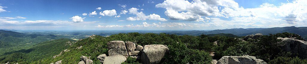
Place
Challenging
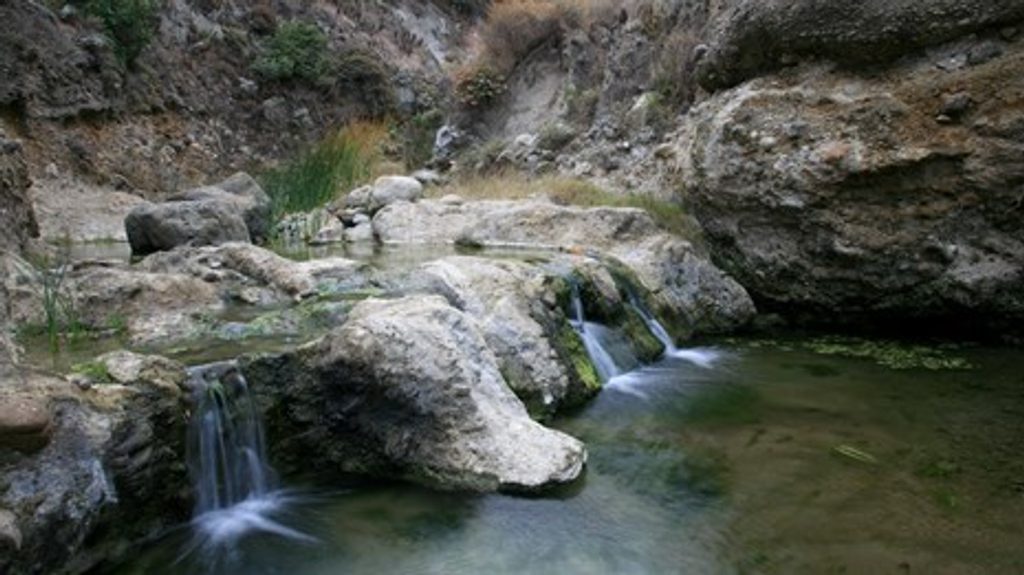
Looking for the park’s tallest waterfall and big mountain views without the circus of the Central District? This one delivers. Overall Run Falls drops 93 feet into a dramatic gorge, and the overlook near the falls is widely considered one of the park’s standout vistas. The catch: water flow is highly variable, so go after rain for full effect.
The most common route starts at Mathews Arm Campground’s registration parking (mile 22.1–22.2 on Skyline Drive). It’s about 5.1 miles total, out and back, with roughly 1,291 feet of elevation gain and a typical time of around 4 hours. You’ll begin gently through quiet woods, then descend steeply on the Tuscarora–Overall Run Trail toward the falls and overlook—remember, the climb back is the workout. If the campground is closed, you can access the trail from mile 21 via the Appalachian Trail, which adds about a mile total. Loop options exist by linking with other trails (like Beecher Ridge or Thompson Hollow) if you want a longer, harder day.
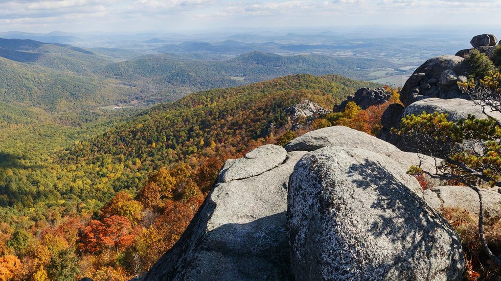
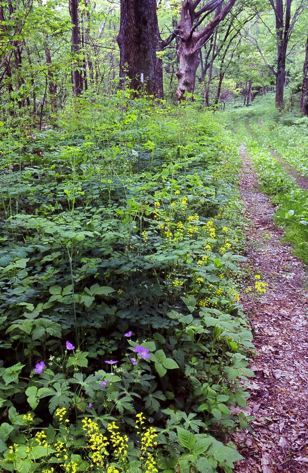
Expect a classic Shenandoah mix of dirt-and-rock singletrack beneath dense forest, with smaller cascades and lively stream scenes after wet weather. The falls can be a thin ribbon in dry spells, but the open overlook above the deep gorge still serves up sweeping views across the Shenandoah Valley. The gorge itself is the product of Overall Run cutting down through ancient Blue Ridge bedrock—steep slopes, dramatic drops, and big scenery.
Spring and the days following steady rain show the waterfall at its best. Summer brings lush shade and the chance for a cool-down near the stream, though the main falls may dwindle in drought. Fall foliage amplifies the views (and crowds) but often improves sightlines as leaves drop. Winter is quiet and can create photogenic ice around the falls—expect icy or muddy footing.
Yes—especially if you value grand overlooks as much as waterfalls. Even when the falls are low, the view alone justifies the effort. If you want a bigger challenge and more solitude, consider the longer loop options; otherwise, the out-and-back from Mathews Arm hits the highlights efficiently.
Park at the Mathews Arm Campground registration parking (Skyline Drive mile 22.1–22.2). If the campground is closed, use the access near mile 21 via the Appalachian Trail (adds about 1 mile total). Limited parking exists at Thompson Hollow for alternate loop routes.
Expect steep, slippery footing on the descent to the falls, especially after rain or in winter ice. Water levels vary widely, so plan for low flow in dry spells. Junctions can be confusing—carry a map/GPS. Keep dogs leashed (6 ft); rattlesnakes are possible in less-trafficked sections.
Place
Place
Place
Place
Challenging
Challenging
Moderate
Challenging

Parkwolf Tour Guide
