
Easy

Pocosin Trail

Shady fire road to Pocosin Mission ruins and a CCC-era cabin
Pocosin Trail, Shenandoah National Park
Distance2.2 mi
Typical time1.5 hr
DifficultyEasy
PetsAllowed

Why hike it

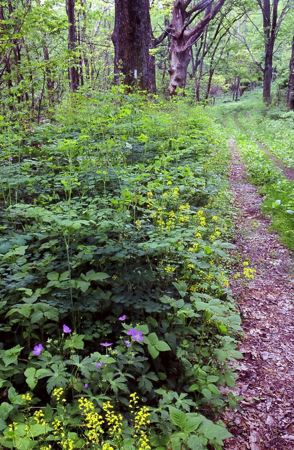
This is a low-key, history-forward walk through quiet woods. If you’re chasing big vistas, skip it. But if you like old stonework, a rustic CCC cabin, and a peaceful forested ramble with very little effort, Pocosin delivers.

Route overview

The hike is an out-and-back totaling about 2.2 miles, mostly on a wide gravel/dirt fire road with gentle grades (roughly 450 feet of elevation change). From the Skyline Drive pull-off (near mile 59.5), descend the Pocosin Fire Road. In about 0.2 miles you’ll pass the CCC-era Pocosin Cabin. Continue down to the junction and follow the spur to the Pocosin Mission ruins; return the way you came.

What you’ll see

  • Pocosin Cabin (circa 1937), built by the CCC and now maintained for rental by the Potomac Appalachian Trail Club; there’s often a breezy porch with a partial eastern peek if unoccupied.
  • The Upper Pocosin Mission site—stone foundations, steps, and a collapsed chimney—and an overgrown cemetery across the way. It’s a tangible slice of early 20th-century life in these mountains.
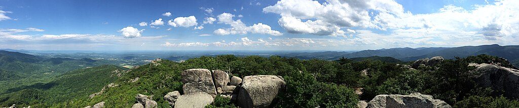
  • Forest the whole way: ferns, seasonal wildflowers, and typical Shenandoah wildlife (think deer and birds). Shade is excellent in summer. Views are limited—this hike is about ambience and history, not panoramas.

Best time to hike

Spring through fall is prime: wildflowers in spring, cooler air and color in fall, and summer shade that keeps things comfortable. Winter is doable but expect icy patches. Weekends see a small parking lot fill early; weekdays are wonderfully quiet.

Tips and comparisons

  • Keep kids and dogs close around the ruins; there can be old glass and rusted metal.
  • No facilities here—bring water and be self-sufficient.
  • Building a longer day or overnighter? From the mission area, you can return to the fire road and climb 1.1 miles to the Appalachian Trail, then link with Laurel Prong per an NPS-described itinerary.

Bottom line: Underrated if you value history and solitude; underwhelming if you want waterfalls or sweeping overlooks.

Pros

  • Historic mission ruins and small cemetery right at the turnaround
  • CCC-built Pocosin Cabin just 0.2 miles from the start
  • Usually quiet and shaded despite easy Skyline Drive access

Cons

  • Limited views along a forest corridor
  • Small gravel lot near MP 59.5 fills on weekends
  • Old debris at the ruins—mind kids and pets

Parking

Small gravel pull-off on the east side of Skyline Drive near mile 59.5; limited spaces.

Caution

No facilities; debris (glass/metal) around the mission ruins; occasional mud and potential winter ice; keep pets leashed.

The Parkwolf tour guide sitting on a phone mounted in a car

Parkwolf Tour Guide

Like a tour guide in your car.

Bring Shenandoah trail research into the car, with offline maps and stories that play as you drive.Download Parkwolf on the App Store