Laguna Azul in Torres del Paine National Park

Sight · Torres del Paine National Park

Laguna Azul

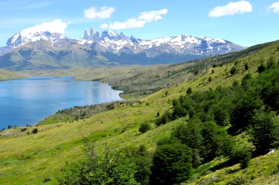
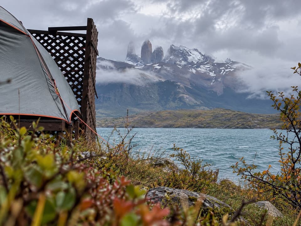
A quiet shore break with the Paine Towers across the lake.

Photo: Wikimedia Commons
Type
Sight
Nearest trail
0.1 km
Audio stories
2 nearby
  • Parking
  • Scenic viewpoint
  • Picnic tables

Hear the audio tour

Laguna Azul: A Lakeshore Pause

Overview

About Laguna Azul

Why stop

  • Wide view of the Paine Towers across the lake
  • Easy lakeshore picnic stop

Heads up

  • The Towers are a distant view from this side of the lake

Map

Where it is

Loading the Torres del Paine map
Full map
SightLaguna Azul-50.87300, -72.74007
Keep this map with you offline in the Parkwolf app

Plan your stop

Before you go

Check the access details

The lakeside picnic area is distinct from the separately bookable Camp Laguna Azul nearby; do not assume the campground's meals, showers, or toilets are available to day visitors. Current park-entry requirements for the Laguna Azul turnoff were not clear in the information available, so confirm the access rule before making a special trip.

2 active Torres del Paine alerts

  • ClosureInternal Y-150 road closedThe internal Y-150 road between Sarmiento and Laguna Los Cisnes is closed. - This is the internal road segment; CONAF lists the separate Y-150 access road to Sarmiento as open.Official details
  • CautionOne-way and guide-only trail restrictionsPlan around CONAF’s current one-way and guide-only trail restrictions.Official details
Torres del Paine alerts
A park ranger sits on a dash-mounted phone, talking, as Parkwolf’s Tour Guide plays “Army Cutworm Moths: A Grizzly Bear Buffet” on Grand Loop Road below Dunraven Pass in Yellowstone
Parkwolf Tour GuideThe highest, rockiest slopes around here are a summer buffet for grizzly bears.

Torres del Paine Tour Guide

Your drive to Laguna Azul, narrated.

Parkwolf is a GPS audio tour guide for Torres del Paine National Park. As you drive, it chimes in with what’s ahead: hidden gems, upcoming stops, history, geology, and wildlife, right through your car’s speakers.

See the Torres del Paine audio tour

Recorded for this place

Laguna Azul: A Lakeshore Pause
0:00 / 0:31
“Laguna Azul is coming up, a lakeside picnic stop with the Paine Towers across the water.”

Plays as you drive up to Laguna Azul in the Parkwolf Torres del Paine Tour Guide.

More stories near here in the app

  • Dixie's Essential Luggage
  • A Cushion with Its Own Climate
  • Hair Between the Armour
  • Cañadón Macho and Loma Guanaco
  • 81 audio storiesacross Torres del Paine’s roads, triggered by GPS as you drive
  • Wildlife heatmapsfor Puma, Andean Condor, Guanaco, and 13 more
  • Works offlinemaps, 35 trails, 56 places, and audio download before you lose signal
  • CarPlay readysimple controls built for the drive
★★★★★
“Fantastic app with many points of information… It’s great to just turn on while you’re driving and it gives you an audio tour of the national Park. We love it!!!!”
JMJamesApp Store review
Download Parkwolf on the App StoreGet Parkwolf on Google Play

4.7 from 8,600+ ratings

Guide

More about Laguna Azul

A lakeshore viewLaguna Azul is a picnic area and viewpoint on the pebbly shore in the eastern part of Torres…

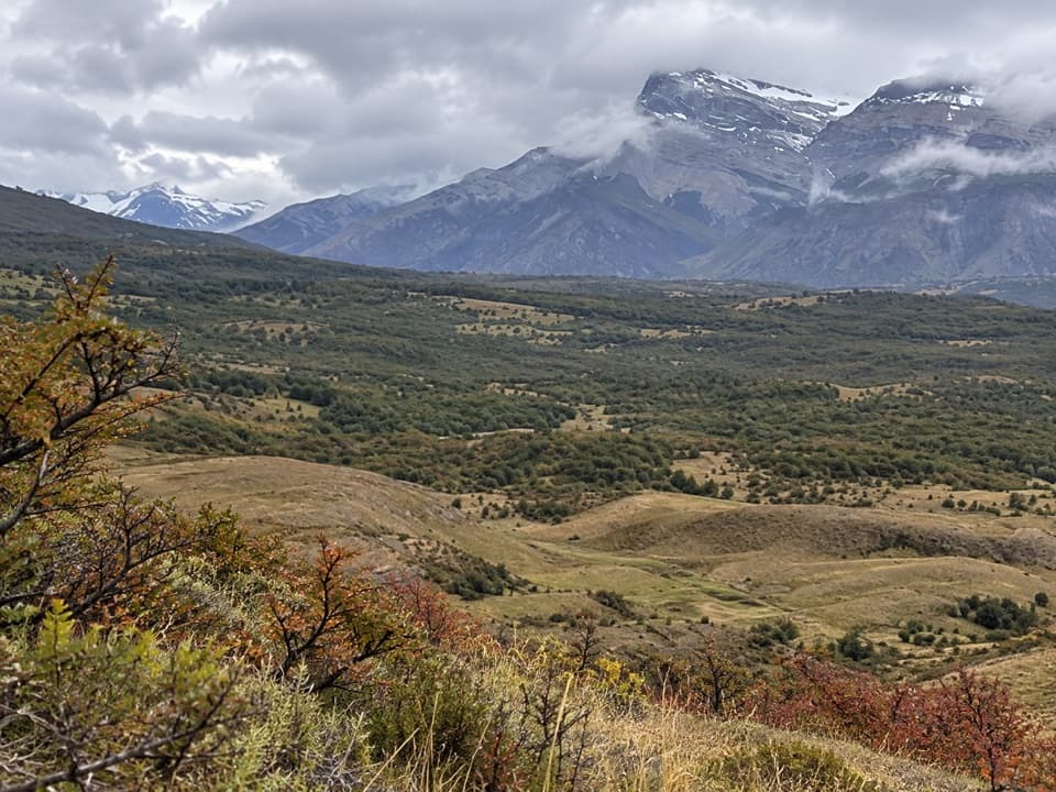
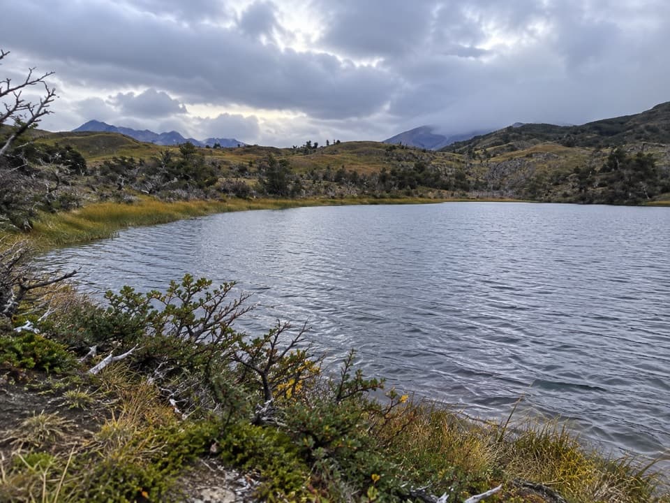
Laguna Azul is a picnic area and viewpoint on the pebbly shore in the eastern part of Torres del Paine. It is known for the long view across the water to the Paine Towers. Come for a slower stop: the viewpoint is beside parking, and a short walk brings you down to the lake.

Get down to the waterThe old wooden posts at the water's edge make a useful foreground for the distant towers.

The old wooden posts at the water's edge make a useful foreground for the distant towers. On a still day, you may also catch the mountains reflected in the lake. This is a wide, open view, so think of it as a panorama rather than a close look at the peaks.

Make it a longer walkA separate route from Laguna Azul toward Laguna Cebolla viewpoint is described as about 10 km…

A separate route from Laguna Azul toward Laguna Cebolla viewpoint is described as about 10 km round trip and roughly five hours. That is a proper walk, not just an extension of the short lakeshore stroll, so check the route and access before setting out.

Wildlife

Wildlife in Torres del Paine

All Torres del Paine wildlife maps

Sighting maps show where each species has been reported across Torres del Paine. Wildlife moves, so no sighting is guaranteed.

Parkwolf’s Torres del Paine ranking

Top sights in Torres del Paine

All 56 places
  1. 1Mirador Base TorresSight
  2. 2Salto Grande WaterfallSight
  3. 3Mirador CuernosSight
  4. 4Playa GreyBeach
  5. 5Mirador BritánicoSight
  6. 6Mirador Glaciar GreySight

Take Parkwolf to Torres del Paine.

The audio tour guide for the drive, plus offline maps, trails, and wildlife heatmaps for when the signal drops.

4.7 from 8,600+ ratings

Download Parkwolf on the App StoreGet Parkwolf on Google Play