Laguna Azul Shore Walk in Torres del Paine National Park

Torres del Paine National Park, MA

Laguna Azul Shore Walk

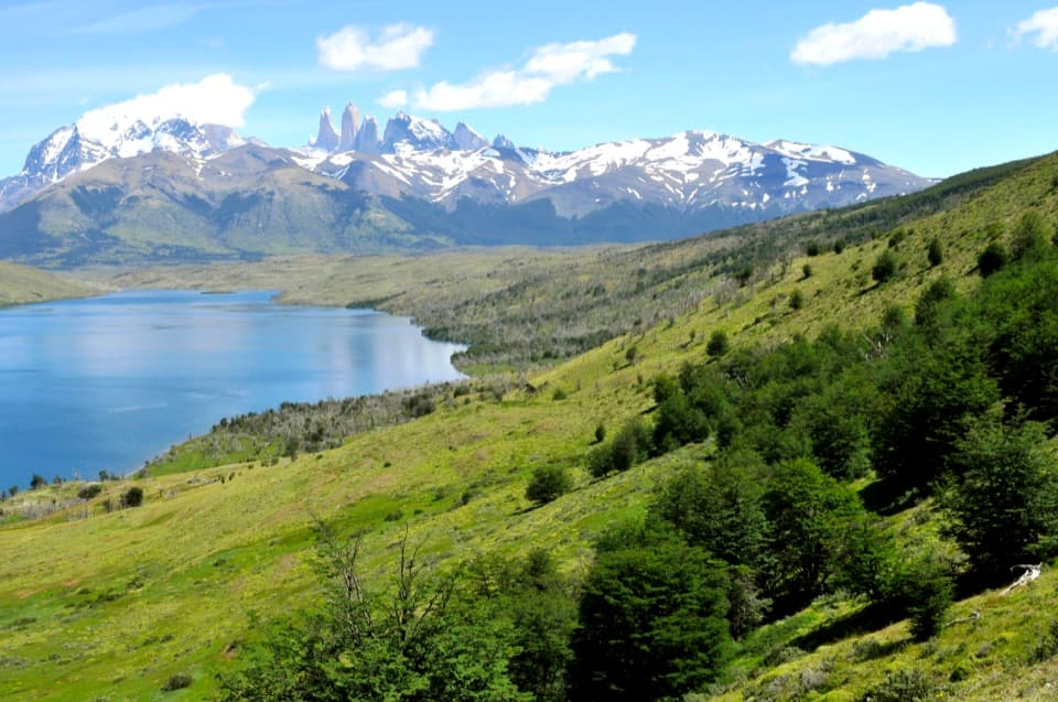
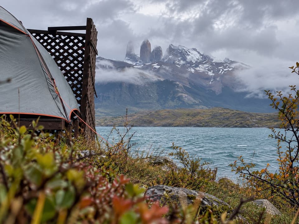
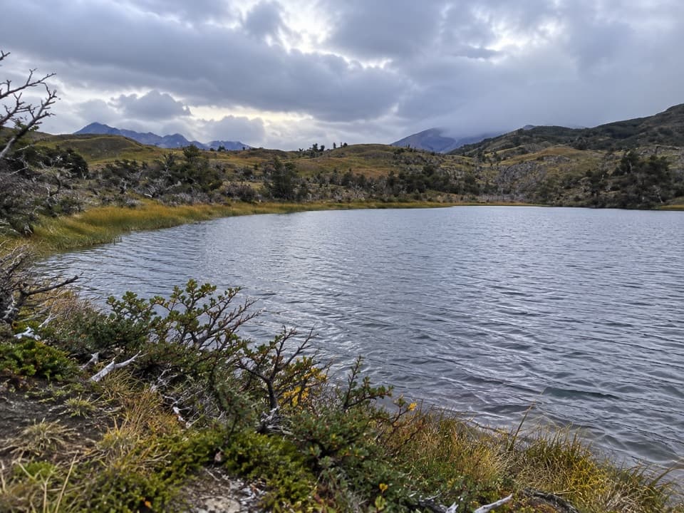
A relaxed lakeshore walk with the Paine Towers across blue water.

Photo: Wikimedia Commons
Length
4.4km
Time
1.8hr
Elev. change
26m
Difficulty
Easy
  • No dogs
  • High point 248 m

Hear the audio tour

Laguna Azul: A Lakeshore Pause

Overview

About Laguna Azul Shore Walk

Why go

  • The blue lake and the granite towers share the shoreline view.
  • An easy, low-gradient route for a short break from longer hikes.

Heads up

  • The Towers stay across the water; this is a panorama, not a close-up hike.

Map & elevation

The route

Loading the Torres del Paine map
Full map
Elevation222–248 m
TrailheadLaguna Azul Camping and Picnic Area-50.87290, -72.73894
Keep this map with you offline in the Parkwolf app

Plan your hike

Before you go

Parking

Use the Laguna Azul Camping and Picnic Area on the park’s northeastern road, Y-160. Park in the visitor area; the shore path begins just beyond it along an unpaved access track. Check with the Laguna Azul ranger about independent access before starting.

Safety

Park rules require visitors to stay on authorized marked trails and walk in daylight, and prohibit pets. Independent access to this short section is not clearly described; check with the Laguna Azul ranger before setting out.

2 active Torres del Paine alerts

  • ClosureInternal Y-150 road closedThe internal Y-150 road between Sarmiento and Laguna Los Cisnes is closed. - This is the internal road segment; CONAF lists the separate Y-150 access road to Sarmiento as open.Official details
  • CautionOne-way and guide-only trail restrictionsPlan around CONAF’s current one-way and guide-only trail restrictions.Official details
Torres del Paine alerts
A park ranger sits on a dash-mounted phone, talking, as Parkwolf’s Tour Guide plays “Army Cutworm Moths: A Grizzly Bear Buffet” on Grand Loop Road below Dunraven Pass in Yellowstone
Parkwolf Tour GuideThe highest, rockiest slopes around here are a summer buffet for grizzly bears.

Torres del Paine Tour Guide

Your drive to Laguna Azul Shore Walk, narrated.

Parkwolf is a GPS audio tour guide for Torres del Paine National Park. As you drive, it chimes in with what’s ahead: hidden gems, upcoming stops, history, geology, and wildlife, right through your car’s speakers.

See the Torres del Paine audio tour

Recorded for this trailhead

Laguna Azul: A Lakeshore Pause
0:00 / 0:31
“Laguna Azul is coming up, a lakeside picnic stop with the Paine Towers across the water.”

Plays as you drive up to this trailhead in the Parkwolf Torres del Paine Tour Guide.

More stories near here in the app

  • Dixie's Essential Luggage
  • A Cushion with Its Own Climate
  • Hair Between the Armour
  • Cañadón Macho and Loma Guanaco
  • 81 audio storiesacross Torres del Paine’s roads, triggered by GPS as you drive
  • Wildlife heatmapsfor Puma, Andean Condor, Guanaco, and 13 more
  • Works offlinemaps, 35 trails, 56 places, and audio download before you lose signal
  • CarPlay readysimple controls built for the drive
★★★★★
“Fantastic app with many points of information… It’s great to just turn on while you’re driving and it gives you an audio tour of the national Park. We love it!!!!”
JMJamesApp Store review
Download Parkwolf on the App StoreGet Parkwolf on Google Play

4.7 from 8,600+ ratings

Trail guide

Hiking Laguna Azul Shore Walk

An easy walk by the waterThe Laguna Azul Shore Walk is an easy 2.8-mile (4.

The Laguna Azul Shore Walk is an easy 2.8-mile (4.4 km) out-and-back from the Laguna Azul Camping and Picnic Area, along the north shore toward the Paine Massif. It starts on a short access track, then follows a marked walking path near the water with only small rises. Allow about 1.5 to 2 hours with time to stop. The draw is the blue lake with the Three Towers across it, a quiet waterside view instead of a steep climb.

Where the short version turns backStart just beyond the camping and picnic area and follow the marked shore route.

Start just beyond the camping and picnic area and follow the marked shore route. This shorter walk turns around at the first junction on the north shore, where the trail continues toward Laguna Cebolla. Some descriptions give the shoreline walk a variable distance and put a wooden information sign at its end, but that sign is not located on the park map. The 2.8-mile figure here covers the mapped access and shore section there and back; continuing beyond the junction adds distance and becomes a different outing. The Sierra Masle climb is separate.

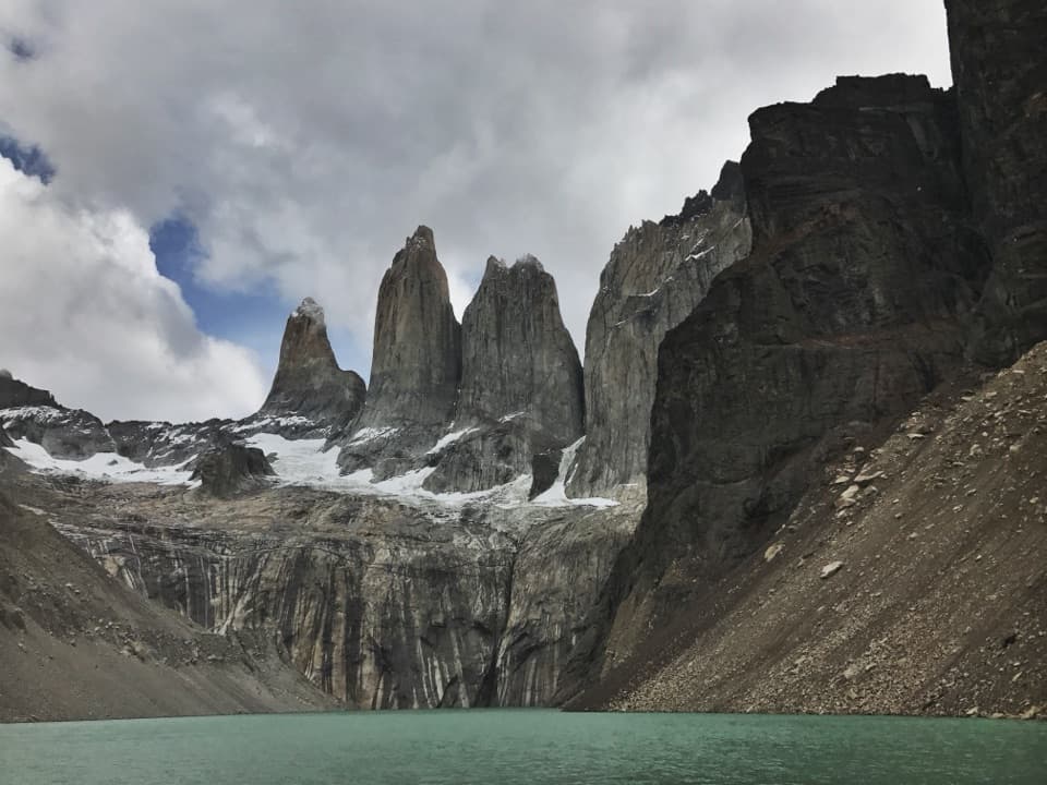
The view and the nameFrom the open shore, the granite Three Towers sit beyond the lake.

From the open shore, the granite Three Towers sit beyond the lake. Florence Dixie called them “Cleopatra’s Needles” in her 1880 account of the area; today the towers give Torres del Paine its familiar name. If the water is calm, include the near shore and a strip of water in your photo so you can catch the reflection.

Access and park rulesThe park map marks a walking route along the shore, but independent access arrangements for…

The park map marks a walking route along the shore, but independent access arrangements for this short section are not clearly described. Check with the Laguna Azul ranger before setting out. Stay on authorized marked trails and walk in daylight; pets are not allowed in the park.

Wildlife

Wildlife in Torres del Paine

All Torres del Paine wildlife maps

Sighting maps show where each species has been reported across Torres del Paine. Wildlife moves, so no sighting is guaranteed.

Keep exploring

Near Laguna Azul Shore Walk

See it all on the map

Trails that start nearby

Places near the trailhead

Parkwolf’s Torres del Paine ranking

Top-rated trails in Torres del Paine

All 35 trails
  1. 1Base Las Torres TrailChallenging · 20.1 km
  2. 2W Trek (Circuito W)Challenging · 75.7 km
  3. 3O Circuit (Circuito Macizo Paine)Challenging · 93 km
  4. 4Mirador Británico TrailChallenging · 10.8 km
  5. 5Valle del FrancésChallenging · 20 km
  6. 6Paine Grande to Refugio Grey TrailModerate · 11 km

Take Parkwolf to Torres del Paine.

The audio tour guide for the drive, plus offline maps, trails, and wildlife heatmaps for when the signal drops.

4.7 from 8,600+ ratings

Download Parkwolf on the App StoreGet Parkwolf on Google Play