Parking
Start at the Laguna Azul campsite access on the lake’s northeastern side. Park by the campsite, walk to the bathrooms, then take the uphill path to the right.
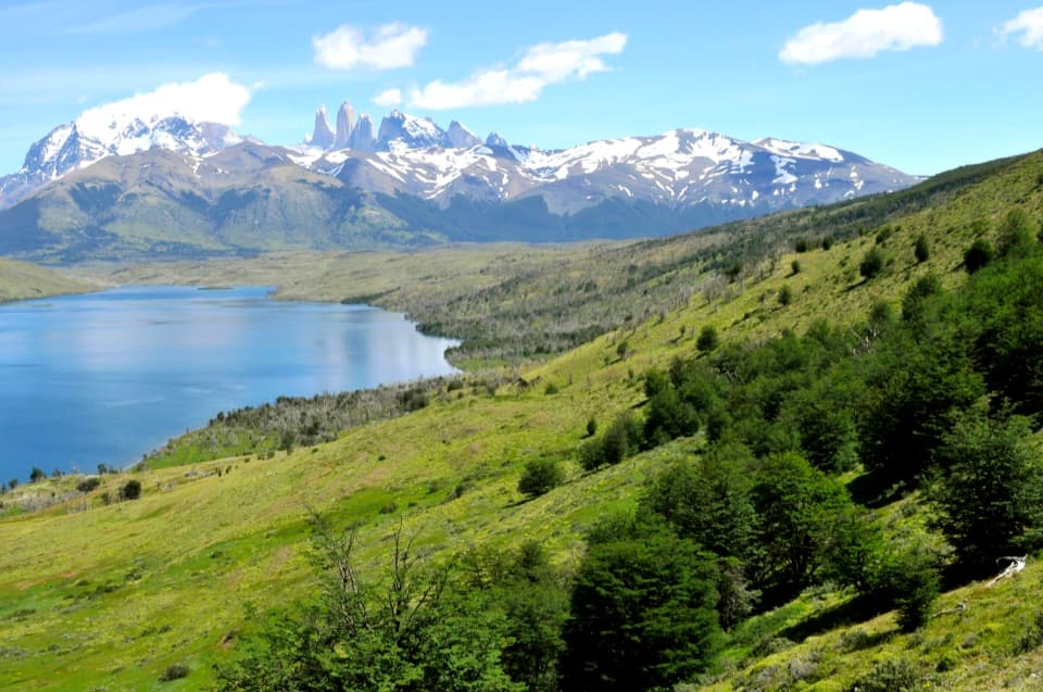
Torres del Paine National Park, MA
A short climb for Laguna Azul and the Towers from above.
Overview
Map & elevation
Plan your hike

The highest, rockiest slopes around here are a summer buffet for grizzly bears.
Torres del Paine Tour Guide
Parkwolf is a GPS audio tour guide for Torres del Paine National Park. As you drive, it chimes in with what’s ahead: hidden gems, upcoming stops, history, geology, and wildlife, right through your car’s speakers.
See the Torres del Paine audio tourRecorded for this trailhead
Laguna Azul: A Lakeshore Pause“Laguna Azul is coming up, a lakeside picnic stop with the Paine Towers across the water.”
Plays as you drive up to this trailhead in the Parkwolf Torres del Paine Tour Guide.
More stories near here in the app
“Fantastic app with many points of information… It’s great to just turn on while you’re driving and it gives you an audio tour of the national Park. We love it!!!!”


Trail guide
Mirador Sierra Masle is a short out-and-back from the Laguna Azul campsite access to a rocky viewpoint on Cordón Masle. The mapped route is about 2.8 km (1.7 miles) round trip, with roughly 160–175 m of climbing; allow about one to one-and-a-half hours. It’s an easy choice if you want a high view of bright Laguna Azul and the Paine Towers without taking on a full-day hike. This is the hill route, not the easy walk along the shore.
From the campsite access, walk to the bathrooms and take the path that climbs north. It rises steadily through trees, then bends west along the hillside. The practical turnaround is an open rocky outlook above the lake, just before the track starts to curve down the far side. The view is the reason to come: blue water below, lenga-covered slopes around it and the granite towers across the lake. Keep some of the hillside and water in your photo so the towers have a sense of scale.
This entry maps the short climb to the viewpoint and back on the same path. Other descriptions give a roughly 4 km circuit or a 10 km return route from the Laguna Azul sector; they don’t line up with this short turnaround, and the exact longer variants aren’t clear. Check the route signs at the campsite if you intend to continue around the lake. The overlook is a rocky opening rather than a clearly defined platform, so turn around before the path begins descending if you want the shorter version. Pets aren’t allowed in the park.
Wildlife
 113 sightingsPumaMost seen around 7 PMSighting map
 146 sightingsAndean CondorMost seen around noonSighting map
 381 sightingsGuanacoMost seen around 7 AMSighting map
 53 sightingsHuemulMost seen around 7 AMSighting map
 36 sightingsLesser RheaMost seen around 6 PMSighting map
 11 sightingsWild HorseMost seen around 7 AMSighting map
Sighting maps show where each species has been reported across Torres del Paine. Wildlife moves, so no sighting is guaranteed.
Keep exploring
 EasyLaguna Azul Shore Walk4.4 km · 1.8 hr · At the trailheadA relaxed lakeshore walk with the Paine Towers across blue water.
 ModerateLaguna Azul–Laguna Cebolla Trail21.4 km · 6.5 hr · 0.8 km awayA quieter eastern view of the Torres across open steppe.
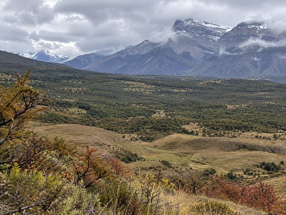 ModerateCañadón Macho–Loma Guanaco Trail7.1 km · 2.7 hr · 6.4 km awayLenga woods, open grassland, and a different view toward the Paine towers.
 ModerateLaguna Inge Trail9.2 km · 2.3 hr · 13.4 km awayA short W route to a small lagoon and a Nordenskjöld view.
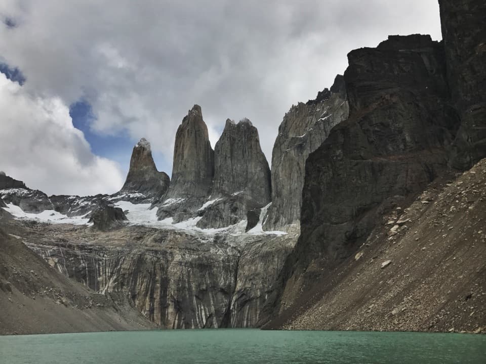 ChallengingBase Las Torres Trail20.1 km · 8 hr · 13.5 km awayA full-day climb to the lagoon beneath three granite towers.
 ChallengingO Circuit (Circuito Macizo Paine)93 km · 1.8 days · 14.1 km awayEight-day Paine massif loop over John Gardner Pass to Grey Glacier.
 ChallengingW Trek (Circuito W)75.7 km · 1.3 days · 14.7 km awayThe Towers, French Valley and Grey Glacier, linked on foot.
 ChallengingCerro Paine Trail13.1 km · 9 hr · 14.7 km awayA steep lenga climb to Cerro Paine’s 1,508 m summitSight · 0.1 km awayLaguna AzulA quiet shore break with the Paine Towers across the lake.
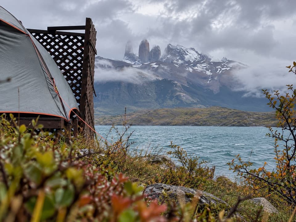 Campground · 0.1 km awayCamp Laguna AzulA quiet lakeside camp with Torres views, away from the main trailheads.
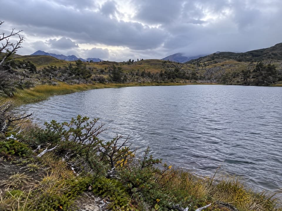 Sight · 8.1 km awayMirador Laguna CebollaA long walk for a fresh Torres view over dark lagoon water.
 Sight · 8.7 km awayPaine WaterfallWaterfall tiers and the Paine towers share the frame.
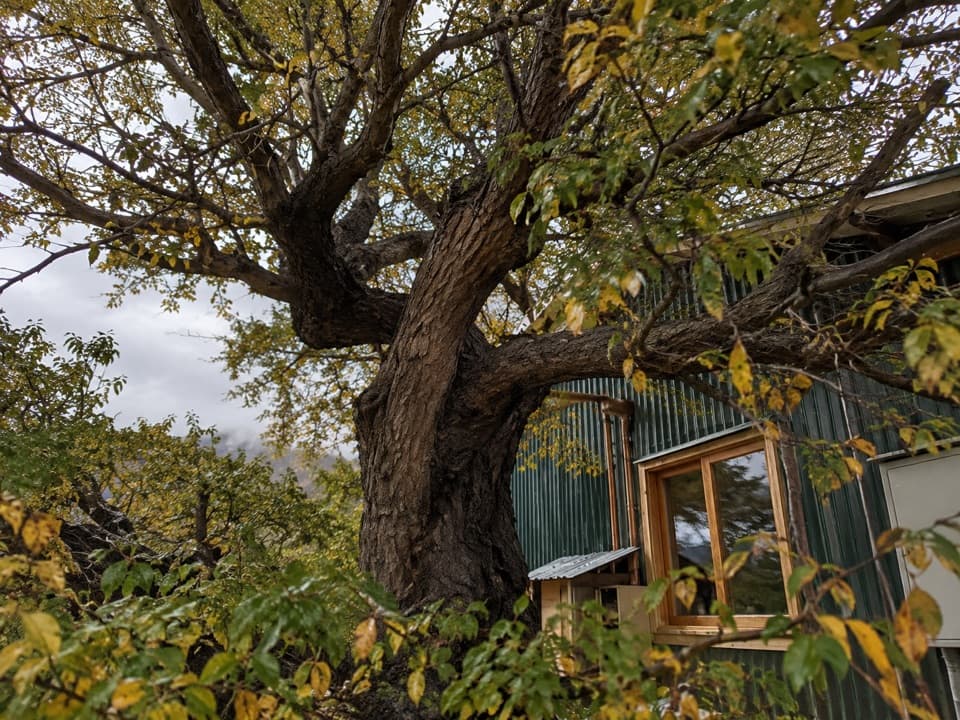 Campground · 10.8 km awayCamping SerónA remote O Circuit night stop, with hot showers at day’s end.
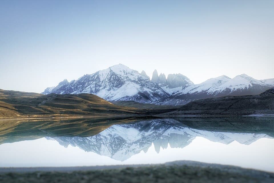 Sight · 11.7 km awayMirador Laguna AmargaLook for the Torres doubled in a calm, clear lagoon.
 Entrance station · 12.7 km awayPortería Laguna AmargaThe practical eastern checkpoint before the park drive begins.
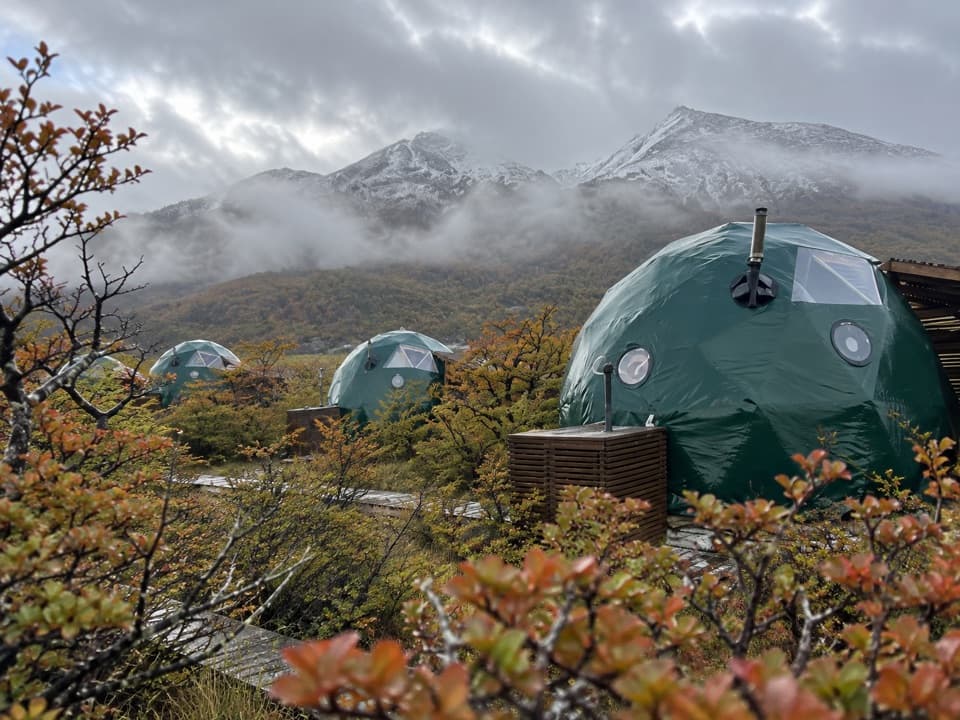 Lodging · 13.4 km awayEcoCamp PatagoniaA dome stay with views of the Paine Towers.
Parkwolf’s Torres del Paine ranking

The audio tour guide for the drive, plus offline maps, trails, and wildlife heatmaps for when the signal drops.