
Place · 0.9 mi away
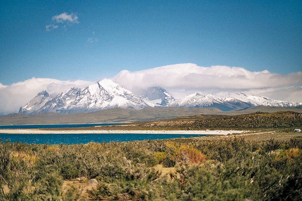
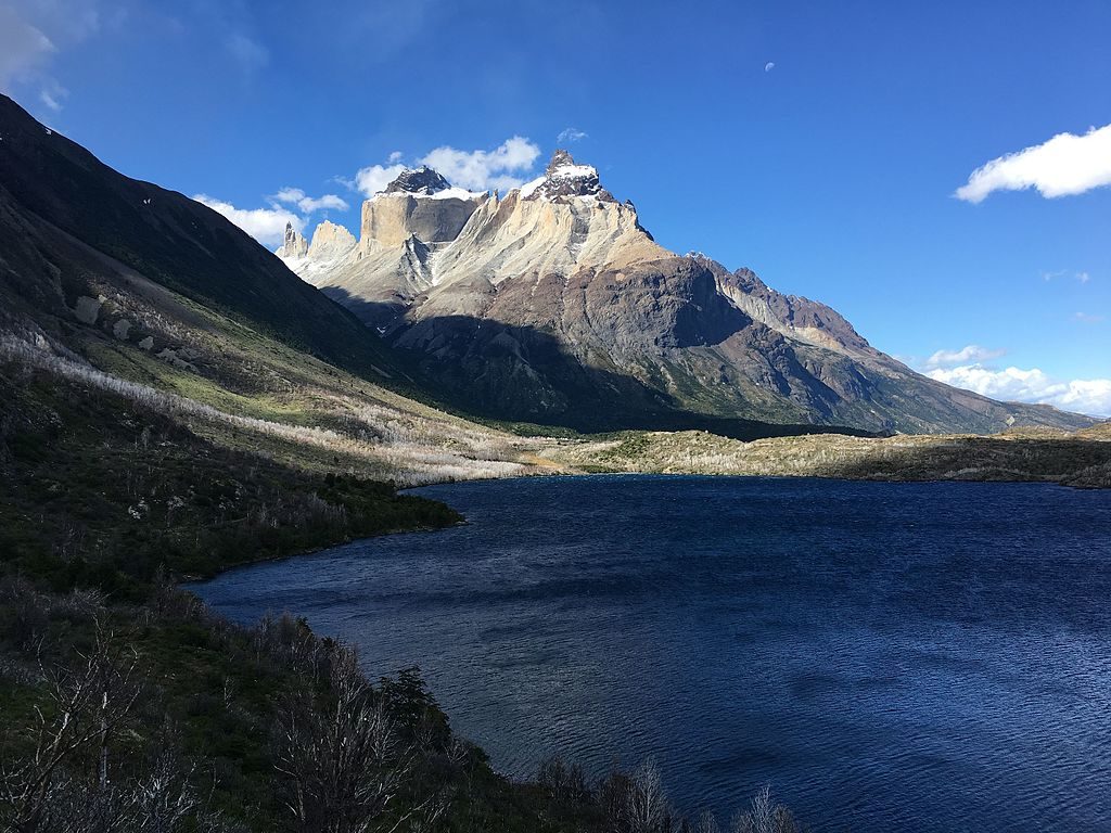
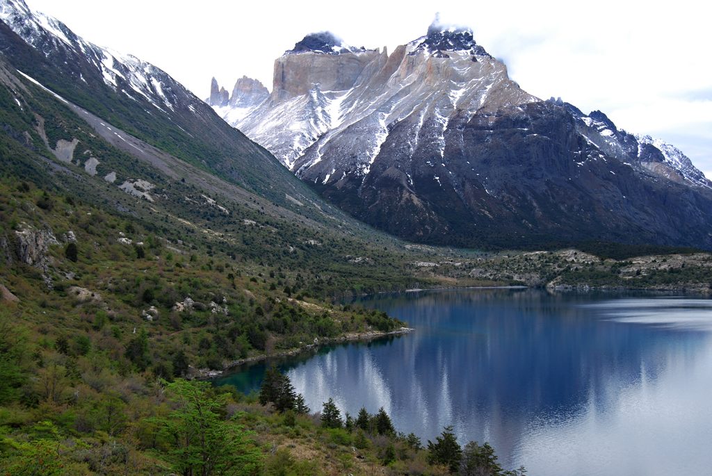
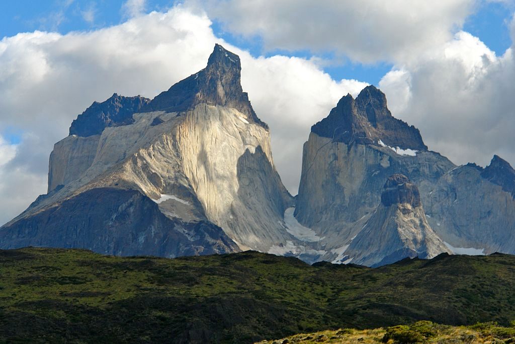
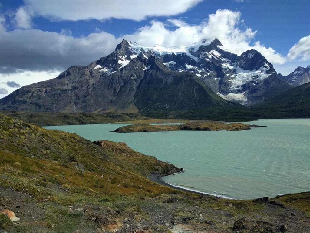
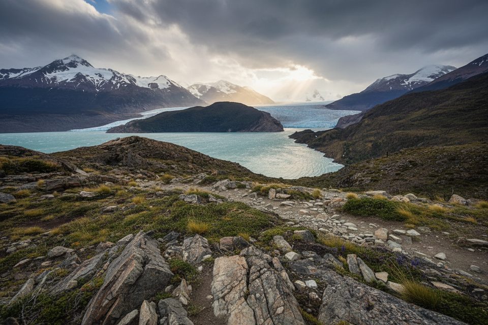
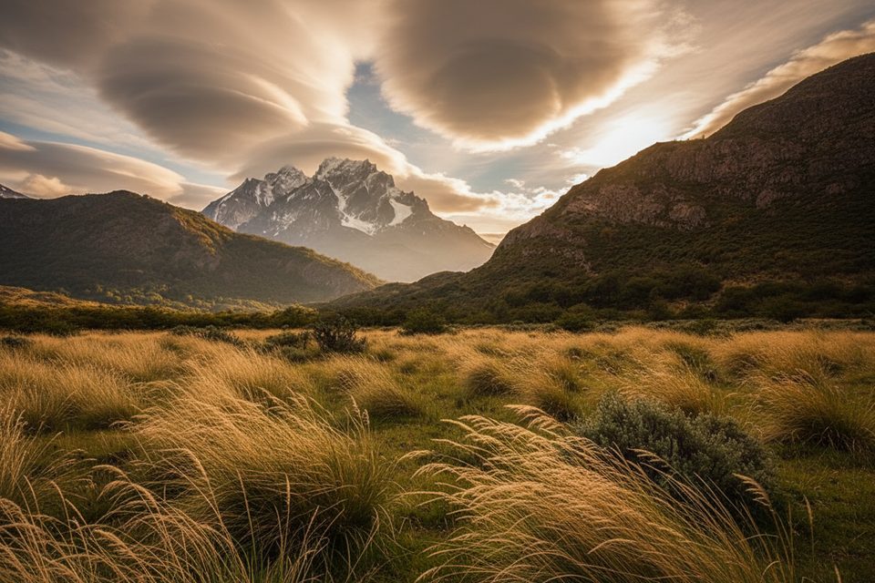
The Paine Massif is the park’s unmistakable centerpiece: a compact mountain group of jagged granite needles framed by turquoise lakes and active glaciers. It includes the three Torres (towers), the horn‑shaped Cuernos, and Paine Grande—the massif’s highest summit. The name “Paine” means “blue,” a nod to the rock’s distant hue. The area is part of a UNESCO Biosphere Reserve (designated in 1978), and it’s the reason most travelers come here.
You’re seeing light‑colored Miocene granite intruded into much older dark marine sediments. Repeated glaciations carved the steep walls and plucked the rock into towers and horns, while the bold light‑on‑dark color contrast is especially obvious on the Cuernos.
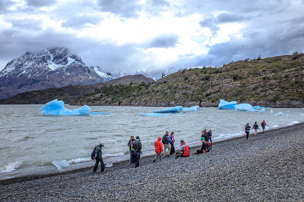
Road‑accessible hubs (Laguna Amarga, Río Serrano, Sarmiento, Pudeto/Pehoé, Lago Grey, Administration/Villa Monzino, Laguna Azul) serve as gateways to the W and O circuits. Regular buses from Puerto Natales typically run to Laguna Amarga – Pudeto – Administration (notably around 07:30 and 14:30), and lake boats operate on Pehoé and Grey, making point‑to‑point hiking straightforward without a car. Lots can fill during the December–March rush.
Mountain accommodations cluster along the circuits: refugios (with dining halls, stores, electricity, and often warm showers) and designated campgrounds (toilets, potable water, and indoor cooking shelters). All overnights must be booked in advance through the two operators (Las Torres and Vértice Patagonia). Expect high prices for meals and snacks inside the park, and remember that cooking is allowed only in designated kitchen areas. In the high mountain zones, facilities are basic; use trailhead toilets before you set out. Potable, chlorinated water is available at Pudeto and Lago Grey; elsewhere, treat water. Connectivity is limited; charging is generally possible at refugios.
Weather changes fast—strong winds, rain, and near‑freezing temperatures are possible even in March. Winter often brings ice and snow (chains/studded tires may be necessary). Rangers strictly enforce rules: hike in daylight, stay on signed trails, camp only in designated sites, no fires or drones, and pack out your trash.
Summer (December–March) brings more services and transport—but also the biggest crowds, especially on the W. If you’re aiming for classic views with fewer people, consider routing into the quieter northern section of the O. Whatever your plan, secure overnight reservations well in advance, use buses and lake boats to simplify logistics, and start from major hubs like Pudeto or Lago Grey to leverage facilities and water.
Place · 0.9 mi away
Place · 0.9 mi away
Place · 1.6 mi away
Place · 1.6 mi away
Challenging · 2.5 mi away
Moderate · 6.2 mi away
Easy · 6.2 mi away
Moderate · 6.2 mi away

Parkwolf Tour Guide
