Facilities
Public toilets are available at the gate. If you need a meal, check ahead rather than assuming there’s a café at the checkpoint; the restaurant at nearby Camping Serrano is a separate stop.

Entrance station · Torres del Paine National Park
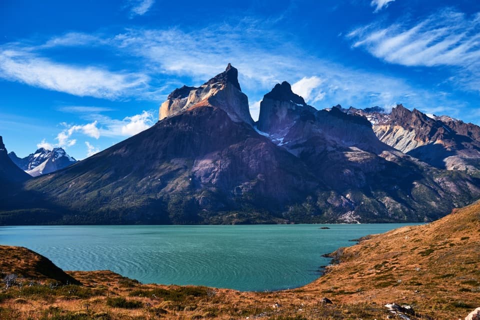
Southern entry checkpoint with CONAF rangers and a broad Paine backdrop.
Overview
Map
Plan your stop

The highest, rockiest slopes around here are a summer buffet for grizzly bears.
Torres del Paine Tour Guide
Parkwolf is a GPS audio tour guide for Torres del Paine National Park. As you drive, it chimes in with what’s ahead: hidden gems, upcoming stops, history, geology, and wildlife, right through your car’s speakers.
See the Torres del Paine audio tourRecorded for this place
Portería Serrano: The Southern Gate“Portería Serrano is ahead, the southern entrance checkpoint on the road from Puerto Natales. If you're entering the park here, have your entry pass handy.”
Plays as you drive up to Portería Serrano in the Parkwolf Torres del Paine Tour Guide.
More stories near here in the app
“Fantastic app with many points of information… It’s great to just turn on while you’re driving and it gives you an audio tour of the national Park. We love it!!!!”


Guide
Portería Serrano is the park’s southern entrance checkpoint and CONAF ranger post on Y-290, the road from Puerto Natales. It’s a useful arrival stop, but not the full visitor information center; the Environmental Information Center is at the park’s administration headquarters elsewhere. Have your park entry pass handy for the gate check.
Y-290, also called Lago Porteño, runs about 80 km from Puerto Natales directly to the gate. Fill up before leaving town; there are no fuel stations in or around the park. Winter can bring frost and ice on park roads; CONAF recommends studded tires, and chains for heavy trucks.
The entrance approach gives a broad view of the Paine massif, with the bridge and gate buildings in the foreground. The stop’s main job is entry control, so come here for access and the first look at the park rather than a full itinerary briefing.
Wildlife
 113 sightingsPumaMost seen around 7 PMSighting map
 146 sightingsAndean CondorMost seen around noonSighting map
 381 sightingsGuanacoMost seen around 7 AMSighting map
 53 sightingsHuemulMost seen around 7 AMSighting map
 36 sightingsLesser RheaMost seen around 6 PMSighting map
 11 sightingsWild HorseMost seen around 7 AMSighting map
Sighting maps show where each species has been reported across Torres del Paine. Wildlife moves, so no sighting is guaranteed.
Keep exploring
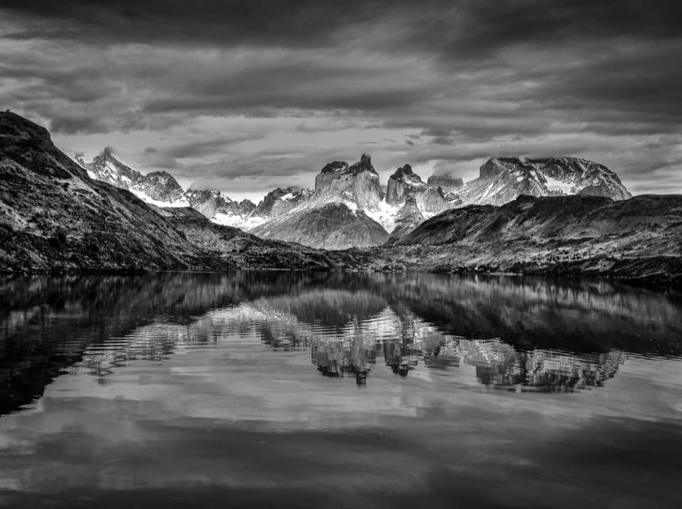 EasySendero Misceláneo2.5 km · 2 hr · 6.3 km awayA short shore walk links Puente Weber with park administration.
 ChallengingMirador Sierra del Toro Trail4.8 km · 3 hr · 6.7 km awayA steep climb above Lago del Toro to a wide Patagonian vista.
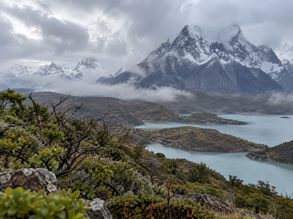 ChallengingCornisas6.6 km · 3 hr · 7.7 km awayCross the ridge for a big Paine River and massif view.
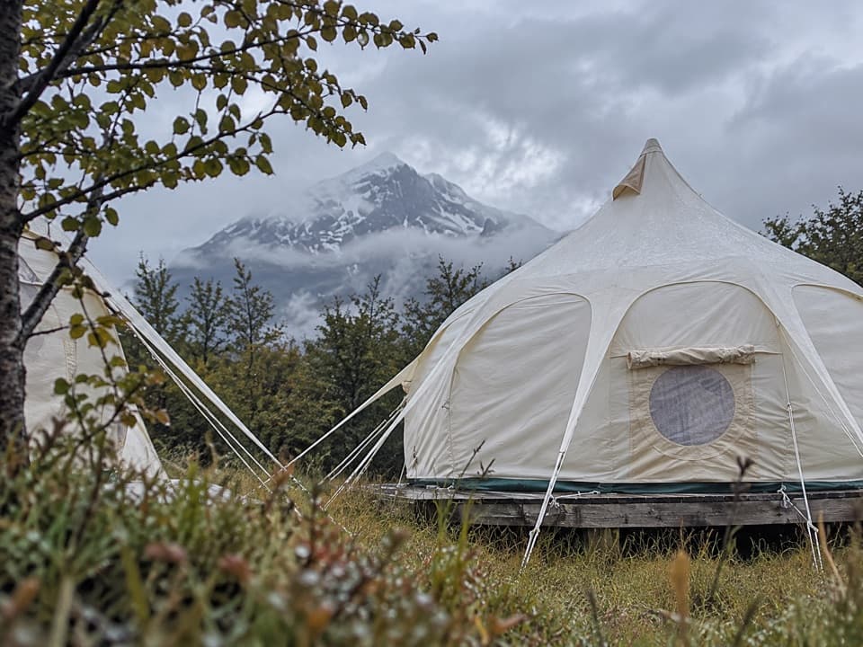 Campground · 1.2 km awayCamping Río SerranoA cooking shelter at every pitch, beside the Río Serrano.
 Sight · 1.7 km awayMirador Río SerranoA quick roadside stop for river bends and the Paine skyline
 Visitor center · 4.4 km awayCentro de Visitantes y AdministraciónA good first stop for the park’s natural and human story.
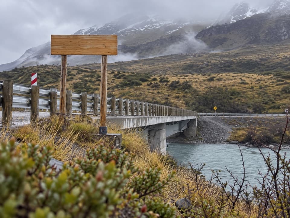 Sight · 6.2 km awayPuente WeberA quick bridge view with water and open Patagonian hills.
 Sight · 7.2 km awayMirador Lago ToroA hilltop lookout above Lago Toro, reached on foot.
Parkwolf’s Torres del Paine ranking

The audio tour guide for the drive, plus offline maps, trails, and wildlife heatmaps for when the signal drops.