Parking
Puente Weber on Ruta Y-150 is the described start; a dedicated lot or parking capacity was not verified. The one-way route ends by park administration, so arrange a pickup or return on foot.

Torres del Paine National Park, MA
A short shore walk links Puente Weber with park administration.
Overview
Map & elevation
Plan your hike

The highest, rockiest slopes around here are a summer buffet for grizzly bears.
Torres del Paine Tour Guide
Parkwolf is a GPS audio tour guide for Torres del Paine National Park. As you drive, it chimes in with what’s ahead: hidden gems, upcoming stops, history, geology, and wildlife, right through your car’s speakers.
See the Torres del Paine audio tourRecorded for this trailhead
Puente Weber: A Brief River View“Puente Weber is ahead, a low concrete bridge over blue-green water beneath open hills. It's a brief scenic pause rather than a destination to build your day around.”
Plays as you drive up to this trailhead in the Parkwolf Torres del Paine Tour Guide.
More stories near here in the app
“Fantastic app with many points of information… It’s great to just turn on while you’re driving and it gives you an audio tour of the national Park. We love it!!!!”


Trail guide
Sendero Misceláneo is an easy, one-way point-to-point walk between Puente Weber and the park administration. Use about 2.5 km (1.55 miles) and two hours as a planning figure. The route follows the Río Paine and Lago El Toro shore, then winds through open ground and Magellanic forest, with a few stair sections and viewpoints toward water and mountains. It’s a compact scenic walk rather than a summit hike.
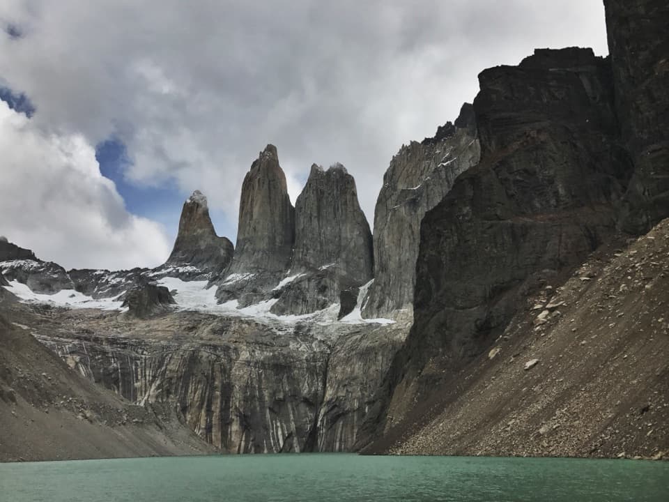
Puente Weber is the route’s signature view: the Paine massif can reflect across the Río Paine below the bridge. From there the path moves along the water before turning through forest and open patches. Patagonia Camp describes mature ñirre trees along the walk. Orchids are reported in spring and summer, so their bloom timing varies.
This entry maps the walk from Puente Weber toward administration; the same segment is also described in reverse. Arrange a pickup at the far end or walk back, which roughly doubles the outing. Published figures range from about 2 to 3 km for the one-way segment, likely reflecting different access points or route extents. The 2.5 km figure is a practical middle estimate, and the mapped line is 2.41 km.
Local operators describe the walk, but the current official list of enabled trails does not name this short connector. Confirm with park staff that it is accessible before relying on it. No trail-specific parking details were verified at Puente Weber. Pets are not allowed in the park.
Wildlife
 113 sightingsPumaMost seen around 7 PMSighting map
 146 sightingsAndean CondorMost seen around noonSighting map
 381 sightingsGuanacoMost seen around 7 AMSighting map
 53 sightingsHuemulMost seen around 7 AMSighting map
 36 sightingsLesser RheaMost seen around 6 PMSighting map
 11 sightingsWild HorseMost seen around 7 AMSighting map
Sighting maps show where each species has been reported across Torres del Paine. Wildlife moves, so no sighting is guaranteed.
Keep exploring
 ChallengingMirador Sierra del Toro Trail4.8 km · 3 hr · 0.4 km awayA steep climb above Lago del Toro to a wide Patagonian vista.
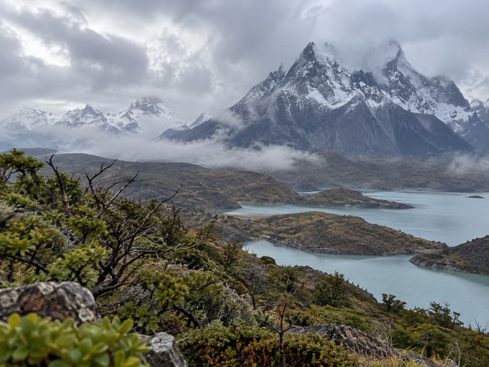 ChallengingCornisas6.6 km · 3 hr · 1.5 km awayCross the ridge for a big Paine River and massif view.
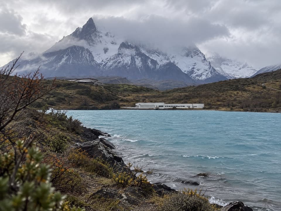 EasyRibera Paine Trail1.6 km · 1.3 hr · 5.5 km awayAn easy loop over low hills to the Paine River
 ModerateMirador Cóndor Trail2.4 km · 1.5 hr · 6.2 km awayA short, steep climb to a sweeping Pehoé and Paine panorama.
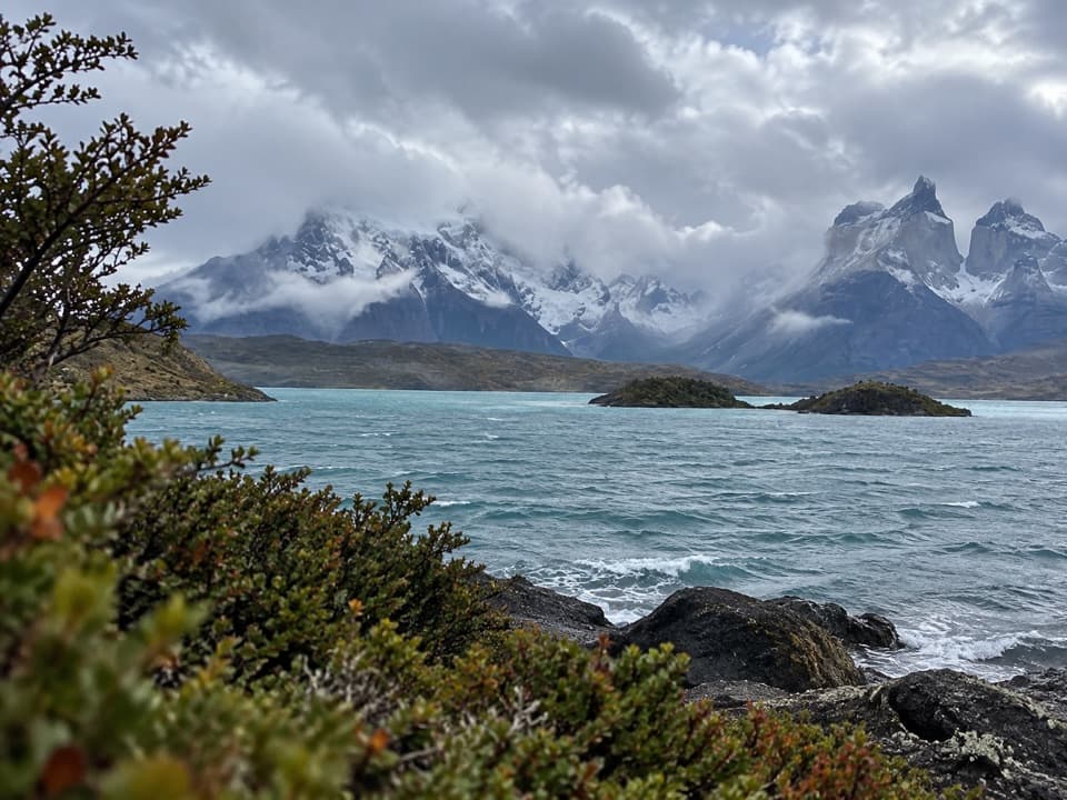 EasyMirador Cardán Trail0.5 km · 10 min · 6.3 km awayA short walk to a beach below Los Cuernos.
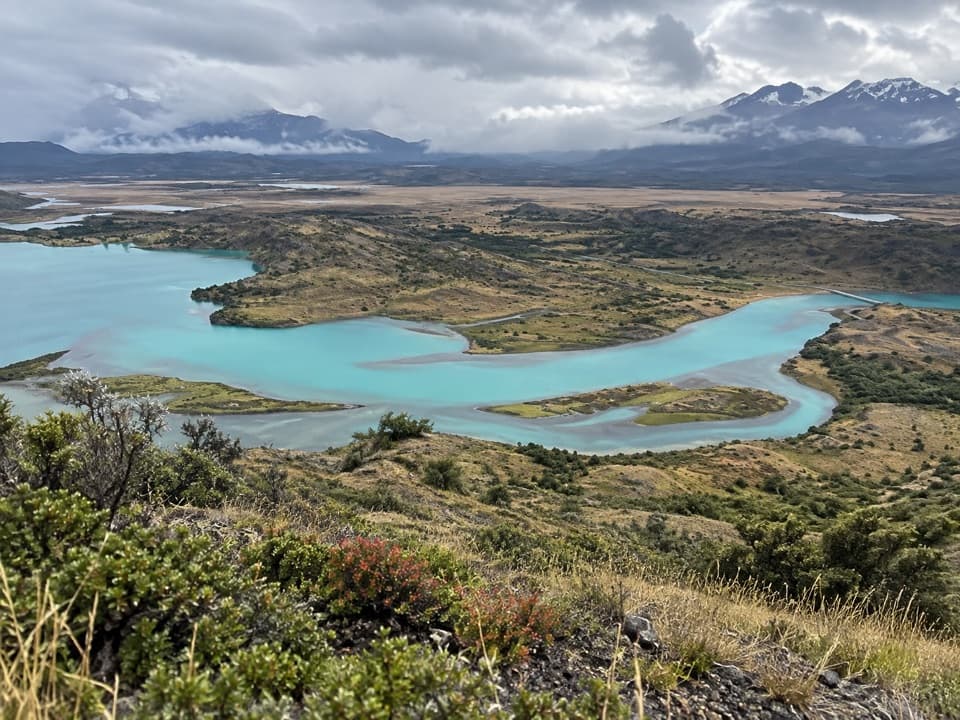 ModerateAlto del Toro Trail13.7 km · 6.4 hr · 10.5 km awayA full-day traverse through old forest to a 360° Paine view.
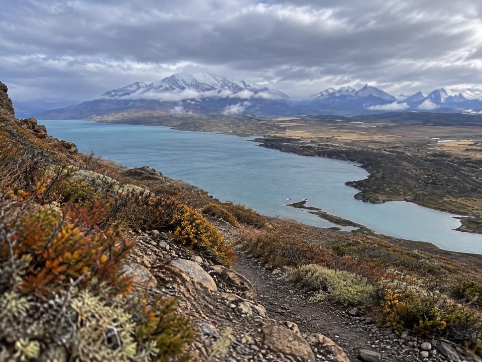 ModerateLazo–Weber Trail12.9 km · 5.5 hr · 10.5 km awayLenga forest, open lakes, and a big Lago Toro finish.
 ModerateSalto Grande to Mirador Cuernos Trail6.2 km · 2.5 hr · 11 km awayA waterfall, black-sand shore, and the Cuernos across the lake.
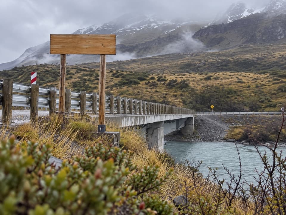 Sight · At the trailheadPuente WeberA quick bridge view with water and open Patagonian hills.
 Sight · 1.7 km awayMirador Lago ToroA hilltop lookout above Lago Toro, reached on foot.
 Visitor center · 2 km awayCentro de Visitantes y AdministraciónA good first stop for the park’s natural and human story.
 Sight · 5.4 km awaySalto ChicoA short stop for the Paine River's smaller, forceful waterfall.
 Lodging · 5.5 km awayExplora Torres del PaineA lakefront lodge with front-row views of the Paine massif.
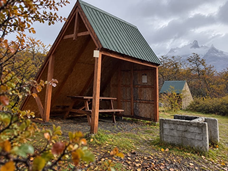 Campground · 6.2 km awayCamping PehoéA lakeside camp with Cuernos views, restaurant and insulated domes.
 Entrance station · 6.3 km awayPortería SerranoSouthern entry checkpoint with CONAF rangers and a broad Paine backdrop.
 Sight · 6.7 km awayMirador CóndorA short, windy climb to a huge Paine panorama.
Parkwolf’s Torres del Paine ranking

The audio tour guide for the drive, plus offline maps, trails, and wildlife heatmaps for when the signal drops.