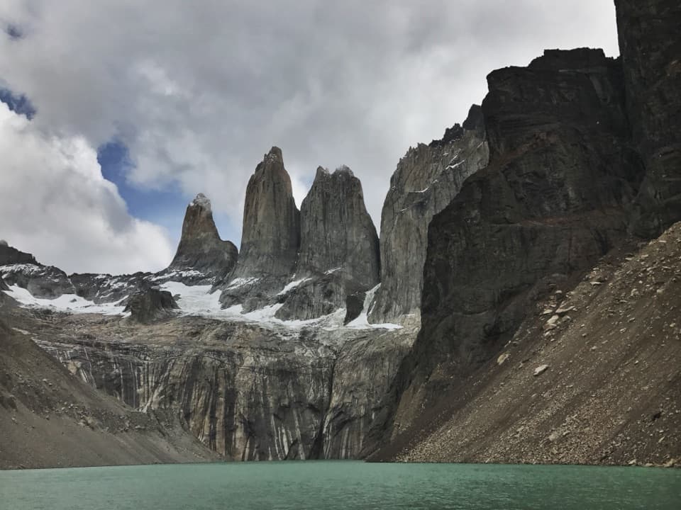
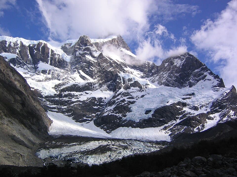
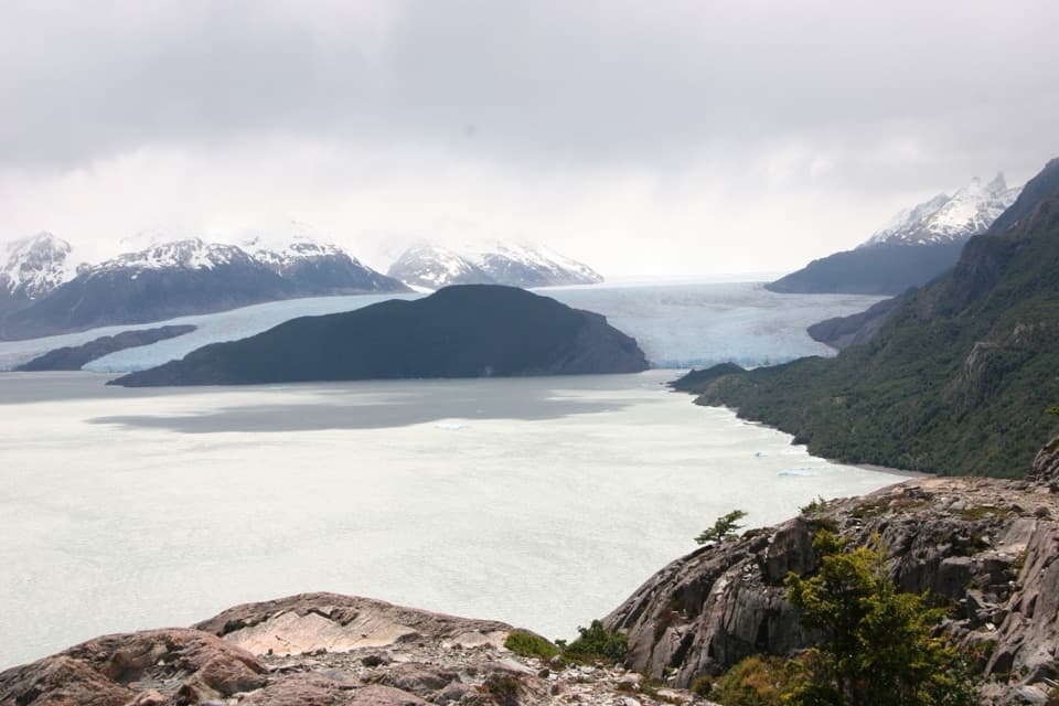
Parking
The mapped Y-150 access is about 500 metres north of Puente Weber. Parking and independent public access are not confirmed; the described excursion is van-supported. Confirm the approach and parking with the operator before you go.

Torres del Paine National Park, MA
A steep climb above Lago del Toro to a wide Patagonian vista.
Overview
Map & elevation
Plan your hike

The highest, rockiest slopes around here are a summer buffet for grizzly bears.
Torres del Paine Tour Guide
Parkwolf is a GPS audio tour guide for Torres del Paine National Park. As you drive, it chimes in with what’s ahead: hidden gems, upcoming stops, history, geology, and wildlife, right through your car’s speakers.
See the Torres del Paine audio tourRecorded for this trailhead
Mirador Lago Toro: A View on Foot“You're nearing the walking access for Mirador Lago Toro, near Puente Weber. This viewpoint takes you above the lake, with the Paine River entering the water and the massif beyond.”
Plays as you drive up to this trailhead in the Parkwolf Torres del Paine Tour Guide.
More stories near here in the app
“Fantastic app with many points of information… It’s great to just turn on while you’re driving and it gives you an audio tour of the national Park. We love it!!!!”


Trail guide
Mirador Sierra del Toro is a steep out-and-back climb to a high viewpoint above Lago del Toro. Operator listings give about 3 miles (4.8 km) round trip, roughly three hours, and about 1,490 feet of climbing. The mapped outward corridor is around 1.4 miles; you return on the same route, so the stored line shows the trail once. It suits hikers who want a short but demanding climb for lake, river, and mountain views.
Route descriptions place a crossing of the turquoise Paine River before a steep, rocky ascent. They do not say whether the crossing is a bridge, a ford, or something else, or how conditions vary. Confirm the crossing and approach with the operator before setting out. The mileage is modest, but the climb is the main effort.
The payoff is a broad view over Lago del Toro, the Paine River, and Serrano Pampa, with the Paine massif beyond. Keep the lake and river in the frame with the skyline; that gives the wide view some scale.
The mapped access is on Y-150 about 500 metres north of Puente Weber. The excursion is described as van-supported, but public self-guided access and parking are not confirmed. Arrange the approach before driving out. This is distinct from the shorter Mirador Toro walk and the much longer Alto del Toro excursion.
Wildlife
 113 sightingsPumaMost seen around 7 PMSighting map
 146 sightingsAndean CondorMost seen around noonSighting map
 381 sightingsGuanacoMost seen around 7 AMSighting map
 53 sightingsHuemulMost seen around 7 AMSighting map
 36 sightingsLesser RheaMost seen around 6 PMSighting map
 11 sightingsWild HorseMost seen around 7 AMSighting map
Sighting maps show where each species has been reported across Torres del Paine. Wildlife moves, so no sighting is guaranteed.
Keep exploring
 EasySendero Misceláneo2.5 km · 2 hr · 0.4 km awayA short shore walk links Puente Weber with park administration.
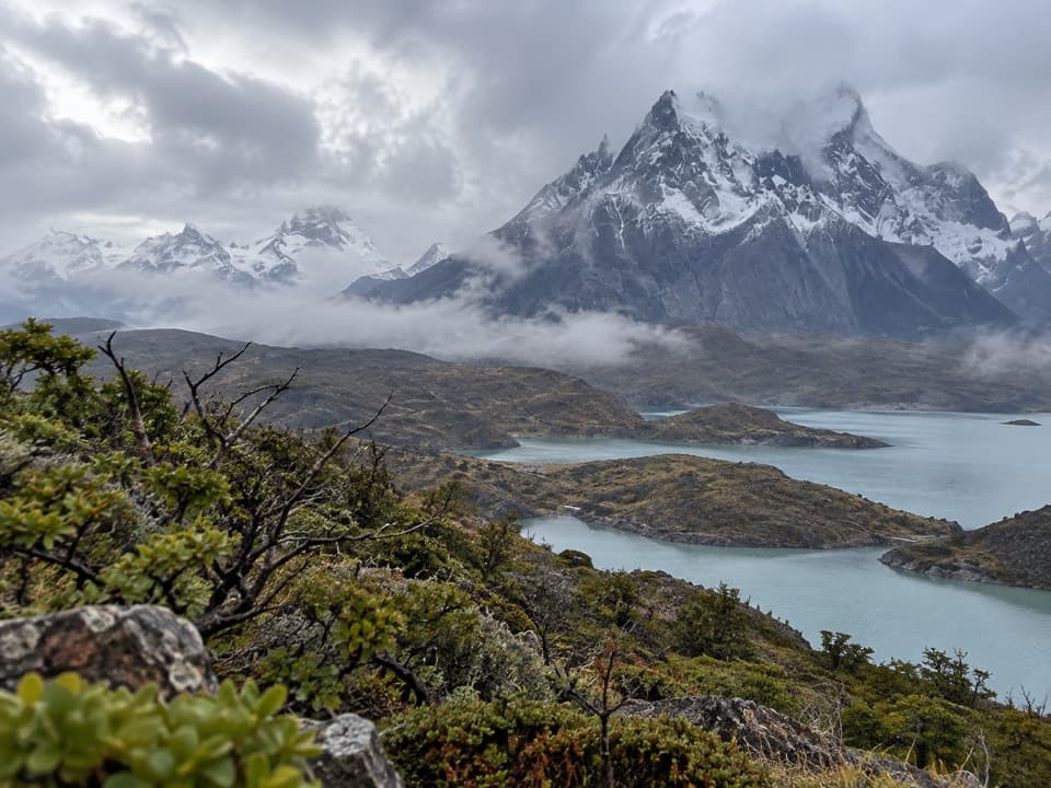 ChallengingCornisas6.6 km · 3 hr · 1.1 km awayCross the ridge for a big Paine River and massif view.
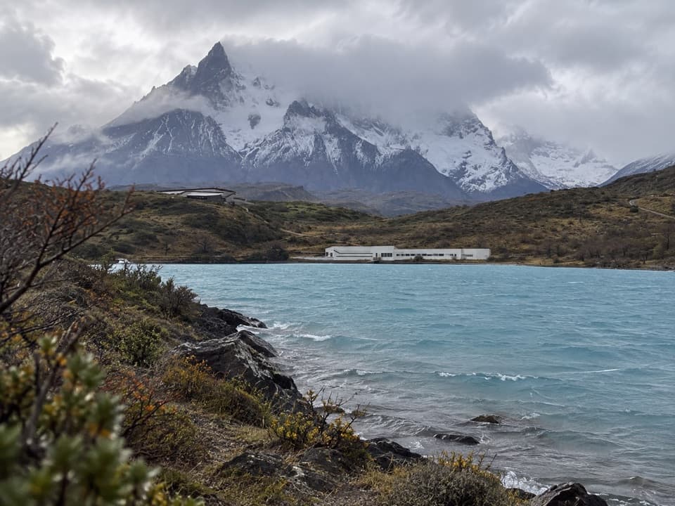 EasyRibera Paine Trail1.6 km · 1.3 hr · 5.1 km awayAn easy loop over low hills to the Paine River
 ModerateMirador Cóndor Trail2.4 km · 1.5 hr · 5.8 km awayA short, steep climb to a sweeping Pehoé and Paine panorama.
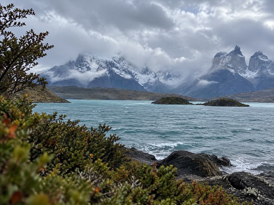 EasyMirador Cardán Trail0.5 km · 10 min · 5.9 km awayA short walk to a beach below Los Cuernos.
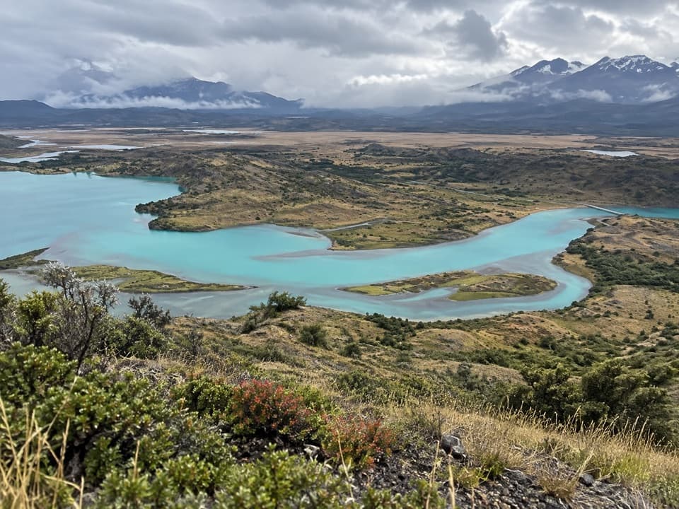 ModerateAlto del Toro Trail13.7 km · 6.4 hr · 10.2 km awayA full-day traverse through old forest to a 360° Paine view.
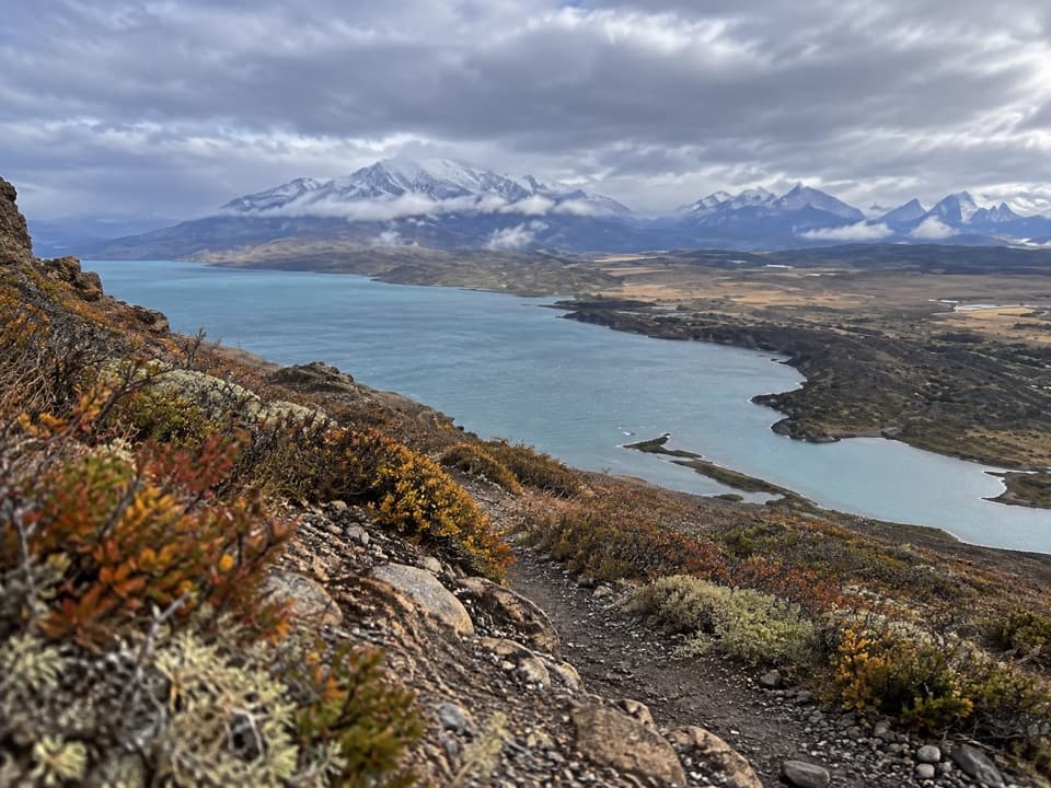 ModerateLazo–Weber Trail12.9 km · 5.5 hr · 10.3 km awayLenga forest, open lakes, and a big Lago Toro finish.
 ModerateSalto Grande to Mirador Cuernos Trail6.2 km · 2.5 hr · 10.6 km awayA waterfall, black-sand shore, and the Cuernos across the lake.
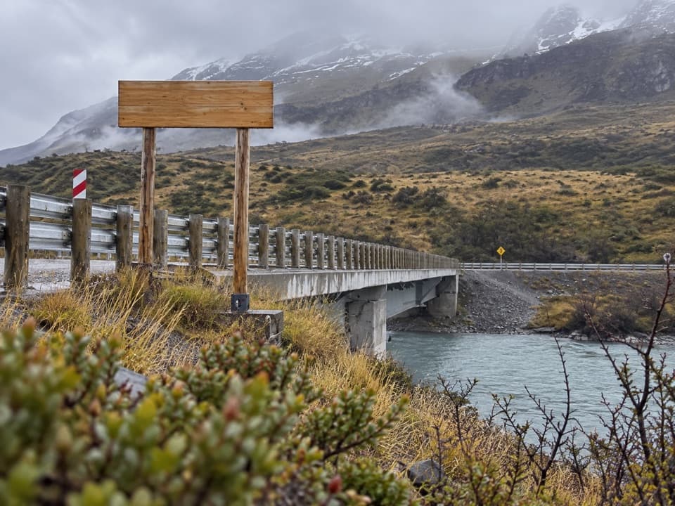 Sight · 0.5 km awayPuente WeberA quick bridge view with water and open Patagonian hills.
 Sight · 1.6 km awayMirador Lago ToroA hilltop lookout above Lago Toro, reached on foot.
 Visitor center · 2.4 km awayCentro de Visitantes y AdministraciónA good first stop for the park’s natural and human story.
 Sight · 5 km awaySalto ChicoA short stop for the Paine River's smaller, forceful waterfall.
 Lodging · 5.1 km awayExplora Torres del PaineA lakefront lodge with front-row views of the Paine massif.
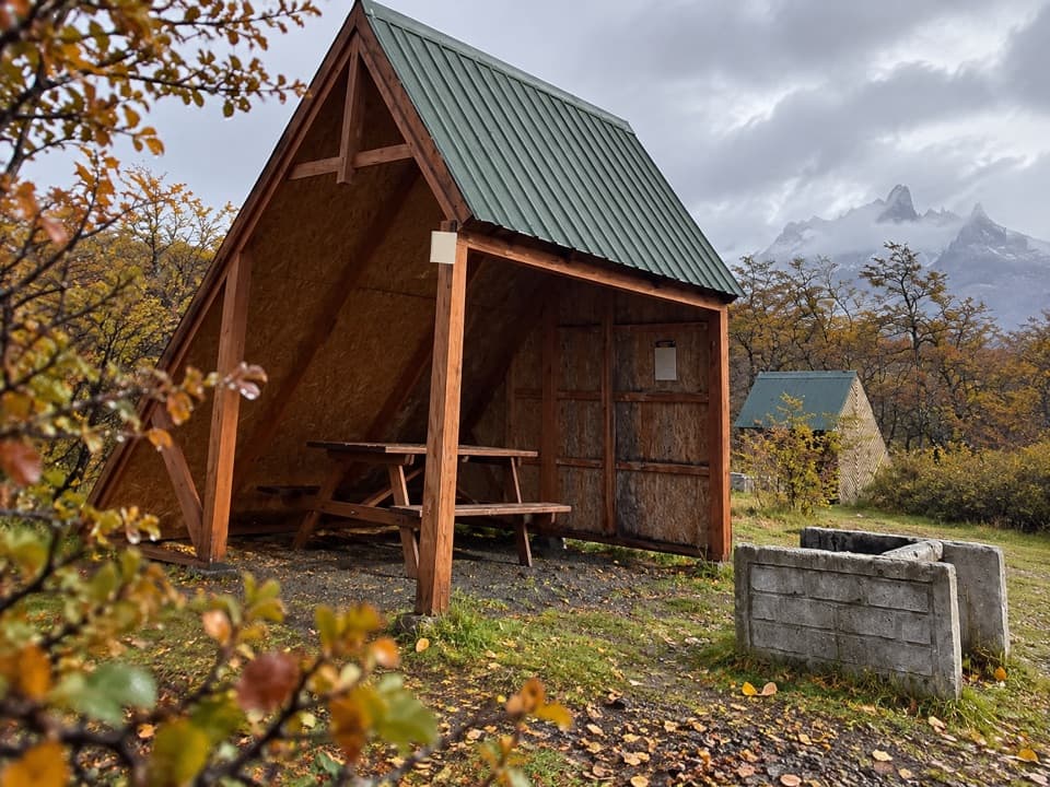 Campground · 5.9 km awayCamping PehoéA lakeside camp with Cuernos views, restaurant and insulated domes.
 Sight · 6.3 km awayMirador CóndorA short, windy climb to a huge Paine panorama.
 Entrance station · 6.7 km awayPortería SerranoSouthern entry checkpoint with CONAF rangers and a broad Paine backdrop.
Parkwolf’s Torres del Paine ranking

The audio tour guide for the drive, plus offline maps, trails, and wildlife heatmaps for when the signal drops.