
Place
Easy
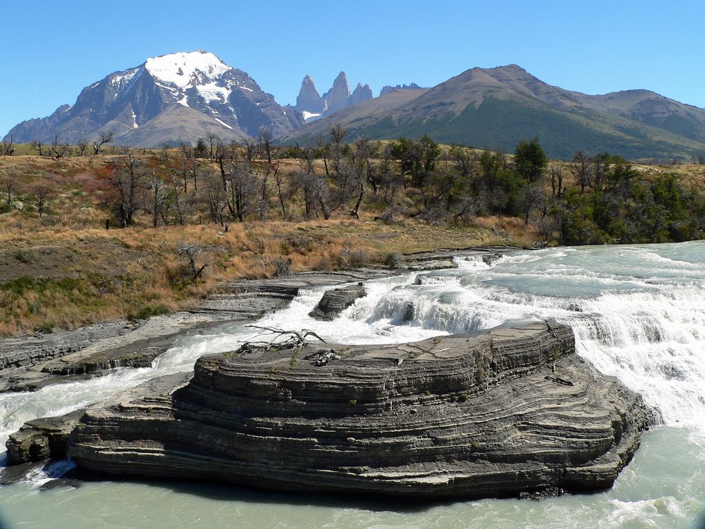
This is a short, easy out-and-back to a fenced overlook of Cascada del Paine on the Río Paine. Expect about 1.1 miles total (round trip) with roughly 134 feet of gentle gain, typically done in 30–60 minutes. Think leg‑stretch, not expedition—perfect between longer hikes or as a scenic pull‑off during a park drive.
The Río Paine flows that unmistakable milky‑turquoise thanks to fine glacial silt (rock flour) suspended in the water. Follow the riverbank to the waterfall viewpoint for broad mountain vistas and the thundering falls below. Keep an eye on the open plains—guanacos are often part of the wider landscape here.
The path is short and mostly flat on unpaved ground to a signed viewpoint—straightforward footing, minimal elevation, and a mellow grade. It’s suitable for most visitors who want maximum views for minimum effort.
Access is by car along the road between Laguna Amarga and Laguna Azul, with parking right by the viewpoint. No pets are allowed in the park, and you’ll need a valid park entry pass. This spot is primarily for walking and casual birding; it’s not a bike route. Because it’s quick, it pairs well with a bigger day elsewhere in the park.
Open year‑round. Patagonian weather is famously fickle—even in summer—so bring layers and be wind‑ready. If the breeze is howling, wait for a lull; the overlook is much nicer (and safer) when gusts ease. For a more substantial outing, consider one of the park’s marquee routes like the Towers’ Base or French Valley on another day.
Roadside parking beside the signed viewpoint along the route between Laguna Amarga and Laguna Azul.
Patagonian winds can be extreme—even in summer—and may exceed typical hiking conditions. Stay behind the fence at the overlook and be prepared for sudden weather shifts on the short, unpaved approach.
Place
Place
Place
Place
Challenging

Moderate

Challenging
Moderate

Parkwolf Tour Guide
