
Place
Moderate
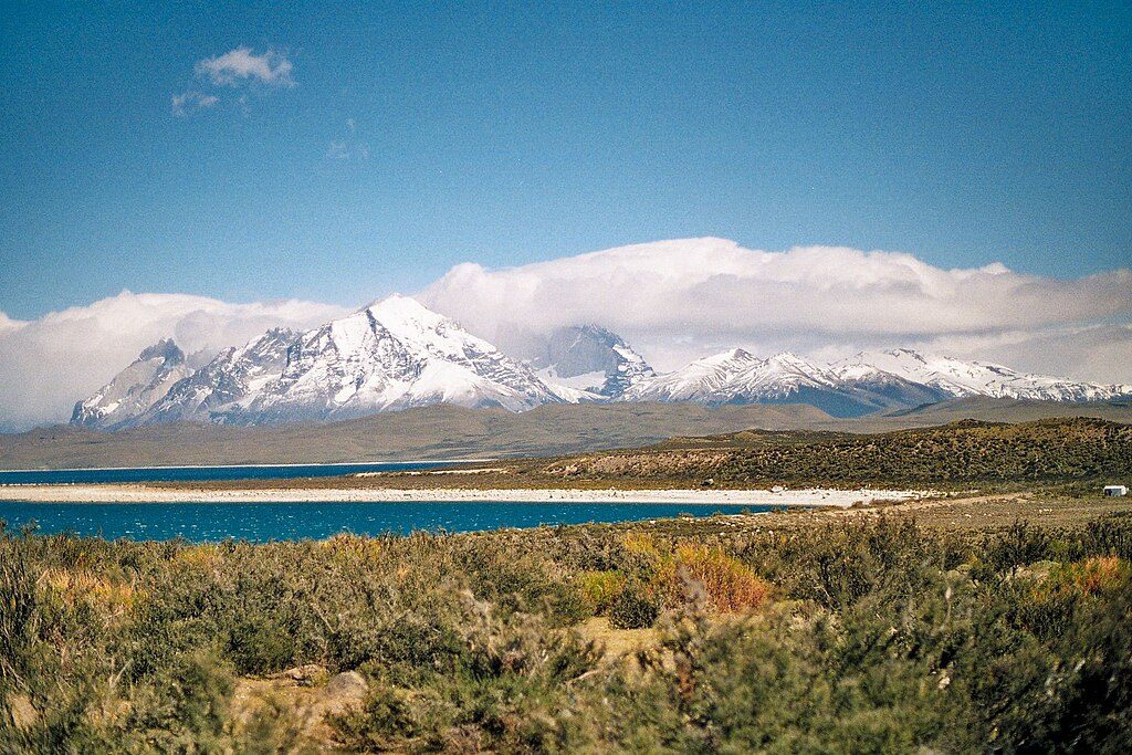
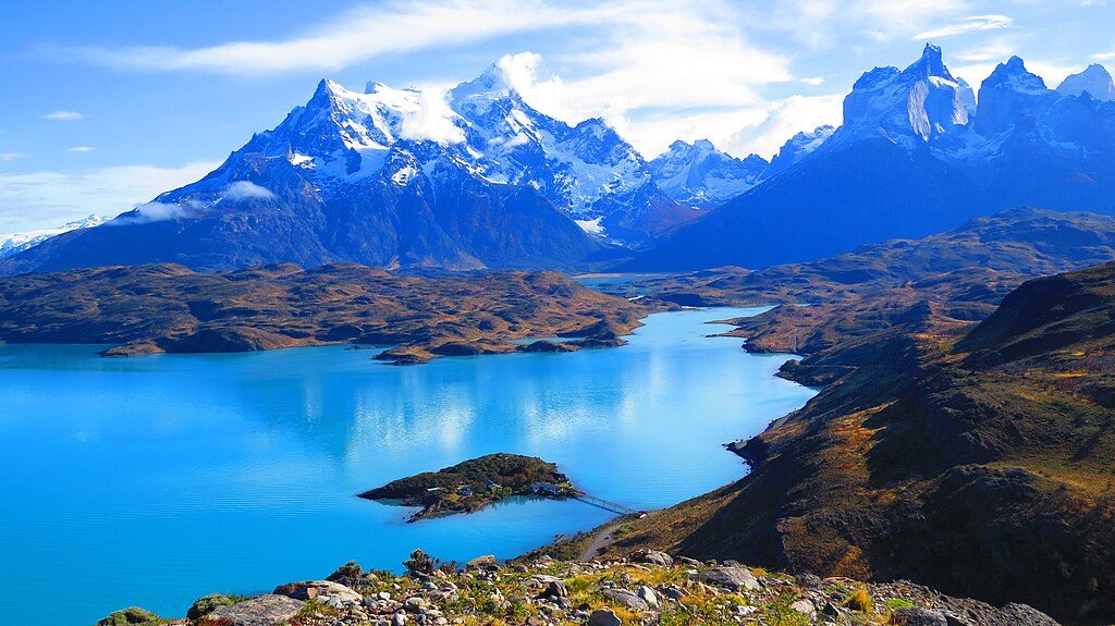
This east‑side shoreline path tracks the edge of Lago Sarmiento with constant, big‑sky views of the Paine Massif. The classic traverse runs one way between the Lago Sarmiento entrance and the Laguna Amarga gate (about 4.0–4.35 miles / 6–7 km one way). Plan on 2–3 hours at an unhurried pace. Grades are generally gentle, but footing turns rocky in places and the final approach to Laguna Amarga descends across conglomerate rock.
The lake’s edge is rimmed by bright white bands of calcium‑carbonate thrombolites—rare, living “fossil” structures that accrete extremely slowly and circle parts of the shore. Expect steady vistas of the Paine Massif and Monte Almirante Nieto, plus textured passes through striking conglomerate outcrops near the Amarga end. A rock eave along the longer route preserves cave paintings dated to more than 6,000 years.
This quiet corridor is prime for sightings: guanacos graze the steppe, rheas roam the open flats, gray foxes work the edges, and Andean condors often cruise overhead. It’s also known puma country—treat it with the respect that deserves.
Sources present this as a standard option without a single “best” season. Expect exposure and strong winds at any time of year; hikes often proceed rain or shine. Check the forecast, dress for wind and sudden changes, and favor clear periods for the far‑ranging views.
Park at the Lago Sarmiento entrance or the Laguna Amarga gate; many hikers stage a vehicle or arrange a shuttle. Basic services are available at Laguna Amarga.
Puma habitat—give wildlife space. Strong winds and full exposure are common. Rocky conglomerate near the Amarga descent. Stay off fragile thrombolites and do not touch cave art.
Place
Place
Place
Place
Challenging
Moderate
Challenging
Moderate

Parkwolf Tour Guide
