Pros & cons
PROS
- Poignant desert memorial with a unique pioneer backstory
- Quick stop—about 150 feet from the highway
CONS
- No shade or facilities
- Easy to miss from the road
Overview
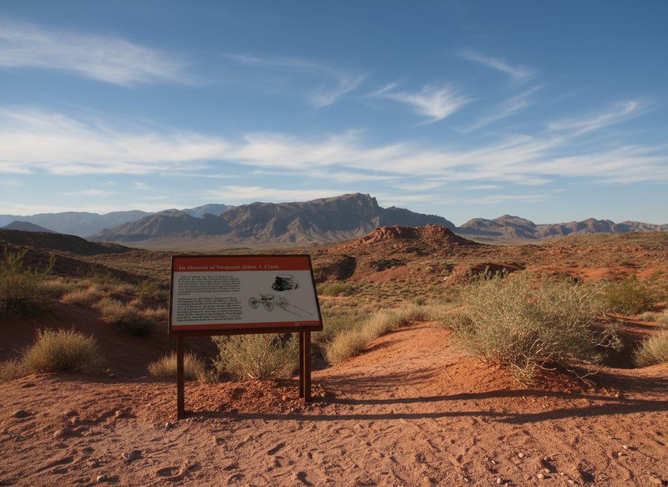
A quiet, sobering stop in a park known for red-rock drama, the Captain John J. Clark Memorial Cross sits a short walk off Valley of Fire Highway. It’s not flashy, but it hits hard: a lone white cross in open desert, honoring a traveler who didn’t make it through this landscape.
The Story
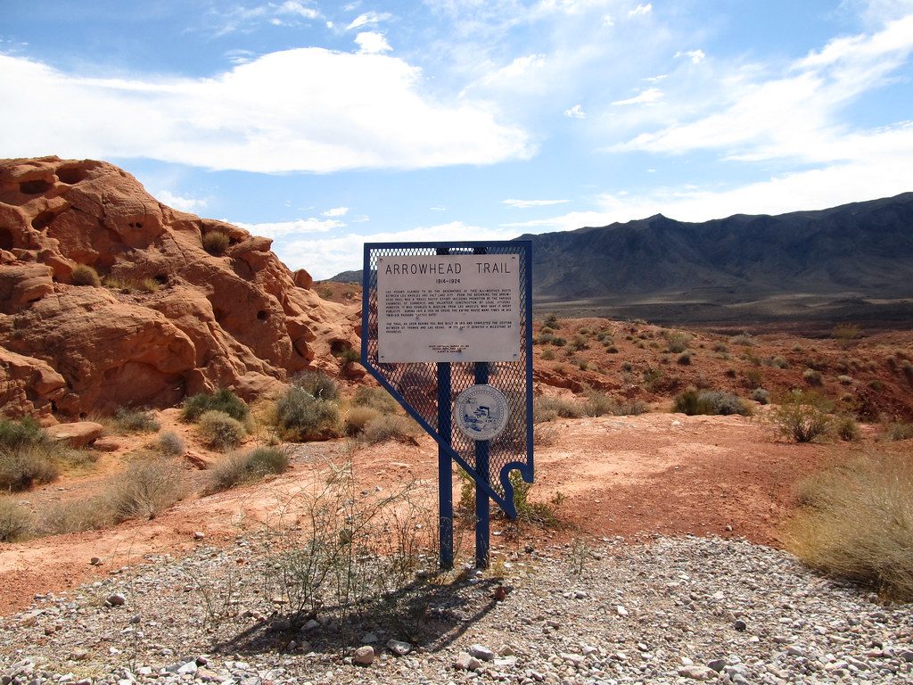
In June 1915, John J. Clark—listed in park info as retired from the 46th New York Infantry—was driving a buckboard along the old Arrowhead Trail. He tied his horse to the back, lay down, and died of thirst at this spot. The horse died here too. Locals from Overton erected the cross in June 1949, a stark reminder of how unforgiving this desert can be.
What You’ll See
- A simple white cross and marker set in open Mojave desert.
- Big-sky views with red rock in the distance—minimal development, lots of silence.
- It’s a reflective, uncrowded stop rather than a photo-op showpiece, though late-day light can be beautiful.
Getting There
The cross is roughly 150 feet south of Valley of Fire Highway, east of the Visitor Center. Reports note it on the right when traveling east. It’s easy to miss, so keep your eyes peeled or use approximate coordinates N 36° 25.523 W 114° 28.143. Expect a short, uneven desert walk; closed-toe shoes help.
Wildlife
This is classic Mojave habitat. You might spot lizards, jackrabbits, birds, or even bighorn in cooler hours, but sightings aren’t guaranteed—think of wildlife here as a bonus, not a promise.
Is It Worth Your Time?
If you’re here for geology alone, you might drive past. If you like history and quieter corners, this is a meaningful five-minute detour that puts the park’s harsh beauty into perspective.
Best Time to Visit
- Light: Late afternoon to sunset warms the scene with red and gold hues.
- Season: Cooler months or early/late in the day; summer midday can be brutal with no shade.
- Crowds: Minimal anytime—this is an under-the-radar stop.
Where it is
36.4254, -114.4691Tips for Captain John J Clark Memorial Monument
- 01Watch for it on the right when driving east; it’s easy to miss.
- 02Load the approximate coordinates (N 36° 25.523 W 114° 28.143) before signal drops.
- 03Go near sunset for the most evocative light and cooler temperatures.
- 04Carry water and sun protection—there’s zero shade or services.
- 05It’s an off-pavement stroll of about 150 feet; wear closed-toe shoes.
Amenities
Near Captain John J Clark Memorial Monument
All places →All trails →
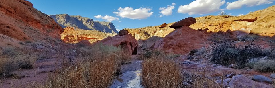
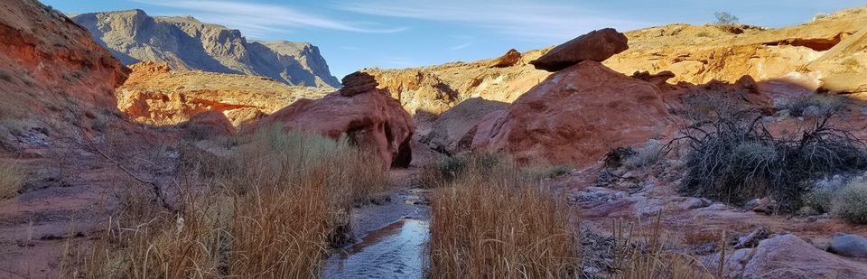
0.1 mi awayCharlie's Spring TrailQuiet wash to oasis ramble with red rock narrows and solitudeModerate · 4.6 mi · 3 hr
0.1 mi awayCharlie's SpringRemote desert oasis at the end of a rugged, sandy washScenic Viewpoint
0.1 mi awayArrowhead TrailHistoric cross-park traverse with solitude and big desert viewsModerate · 6.8 mi · 4 hr
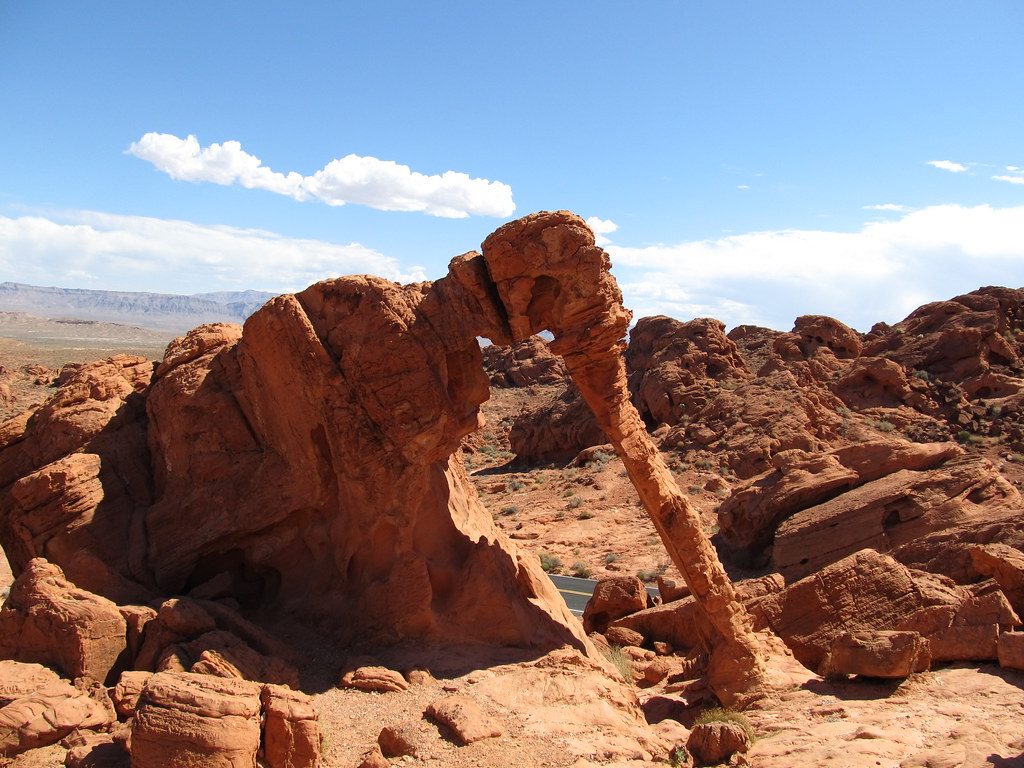
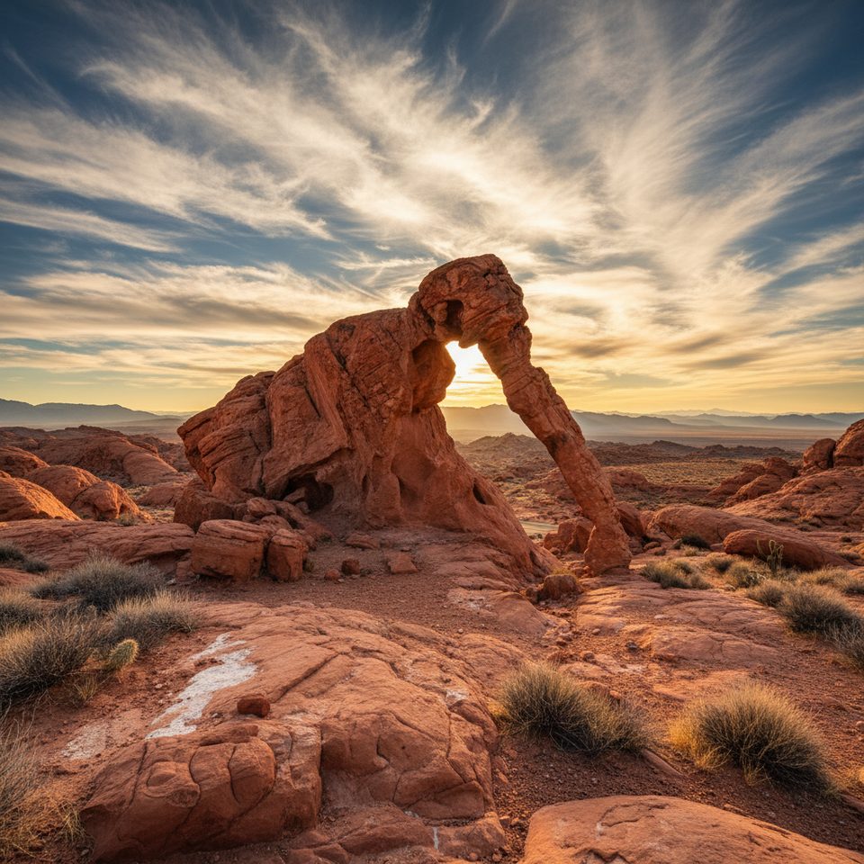
0.5 mi awayElephant RockElephant-like sandstone arch near the east entranceTrailhead · Parking
0.7 mi awayElephant Rock LoopQuick, photogenic loop featuring the iconic elephant shaped archEasy · 1.2 mi · 45 min
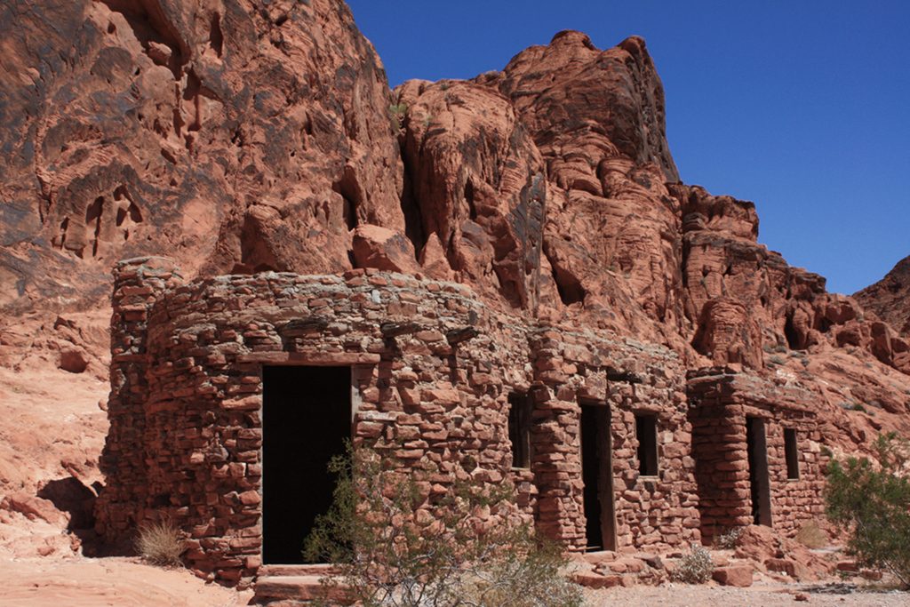
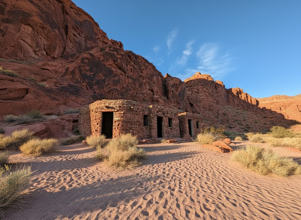
0.8 mi awayCabins TrailA quick stroll to 1930s CCC stone cabins with picnic shade.Easy · 0.2 mi · 6 min
0.8 mi awayThe Cabins1930s stone shelters with petroglyphs, shade, and desert viewsParking · Restroom
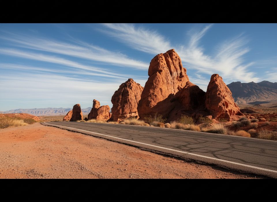
1.8 mi awaySeven Sisters Picnic AreaRoadside red rock towers with shaded picnic shelters and easy photosPicnic Table · Restroom