
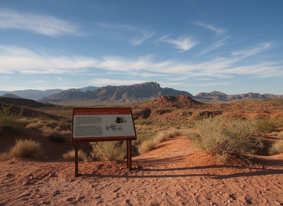
Place · 0.1 mi away
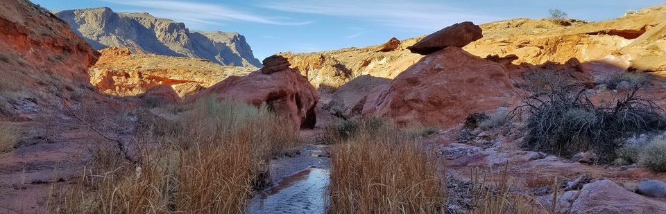
Charlie's Spring is the park’s low-key treasure: a lush desert oasis tucked at the end of a broad sandy wash and narrowing red-rock canyon. It feels remote and underappreciated—perfect if you want solitude and a bit of route-finding rather than a paved viewpoint.
Expect deep sand, occasional rock steps, and a few short, steeper bits as the wash funnels into canyon walls. This is not a signed, groomed path—navigation is by staying in the wash. Reported distances vary by how far you go: about 4.6 miles round-trip on the most direct route, roughly 6–7 miles as a loop, and longer if you continue deeper into the canyon.
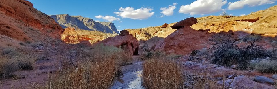
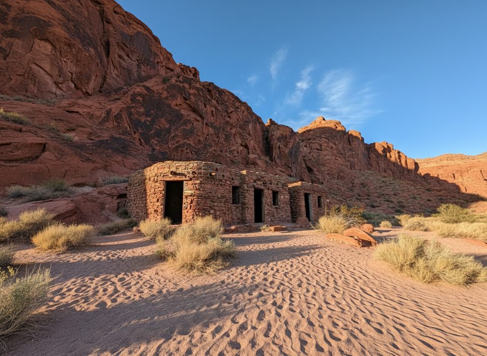
The approach rolls through Aztec sandstone and conglomerate—bright reds contrasted with gray-green layers—before shifting to surprisingly dense vegetation and shallow water at the spring. The canyon’s textures and color transitions are the show; reaching the palm-and-bush oasis is the payoff.
Water is life out here, so keep your eyes peeled near the spring. Hikers report desert birds and lizards regularly, with possible sightings of bighorn sheep along the route.
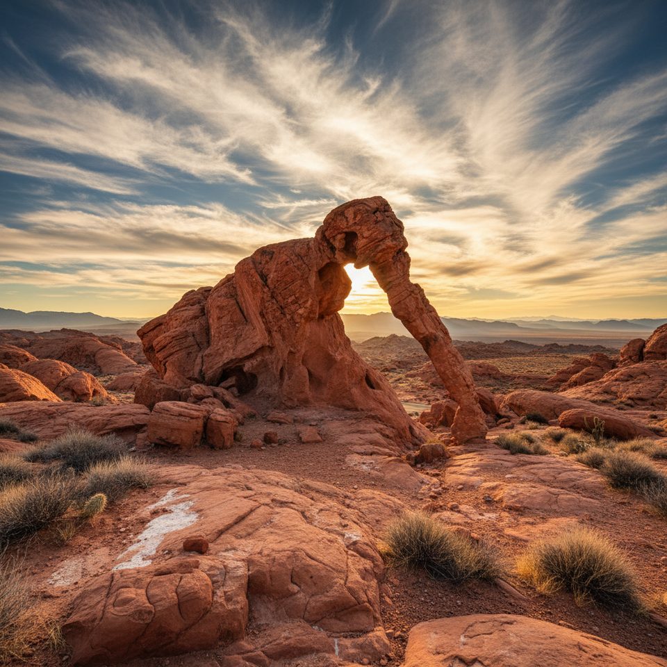
The route starts near Elephant Rock, sharing access with the Natural Arches area. You'll head through a tube under the main highway and then south into the wash—after that, it's all about following the drainage. There are no facilities and little to no signage.
This hike is hot, exposed, and remote. It sees heat-related incidents in warm months and is officially closed May 15–September 30. There’s little to no cell service, so be self-sufficient and conservative with your turnaround time.
Carry plenty of water (think multiple liters), sun protection, snacks, and a map or GPS. Trekking poles help in the sand; a lightweight first-aid kit is smart.
Go in the cool months (October–April). Start early for softer light on the canyon walls and to keep temps reasonable. Weekdays are especially quiet; sunrise to mid-morning gives the best photography light and the easiest conditions.
Place · 0.1 mi away
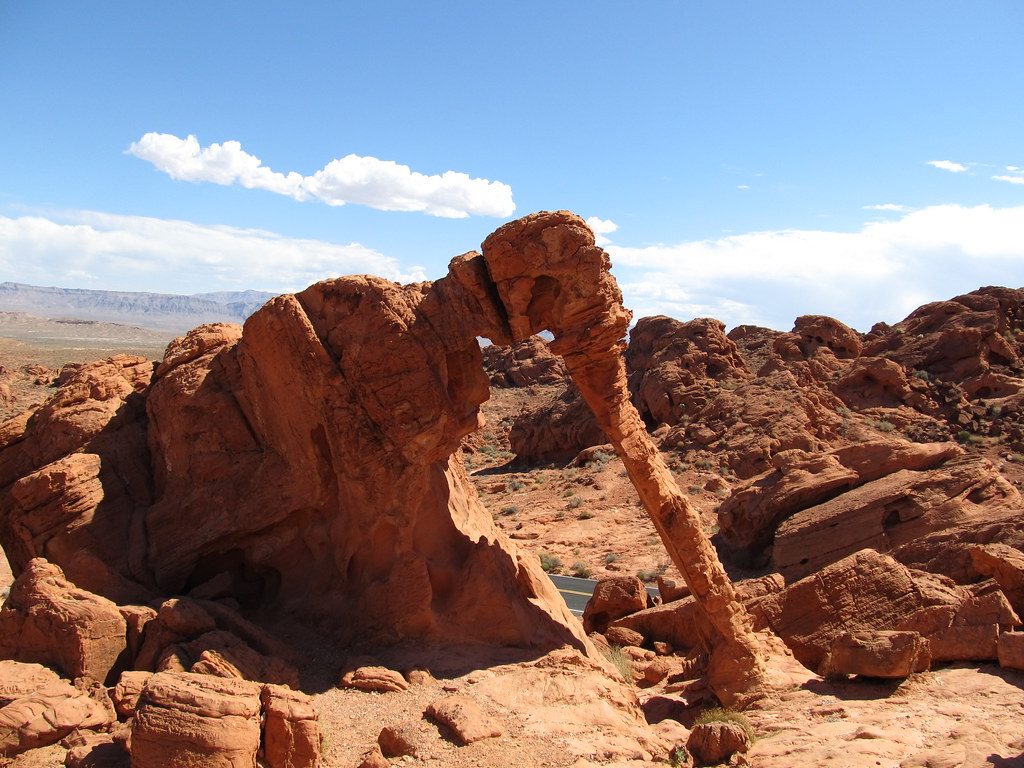
Place · 0.5 mi away
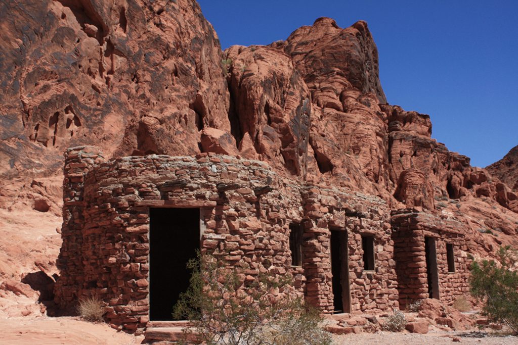
Place · 0.9 mi away
Place · 1.8 mi away
Moderate · 0.2 mi away
Moderate · 0.2 mi away
Easy · 0.7 mi away
Easy · 0.9 mi away

Parkwolf Tour Guide
