
Place · 0.1 mi away
Moderate
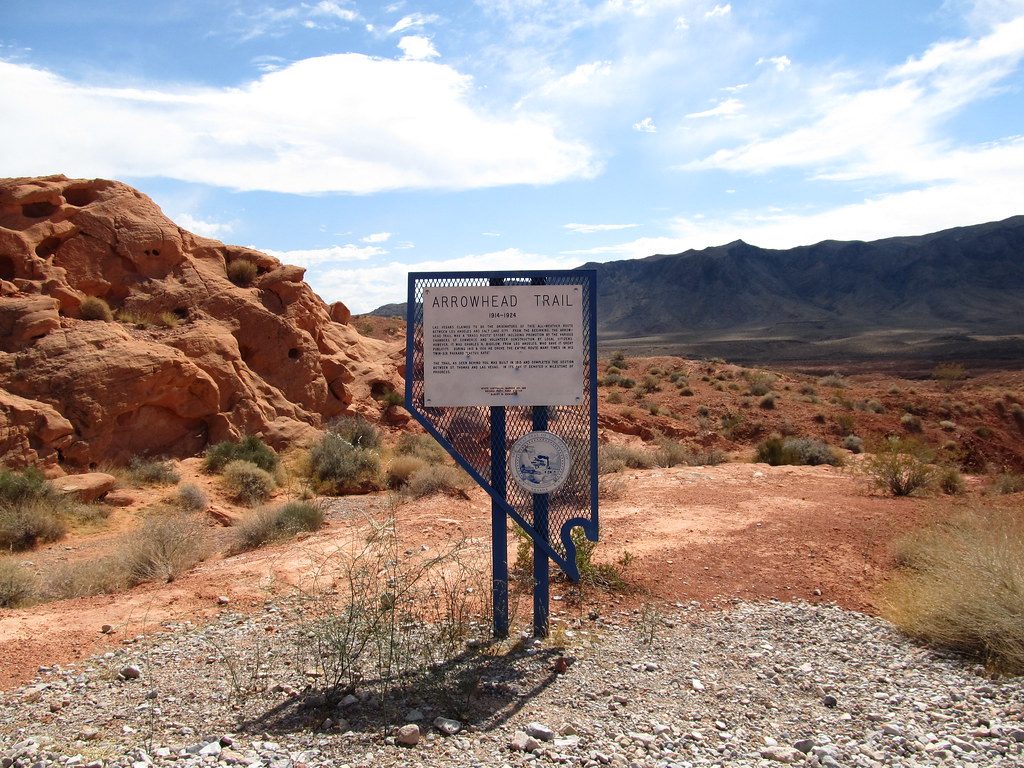
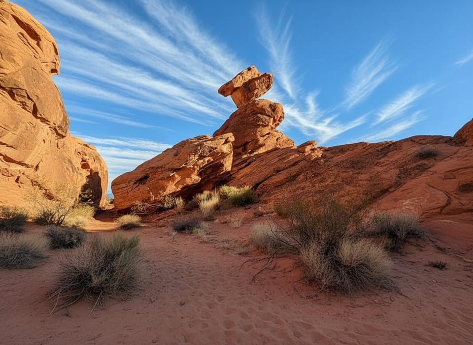
Arrowhead Trail is for hikers who like history, quiet, and wide-open desert. This point‑to‑point route follows a slice of the early Arrowhead Highway across Valley of Fire’s southern side, with red Aztec sandstone all around and the occasional panoramic look toward Lake Mead. It’s not the park’s flashiest path, but the solitude and sense of place are the draw.
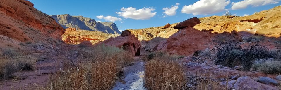
Length is about 6.8 miles one way. Expect roughly 800 feet of elevation difference across the traverse—gradual if you go east to west, and a gentle descent west to east. The tread is natural desert with sandy stretches and washes. Traffic is light compared to the park’s headline stops, and signage can be faint, so bring your navigation game.
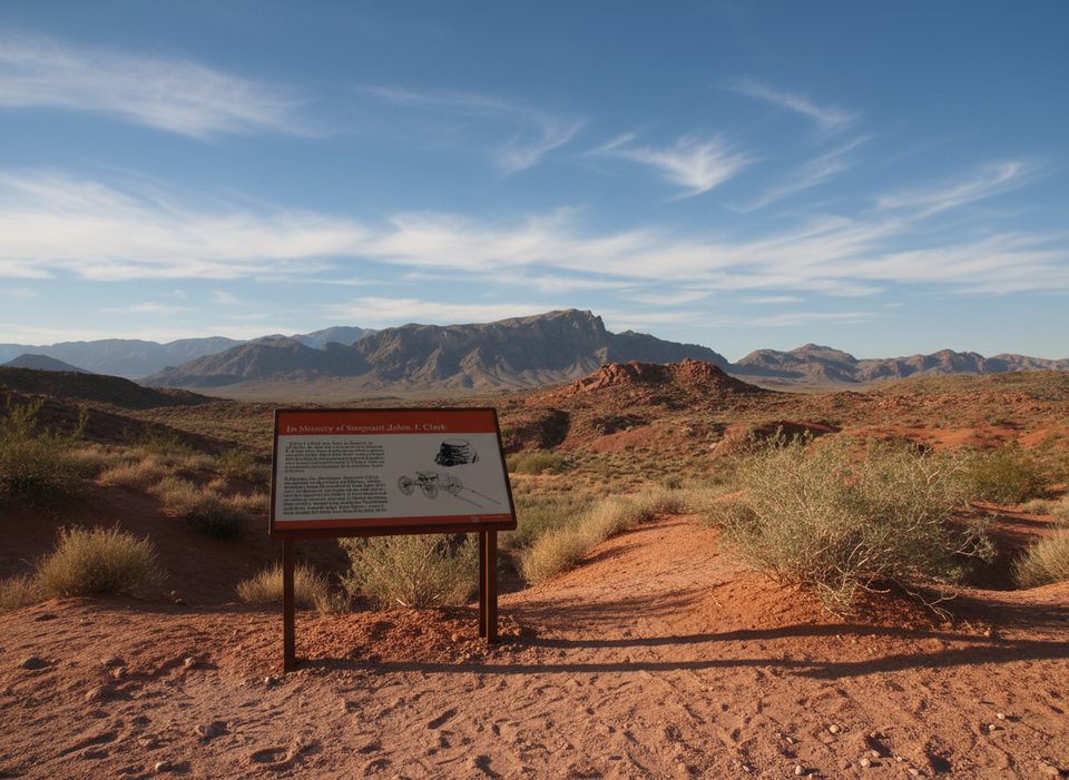
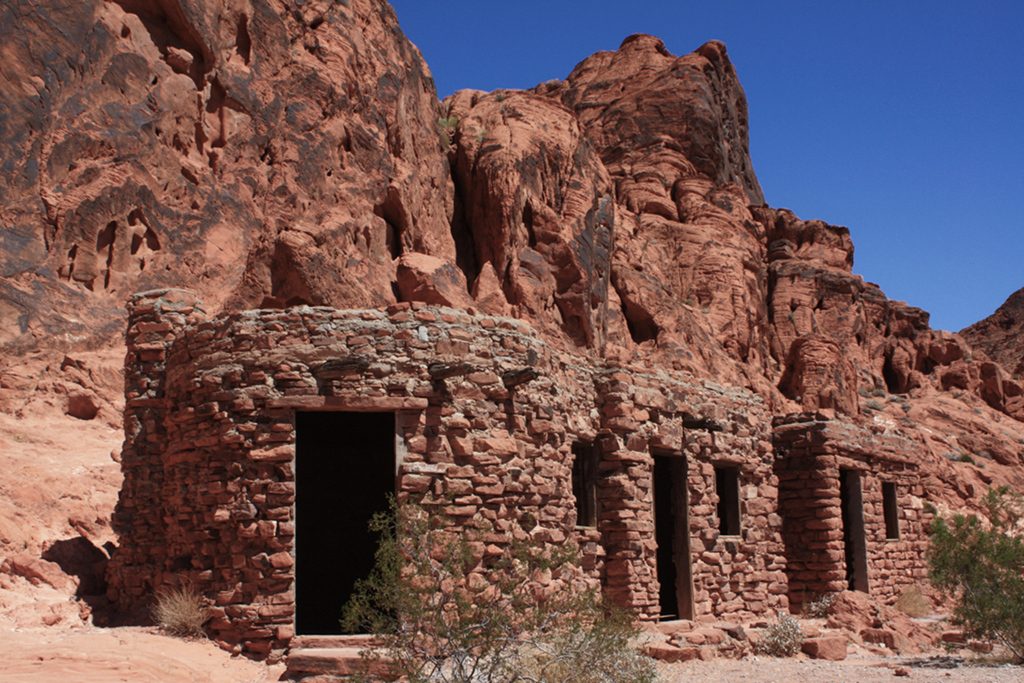
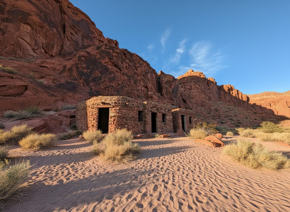
On the west end, the trail starts just beyond the West Entrance and runs east to link up with the Elephant Rock Loop. Keep an eye out for preserved early‑1900s tire ruts—desert time capsules from the automobile’s early days. From higher points you’ll get broad views across Valley of Fire and toward the Overton Arm of Lake Mead. CCC‑built sandstone cabins sit nearby (not directly on the route), adding another layer to the park’s story.
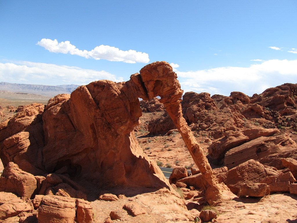
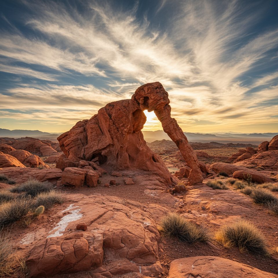
This is a functional cross‑park corridor more than a red‑rock showcase. You’ll skirt the edge of the park’s flashiest formations rather than weave through them. If you want dramatic rock wandering in a shorter dose, the Elephant Rock Loop is right at the east end. Planning a bigger day that links multiple zones? Arrowhead makes a solid backbone.
October through April. The trail is closed May 15–September 30 due to dangerous heat. Go early or late in the day for cooler temps and for the sandstone’s color pop at sunrise/sunset. Weekdays are reliably quiet.
Park at either end: near the West Entrance for a west start, or at the Elephant Rock Loop area on the east end.
Trail is closed May 15–September 30 due to heat. Minimal shade, bring ample water and navigation—losing the route in washes can lead you far from the intended corridor.
Place · 0.1 mi away
Place · 0.2 mi away
Place · 0.4 mi away
Place · 0.8 mi away
Moderate · 0.2 mi away
Easy · 0.5 mi away
Easy · 0.8 mi away
Easy · 2.6 mi away

Parkwolf Tour Guide
