Pros & cons
PROS
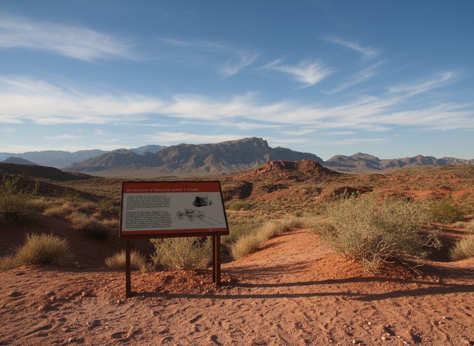
- Interpretive signs make the quick stop feel meaningful, not just a photo op
- Shaded picnic tables and restrooms right at the site
- A reliable, short stop even when other trails face heat-related restrictions
CONS
- More a roadside stroll than a true hike
- Sandy, uneven surface limits wheelchair accessibility
- No cabin rentals or camping despite the name
Signed pullout for Historic Cabins along Valley of Fire Highway; the cabins are a very short walk from the lot.
Extreme heat in warmer months; bring water and limit mid-day visits. Uneven sand and dirt surfaces. Day-use only—no rentals or camping in the cabins.
What to expect
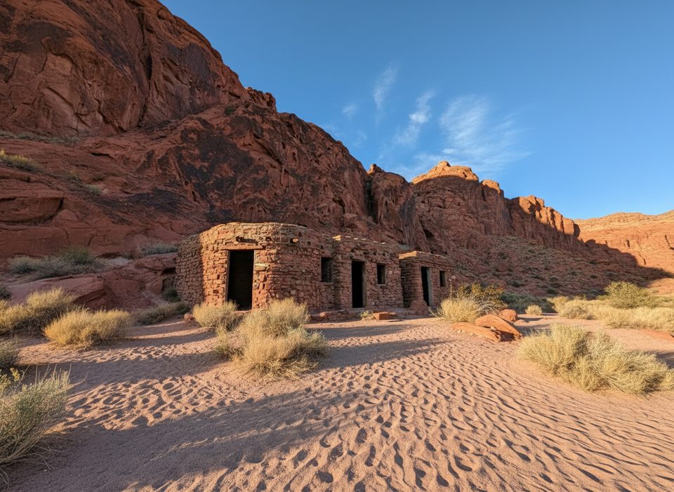
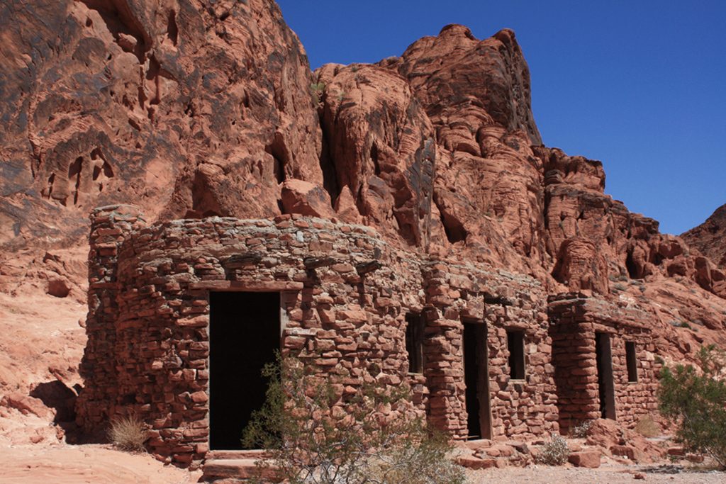
This is more roadside stop than hike—a very short, flat stroll from a small parking pullout to the Historic Cabins built by the Civilian Conservation Corps in the 1930s. You can step inside the rustic sandstone rooms, read the on-site interpretive signs, and soak up the red-rock backdrop that makes Valley of Fire famous.
Plan on roughly 0.2 miles total (out and back) and 5–10 minutes of walking, plus however long you want to poke around. The path is hard-packed dirt and sand with negligible elevation. It’s suitable for all ages, but the surface can be uneven.
Why go
The cabins are photogenic and grounded in park history. Picnic tables and basic restrooms make this an easy mid-day break while you tour the park’s other sights. Keep an eye on the surrounding slopes—you might spot lizards, and desert bighorn sheep are occasionally seen in the area.
Need to know
- Facilities: picnic tables, primitive restrooms, trash receptacle, and interpretive signs at the site.
- No rentals or camping: these are historic structures and day-use only.
- Trail type: short out-and-back from the “Historic Cabins” parking area.
Tips
- Come early or late for softer light on the red sandstone.
- Bring water and use the shaded picnic area for a breather between longer stops.
- Surfaces are sandy/uneven in spots; wheelchair access is limited.
Best time to visit
Open year-round, but October–April is the sweet spot for cooler temps and pleasant exploring. Summer heat is intense; plan very short stops, carry plenty of water, and use shade. Even when some other park hikes face seasonal heat-related restrictions, this stop generally remains accessible.
Where it starts
36.4302, -114.4815Wildlife on this trail
Near Cabins Trail
All places →All trails →
0 mi awayThe Cabins1930s stone shelters with petroglyphs, shade, and desert viewsParking · Restroom
0.7 mi awayCharlie's Spring TrailQuiet wash to oasis ramble with red rock narrows and solitudeModerate · 4.6 mi · 3 hr
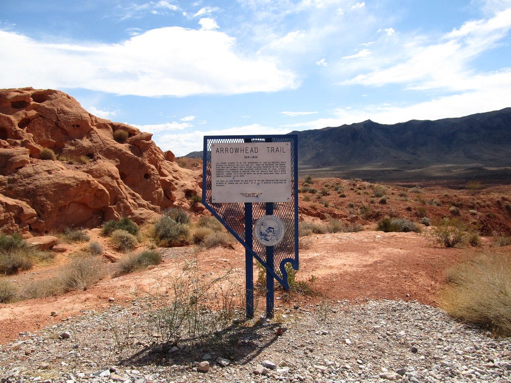
0.8 mi awayCaptain John J Clark Memorial MonumentA stark desert cross honoring a 1915 tragedy along Arrowhead TrailScenic Viewpoint
0.8 mi awayArrowhead TrailHistoric cross-park traverse with solitude and big desert viewsModerate · 6.8 mi · 4 hr
0.9 mi awayCharlie's SpringRemote desert oasis at the end of a rugged, sandy washScenic Viewpoint
1.1 mi awaySeven Sisters Picnic AreaRoadside red rock towers with shaded picnic shelters and easy photosPicnic Table · Restroom
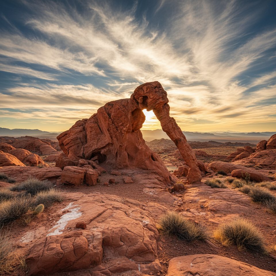
1.3 mi awayElephant Rock LoopQuick, photogenic loop featuring the iconic elephant shaped archEasy · 1.2 mi · 45 min
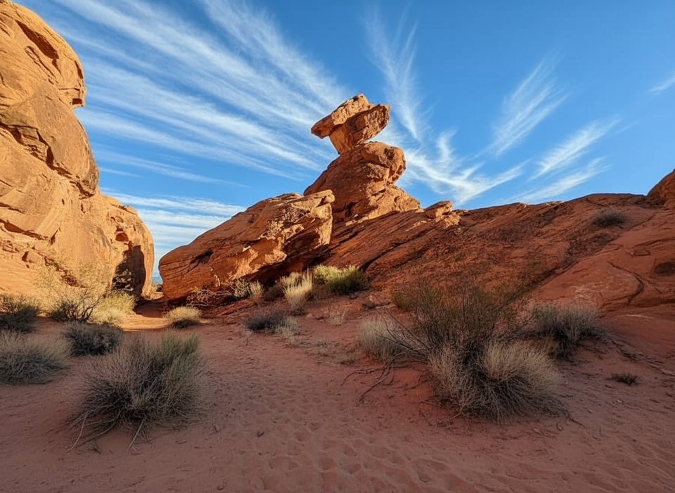
1.8 mi awayBalancing Rock TrailQuick stroll to a photogenic balancing rock beside the Visitor Center.Easy · 0.3 mi · 15 min