Charlie's Spring Trail in Valley of Fire State Park

Valley of Fire State Park, NV

Charlie's Spring Trail

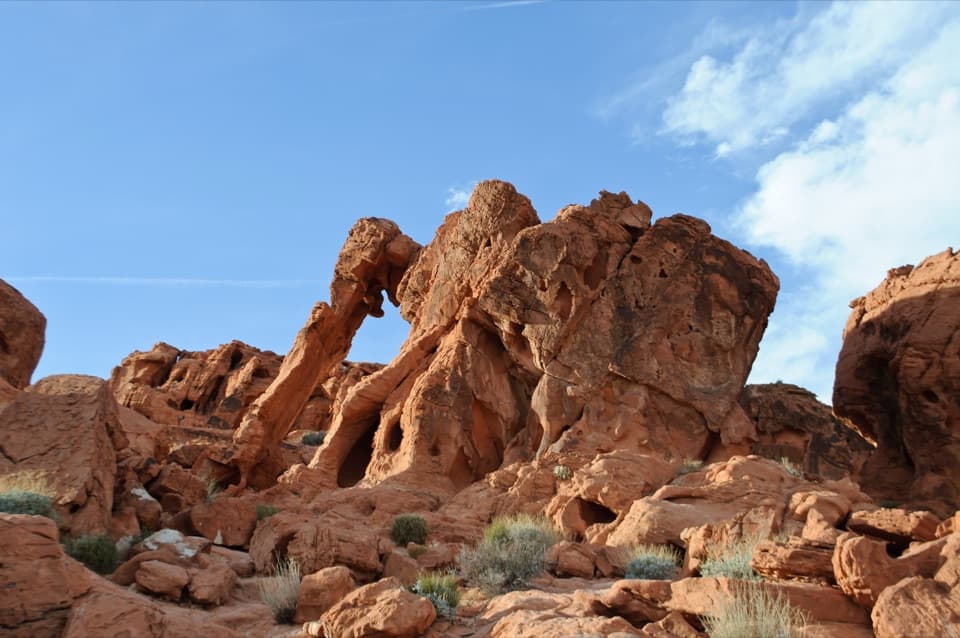
A sandy wash ends at a small, palm-dotted spring in red rock.

Length
5mi
Time
3.5hr
Elev. change
151ft
Difficulty
Moderate
  • Dogs allowed
  • High point 1,696 ft

Hear the audio tour

Natural Arch Trail: Look for the Small Windows

Overview

About Charlie's Spring Trail

Why go

  • A pocket of palms and pools at the end of a red-rock wash

Heads up

  • Unmarked footing and a 15-foot ledge require route-finding and scrambling

Map & elevation

The route

Loading the Valley of Fire map
Full map
Elevation1,545–1,696 ft
TrailheadCharlie's Spring Trailhead (Clark Memorial Wash Crossing)36.42618, -114.47041
Keep this map with you offline in the Parkwolf app

Plan your hike

Before you go

Parking

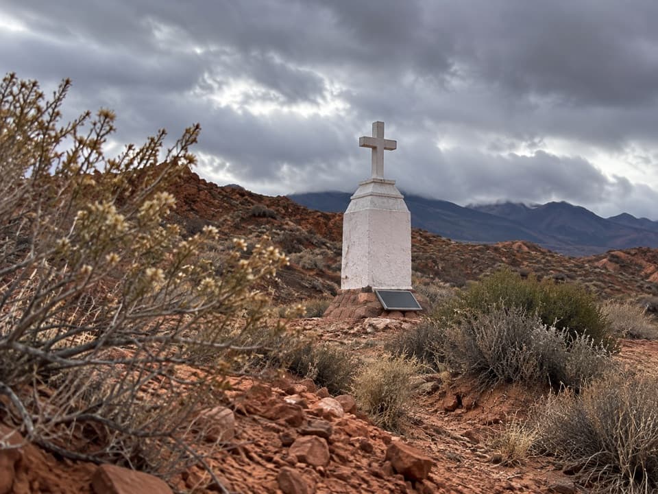
Use the designated pull-off at the wash crossing by Captain John J. Clark Memorial, about three-quarters of a mile west of the East Entrance. It is across Valley of Fire Highway from the Natural Arch parking area; do not park on the road shoulder.

Safety

The unmarked wash has loose sand and rock; a roughly 15-foot ledge into the narrows requires a hands-and-feet scramble. The spring is not dependable water. The park closes this trail each year May 15–September 30 and advises against hiking above 85°F (29°C).

2 active Valley of Fire alerts

  • ClosureWest Entrance closed Monday–ThursdayThe West Entrance is closed Monday through Thursday for construction; enter through the East Entrance via State Route 169 or State Route 167.Official details
  • ClosurePark closed December 1–14 for maintenanceValley of Fire State Park will be closed to all public visitation December 1–14, 2026, for annual maintenance; normal visitation resumes December 15.Official details
Valley of Fire alerts
A park ranger sits on a dash-mounted phone, talking, as Parkwolf’s Tour Guide plays “Army Cutworm Moths: A Grizzly Bear Buffet” on Grand Loop Road below Dunraven Pass in Yellowstone
Parkwolf Tour GuideThe highest, rockiest slopes around here are a summer buffet for grizzly bears.

Valley of Fire Tour Guide

Your drive to Charlie's Spring Trail, narrated.

Parkwolf is a GPS audio tour guide for Valley of Fire State Park. As you drive, it chimes in with what’s ahead: hidden gems, upcoming stops, history, geology, and wildlife, right through your car’s speakers.

See the Valley of Fire audio tour

Recorded for this trailhead

Natural Arch Trail: Look for the Small Windows
0:00 / 0:26
“You're nearing the Natural Arch trailhead, where a sandy canyon walk leads past small windows high in the rock walls. The original namesake arch has collapsed, so choose this for the canyon rather than one big arch.”

Plays as you drive up to this trailhead in the Parkwolf Valley of Fire Tour Guide.

More stories near here in the app

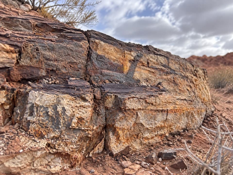
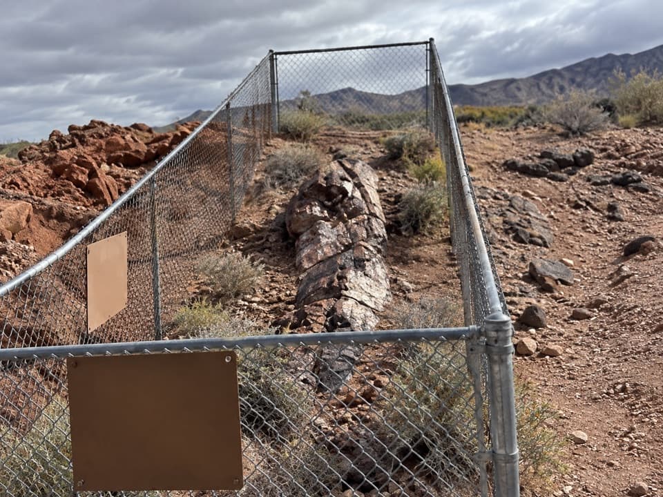
  • East Petrified Log: One Trunk, a Short Stop
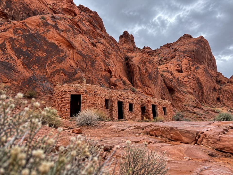
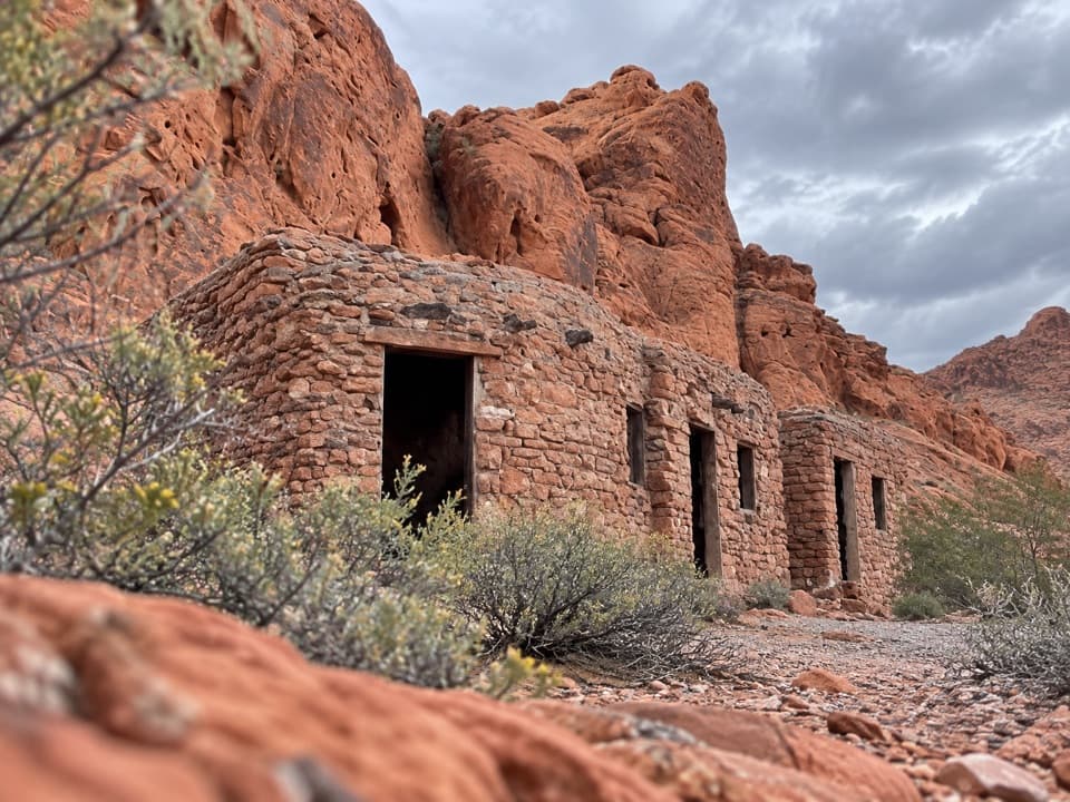
  • Historic Cabins: Sandstone Shelters
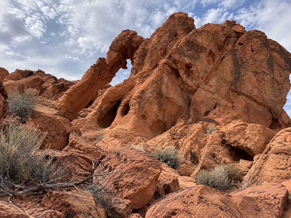
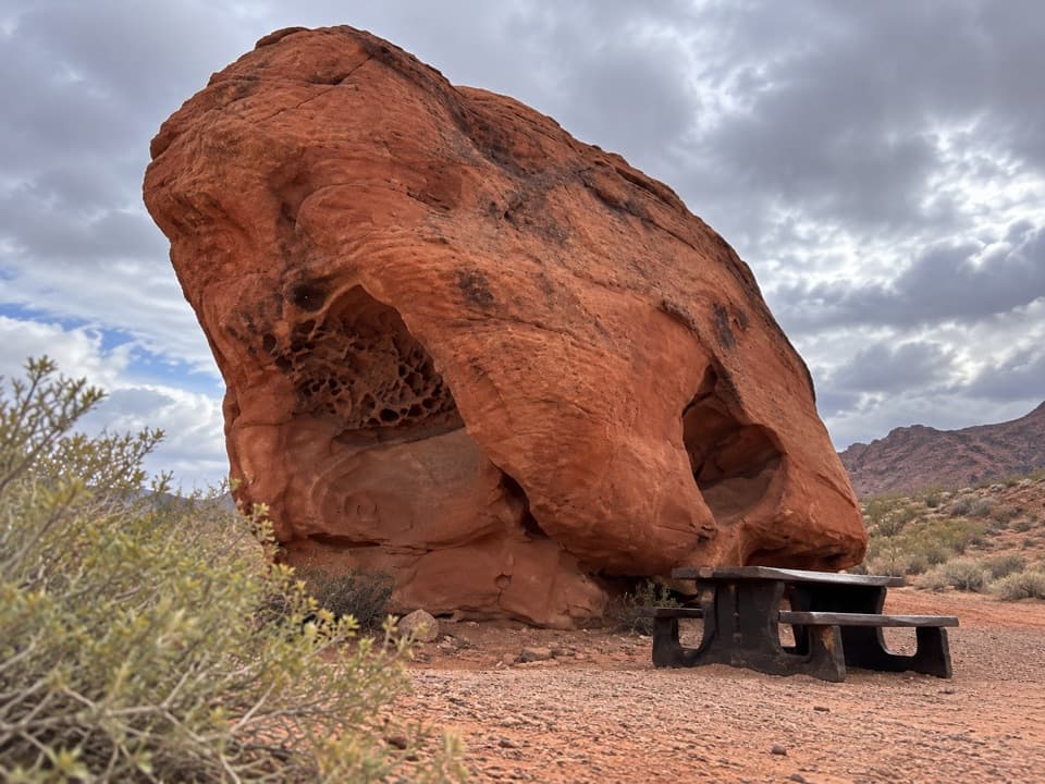
  • Elephant Rock: Find the Silhouette
  • Brittlebush’s Silvery Leaves
  • 34 audio storiesacross Valley of Fire’s roads, triggered by GPS as you drive
  • Wildlife heatmapsfor Bighorn Sheep, Mojave Desert Tortoise, Sidewinder, and 13 more
  • Works offlinemaps, 23 trails, 28 places, and audio download before you lose signal
  • CarPlay readysimple controls built for the drive
★★★★★
“Fantastic app with many points of information… It’s great to just turn on while you’re driving and it gives you an audio tour of the national Park. We love it!!!!”
JMJamesApp Store review
Download Parkwolf on the App StoreGet Parkwolf on Google Play

4.7 from 8,600+ ratings

Trail guide

Hiking Charlie's Spring Trail

The walk and its payoffCharlie’s Spring Trail is an unmarked, about 5-mile out-and-back from the wash crossing beside…

Charlie’s Spring Trail is an unmarked, about 5-mile out-and-back from the wash crossing beside the Clark memorial to a small spring among red sandstone. Allow about 3½ hours for loose footing and a hands-on scramble. I’d choose it for the change from open desert to a green canyon pocket, not for a smooth marked trail.

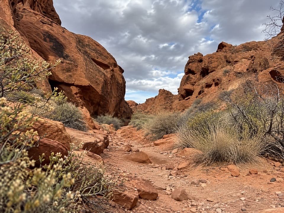
Follow the washThe route begins in a broad wash of loose sand, gravel and stones.

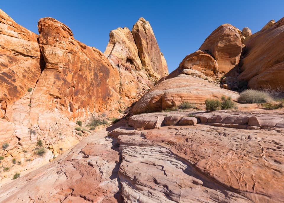
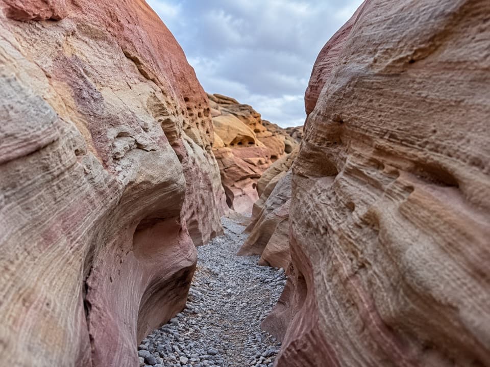
The route begins in a broad wash of loose sand, gravel and stones. Keep with the main drainage as the canyon closes around you. A roughly 15-foot ledge is the entrance to about a quarter-mile of red sandstone narrows; descending it takes hands and feet. The walls overhang in spots, then the wash gradually widens near the spring. The return follows the same corridor, so you repeat the sandy approach.

A small oasisThe spring is a dense patch of shrubs, one prominent fan palm and smaller palms, shallow pools…

The spring is a dense patch of shrubs, one prominent fan palm and smaller palms, shallow pools and a short stream. Water can disappear into the sand, so don’t count on a reliable refill. The best view is the sudden contrast: green palms and pools tucked below red canyon walls. If water is flowing, frame the palms and pool with the sandstone.

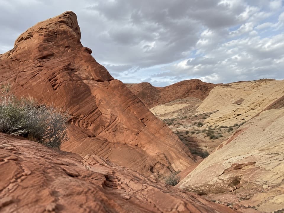
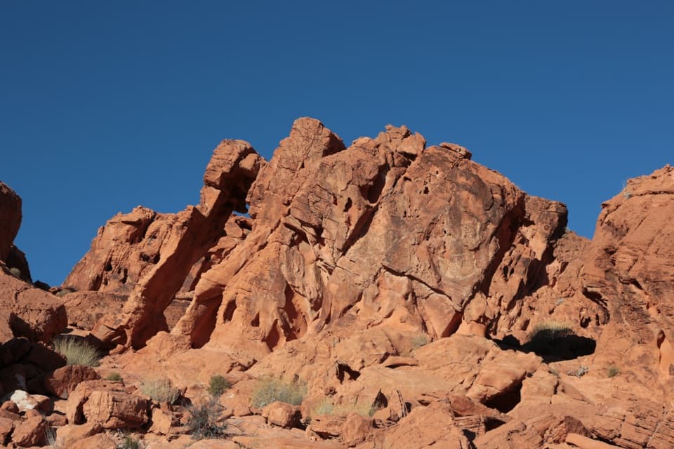
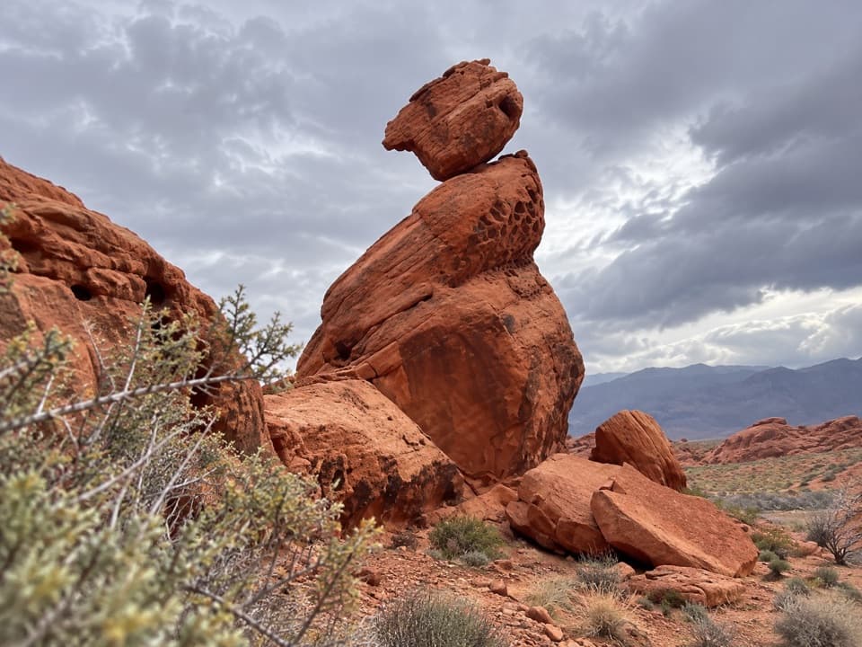
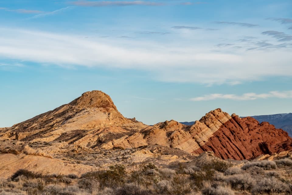
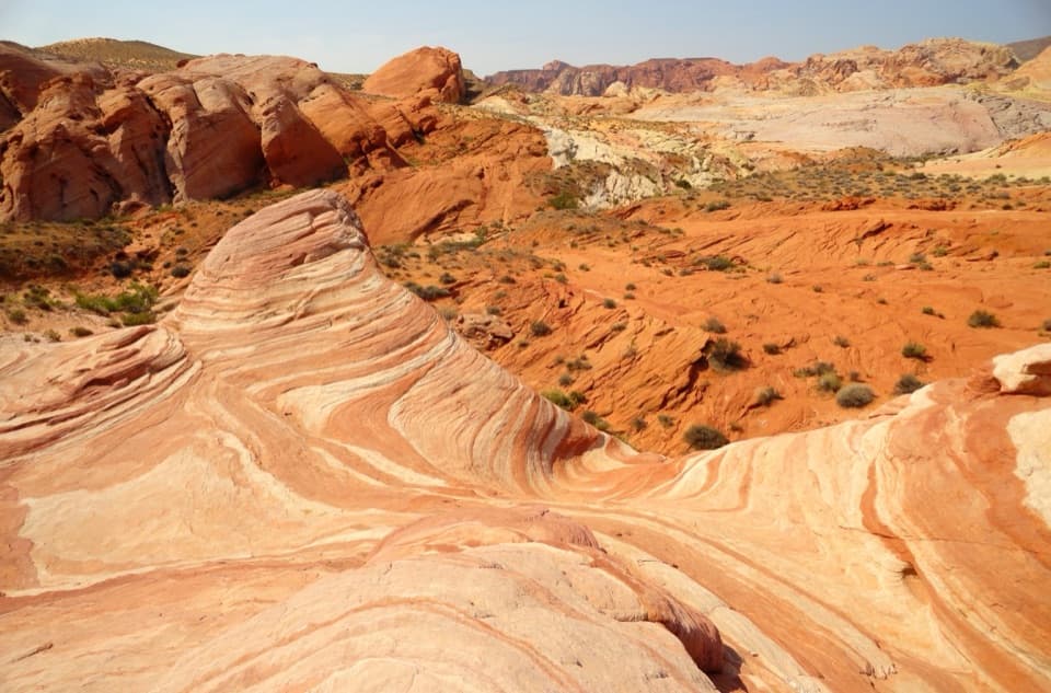
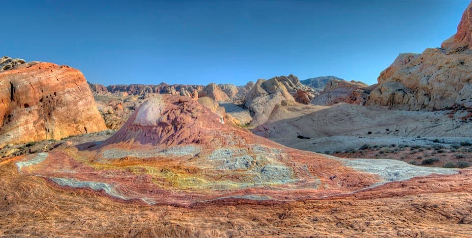
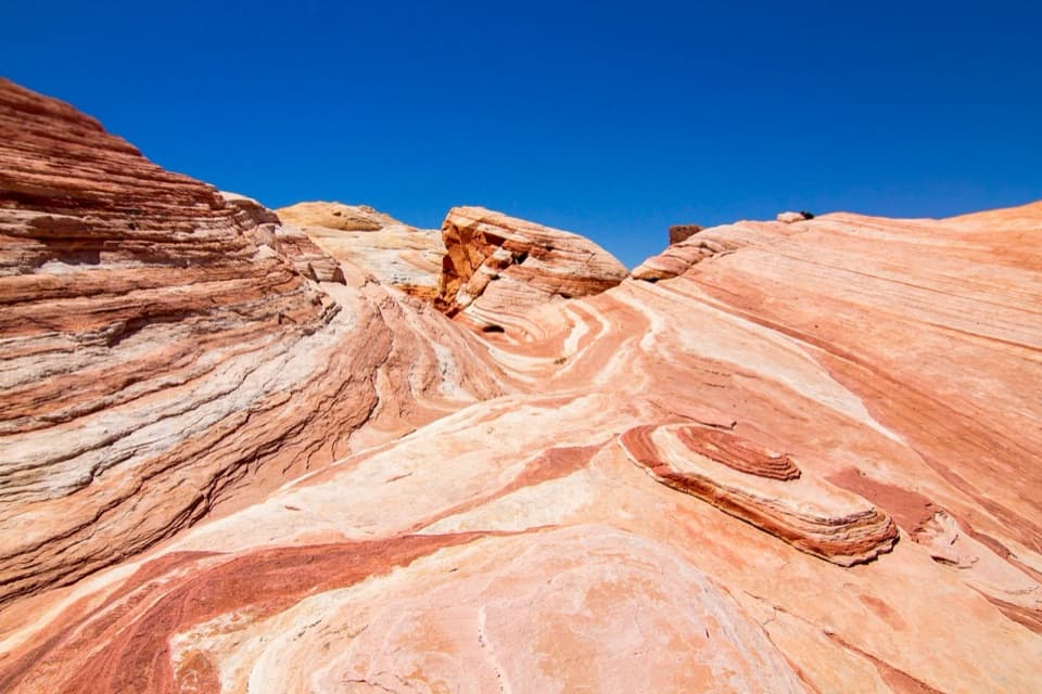
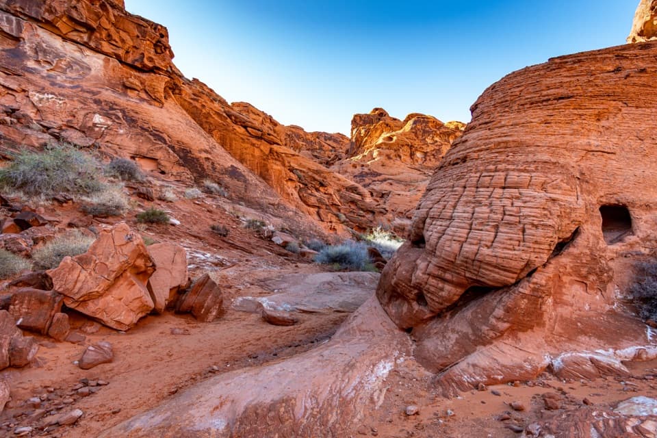
Sandstone and the Clark memorialThese red walls are Aztec sandstone, formed from dunes about 150 million years ago.

These red walls are Aztec sandstone, formed from dunes about 150 million years ago. Near the start, a memorial marks Captain John J. Clark, a Civil War veteran linked to the Arrowhead Trail. The walk gives you a small piece of local road history and a close look at the rock that gives this part of the park its color.

Heat, access and dogsThis is a rough, unmarked wash rather than a maintained trail.

This is a rough, unmarked wash rather than a maintained trail. The ledge is the main technical move, and footing shifts between sand and stones. The park closes this route each year from May 15 through September 30 and advises against hiking above 85°F (29°C). Dogs are allowed on a leash no longer than six feet.

Wildlife

Wildlife in Valley of Fire

All Valley of Fire wildlife maps

Sighting maps show where each species has been reported across Valley of Fire. Wildlife moves, so no sighting is guaranteed.

Keep exploring

Near Charlie's Spring Trail

See it all on the map

Trails that start nearby

Places near the trailhead

Parkwolf’s Valley of Fire ranking

Top-rated trails in Valley of Fire

All 23 trails
  1. 1Fire Wave TrailEasy · 1.4 mi
  2. 2White Domes LoopModerate · 1.1 mi
  3. 3Fire Wave/7 Wonders Loop TrailModerate · 1.8 mi
  4. 4Fire Wave, White Domes and Seven Wonders LoopModerate · 3.8 mi
  5. 5Mouse’s Tank TrailEasy · 0.7 mi
  6. 6Pink/Pastel Canyon TrailModerate · 1.6 mi

Take Parkwolf to Valley of Fire.

The audio tour guide for the drive, plus offline maps, trails, and wildlife heatmaps for when the signal drops.

4.7 from 8,600+ ratings

Download Parkwolf on the App StoreGet Parkwolf on Google Play