
Place · 0 mi away
Easy
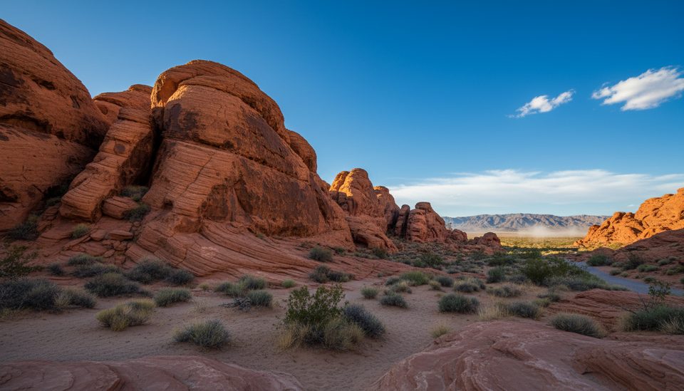
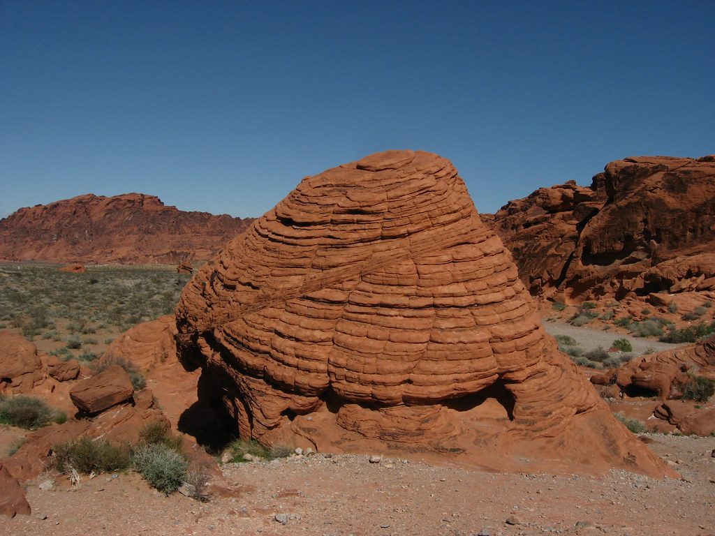
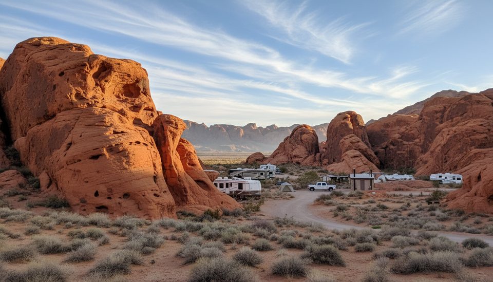
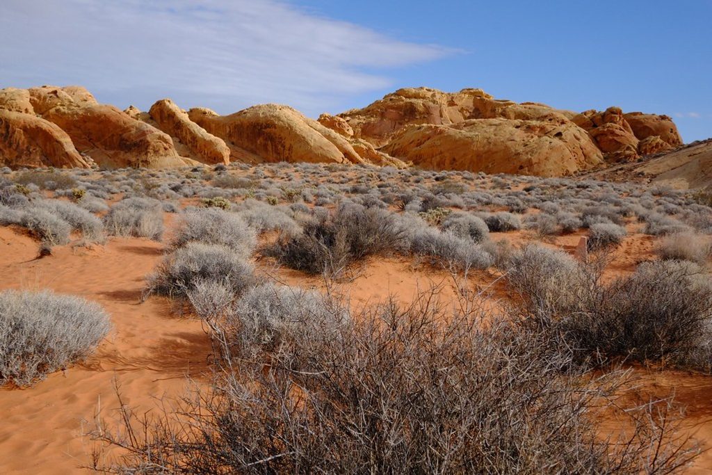
Large, conical sandstone domes banded with colorful cross‑bedded layers—the kind of textbook geology you rarely get this close to. The beehive shapes formed as wind and water sculpted ancient Aztec Sandstone, leaving grooves and angled stripes that record shifting winds and currents over time. Expect intense reds and oranges against big desert sky—great for photography.
There isn’t an official, signed trail here. It’s a short, self‑guided wander among the formations on sand and slickrock. Most people spend 5–30 minutes exploring and snapping photos. If you want a number, the informal loop around the closest domes is roughly 0.2 miles total with negligible elevation. Surfaces are uneven and sandy, so it’s not stroller or wheelchair friendly, but the formations are visible right from the parking area. There’s an info kiosk and plenty of room to roam; no restrooms at this stop.
Late fall through early spring is the sweet spot—cooler temps make lingering enjoyable. Summer heat is intense and not recommended for extended wandering. For photos, hit sunrise or late afternoon when low angle light pops the rock’s color and shadows. It can feel busy at peak hours and on weekends simply because it’s right off the road.
Dedicated dirt parking area directly beside the formations along Valley of Fire Highway near the west entrance; info kiosk on site; no restrooms.
Extreme summer heat, uneven rock and soft sand, little to no cell service. Keep pets leashed and respect posted guidance; drones are prohibited.
Place · 0 mi away
Place · 0.4 mi away
Place · 0.4 mi away
Place · 0.6 mi away
Easy · 0.7 mi away
Moderate · 1 mi away
Easy · 2.2 mi away
Easy · 3.1 mi away

Parkwolf Tour Guide
