Prospect Trail in Valley of Fire State Park

#10 of 23 trails in Valley of Fire

Valley of Fire State Park, NV

Prospect Trail

An open cross-park hike over a red-rock pass into a striped wash.

Length
4.6mi
Time
3.3hr
Elev. change
453ft
Difficulty
Moderate
  • Dogs allowed
  • High point 2,369 ft

Hear the audio tour

Prospect Trail: Plan for a One-Way Hike

Overview

About Prospect Trail

Why go

  • A changing route from the pass panorama into the red-and-white north wash.
  • Views reach Fire Canyon and the southern sandstone landmarks.

Heads up

  • Point-to-point logistics need a pickup at the far end or a long return.
  • Loose sand and branching washes make navigation slower than the distance suggests.

Map & elevation

The route

Loading the Valley of Fire map
Full map
Elevation1,916–2,369 ft
TrailheadProspect Trail Trailhead (South Pullout)36.42620, -114.54046
Keep this map with you offline in the Parkwolf app

Plan your hike

Before you go

Parking

Start at the Prospect Trail south pullout on Valley of Fire Road, just past the Atlatl Rock and Arch Rock turnoff; its small sign is easy to miss. The route ends at the White Domes Loop junction, not the north parking lot. Arrange a pickup at White Domes and allow extra walking from the junction to the lot; park only in designated areas.

Safety

Rough sandstone, loose cobbles and sand, short rock steps and branching wash channels make footing and route-finding the main challenges. No drinking-water stop is documented on the route. The park advises against hiking above 85°F / 29°C.

2 active Valley of Fire alerts

  • ClosureWest Entrance closed Monday–ThursdayThe West Entrance is closed Monday through Thursday for construction; enter through the East Entrance via State Route 169 or State Route 167.Official details
  • ClosurePark closed December 1–14 for maintenanceValley of Fire State Park will be closed to all public visitation December 1–14, 2026, for annual maintenance; normal visitation resumes December 15.Official details
Valley of Fire alerts
A park ranger sits on a dash-mounted phone, talking, as Parkwolf’s Tour Guide plays “Army Cutworm Moths: A Grizzly Bear Buffet” on Grand Loop Road below Dunraven Pass in Yellowstone
Parkwolf Tour GuideThe highest, rockiest slopes around here are a summer buffet for grizzly bears.

Valley of Fire Tour Guide

Your drive to Prospect Trail, narrated.

Parkwolf is a GPS audio tour guide for Valley of Fire State Park. As you drive, it chimes in with what’s ahead: hidden gems, upcoming stops, history, geology, and wildlife, right through your car’s speakers.

See the Valley of Fire audio tour

Recorded for this trailhead

Prospect Trail: Plan for a One-Way Hike
0:00 / 0:30
“You're approaching the south trailhead for Prospect Trail, a longer hike over a sandstone pass and into a red-and-white canyon wash.”

Plays as you drive up to this trailhead in the Parkwolf Valley of Fire Tour Guide.

More stories near here in the app

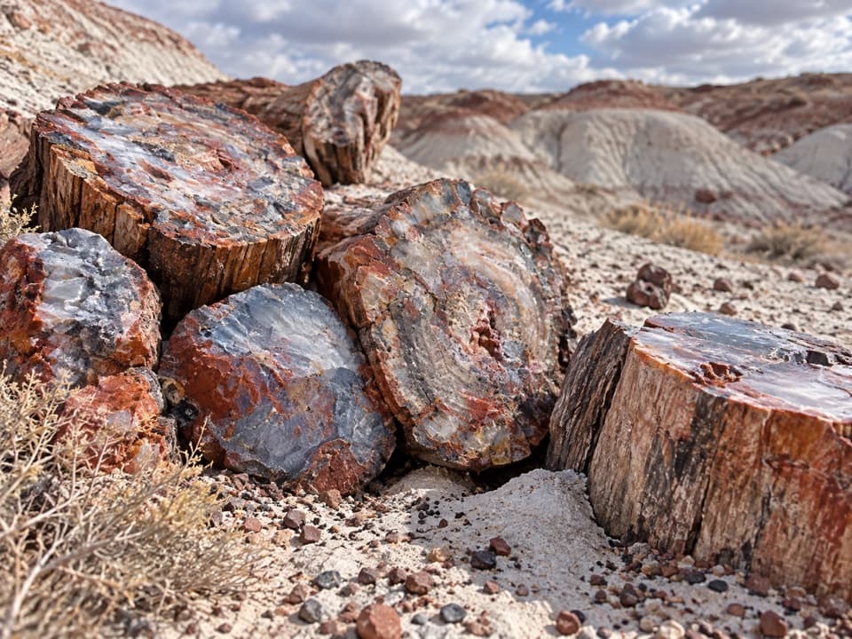
  • Petrified Logs: Keep Walking Past the First Display
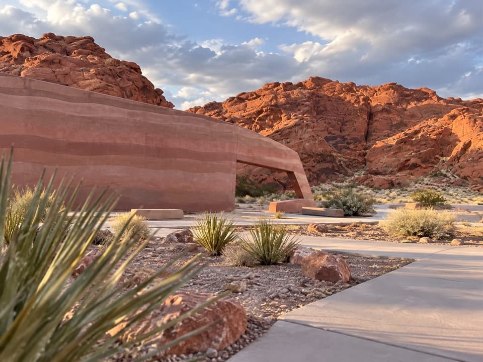
  • Valley of Fire Visitor Center: Inside the Layers
  • Atlatl Rock: The Petroglyph Platform
  • Arch Rock: A Quick Scenic Loop Stop
  • 34 audio storiesacross Valley of Fire’s roads, triggered by GPS as you drive
  • Wildlife heatmapsfor Bighorn Sheep, Mojave Desert Tortoise, Sidewinder, and 13 more
  • Works offlinemaps, 23 trails, 28 places, and audio download before you lose signal
  • CarPlay readysimple controls built for the drive
★★★★★
“Fantastic app with many points of information… It’s great to just turn on while you’re driving and it gives you an audio tour of the national Park. We love it!!!!”
JMJamesApp Store review
Download Parkwolf on the App StoreGet Parkwolf on Google Play

4.7 from 8,600+ ratings

Trail guide

Hiking Prospect Trail

The cross-park routeProspect Trail is a 4.

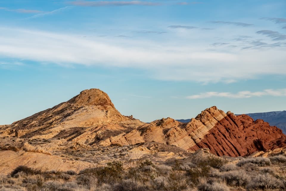
Prospect Trail is a 4.6-mile one-way hike from the small south pullout on Valley of Fire Road to the White Domes Loop junction. It climbs over a sandstone pass, then descends through a winding wash into the red-and-white rock near White Domes. This is a good pick if you want a quieter, longer walk with a big view from the pass and changing rock underfoot. Walk south to north if you can arrange a pickup; allow about three to four hours, including stops but not the shuttle.

Use 4.6 miles as the rounded one-way figure. The connected mapped line to the junction is about 4.7 miles, while one route report says the sign at White Domes reads 5.5. The discrepancy isn't explained, so leave a little buffer if you're timing a pickup.

From the pullout to the passThe south trailhead is a small gravel pullout just past the Atlatl Rock and Arch Rock turnoff.

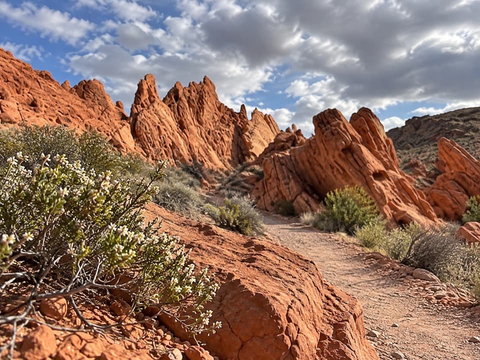
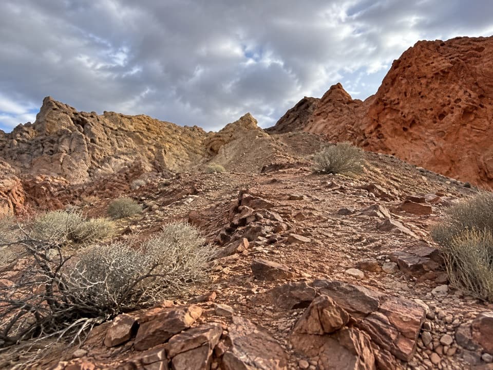
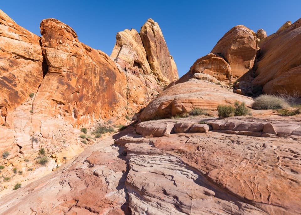
The south trailhead is a small gravel pullout just past the Atlatl Rock and Arch Rock turnoff. The sign is easy to miss. You begin on a graded gravel access road; about a quarter mile in, it bends right. Leave it and continue straight at the small marker onto an old, washed-out road climbing toward the pass. The first mile gains roughly 300 to 500 feet, then the route reaches slickrock and red formations.

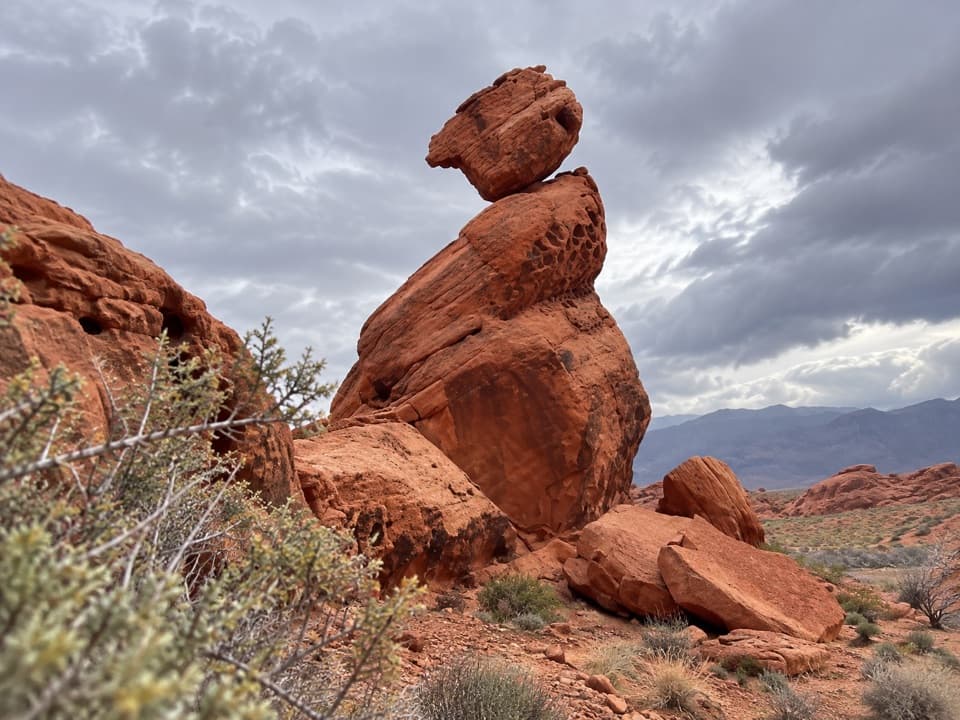
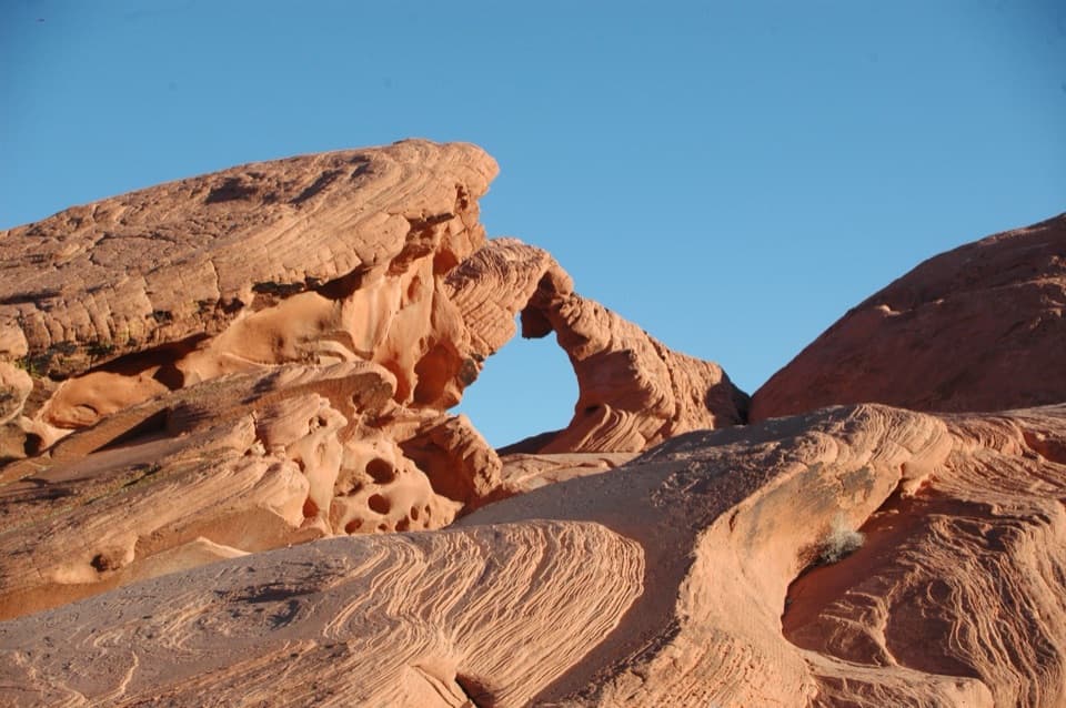
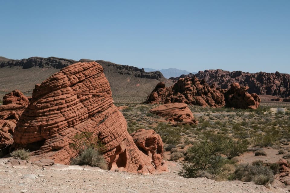
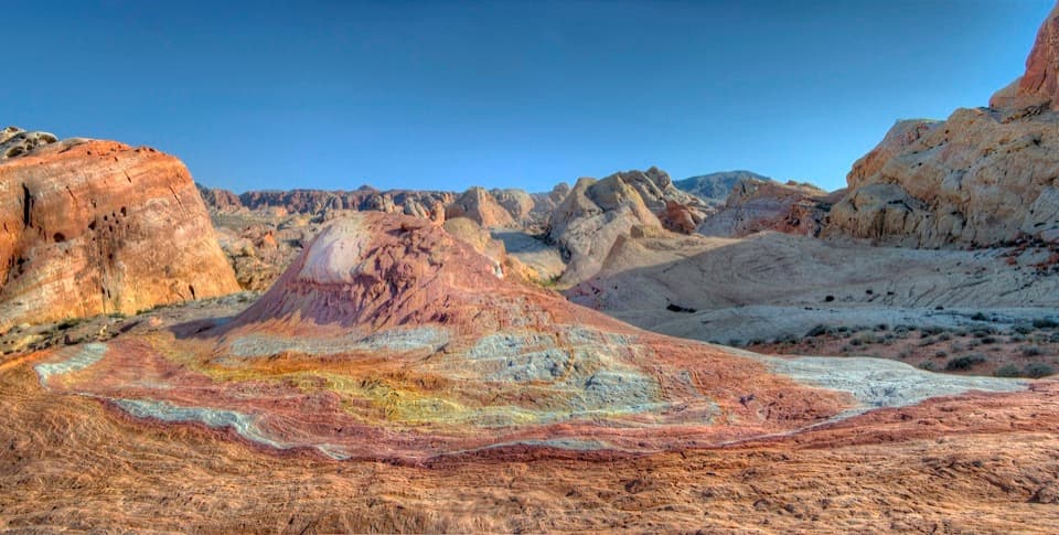
At the high point, stop and look both ways. Fire Canyon opens to the northwest; turn around for Atlatl Rock, Arch Rock and the Beehives to the southeast. The red Aztec sandstone began as windblown dunes, and the gray and tan limestone hills make the red bands stand out.

Down the northern washPast the pass, the route drops into a canyon wash.

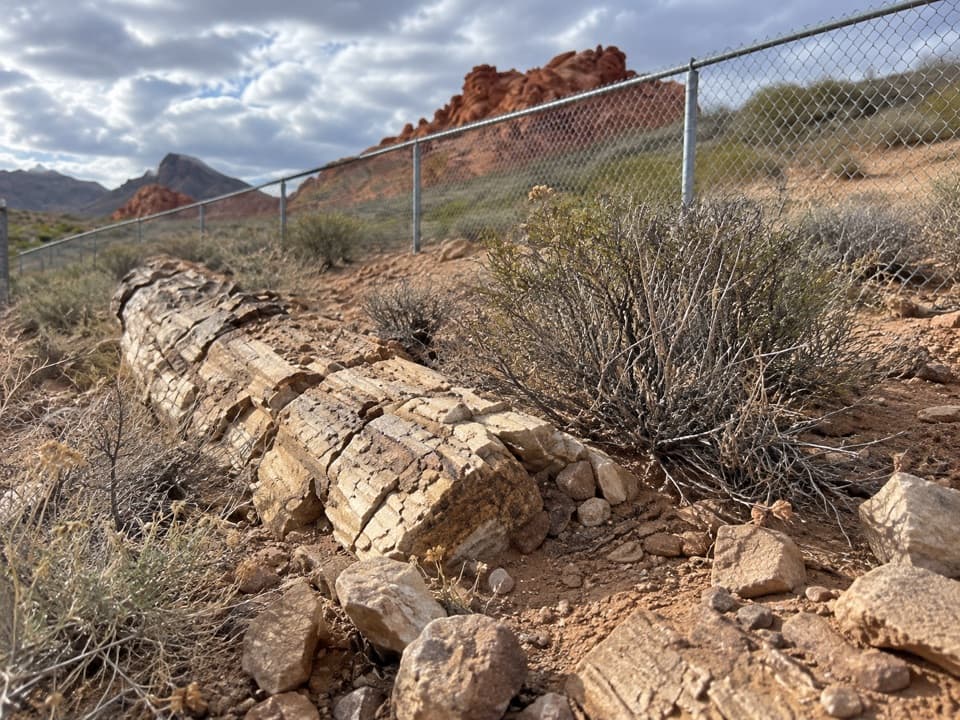
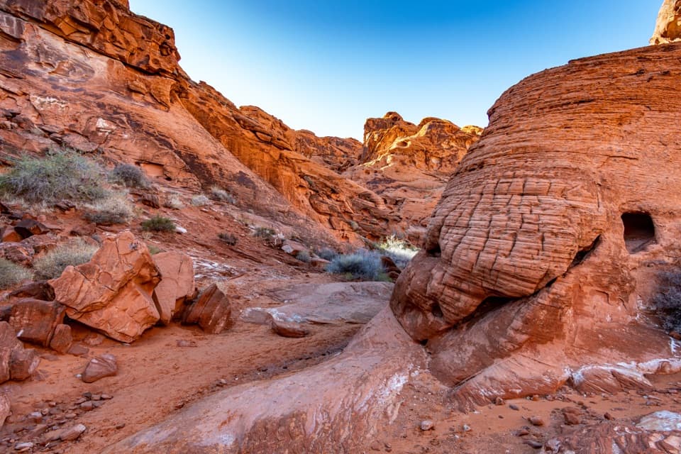
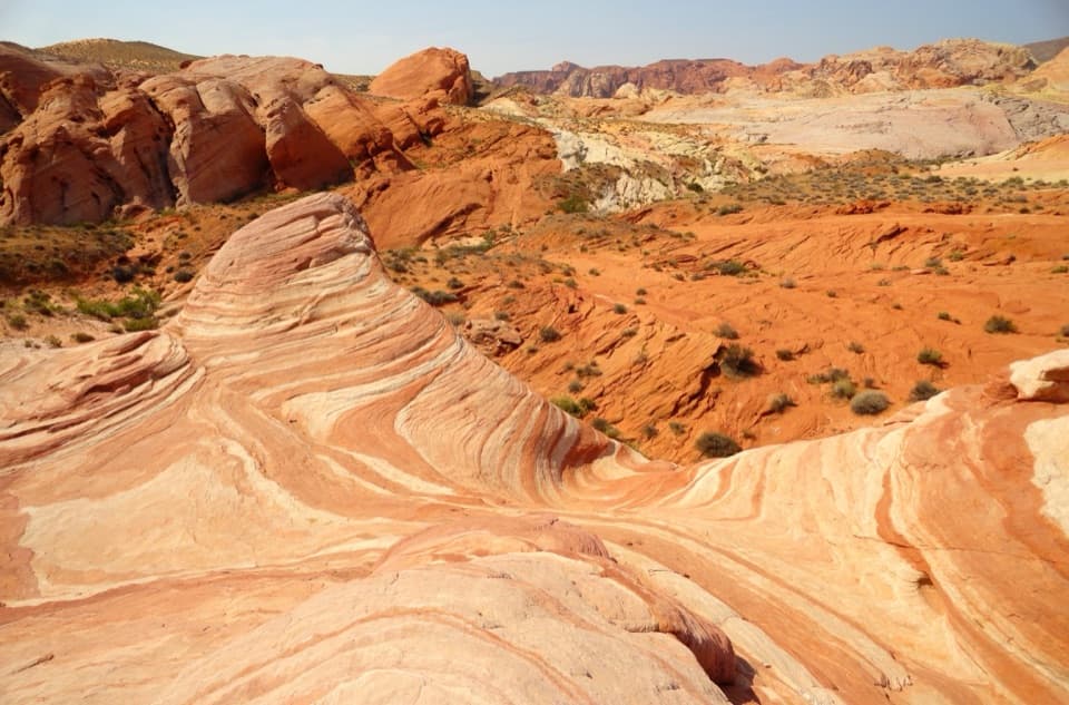
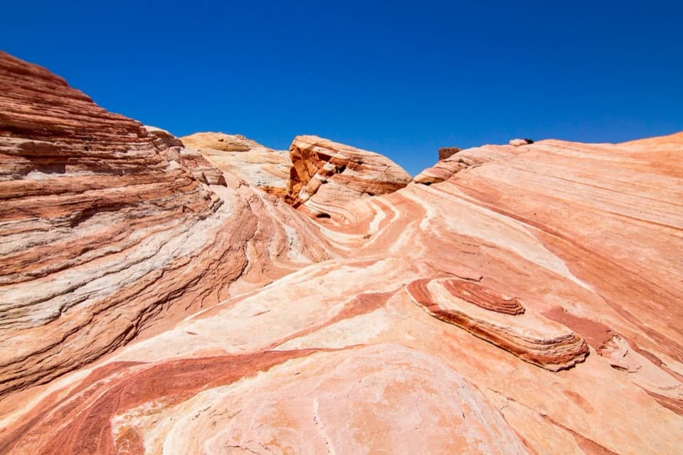
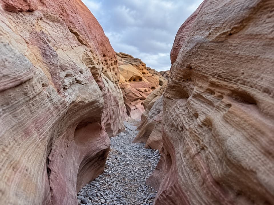
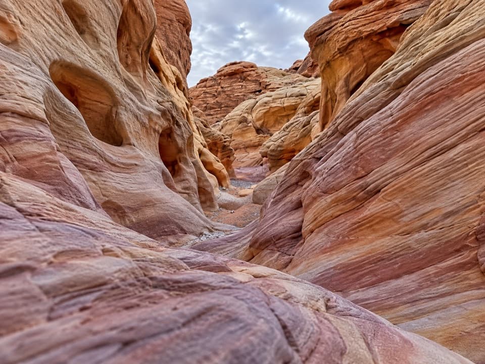
Past the pass, the route drops into a canyon wash. Expect uneven sandstone, cobbles and loose sand, with short rock steps and one marked climb above a drop-off. Several wash channels split; keep an eye out for the small markers where the route bends or climbs out. Near the White Domes end, the rock takes on striking red-and-white stripes, with small windows and arch shapes along the way.

Prospect Trail ends at its junction with White Domes Loop. The loop's slot canyon and old movie-set remains are a separate continuation, not part of the 4.6-mile Prospect distance.

Arrange both endsThis is point-to-point, not a loop.

This is point-to-point, not a loop. Leave a second vehicle at the White Domes parking area, or turn back and walk the route in both directions. The north junction is on White Domes Loop, so allow extra walking to reach the lot; restrooms are listed at White Domes. If you want a shorter walk from that end, the separate White Domes Loop is 1.1 miles. Dogs are allowed on leashes no longer than six feet.

Wildlife

Wildlife in Valley of Fire

All Valley of Fire wildlife maps

Sighting maps show where each species has been reported across Valley of Fire. Wildlife moves, so no sighting is guaranteed.

Keep exploring

Near Prospect Trail

See it all on the map

Trails that start nearby

Places near the trailhead

Parkwolf’s Valley of Fire ranking

Top-rated trails in Valley of Fire

All 23 trails
  1. 1Fire Wave TrailEasy · 1.4 mi
  2. 2White Domes LoopModerate · 1.1 mi
  3. 3Fire Wave/7 Wonders Loop TrailModerate · 1.8 mi
  4. 4Fire Wave, White Domes and Seven Wonders LoopModerate · 3.8 mi
  5. 5Mouse’s Tank TrailEasy · 0.7 mi
  6. 6Pink/Pastel Canyon TrailModerate · 1.6 mi

Take Parkwolf to Valley of Fire.

The audio tour guide for the drive, plus offline maps, trails, and wildlife heatmaps for when the signal drops.

4.7 from 8,600+ ratings

Download Parkwolf on the App StoreGet Parkwolf on Google Play