
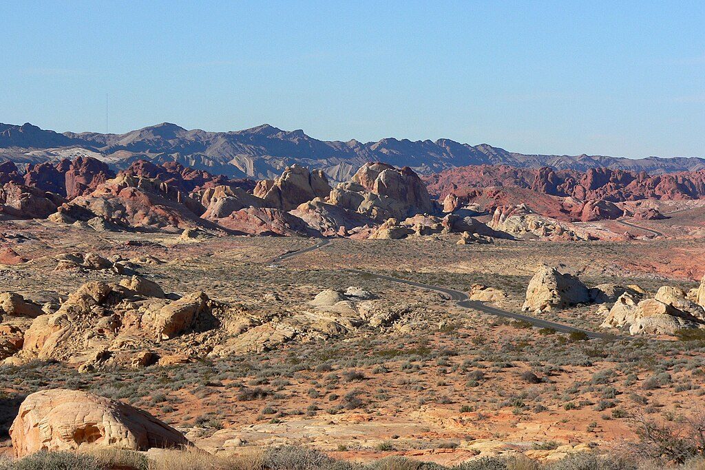
Place · 0.2 mi away
Challenging
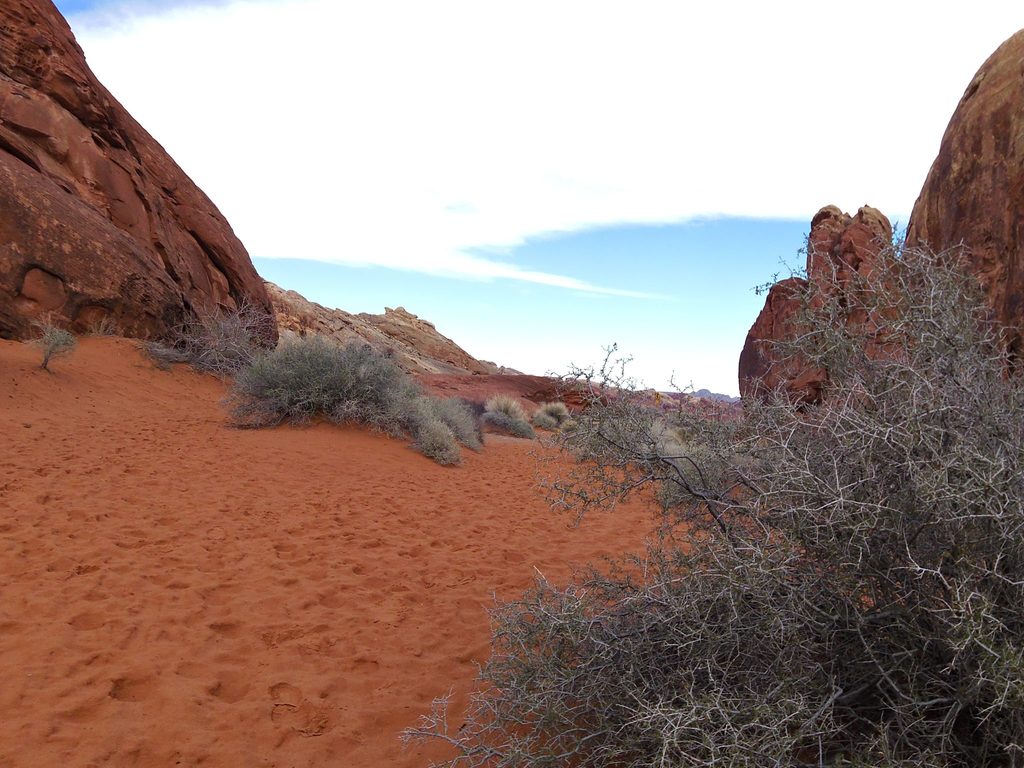
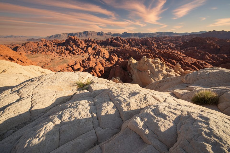
Valley of Fire Peak is an unofficial, off-trail summit route that trades crowds for problem‑solving and big views. Expect route‑finding through maze‑like terrain, hands‑on scrambling, and a satisfying perch above a riot of red, white, and pink Aztec sandstone.
Plan on roughly 5.5 miles round trip (out and back), though exact mileage and elevation gain vary with the line you choose. There’s no signed trail—this is a scramble route—so progress is slower than mapped mileage suggests. Most hikers start from a dirt overflow lot off White Domes Road near the junction with Fire Canyon Road, then work toward the peak via washes, slabs, and ledges. The north side involves problem‑solving around ribs and short cliff bands; backtracking is normal.
You can keep it strictly a non‑technical scramble, or add spice: a short slot leads to a small Class 3 gully that some hikers use as a shortcut on the return. If Class 3 isn’t your thing, stick to the main line—both options exist in this terrain.
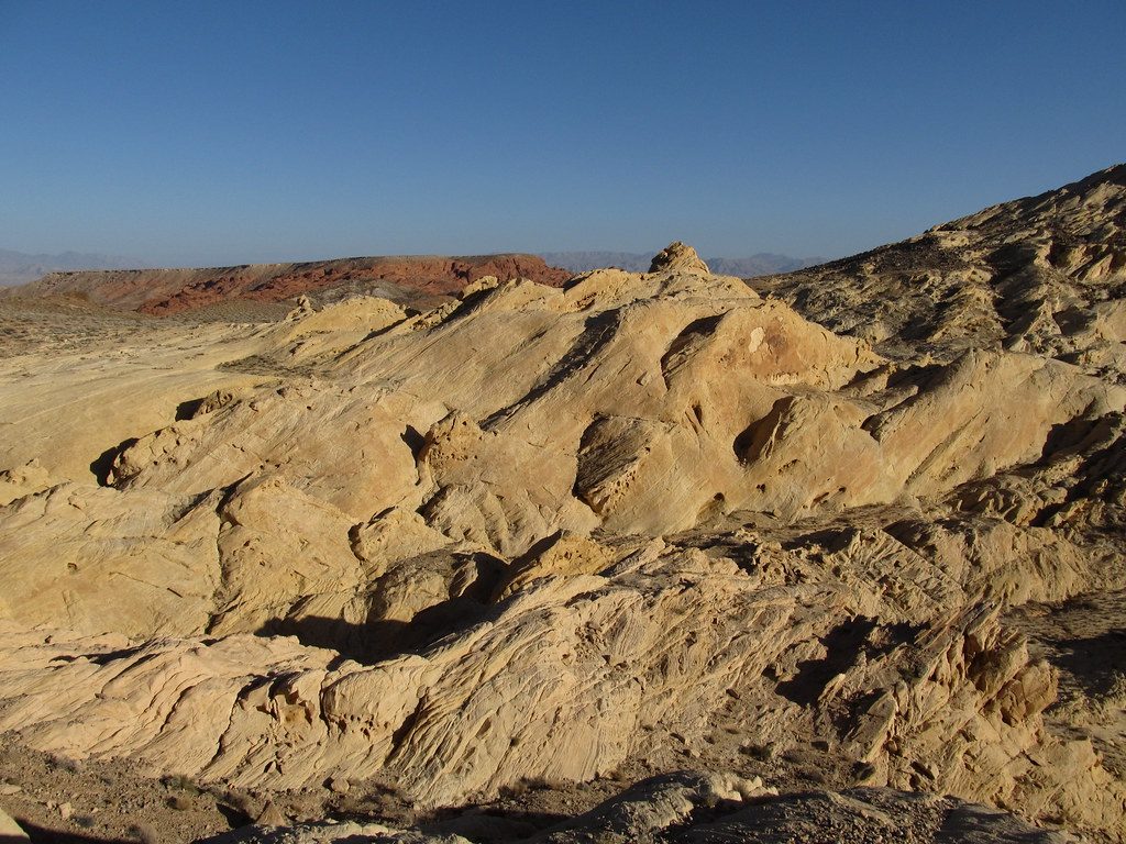
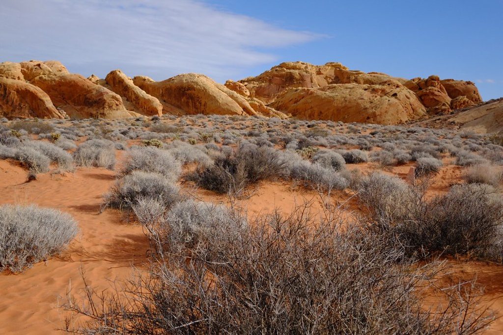
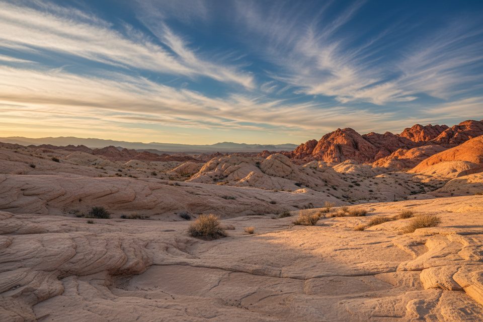
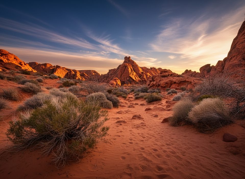
It’s classic Valley of Fire: slickrock, layered Aztec sandstone in white, pink, and orange, and panoramic Mojave Desert views from the summit. In cooler months, keep an eye out for Desert Tortoise and bursts of spring wildflowers in sandy pockets.
If you enjoy solitude, route‑finding, and some hands‑on moves, this is one of the park’s more rewarding adventures. If you prefer clear, signed paths or are hiking with young kids, stick to easier highlights like White Domes or the Fire Wave instead.
October through April is the sweet spot. Summer heat is no joke here—start early even in spring and fall, carry plenty of water, and bring full sun protection. Cell service can be unreliable; download a GPS track and route notes before you go. Check current park conditions and any seasonal restrictions before heading out. A day‑use entry fee is required for the state park.
Park at the dirt overflow lot off White Domes Road near the Fire Canyon Road junction.
Unmarked, off-trail terrain with route-finding in a maze of slabs and short cliff bands; optional Class 3 gully; limited shade and unreliable cell service—carry ample water, sun protection, and a downloaded GPS track; check the park for any seasonal restrictions.
Place · 0.2 mi away
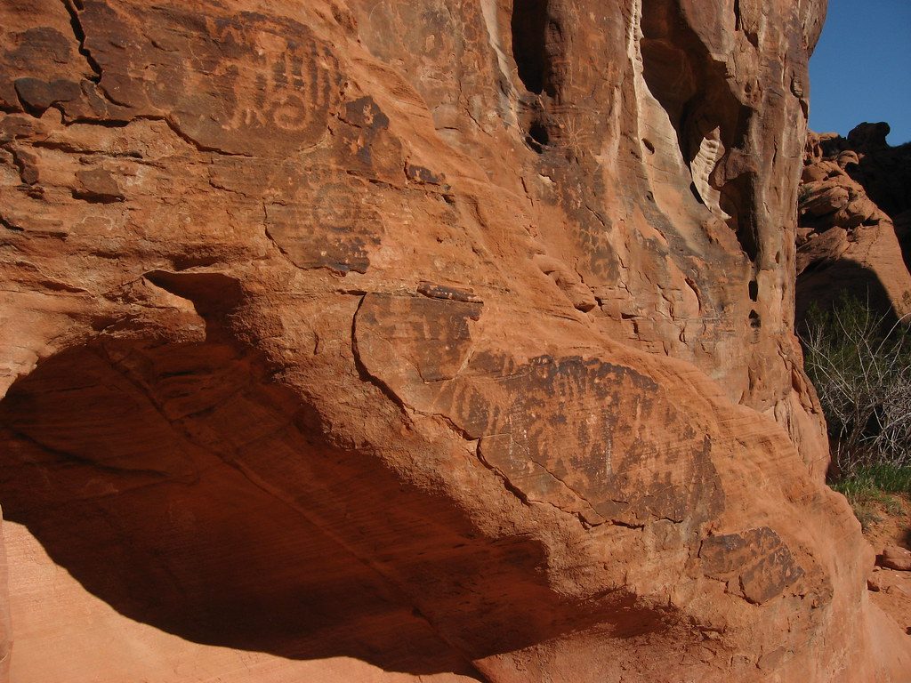
Place · 0.8 mi away
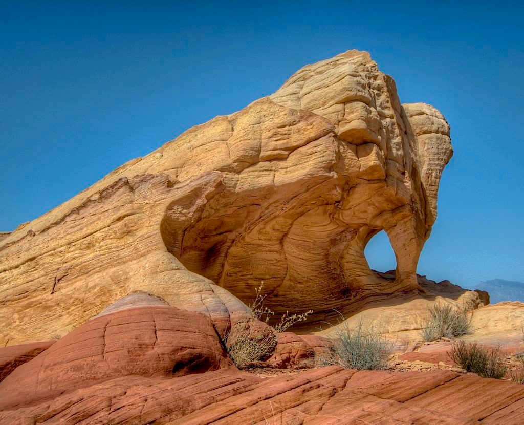
Place · 0.8 mi away
Place · 0.8 mi away
Easy · 0 mi away
Easy · 0 mi away
Challenging · 0.8 mi away
Easy · 0.8 mi away

Parkwolf Tour Guide
