Parking
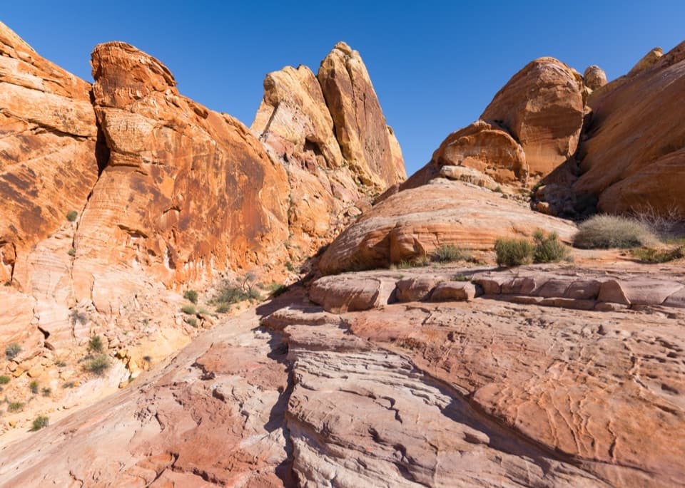
Use the Fire Canyon / Silica Dome parking area off Mouse’s Tank Scenic Drive, between Rainbow Vista and Fire Wave. The summit route starts from this access; the Fire Canyon overlook is a separate short walk from the lot.
Valley of Fire State Park, NV
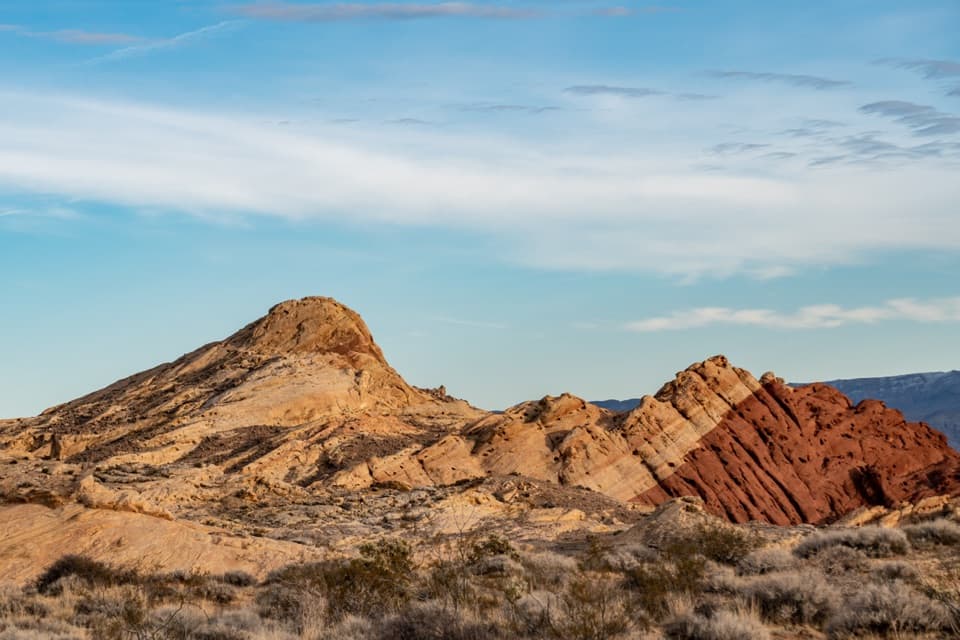
A short scramble climbs to a wide view over Fire Canyon.
Overview
Map & elevation
Plan your hike

The highest, rockiest slopes around here are a summer buffet for grizzly bears.
Valley of Fire Tour Guide
Parkwolf is a GPS audio tour guide for Valley of Fire State Park. As you drive, it chimes in with what’s ahead: hidden gems, upcoming stops, history, geology, and wildlife, right through your car’s speakers.
See the Valley of Fire audio tourRecorded for this trailhead
Fire Canyon and Silica Dome: The Road-End View“You're coming up on Fire Canyon and Silica Dome Overlook, where pale sandstone stands out against red and pink ridges. I'd keep this stop for a broad canyon view with very little walking.”
Plays as you drive up to this trailhead in the Parkwolf Valley of Fire Tour Guide.
More stories near here in the app
“Fantastic app with many points of information… It’s great to just turn on while you’re driving and it gives you an audio tour of the national Park. We love it!!!!”


Trail guide
Silica Dome Trail is an informal 1.2-mile out-and-back from Fire Canyon / Silica Dome parking to the pale dome’s high point, with about 300 feet of gain. The route follows an old dirt track east before fading on the north slope into a short Class 2 sandstone scramble. Plan on about an hour; route-finding and time at the summit can stretch a quick outing.
This is a faint, unsigned route, not a maintained park trail. The last pitch is steep and bare, with patches of loose sand on pale silica rock and a sharp, exposed edge at the top. The park map shows the nearby Fire Canyon overlook, not a summit route; check at the Visitor Center that this informal approach is allowed, and stay off dark cryptobiotic soil crust. There is no shade or water at this access. The park warns that high heat makes even short hikes dangerous, and closes to all visitors December 1–14 each year.
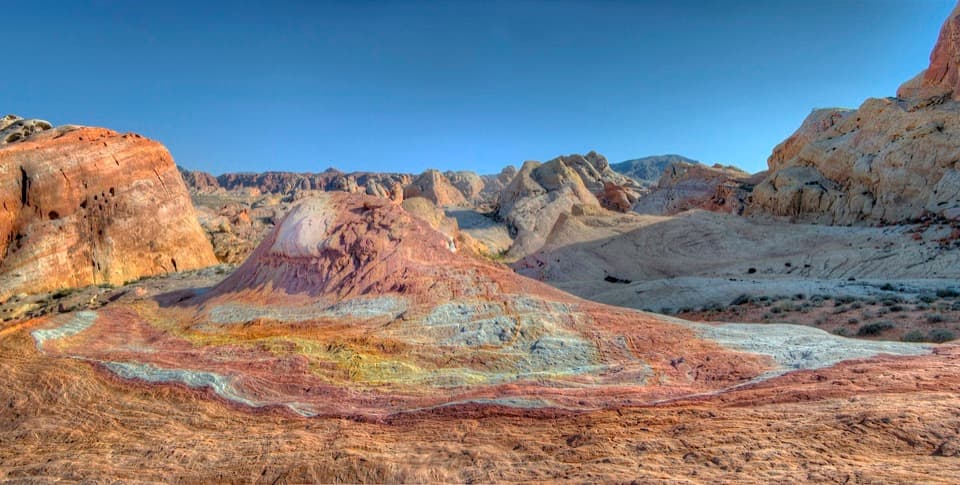
The dome’s sandstone is unusually rich in silica, giving its high point a pale face against Valley of Fire’s red formations. From the top, the view opens across Fire Canyon’s sandy channel, with the Overton Arm and the ridges above Mouse’s Tank Scenic Drive farther out. The pale summit framed by the red rock makes the color contrast easy to see.
The Fire Canyon overlook is identified as a filming location for Star Trek: Generations (1994). Silica Dome appears in the film’s Veridian III scenes, which is the context behind the nearby “Captain Kirk’s Grave” nickname. It is a movie reference, not a real grave.
The Fire Canyon overlook is a separate, very short walk from the same parking area. It gives you the canyon view without the faint dome approach or exposed summit climb.
Wildlife
 647 sightingsBighorn SheepMost seen around 6 PMSighting map
 11 sightingsMojave Desert TortoiseMost seen around 8 AMSighting map
 23 sightingsSidewinderMost seen around 7 PMSighting map
 18 sightingsBlack-tailed JackrabbitMost seen around 6 AMSighting map
 11 sightingsRingtailMost seen around 8 PMSighting map
 19 sightingsRed-tailed HawkMost seen around 10 AMSighting map
Sighting maps show where each species has been reported across Valley of Fire. Wildlife moves, so no sighting is guaranteed.
Keep exploring
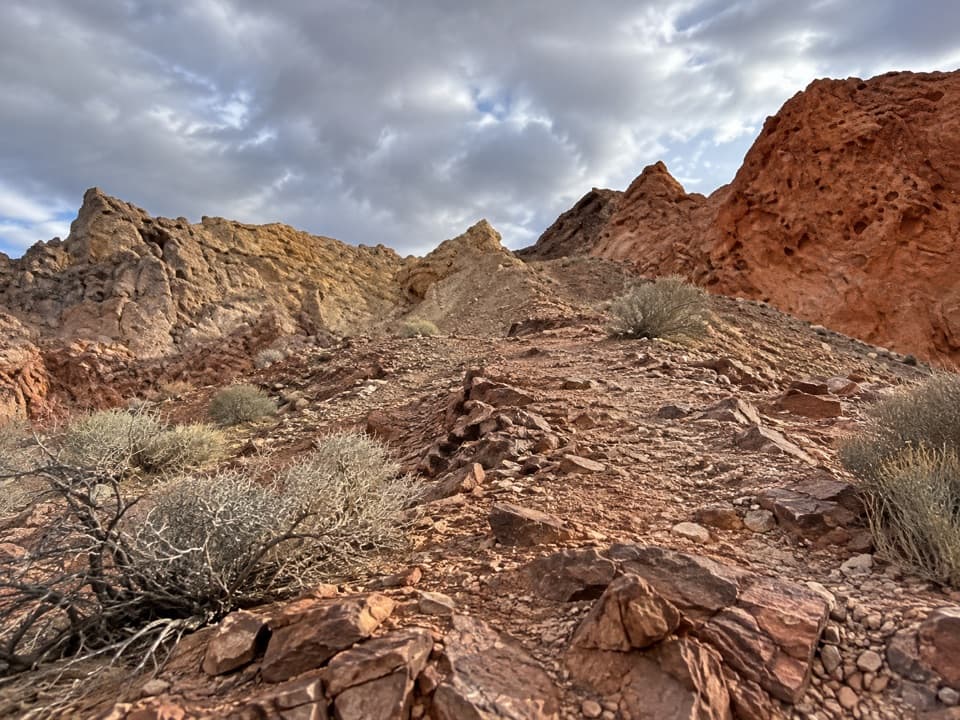 ModerateFire Canyon Loop Trail5.7 mi · 3.5 hr · At the trailheadA longer Silica Dome circuit where a downloaded track earns its keep.
 EasyRainbow Vista Trail1 mi · 45 min · 0.8 mi awayA sandy canyon walk to a rugged overlook above Fire Canyon
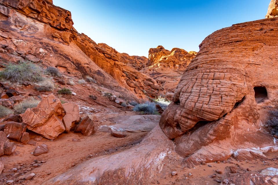 EasyMouse’s Tank Trail0.7 mi · 36 min · 1.3 mi awayLook up as you walk: petroglyphs mark a sandy red-rock canyon.
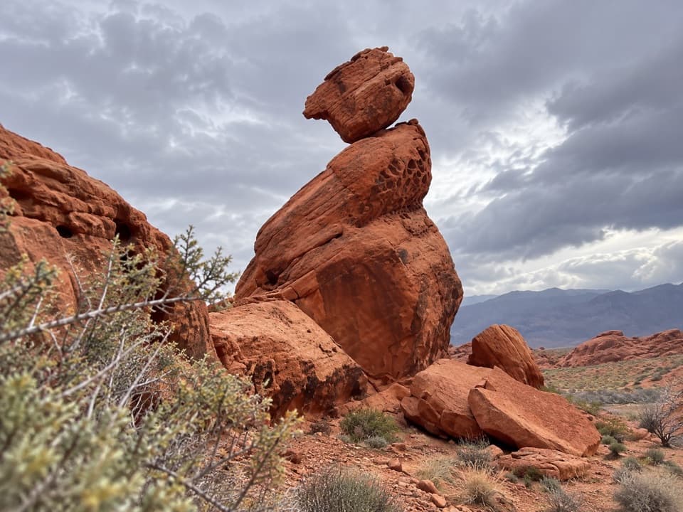 EasyBalancing Rock Trail0.3 mi · 15 min · 1.9 mi awayA short walk to a sandstone stack with an eyelet.
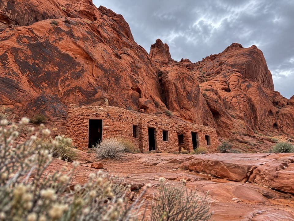 EasyThe Cabin Trail0.6 mi · 30 min · 2.1 mi awayWalk to 1930s CCC cabins, then pause at the shaded picnic area.
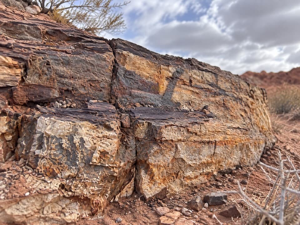 EasyEastern Petrified Log Trail0.1 mi · 15 min · 2.5 mi awayA quick, easy walk to a protected petrified log
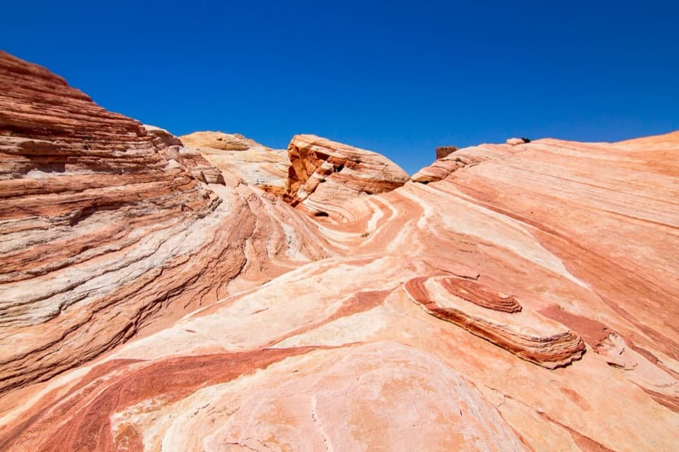
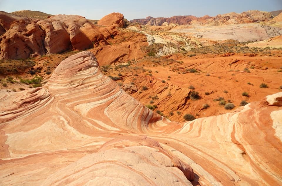 EasyFire Wave Trail1.4 mi · 1.3 hr · 2.7 mi awayA sandy out-and-back to a wave of pink and cream sandstone.
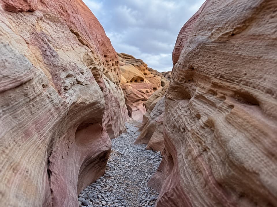 ModeratePink/Pastel Canyon Trail1.6 mi · 1.5 hr · 2.7 mi awayFollow pink-banded sandstone into a narrow desert wash.Sight · 0.1 mi awayFire Canyon / Silica Dome OverlookA roadside stop for the pale dome and fiery canyon bands.
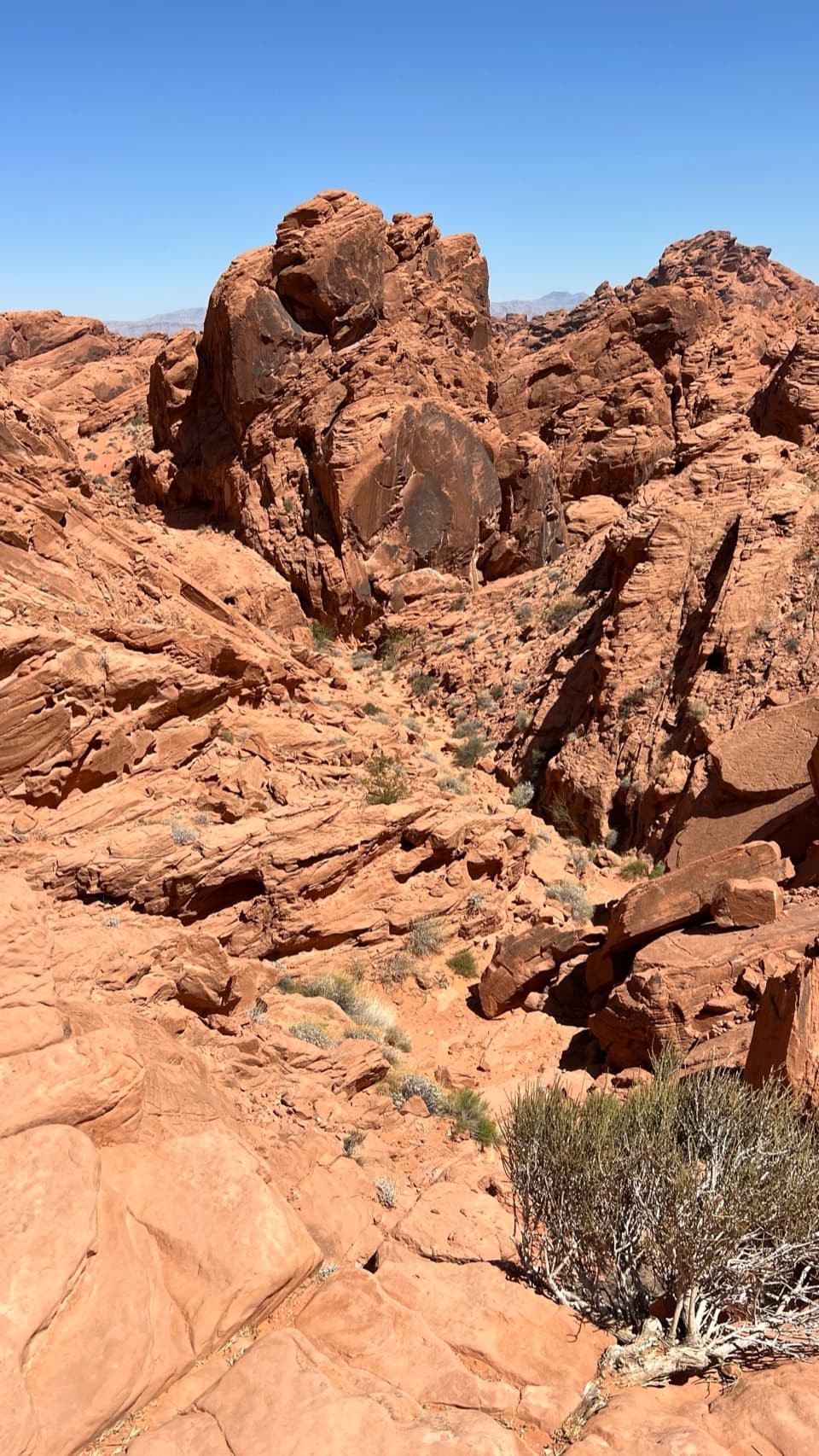 Sight · 0.7 mi awayFire Canyon OverlookA short, sandy hike ends above a rugged red-rock canyon.
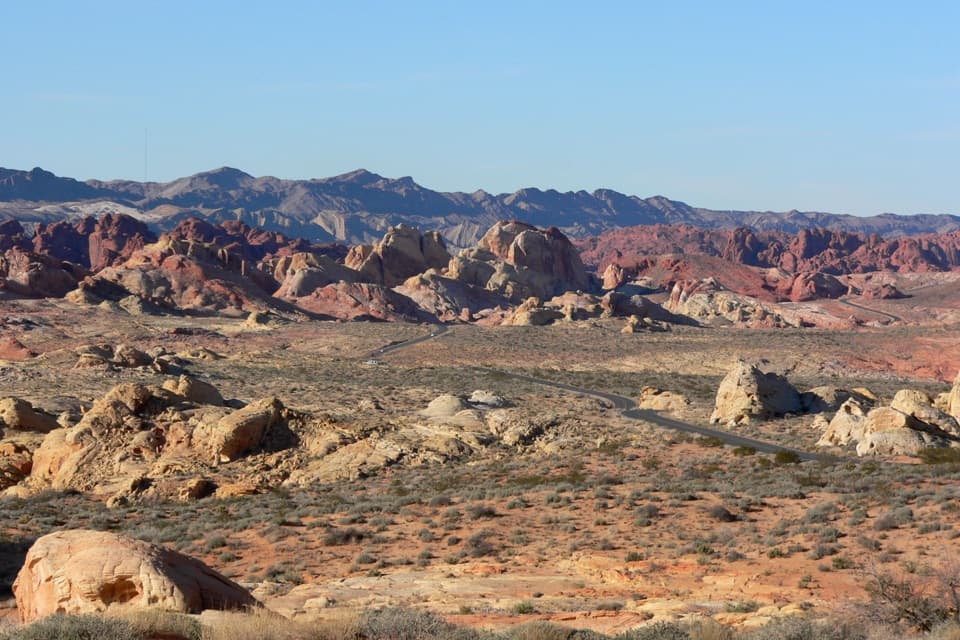 Sight · 0.8 mi awayRainbow VistaA ridge-top panorama over miles of multicolored sandstone.
 Picnic area · 1.3 mi awayMouse’s Tank Picnic AreaA shaded lunch stop with petroglyphs just behind it.
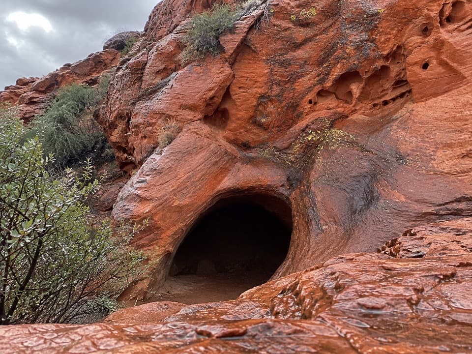 Sight · 1.3 mi awayMouse's TankA short canyon walk where petroglyphs lead to a rain-fed basin.
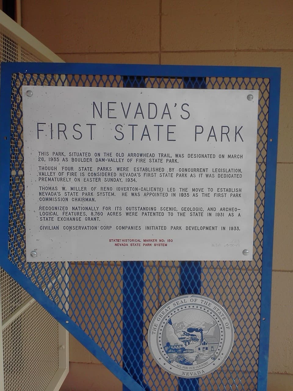 Historic marker · 1.9 mi awayNevada’s First State Park Historical MarkerA quick marker stop for the park’s early history and Arrowhead Trail.
 Sight · 1.9 mi awayBalancing RockAn odd little sandstone perch on a very short walk.
 Picnic area · 2 mi awaySeven SistersA shaded roadside picnic area beneath seven red sandstone towers.
Parkwolf’s Valley of Fire ranking

The audio tour guide for the drive, plus offline maps, trails, and wildlife heatmaps for when the signal drops.