Overview
About Eyjabakkafoss
Why stop
- A memorable start point for the remote S12 crossing.
Heads up
- The waterfall’s present visibility and short-approach access are uncertain.
Map
Where it is

The highest, rockiest slopes around here are a summer buffet for grizzly bears.
Vatnajökull Tour Guide
Your drive to Eyjabakkafoss, narrated.
Parkwolf is a GPS audio tour guide for Vatnajökull National Park. As you drive, it chimes in with what’s ahead: hidden gems, upcoming stops, history, geology, and wildlife, right through your car’s speakers.
More stories near here in the app
- Snæfell's International Wetlands
- How a Pebble Loses Its Corners
- A Tangle Grown by the Tree
- Yellow Hidden Under Green
- 298 audio storiesacross Vatnajökull’s roads, triggered by GPS as you drive
- Wildlife heatmapsfor Grey Seal, Harbor Seal, Caribou, and 13 more
- Works offlinemaps, 92 trails, 75 places, and audio download before you lose signal
- CarPlay readysimple controls built for the drive
“Fantastic app with many points of information… It’s great to just turn on while you’re driving and it gives you an audio tour of the national Park. We love it!!!!”


Guide
More about Eyjabakkafoss
A cascade with a question markEyjabakkafoss is a broad, low cascade stepping through dark, angular rock in the Snæfell…
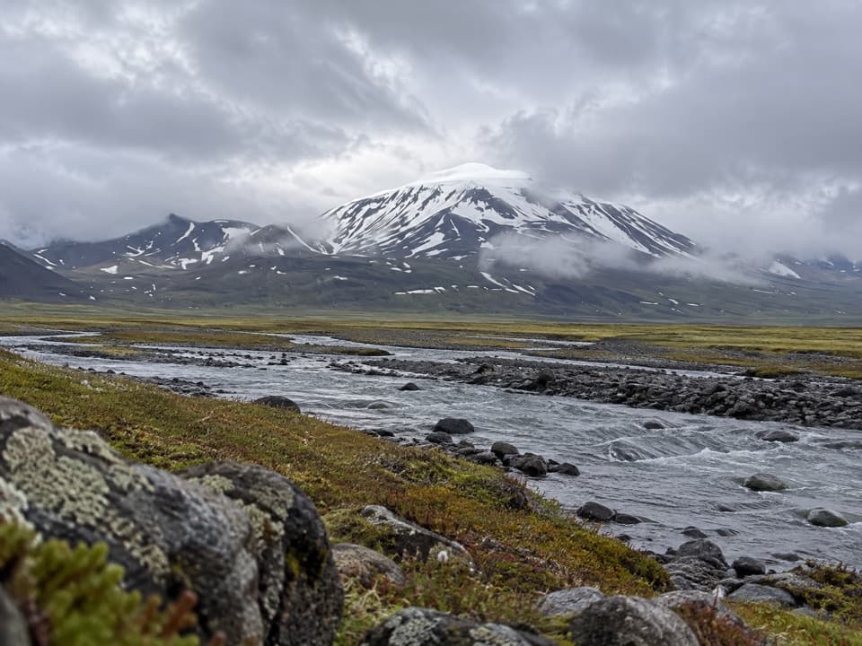
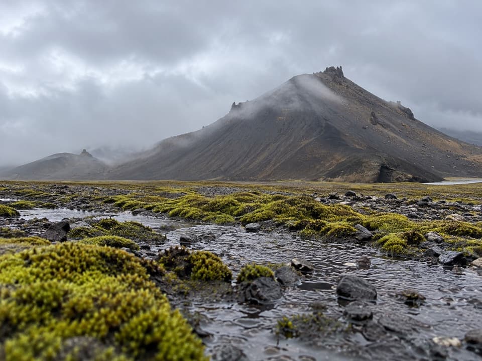
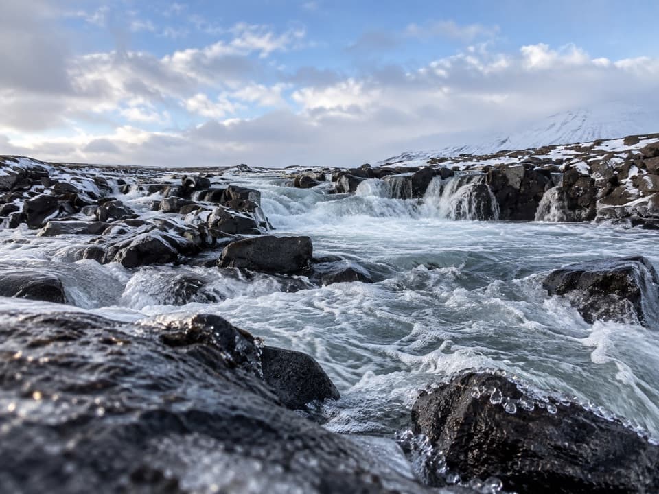
Eyjabakkafoss is a broad, low cascade stepping through dark, angular rock in the Snæfell highlands beside Eyjabakkar, a green, boggy plain northeast of Eyjabakkajökull’s snout. S12 starts here, but how much of the waterfall still stands above Ufsarlón is uncertain: the reservoir may cover part or all of it. Go for the stark highland setting and route connection, with an exposed waterfall as a possible bonus.
Plan for the long approachS12 crosses Eyjabakkar to Eyjakofi hut, follows Ytri Bergkvísl, then turns south toward…
S12 crosses Eyjabakkar to Eyjakofi hut, follows Ytri Bergkvísl, then turns south toward Geldingafell hut. It is 16 km one way, about six hours and rated difficult, with 250 m of listed elevation. No separate short approach to the cascade is documented, so don’t assume this is a quick roadside stop. Check highland access before setting out; if you continue on S12, carry your own food and water for the long walk.
The wetland around itEyjabakkar is a green patch of wetland in otherwise sparse highlands and an important area for…
Eyjabakkar is a green patch of wetland in otherwise sparse highlands and an important area for pink-footed geese. Large flocks use it as a resting place before migrating south; a regional estimate puts the number at about 14,000. The route also highlights birdlife and reindeer. For a photo, get low enough to show several channels of water crossing the dark rock, with the open highland beyond.
Wildlife
Wildlife in Vatnajökull
 23 sightingsGrey SealMost seen around 5 AMSighting map
 260 sightingsHarbor SealMost seen around 11 AMSighting map
 184 sightingsCaribouMost seen around 7 PMSighting map
 62 sightingsArctic FoxMost seen around 8 PMSighting map
 169 sightingsWhooper SwanMost seen around 5 PMSighting map
 68 sightingsAtlantic PuffinMost seen around 7 PMSighting map
Sighting maps show where each species has been reported across Vatnajökull. Wildlife moves, so no sighting is guaranteed.