Overview
About Jökulsárlón Glacier Lagoon
Why stop
- You can see drifting icebergs from shore without booking a tour.
- The short ridge loop adds a higher view over the lagoon and sandur.
Heads up
- The popular visitor area and boat departures can be busy.
Map
Where it is

The highest, rockiest slopes around here are a summer buffet for grizzly bears.
Vatnajökull Tour Guide
Your drive to Jökulsárlón Glacier Lagoon, narrated.
Parkwolf is a GPS audio tour guide for Vatnajökull National Park. As you drive, it chimes in with what’s ahead: hidden gems, upcoming stops, history, geology, and wildlife, right through your car’s speakers.
Recorded for this place
Jökulsárlón Glacier Lagoon“You're coming up on Jökulsárlón Glacier Lagoon, where icebergs drift between the glacier and the sea. Stop here even if you haven't booked a boat; you can enjoy the ice from shore.”
Plays as you drive up to Jökulsárlón Glacier Lagoon in the Parkwolf Vatnajökull Tour Guide.
More stories near here in the app
- Fellsfjara: Diamond Beach
- Jökulsárlón B1: Beyond Helguhóll
- When Ash Protects Ice
- A Whimbrel's Curved Bill
- 298 audio storiesacross Vatnajökull’s roads, triggered by GPS as you drive
- Wildlife heatmapsfor Grey Seal, Harbor Seal, Caribou, and 13 more
- Works offlinemaps, 92 trails, 75 places, and audio download before you lose signal
- CarPlay readysimple controls built for the drive
“Fantastic app with many points of information… It’s great to just turn on while you’re driving and it gives you an audio tour of the national Park. We love it!!!!”


Guide
More about Jökulsárlón Glacier Lagoon
Start at the lagoon shoreJökulsárlón is a large glacial lagoon in Vatnajökull National Park, at the foot of…
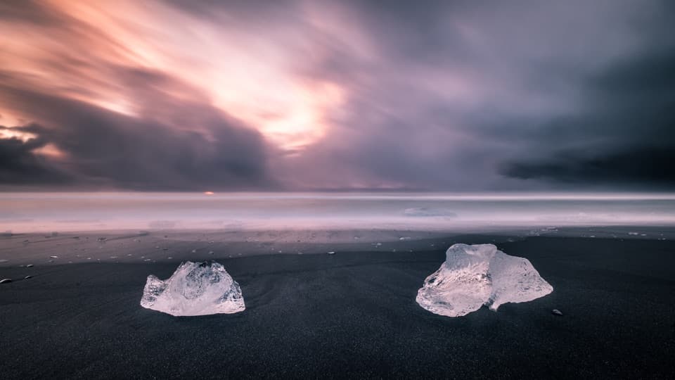
Jökulsárlón is a large glacial lagoon in Vatnajökull National Park, at the foot of Breiðamerkurjökull, an outlet of Vatnajökull. Ice breaks from the glacier, floats across the lagoon and drains toward the Atlantic. It is one of Iceland’s best-known stops, and the shore is enough for a rewarding look at the icebergs without booking a boat. The visitor area is directly off Route 1, with paid parking and flush toilets.
Take the short ridge loopThe park’s easy B1 loop is 1.
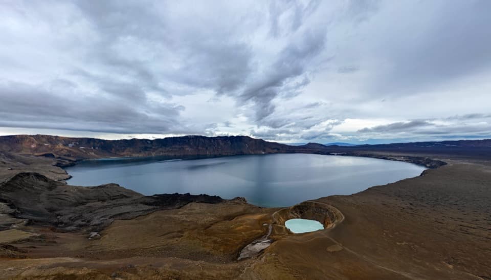
The park’s easy B1 loop is 1.2 km, about 20 minutes, with 20 m of climbing from the main parking area. It rises to Helguhóll, drops to Bátavík, follows a moraine with views toward Breiðamerkurjökull, then returns along the lagoon. In clear weather, look for Mávabyggðir and Esjufjöll above the glacier. The higher path gives you a wider view than staying beside the water.
Add a boat if you want a closer lookAmphibian craft and Zodiacs offer different ways onto the water; Zodiacs cover more of the…
Amphibian craft and Zodiacs offer different ways onto the water; Zodiacs cover more of the lagoon and may approach the glacier when conditions allow. Boats are seasonal and depend on weather and safety, and popular departures can fill. The shoreline remains a good visit on its own, so book ahead only if a boat trip is part of your plan.
A young landscape still changingThe lagoon began forming around 1935 as Breiðamerkurjökull retreated from the coast.
The lagoon began forming around 1935 as Breiðamerkurjökull retreated from the coast. It has grown dramatically as the glacier has withdrawn, reaching about 11 square kilometres and roughly four times its 1970s area. The retreat keeps exposing land and shifting river courses, so the sands and moraines around the lagoon are places where new vegetation and wildlife establish.
Look for seals among the iceSeals live in the lagoon through the year and often rest on icebergs; in winter they gather…
Seals live in the lagoon through the year and often rest on icebergs; in winter they gather near the lagoon mouth to feed. Breiðamerkursandur is also nesting ground for great skua, red-throated diver, greylag goose and barnacle goose. Treat wildlife as a possible sighting, not a guarantee, and give animals room.
Make the stop workThe lagoon is popular and can be busy.
The lagoon is popular and can be busy. If you want a boat trip, reserve ahead; otherwise, walk the shore and B1 loop at your own pace. A café and seasonal food services operate by the visitor area, and there’s an EV charger near the café. Parking is paid; check the current fee on arrival.
Keep Diamond Beach as a separate stopFellsfjara, usually called Diamond Beach, is across Route 1 and is a different shoreline from…
Fellsfjara, usually called Diamond Beach, is across Route 1 and is a different shoreline from the lagoon. The park’s easy B2 path is about 1 km from the beach-side parking, passing under the bridges over Jökulsá. For a lagoon photo, walk the shore for changing iceberg foregrounds, or take B1 up to Helguhóll for the lagoon and Breiðamerkursandur in one view. The ice shifts constantly, and changing light brings out different colors.
Wildlife
Wildlife in Vatnajökull
 23 sightingsGrey SealMost seen around 5 AMSighting map
 260 sightingsHarbor SealMost seen around 11 AMSighting map
 184 sightingsCaribouMost seen around 7 PMSighting map
 62 sightingsArctic FoxMost seen around 8 PMSighting map
 169 sightingsWhooper SwanMost seen around 5 PMSighting map
 68 sightingsAtlantic PuffinMost seen around 7 PMSighting map
Sighting maps show where each species has been reported across Vatnajökull. Wildlife moves, so no sighting is guaranteed.