Overview
About Ásbyrgi Canyon and Botnstjörn
Why stop
- The wooded floor feels sheltered beneath Ásbyrgi’s high, bare cliffs.
Heads up
- The short pond loop stays low; the wider canyon view takes a longer walk.
Map
Where it is

The highest, rockiest slopes around here are a summer buffet for grizzly bears.
Vatnajökull Tour Guide
Your drive to Ásbyrgi Canyon and Botnstjörn, narrated.
Parkwolf is a GPS audio tour guide for Vatnajökull National Park. As you drive, it chimes in with what’s ahead: hidden gems, upcoming stops, history, geology, and wildlife, right through your car’s speakers.
Recorded for this place
Ásbyrgi and Botnstjörn“You're approaching Botnstjörn, the pond tucked below Ásbyrgi's inner cliffs. For a short visit to the canyon floor, this is the walk I'd choose: about half an hour on a one-kilometre loop from the inner car park.”
Plays as you drive up to Ásbyrgi Canyon and Botnstjörn in the Parkwolf Vatnajökull Tour Guide.
More stories near here in the app
- Flowers Before Summer
- Charcoal Pits in the Woods
- A Bumblebee's Warm-Up
- Eyjan: Above Ásbyrgi’s Woods
- 298 audio storiesacross Vatnajökull’s roads, triggered by GPS as you drive
- Wildlife heatmapsfor Grey Seal, Harbor Seal, Caribou, and 13 more
- Works offlinemaps, 92 trails, 75 places, and audio download before you lose signal
- CarPlay readysimple controls built for the drive
“Fantastic app with many points of information… It’s great to just turn on while you’re driving and it gives you an audio tour of the national Park. We love it!!!!”


Guide
More about Ásbyrgi Canyon and Botnstjörn
A canyon with a pond at its headÁsbyrgi is a horseshoe-shaped, forested depression in the Jökulsárgljúfur part of Vatnajökull…
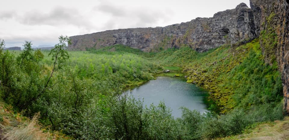
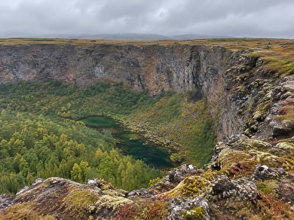
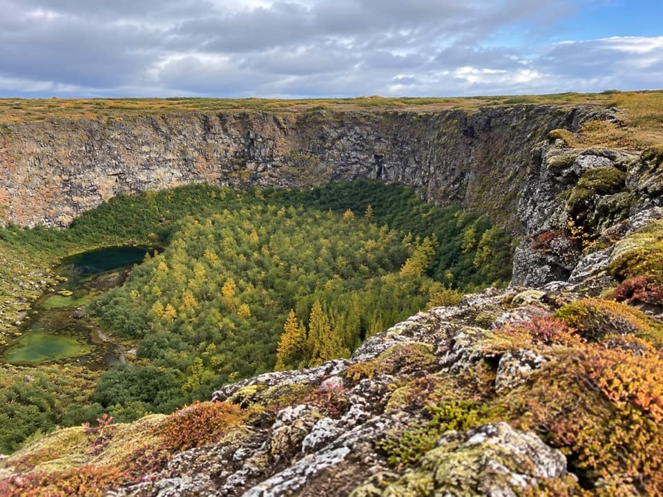
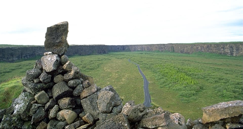
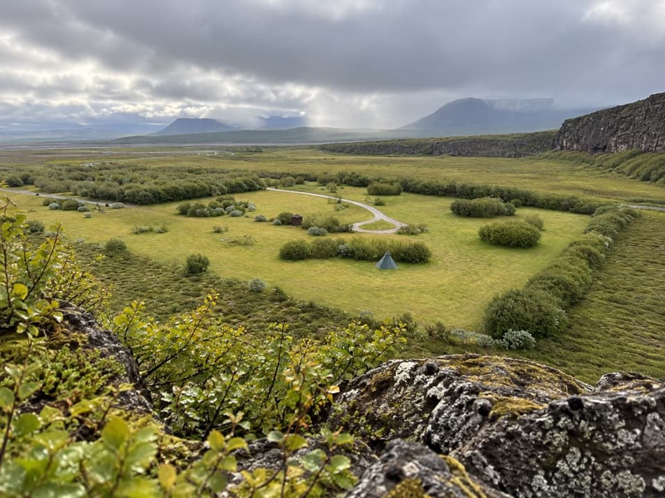
Ásbyrgi is a horseshoe-shaped, forested depression in the Jökulsárgljúfur part of Vatnajökull National Park. It runs about 3.5 km long and is roughly 1.1 km across, with cliffs up to 100 metres high at its closed end. This stop centers on Botnstjörn, the small pond tucked below those headwalls. The short loop gives you the sheltered canyon floor without committing to a long hike.
The short routeThe marked Á1 circle starts at the Ásbyrgi car park; it’s 1 km and about 30 minutes.
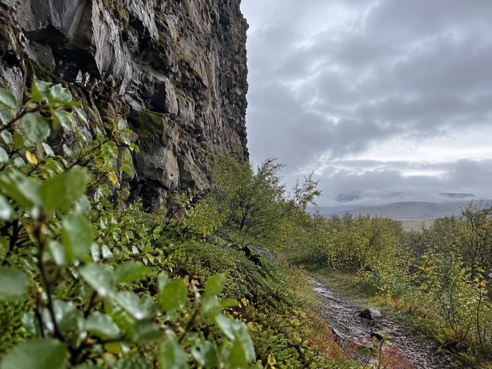
The marked Á1 circle starts at the Ásbyrgi car park; it’s 1 km and about 30 minutes. The park lists it for visitors with limited mobility, though it crosses gravel and wooden boardwalk and includes a few steps, so it isn’t fully step-free. For a view across the whole hollow, Eyjan’s separate trail is 4.5 km and takes about 1.5 to 2 hours; the park rates it easy.
Botnstjörn beneath the cliffsAt the end of the loop, wooden viewing platforms bring you beside the pond.
At the end of the loop, wooden viewing platforms bring you beside the pond. Birch branches soften the rock walls, and the still water can reflect both. For a photo, keep some of the water in the foreground and include the headwall; the contrast makes the pond’s sheltered position clear. In spring or after heavy rain, a small waterfall can spill into it, but it isn’t a year-round feature.
Made by floodsThe canyon’s shape is tied to at least two immense glacial outburst floods from Vatnajökull.
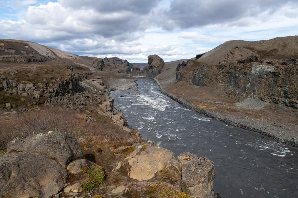
The canyon’s shape is tied to at least two immense glacial outburst floods from Vatnajökull. One happened around 8,000 to 10,000 years ago; another followed about 3,000 years ago. The Jökulsá river later shifted east, leaving the broad hollow and its cliffs behind. That origin is hard to picture from the pond alone, but the scale becomes clearer when you look up at the headwalls.
Eyjan divides the hollowA distinctive rock formation called Eyjan rises in the middle of Ásbyrgi; its name means “the…
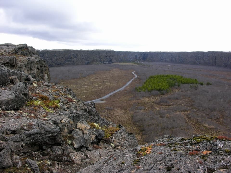
A distinctive rock formation called Eyjan rises in the middle of Ásbyrgi; its name means “the Island.” It reaches about 250 metres across and stands in the middle of the hollow. The pond loop stays low. Take the longer Eyjan route if you want a view over the depression from above, but keep the two walks separate in your plans.
A green refugeBirch and willow grow across the canyon floor, alongside mountain ash and thousands of planted…
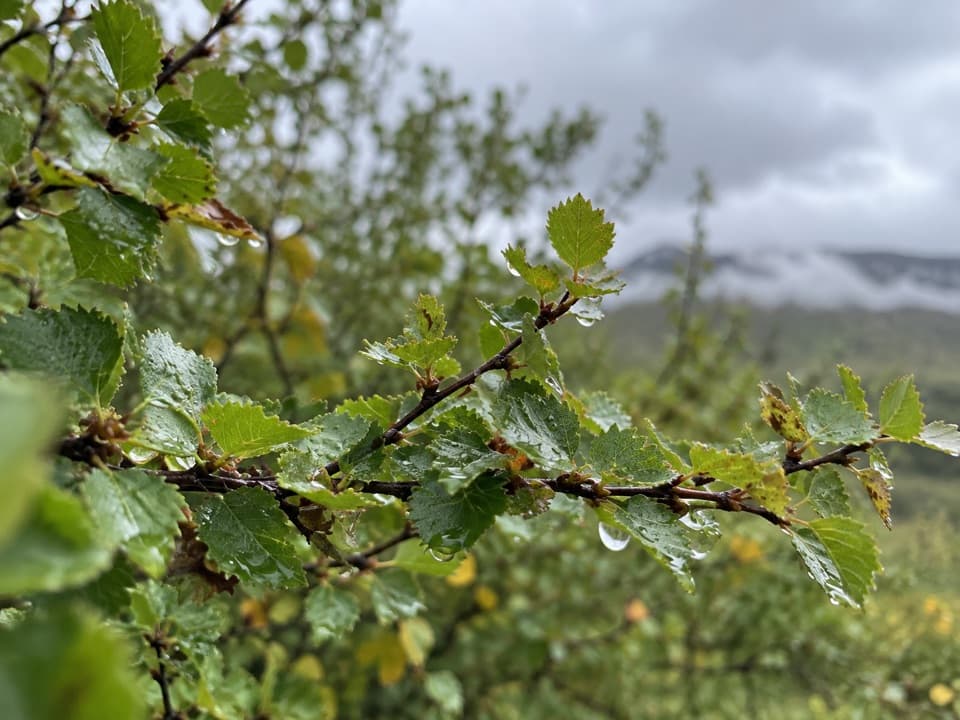
Birch and willow grow across the canyon floor, alongside mountain ash and thousands of planted pines. The wooded ground and heath support nesting birds, while fulmars use the steep cliffs. In autumn the trees can add a bright band of color against the bare rock; during spring or heavy rain, the little waterfall is another seasonal detail to look for.
Sleipnir’s hoofprintThere’s also a local legend for the canyon’s horseshoe shape: Odin’s eight-legged horse,…
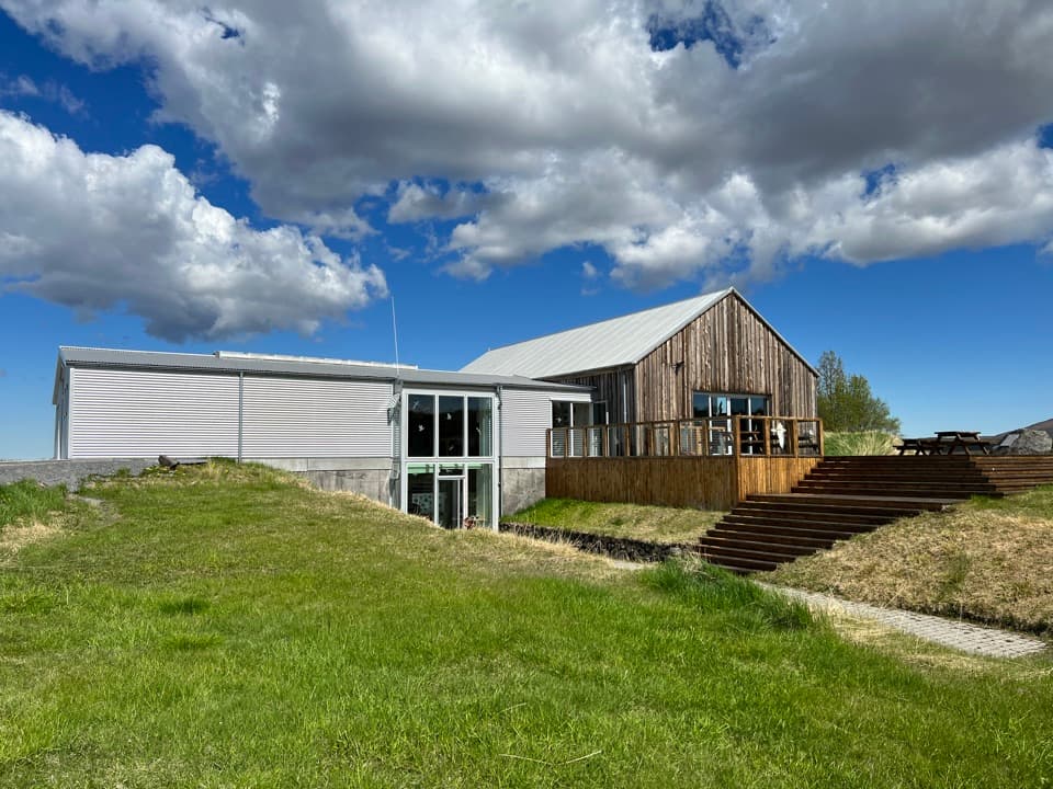
There’s also a local legend for the canyon’s horseshoe shape: Odin’s eight-legged horse, Sleipnir, set one hoof down here while carrying his rider across Iceland. The story sits alongside the flood explanation, not in place of it. If you have time for more than the pond, the separate visitor centre, restaurant and supermarket in the wider Ásbyrgi area make useful stops before or after the walk.
Wildlife
Wildlife in Vatnajökull
 23 sightingsGrey SealMost seen around 5 AMSighting map
 260 sightingsHarbor SealMost seen around 11 AMSighting map
 184 sightingsCaribouMost seen around 7 PMSighting map
 62 sightingsArctic FoxMost seen around 8 PMSighting map
 169 sightingsWhooper SwanMost seen around 5 PMSighting map
 68 sightingsAtlantic PuffinMost seen around 7 PMSighting map
Sighting maps show where each species has been reported across Vatnajökull. Wildlife moves, so no sighting is guaranteed.