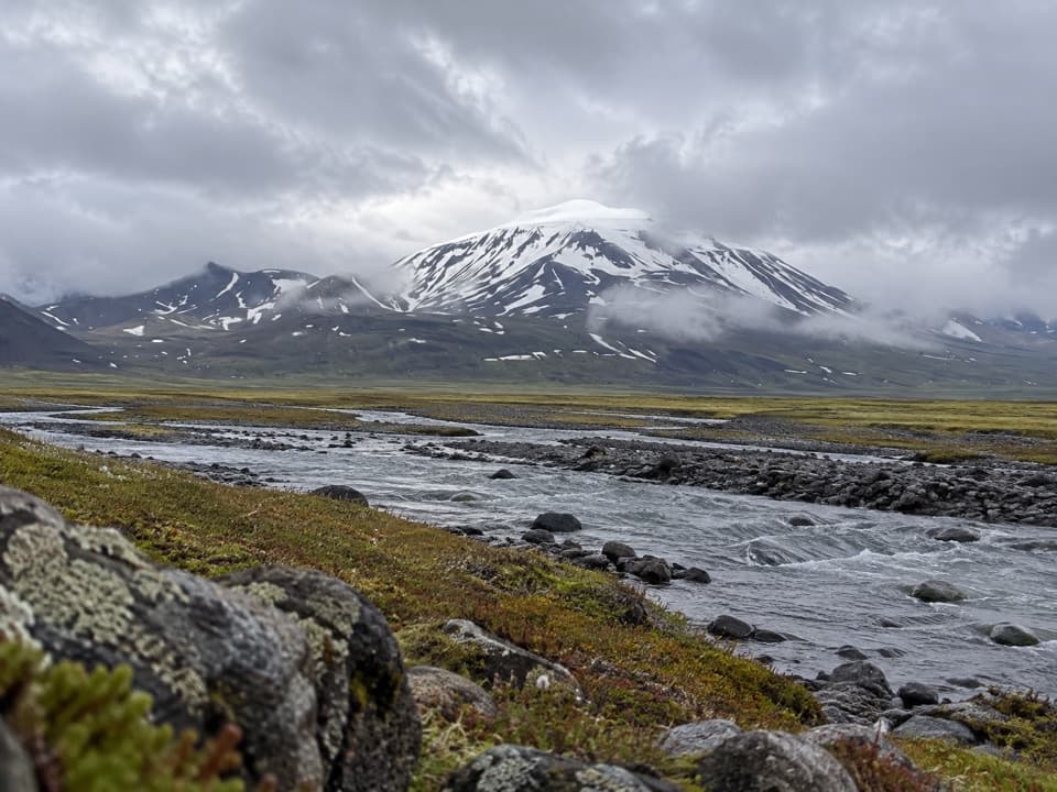
Eyjabakkafoss to Geldingafell Hut (S12) in Vatnajökull National Park

Vatnajökull National Park

Eyjabakkafoss to Geldingafell Hut (S12)

A difficult one-way wetland hike to a remote hut in the highlands.

Length
16km
Time
6hr
Elev. change
126m
Difficulty
Challenging
  • High point 773 m
Parkwolf audio tour298 stories across Vatnajökull’s roads

Overview

About Eyjabakkafoss to Geldingafell Hut (S12)

Why go

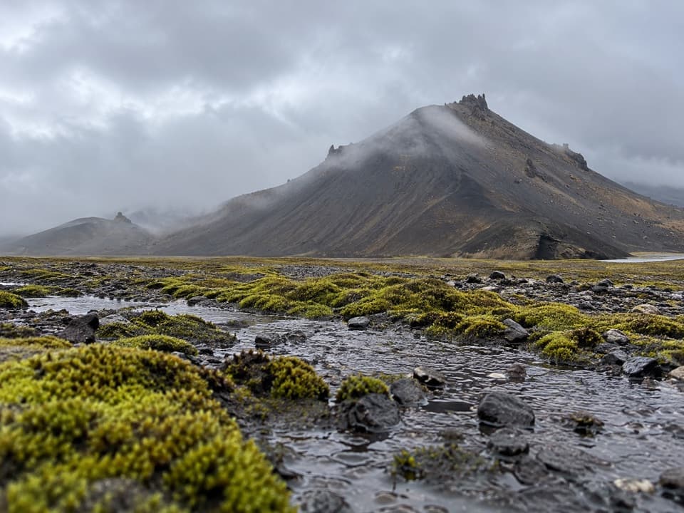
  • Long traverse across the Eyjabakkar wetland
  • Birdlife and reindeer habitat

Heads up

  • Point-to-point logistics require a pickup or a 32 km return
  • No precise crossing or wayfinding detail is published

Map & elevation

The route

Loading the Vatnajökull map
Full map
Elevation647–773 m
TrailheadEyjabakkafoss64.80173, -15.43578
Keep this map with you offline in the Parkwolf app

Plan your hike

Before you go

Parking

The park identifies Eyjabakkafoss as the start but gives no formal lot or capacity details. Highland road access is seasonal; confirm which approach is passable with park staff. Arrange a pickup at Geldingafell or plan a 32 km return on foot.

Safety

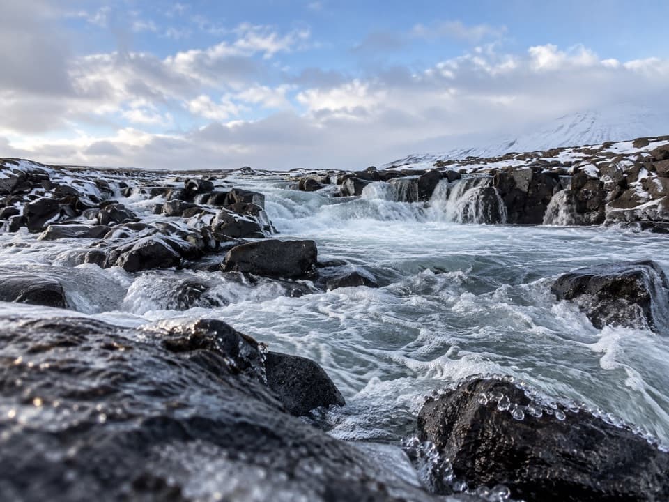
This difficult highland route crosses wetland and follows a river. The park map and route description do not specify exact crossings or waymarking; check the line and river conditions with rangers before setting out. Geldingafell hut is locked year-round, so arrange the key code in advance.

A park ranger sits on a dash-mounted phone, talking, as Parkwolf’s Tour Guide plays “Army Cutworm Moths: A Grizzly Bear Buffet” on Grand Loop Road below Dunraven Pass in Yellowstone
Parkwolf Tour GuideThe highest, rockiest slopes around here are a summer buffet for grizzly bears.

Vatnajökull Tour Guide

Your drive to Eyjabakkafoss to Geldingafell Hut (S12), narrated.

Parkwolf is a GPS audio tour guide for Vatnajökull National Park. As you drive, it chimes in with what’s ahead: hidden gems, upcoming stops, history, geology, and wildlife, right through your car’s speakers.

More stories near here in the app

  • Snæfell's International Wetlands
  • How a Pebble Loses Its Corners
  • Patterns Cut into Christmas Bread
  • A Sandpiper Among the Waves
  • 298 audio storiesacross Vatnajökull’s roads, triggered by GPS as you drive
  • Wildlife heatmapsfor Grey Seal, Harbor Seal, Caribou, and 13 more
  • Works offlinemaps, 92 trails, 75 places, and audio download before you lose signal
  • CarPlay readysimple controls built for the drive
★★★★★
“Fantastic app with many points of information… It’s great to just turn on while you’re driving and it gives you an audio tour of the national Park. We love it!!!!”
JMJamesApp Store review
Download Parkwolf on the App StoreGet Parkwolf on Google Play

4.7 from 8,600+ ratings

Trail guide

Hiking Eyjabakkafoss to Geldingafell Hut (S12)

Route and commitmentS12 is a difficult 16 km one-way point-to-point hike from Eyjabakkafoss to Geldingafell hut.

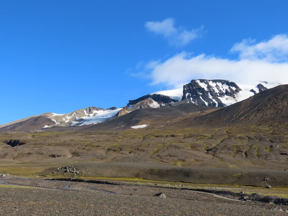
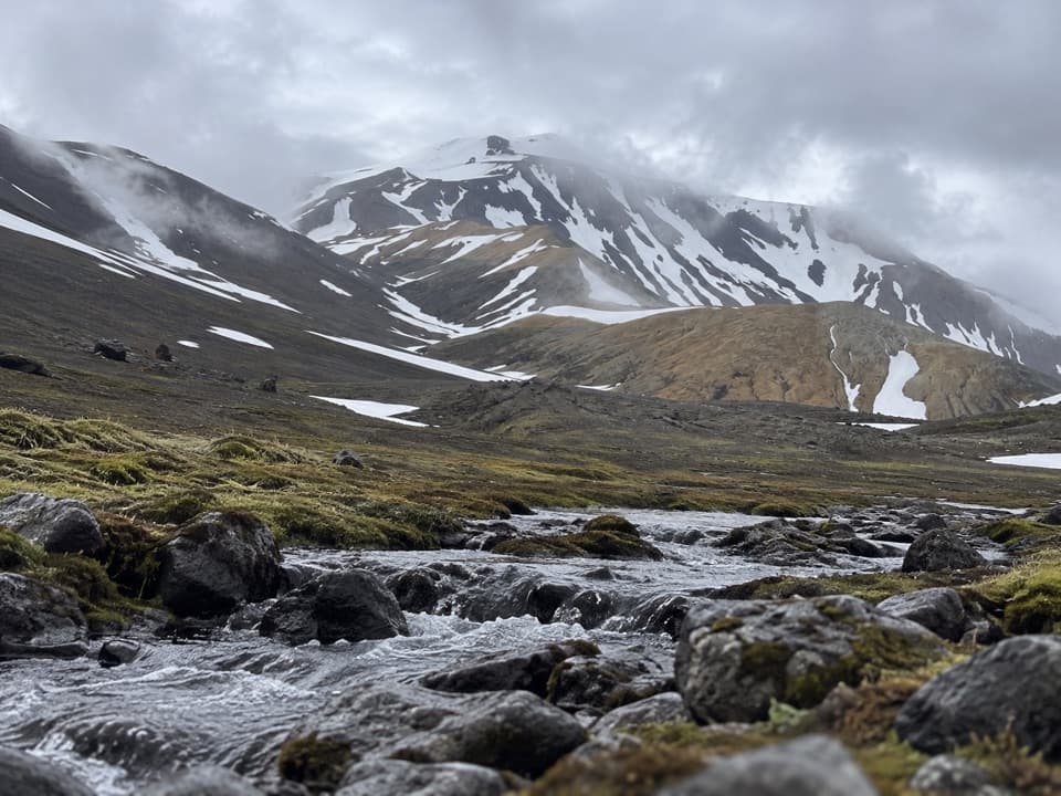
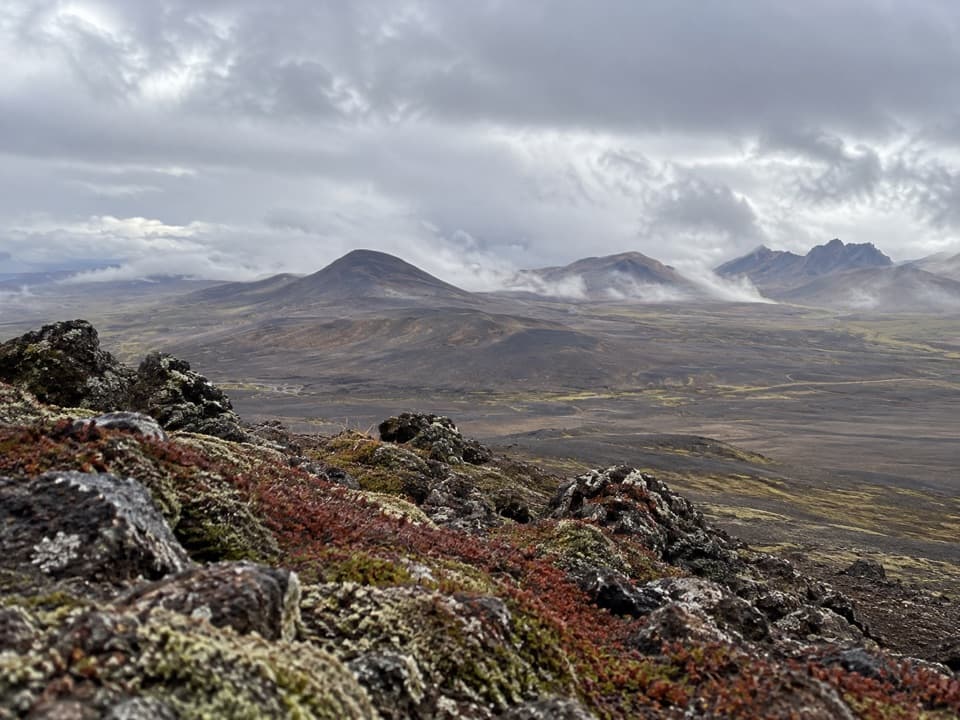
S12 is a difficult 16 km one-way point-to-point hike from Eyjabakkafoss to Geldingafell hut. It crosses Eyjabakkar to Eyjakofi, follows Ytri Bergkvísl upstream, then turns south to the hut. The park estimates six hours but does not clarify whether that means the one-way leg or a return. Arrange a pickup at the hut or plan to retrace the route for about 32 km on foot.

Eyjabakkar wetlandEyjabakkar was built over thousands of years from sediment carried by Jökulsá í Fljótsdal from…

Eyjabakkar was built over thousands of years from sediment carried by Jökulsá í Fljótsdal from the Eyjabakkajökull outlet. The Snæfell and Eyjabakkar wetland was recognized as internationally important in 2013. The park highlights birdlife and reindeer; sightings are never guaranteed.

Access and hutAccess to the Snæfell highlands is seasonal; check with park staff which road is passable to…

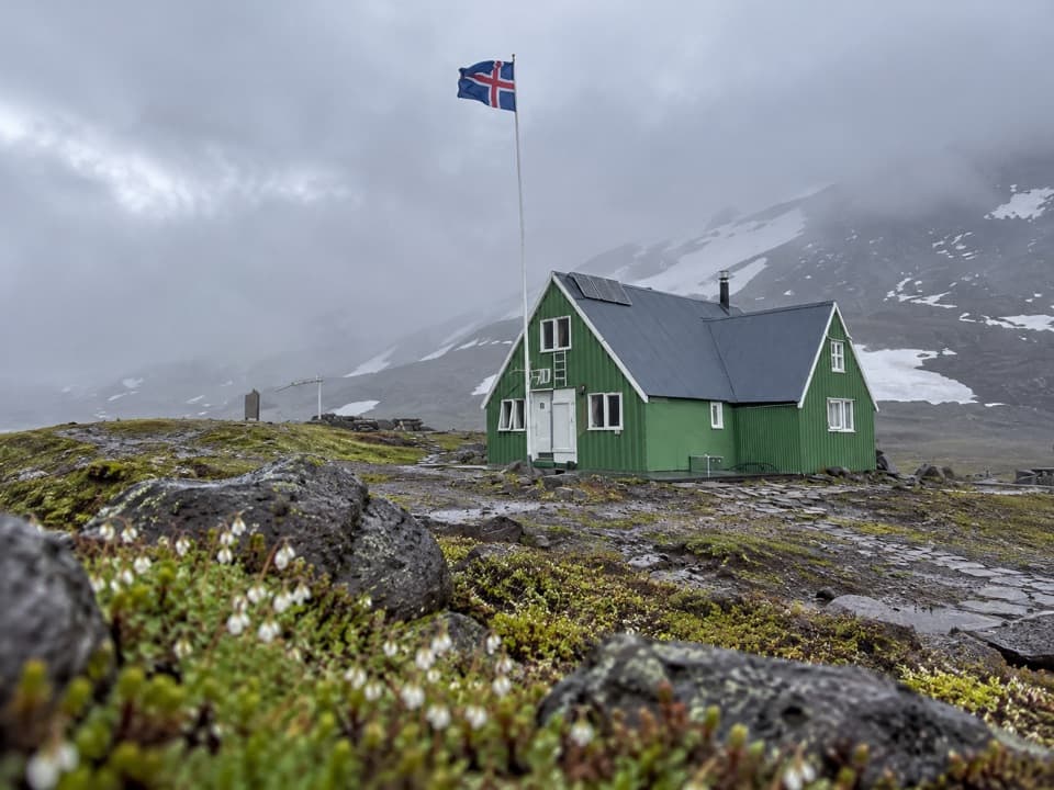
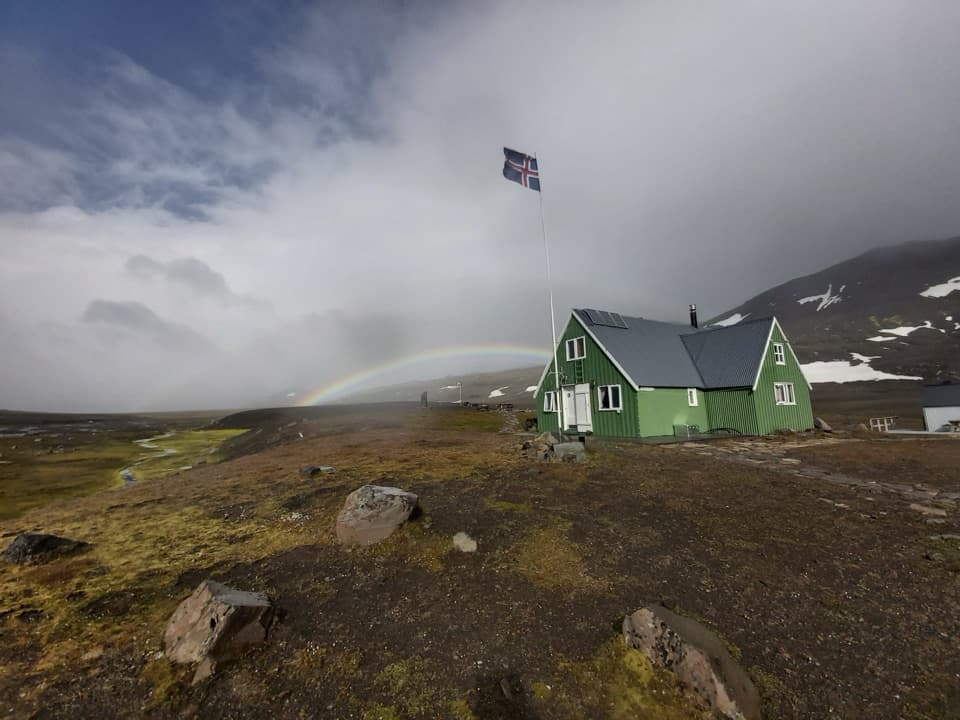
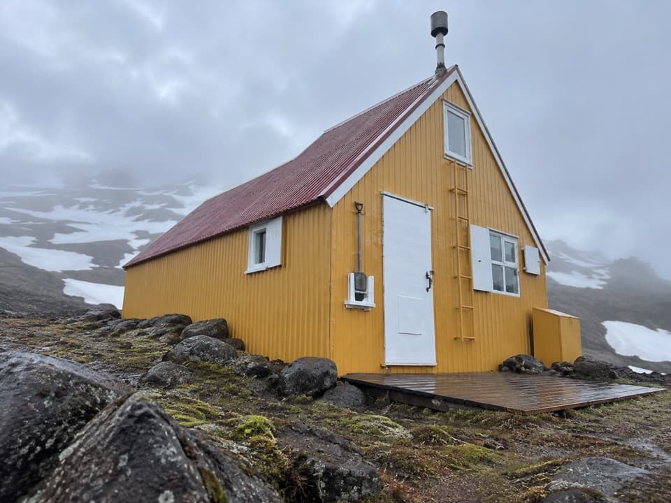
Access to the Snæfell highlands is seasonal; check with park staff which road is passable to Eyjabakkafoss before setting out. The route listing gives no formal parking lot or capacity details. Geldingafell hut has a campsite and dry toilet, but the hut is locked year-round; contact its operator ahead for the key code. The regional map is an outline and the route description gives no exact crossing or waymarking details, so confirm the line and river conditions locally.

Wildlife

Wildlife in Vatnajökull

All Vatnajökull wildlife maps

Sighting maps show where each species has been reported across Vatnajökull. Wildlife moves, so no sighting is guaranteed.

Parkwolf’s Vatnajökull ranking

Top-rated trails in Vatnajökull

All 92 trails
  1. 1Svartifoss–Sjónarsker–Sel Loop (S2)Moderate · 5.8 km
  2. 2Dettifoss and Selfoss – West BankEasy · 2.5 km
  3. 3Svartifoss TrailModerate · 3 km
  4. 4Skaftafellsjökull Glacier TrailEasy · 4.1 km
  5. 5Múlagljúfur Canyon TrailModerate · 3.9 km
  6. 6Kristínartindar S4 Summit CircuitChallenging · 17.9 km

Take Parkwolf to Vatnajökull.

The audio tour guide for the drive, plus offline maps, trails, and wildlife heatmaps for when the signal drops.

4.7 from 8,600+ ratings

Download Parkwolf on the App StoreGet Parkwolf on Google Play