Overview
About Askja – Víti and Öskjuvatn
Why stop
- Two very different crater lakes share one remarkable caldera view.
Heads up
- The remote, seasonal highland approach needs real planning.
Askja is a vast volcanic caldera in the Dyngjufjöll Mountains, high in Iceland’s interior. From its rim, Víti’s pale crater lake sits in front of the much larger Öskjuvatn, all enclosed by dark volcanic walls. This is a defining highland destination, but it takes planning: the drive is remote and seasonal, and the walk is exposed rather than a quick roadside stop.
 Parkwolf’s verdictA caldera worth the drive
Map
Where it is

The highest, rockiest slopes around here are a summer buffet for grizzly bears.
Vatnajökull Tour Guide
Your drive to Askja – Víti and Öskjuvatn, narrated.
Parkwolf is a GPS audio tour guide for Vatnajökull National Park. As you drive, it chimes in with what’s ahead: hidden gems, upcoming stops, history, geology, and wildlife, right through your car’s speakers.
Recorded for this place
Askja: Víti and Öskjuvatn“You're approaching Vikraborgir, the starting point for the walk into Askja's caldera.”
Plays as you drive up to Askja – Víti and Öskjuvatn in the Parkwolf Vatnajökull Tour Guide.
More stories near here in the app
- The Duck with a Tassel
- First Migration to Africa
- When Summer and Winter Freeze Together
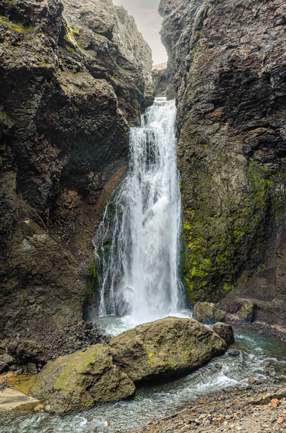
- Dreki and Drekagil Gorge
- 298 audio storiesacross Vatnajökull’s roads, triggered by GPS as you drive
- Wildlife heatmapsfor Grey Seal, Harbor Seal, Caribou, and 13 more
- Works offlinemaps, 92 trails, 75 places, and audio download before you lose signal
- CarPlay readysimple controls built for the drive
“Fantastic app with many points of information… It’s great to just turn on while you’re driving and it gives you an audio tour of the national Park. We love it!!!!”


Guide
More about Askja – Víti and Öskjuvatn
Walking into the calderaThe A1 route starts at Vikraborgir and crosses rough lava and an open caldera floor toward both…
The A1 route starts at Vikraborgir and crosses rough lava and an open caldera floor toward both lakes. Víti appears suddenly as you reach the rim. The route is rated easy and listed at 2.5 km and about two hours, but the distance isn’t marked as one way or round trip; use the time as your planning guide. Uneven lava and open highland weather can make the walk feel more demanding than “easy” suggests.
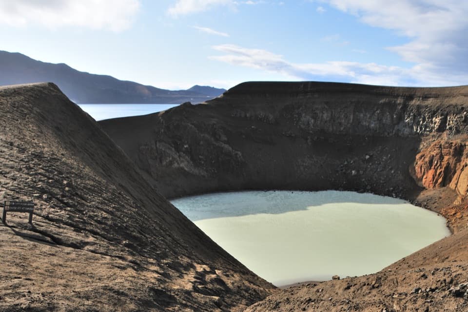
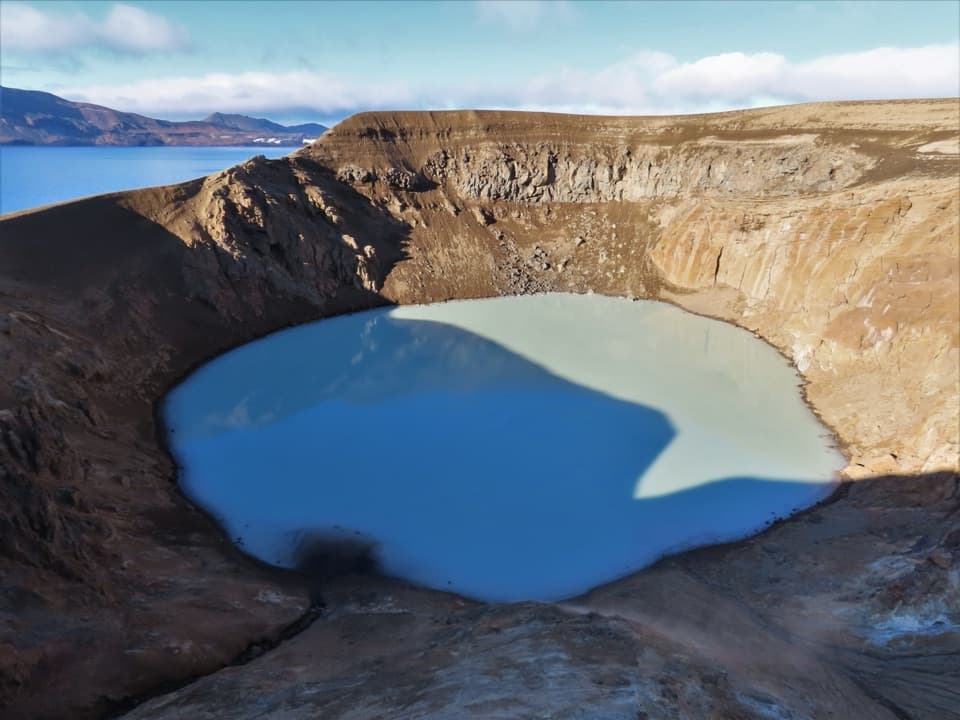
Víti is warm, but take the rim seriouslyVíti is a water-filled maar, an explosive crater formed at the end of Askja’s 1875 eruption.
Víti is a water-filled maar, an explosive crater formed at the end of Askja’s 1875 eruption. Its water is usually above 20°C and more than 8 m deep at the center. The park warns that the sloping descent can be slippery, mud at the bottom can be hot, and rocks may fall from the crater edge. Stay on the rim path unless current park guidance says otherwise; don’t assume a dip is safe or permitted.
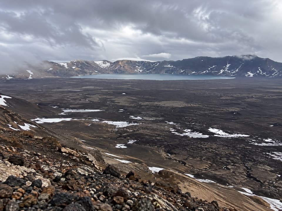
Öskjuvatn and the caldera’s scaleÖskjuvatn lies in Askja’s southeast corner and formed when the magma chamber’s roof collapsed…
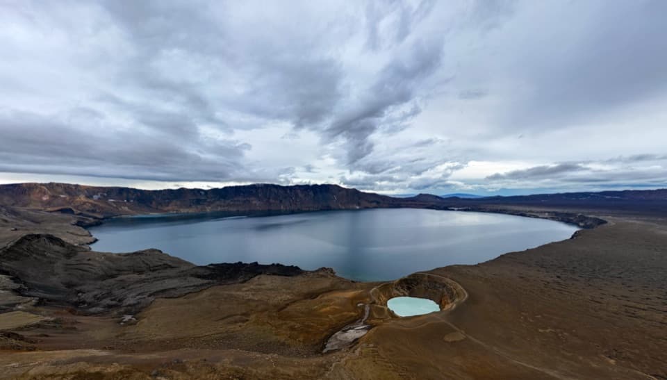
Öskjuvatn lies in Askja’s southeast corner and formed when the magma chamber’s roof collapsed after the 1875 eruption. At more than 200 m deep, it’s Iceland’s deepest lake. The contrast is the fun part: a small turquoise crater in front, then a broad blue lake against the steep caldera wall.
Eruptions that changed the landscape and livesAskja’s floor sits about 1,100 m above sea level, surrounded by rim edges around 1,300–1,500 m.
Askja’s floor sits about 1,100 m above sea level, surrounded by rim edges around 1,300–1,500 m. A major ash eruption helped form the caldera near the end of the Ice Age; later eruptions laid lava across the floor. The 1875 eruption sent pumice and ash far enough to destroy vegetation and drive people from settlements in the region. Askja’s most recent eruption, in 1961, formed the Vikrahraun lava field. The stark terrain also drew Apollo astronauts here for lunar-surface training.
A memorial on the walkThe A1 route includes a memorial and guest book for German volcanologists Walter von Knebel and…
The A1 route includes a memorial and guest book for German volcanologists Walter von Knebel and Max Rudloff, who disappeared in the area in 1907. It’s a quiet human detail in a landscape otherwise measured in craters, lava and enormous distances.
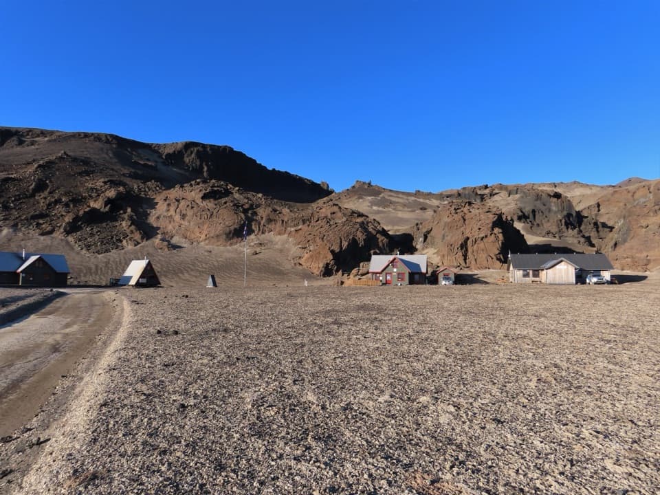
Plan for the highlandsVikraborgir has parking and toilet facilities, but there are no shops, restaurants or gas…
Vikraborgir has parking and toilet facilities, but there are no shops, restaurants or gas stations in the Askja area. Bring food and fuel from farther out. The mountain roads are usually open only for part of summer, roughly late June through September, and the dates shift with weather and road conditions. Check current road openings, river crossings and forecasts before setting out.
Frame both lakes from the rimFor the classic view, include Víti in the foreground and Öskjuvatn with its caldera wall behind…
For the classic view, include Víti in the foreground and Öskjuvatn with its caldera wall behind it. A wide composition makes the relationship between the two lakes clear; there’s no need to descend toward the water for a stronger frame.
Wildlife
Wildlife in Vatnajökull
 23 sightingsGrey SealMost seen around 5 AMSighting map
 260 sightingsHarbor SealMost seen around 11 AMSighting map
 184 sightingsCaribouMost seen around 7 PMSighting map
 62 sightingsArctic FoxMost seen around 8 PMSighting map
 169 sightingsWhooper SwanMost seen around 5 PMSighting map
 68 sightingsAtlantic PuffinMost seen around 7 PMSighting map
Sighting maps show where each species has been reported across Vatnajökull. Wildlife moves, so no sighting is guaranteed.