Parking
Start at the parking lot by Eystri-Fellsfjara, east of Jökulsá.
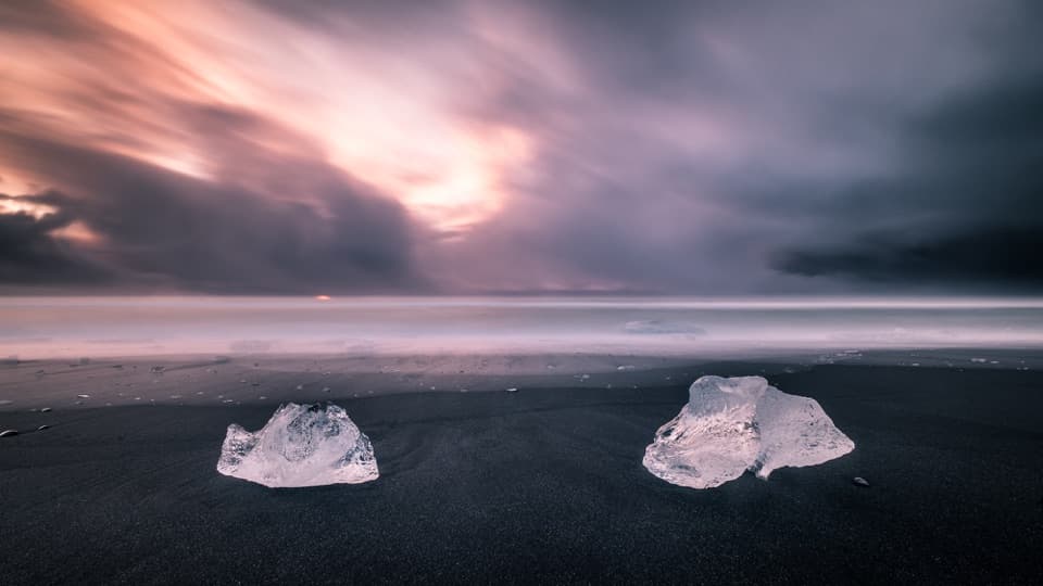
Vatnajökull National Park
Glacial ice, black sand, and an easy riverside walk.
Photo: Giuseppe Milo, CC BY 3.0, via Wikimedia Commons
Overview
Map & elevation
Plan your hike

The highest, rockiest slopes around here are a summer buffet for grizzly bears.
Vatnajökull Tour Guide
Parkwolf is a GPS audio tour guide for Vatnajökull National Park. As you drive, it chimes in with what’s ahead: hidden gems, upcoming stops, history, geology, and wildlife, right through your car’s speakers.
Recorded for this trailhead
Fellsfjara: Diamond Beach“Up ahead is Fellsfjara, better known as Diamond Beach, where pieces of glacial ice can wash onto black sand. The ice comes through Jökulsárlón and down the river before the waves carry it ashore.”
Plays as you drive up to this trailhead in the Parkwolf Vatnajökull Tour Guide.
More stories near here in the app
“Fantastic app with many points of information… It’s great to just turn on while you’re driving and it gives you an audio tour of the national Park. We love it!!!!”


Trail guide
Eystri-Fellsfjara (B2) is an easy out-and-back from the parking lot on the east side of Jökulsá, with a beach and glacial river at the end. The official round-trip figure is 1 km and 20 minutes. The mapped line to the far end is about 590 m one way, so walking back along the same path makes it roughly 1.2 km; allow 20 to 30 minutes if you stop at the exhibition and beach.
The route heads south from the lot to a photo exhibition, then continues down to the black-sand beach. From there it turns west toward Jökulsá and follows the river north, passing under the bridge toward Jökulsárlón. The approach is short and nearly level; the mapped path is gravel and rock before the sandy shore. Turn around at the lagoon end and retrace the same way.
Fragments from Breiðamerkurjökull travel through Jökulsárlón and down Jökulsá before waves carry them onto the shore. The pale pieces stand out against the dark sand. Their number and position change with tide, weather and season, so the beach may look quite different from one visit to the next.
The exhibition includes photographs by Ragnar Th. from around Vatnajökull National Park. Farther along, interpretation signs cover wildlife and the retreat of Breiðamerkurjökull. The walk is a quick way to connect the ice on the beach with the glacier and river system that brought it there.
Start at the lot by Eystri-Fellsfjara, east of Jökulsá. Waves can arrive on the beach without warning; keep well back from the water and do not climb on ice, especially near the sea. For a photograph, frame an ice fragment with some of the black sand around it, and stay on the safe side of the shoreline.
Wildlife
 23 sightingsGrey SealMost seen around 5 AMSighting map
 260 sightingsHarbor SealMost seen around 11 AMSighting map
 184 sightingsCaribouMost seen around 7 PMSighting map
 62 sightingsArctic FoxMost seen around 8 PMSighting map
 169 sightingsWhooper SwanMost seen around 5 PMSighting map
 68 sightingsAtlantic PuffinMost seen around 7 PMSighting map
Sighting maps show where each species has been reported across Vatnajökull. Wildlife moves, so no sighting is guaranteed.
Keep exploring
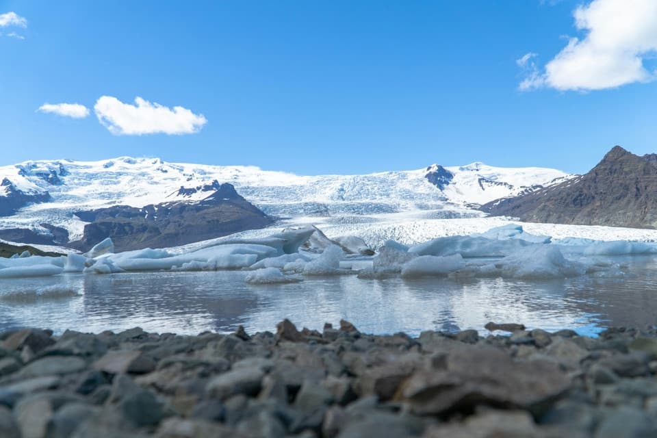 ModerateFjallsárlón B4 Loop1.5 km · 45 min · 9.7 km awayA short loop for a close look at Fjallsárlón.
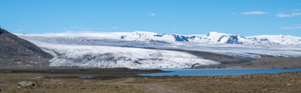 ChallengingBreiðármörk (B3) Trail15 km · 4.5 hr · 9.7 km awayA long crossing over rocky sand between glacier-fed lagoons.
 ModerateMúlagljúfur Canyon Trail3.9 km · 1.8 hr · 13.9 km awayClimb to a canyon rim with two waterfalls in view.
 Beach · At the trailheadFellsfjara (Diamond Beach)When ice washes ashore, blue blocks glow against black sand.
 Sight · 0.4 km awayJökulsárlón Glacier LagoonIcebergs drift through a lagoon still growing at the glacier’s edge.
 Sight · 9.7 km awayFjallsárlón Glacier LagoonA glacier-front lagoon where icebergs drift past the shore.
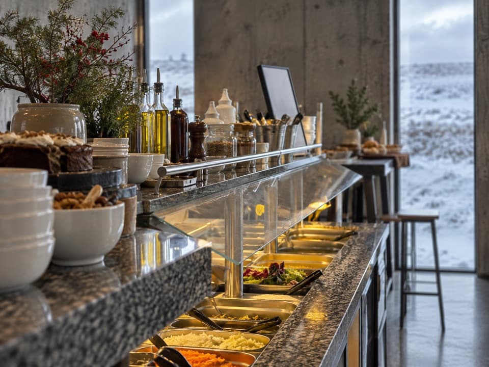 Restaurant · 9.8 km awayFROST RestaurantA hot buffet with glacier views beside the lagoon.
Parkwolf’s Vatnajökull ranking

The audio tour guide for the drive, plus offline maps, trails, and wildlife heatmaps for when the signal drops.



