
Place · 0 mi away
Challenging
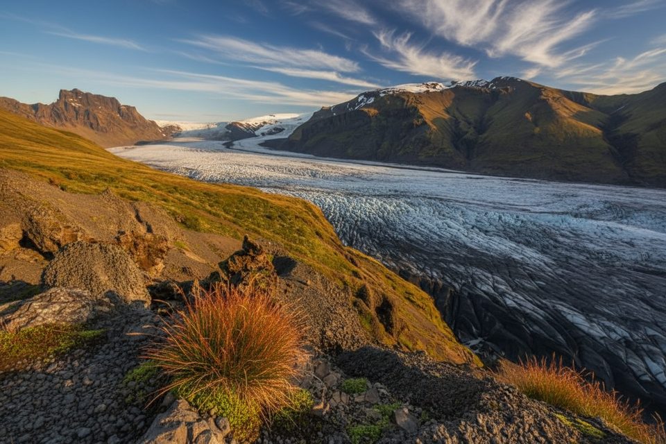
This is Skaftafell’s big day out: a roughly 10-mile total loop with about 2,670 feet of gain that strings together basalt-column waterfalls, high heathland, and balcony views over a glacier and its lagoon. It’s a rigorous hike, but the elevation is spread out so it feels steady rather than punishing. Note: on official park signage the Skaftafellsheiði loop is signed S3 (S5 is the separate Sjónarnípa route). Follow the S-numbers on park signs rather than third‑party labels.
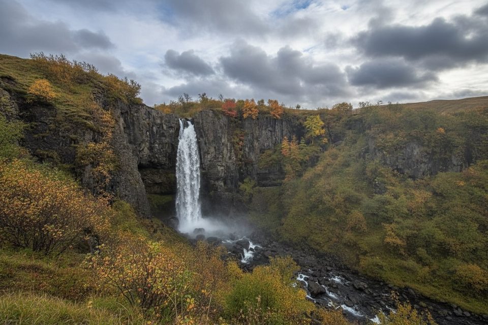
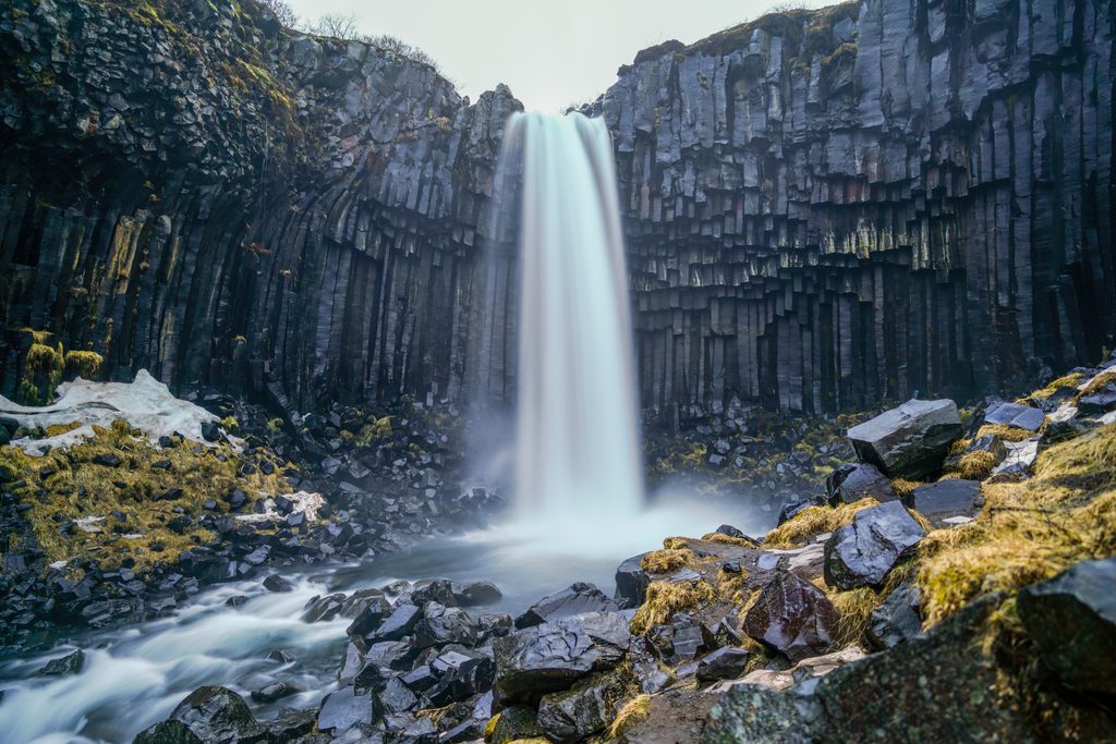
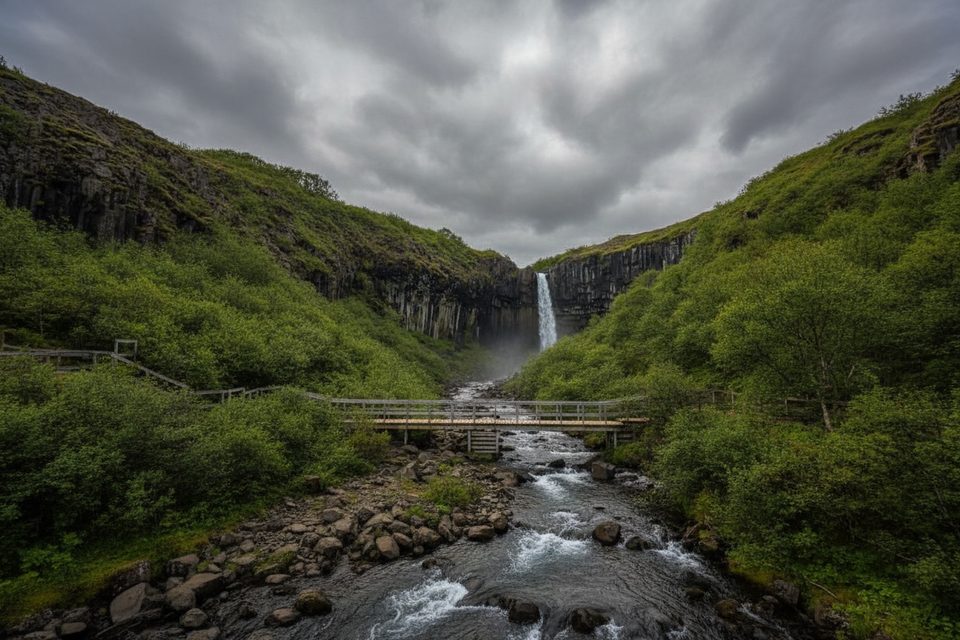
Start at the Skaftafell Visitor Centre and head toward the waterfalls. You’ll pass Hundafoss early—about 78 feet of white water pouring off a gray cliff into lush vegetation—before the headline act at Svartifoss. Svartifoss is framed by striking, inverted columnar basalt: as basalt cools quickly, it fractures into hexagonal columns; when the surrounding material erodes away, those dark organ-pipe walls remain. The spur to Svartifoss alone can take up to two hours roundtrip from the visitor area, which explains the crowds here.
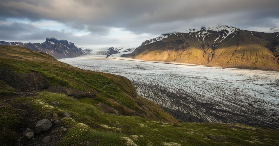
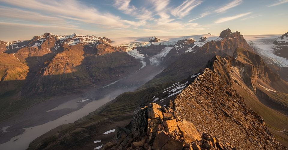
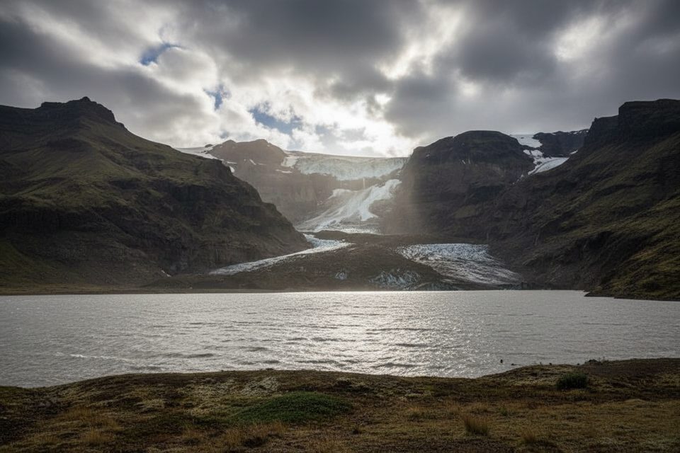
From the falls, climb onto the rock-strewn Skaftafellsheiði plateau for expansive glacier scenery. In clear weather, you can glimpse Morsárfoss—the country’s tallest waterfall—across the Morsá River valley, and look out toward Skeiðarárjökull. The loop semi-circles the jagged Kristínartindar massif, delivering wide, 270-degree views even without the summit. The descent trends toward Sjónarnípa, a dramatic viewpoint over the ash-streaked Skaftafellsjökull glacier and its lagoon dotted with ice chunks, before returning to the Visitor Centre via Austurbrekkur.
It’s a solid, full-day loop for most hikers: long, exposed in places, and with meaningful elevation gain. The most taxing bits are the sustained grade to Svartifoss (steeper than its “easy” reputation suggests) and a long section of loose, uneven scree on the descent—excellent views, but it will chew up tired knees. Trekking poles help a lot.
Spring mud often closes the Skaftafellsheiði loop until mid-June; always check status at the Visitor Centre before heading out. Shoulder and winter conditions can leave icy stretches on higher sections; bring microspikes if it’s slick and keep well back from cliff edges near Sjónarnípa. Summer brings the best footing and longest days; start early or late to enjoy Svartifoss with fewer people and softer light over the glacier.
You’ll hike through heath and shrub birch—yes, actual (short) trees—then onto bare volcanic terrain shaped by repeated eruptions and relentless ice. The stark contrast between dark basalt, green slopes, and blue-white ice is the story of Skaftafell in a single loop.
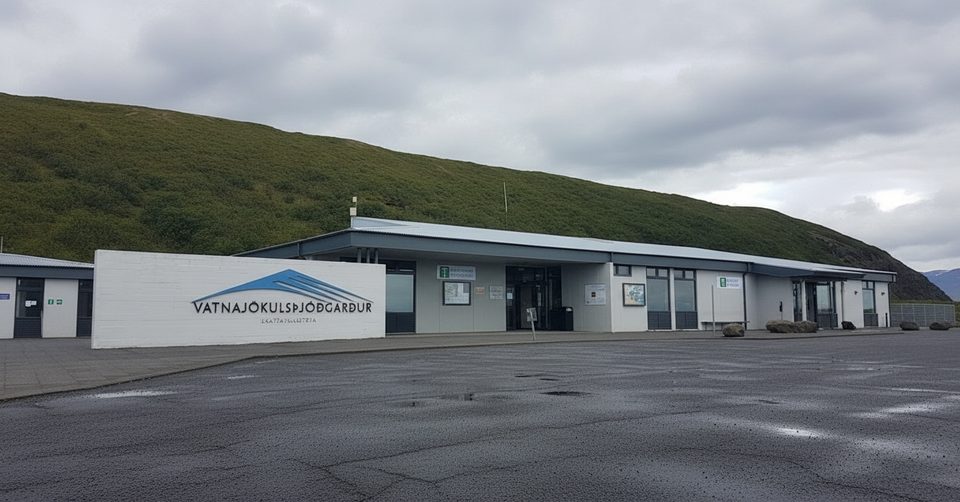
Park at Skaftafell Visitor Centre; large paid lot (sometimes online-only). Toilets and information available at the start.
Expect long stretches of loose scree on the descent, steep grades near Svartifoss, cliff exposure at Sjónarnípa, rapid weather changes, and potential seasonal closures (often until mid-June). In icy conditions, carry microspikes and use trekking poles.
Place · 0 mi away
Place · 0.2 mi away
Place · 0.5 mi away
Place · 0.8 mi away
Moderate · 0 mi away
Challenging · 0 mi away
Moderate · 0 mi away
Moderate · 0 mi away

Parkwolf Tour Guide
