Parking
Start at Skaftafellsstofa / Skaftafell Visitor Centre, where the S2 loop begins. Use the visitor-centre parking area, then follow S2 signs through the campground and uphill.

#1 of 92 trails in Vatnajökull
Vatnajökull National Park
Waterfall, basalt columns, open views and a turf farm in one loop.
Photo: dconvertini, CC BY-SA 2.0, via Wikimedia Commons
Overview
Map & elevation
Plan your hike

The highest, rockiest slopes around here are a summer buffet for grizzly bears.
Vatnajökull Tour Guide
Parkwolf is a GPS audio tour guide for Vatnajökull National Park. As you drive, it chimes in with what’s ahead: hidden gems, upcoming stops, history, geology, and wildlife, right through your car’s speakers.
Recorded for this trailhead
Skaftafell: Waterfall or Glacier Walk“You're nearing Skaftafell, the starting point for walks to Svartifoss and the glacier. Start at the visitor centre if you haven't chosen a route.”
Plays as you drive up to this trailhead in the Parkwolf Vatnajökull Tour Guide.
More stories near here in the app
“Fantastic app with many points of information… It’s great to just turn on while you’re driving and it gives you an audio tour of the national Park. We love it!!!!”


Trail guide
Svartifoss–Sjónarsker–Sel is a 5.8 km (3.6 mi) loop from Skaftafellsstofa. It climbs to Svartifoss, crosses higher ground to the wide view at Sjónarsker, passes the turf-roofed farm at Sel, then returns by Lambhagi. That makes this a better choice than turning back at the waterfall if you want a full Skaftafell walk: the view and farm give the second half its own payoff. The published estimate is two hours; allow closer to two to two and a half hours if you stop at the falls and Sel.
The route begins beside the visitor centre and spends its first 250 metres crossing the campground. Then it turns right and climbs. The first ascent gains about 140 metres in 1.5 km toward the viewpoint above Svartifoss. Hundafoss and Magnúsarfoss break up the forested climb, and the route is well marked. This is the main effort of the loop, so expect more than a flat stroll even though the park rates it easy.
At the waterfall viewpoint, the full S2 route drops into the ravine, crosses a footbridge, and climbs basalt-column steps on the far side. Svartifoss is a narrow fall framed by a dark amphitheatre of columnar rock. The upper view shows the whole setting; from the lower path you see the stream and columns closer up. For a photo, keep the waterfall between the basalt walls so the columns show how the ravine wraps around it. Stay on the marked path for both views.
After the waterfall section, the route reaches Sjónarsker and its open, all-directions view in good visibility. Look across the broad outwash plain and the braided rivers below; it feels like a different landscape from the sheltered forest near the falls. Cloud or poor visibility can hide much of that panorama, so the waterfall and Sel remain worthwhile even when the view is limited.
Sel is the history stop on the return. A farm stood here from around 1832; the buildings now standing date to 1912, and farming ended in 1946. The cow barn occupied the ground floor, with living quarters above it so the family could use the animals’ warmth. That arrangement lasted in Skaftafell longer than in most parts of Iceland. Take a moment to look at the sod roofs against the open plain before continuing toward Lambhagi.
Most of the trail is compacted soil or mats, but there are wooden platforms and several wooden and stone steps, especially at Svartifoss. Wet summer surfaces can be slippery; winter snow and ice can make them very slippery. The route details list about 250 metres of elevation in total, and the climb may be hard for people with weak legs or poor health. Start at Skaftafellsstofa / Skaftafell Visitor Centre and follow the S2 signs through the campground; the visitor-centre parking area is the access for this loop.
Wildlife
 23 sightingsGrey SealMost seen around 5 AMSighting map
 260 sightingsHarbor SealMost seen around 11 AMSighting map
 184 sightingsCaribouMost seen around 7 PMSighting map
 62 sightingsArctic FoxMost seen around 8 PMSighting map
 169 sightingsWhooper SwanMost seen around 5 PMSighting map
 68 sightingsAtlantic PuffinMost seen around 7 PMSighting map
Sighting maps show where each species has been reported across Vatnajökull. Wildlife moves, so no sighting is guaranteed.
Keep exploring
ModerateSvartifoss Trail3 km · 1.3 hr · At the trailheadA steady climb to a waterfall framed by basalt columns.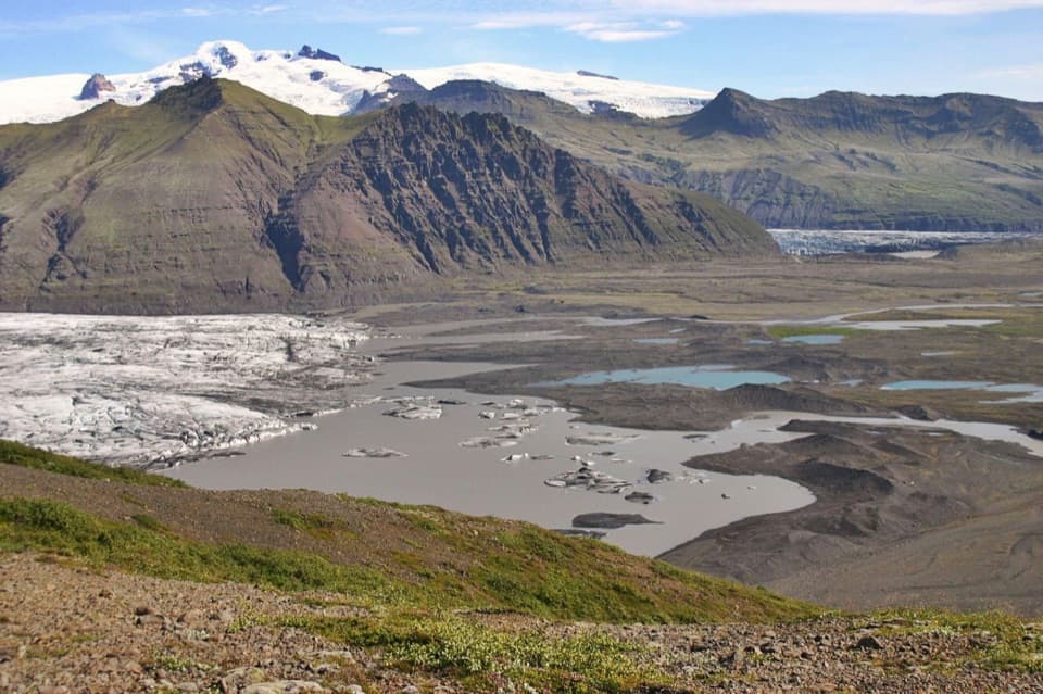 ChallengingSjónarnípa Loop (S5)6.5 km · 2.5 hr · At the trailheadClimb above Skaftafellsjökull for a glacier and lagoon view.
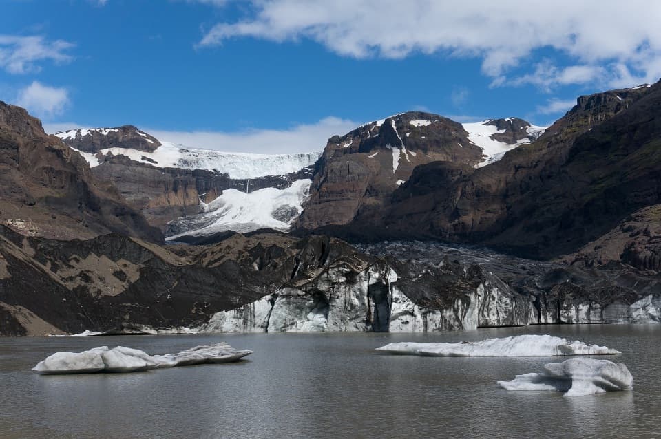 ChallengingMorsárjökull Trail (M2)19.5 km · 6.5 hr · At the trailheadA full-day loop to the lake beneath Morsárjökull’s ice cliff.ChallengingSvartifoss–Sjónarnípa Loop (S6)7.1 km · 2.8 hr · At the trailheadBasalt falls and a glacier overlook share one rewarding loop.
 EasySkaftafellsjökull Glacier Trail4.1 km · 1.3 hr · At the trailheadA gentle loop through the landscapes left as the glacier retreated.
 ChallengingKristínartindar S4 Summit Circuit17.9 km · 7 hr · At the trailheadA difficult summit loop above Skaftafell's glacier valleys.
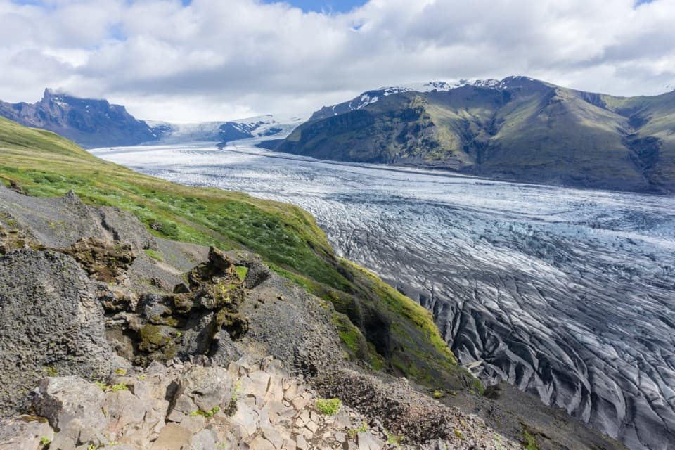 ChallengingSkaftafellsheiði (S3) Loop16.6 km · 5.5 hr · At the trailheadCircle between two glaciers, then look over the Skeiðarársandur plain.
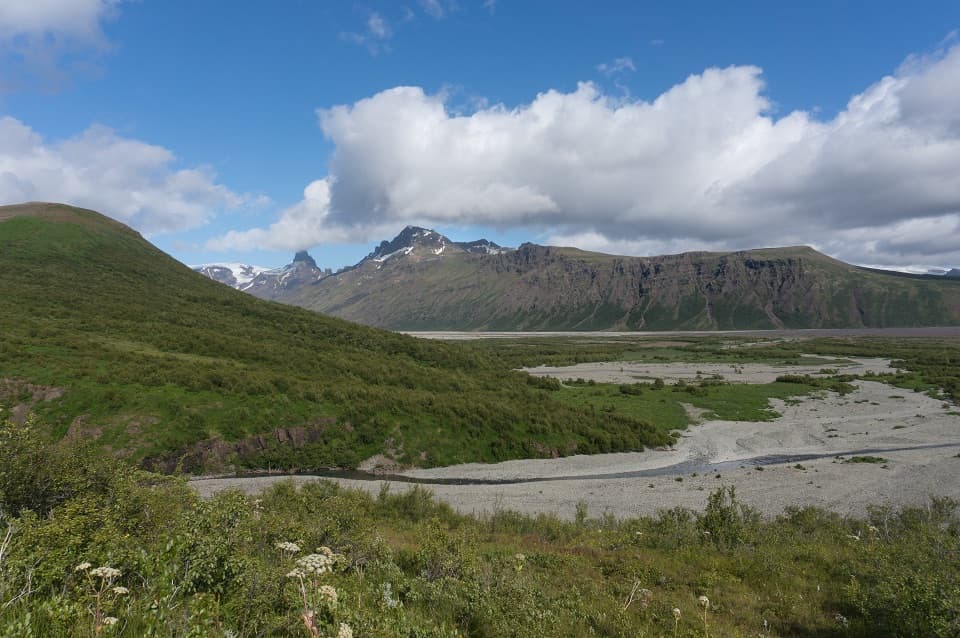 ModerateBæjarstaðarskógur Loop (M1)15.3 km · 4.5 hr · At the trailheadA long loop through birch forest, ravines and a river valley.
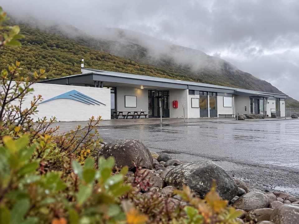 Visitor center · At the trailheadSkaftafellsstofa Visitor CentreGet trail advice before choosing between glacier and waterfall walks.
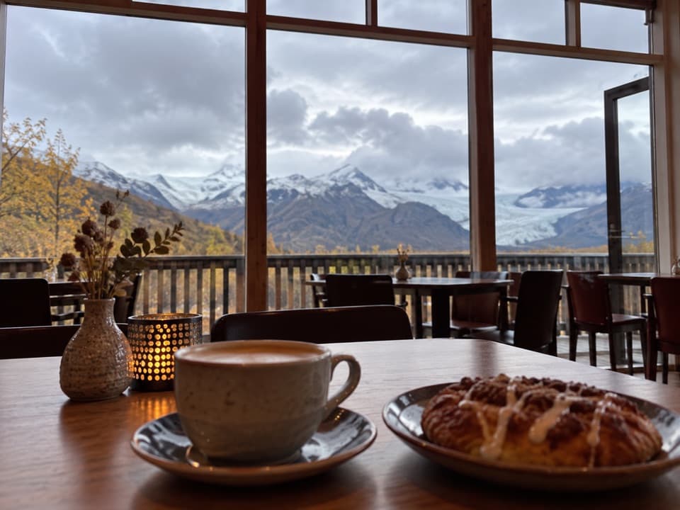 Restaurant · At the trailheadEyðimörk BistroA warm bowl of homemade tomato soup after the glacier walk.
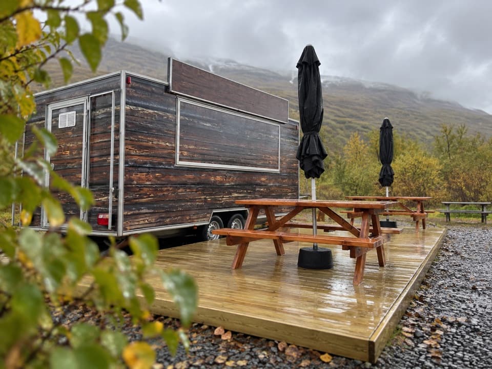 Food · At the trailheadGlacier GoodiesA hot fish-and-chips stop after your hike
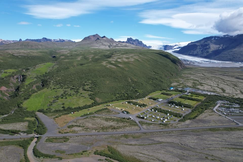 Campground · 0.3 km awaySkaftafell CampgroundA 400-tent trail base with showers, laundry and glacier views
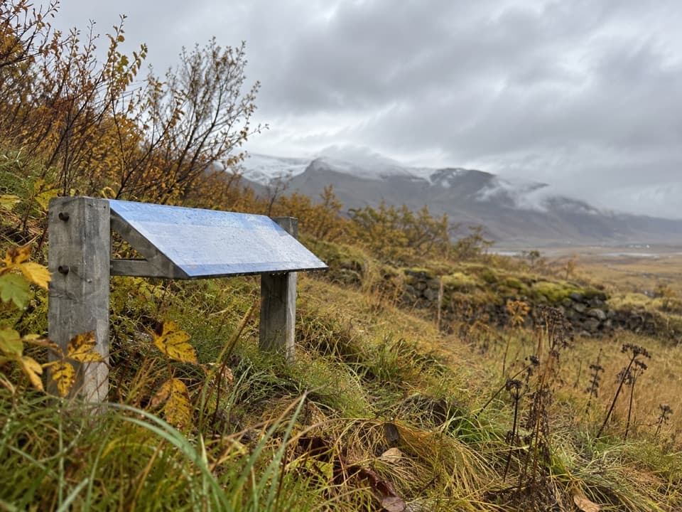 Sight · 0.6 km awayGömlutún Historic Farm RuinsFarm ruins with a story shaped by glacial rivers.
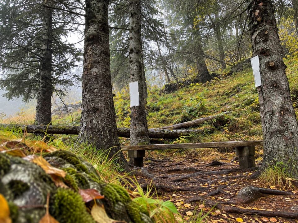 Sight · 0.8 km awayLambhagiA short walk to an old lamb-weaning enclosure.
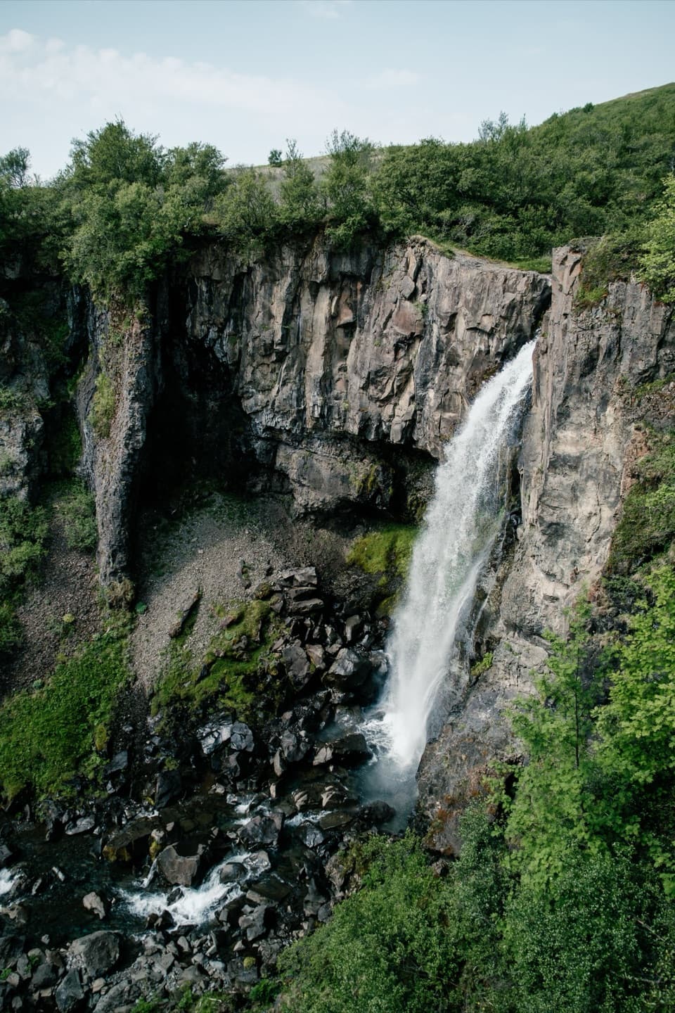 Sight · 0.8 km awayHundafossA worthwhile waterfall pause on the way to Svartifoss.
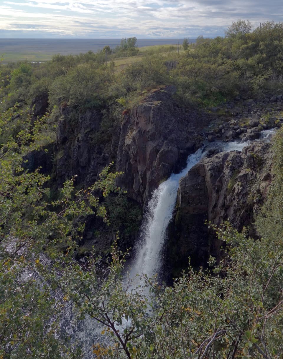 Sight · 0.8 km awayMagnúsarfoss and Historic Power StationA small waterfall with a surprising 1920s power story.
Parkwolf’s Vatnajökull ranking

The audio tour guide for the drive, plus offline maps, trails, and wildlife heatmaps for when the signal drops.