Overview
About Gömlutún Historic Farm Ruins
Why stop
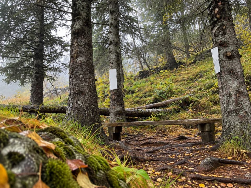
- Five interpretation signs connect the farm remains to Skaftafell’s settlement history.
Map
Where it is

The highest, rockiest slopes around here are a summer buffet for grizzly bears.
Vatnajökull Tour Guide
Your drive to Gömlutún Historic Farm Ruins, narrated.
Parkwolf is a GPS audio tour guide for Vatnajökull National Park. As you drive, it chimes in with what’s ahead: hidden gems, upcoming stops, history, geology, and wildlife, right through your car’s speakers.
Recorded for this place
Skaftafell: Waterfall or Glacier Walk“You're nearing Skaftafell, the starting point for walks to Svartifoss and the glacier. Start at the visitor centre if you haven't chosen a route.”
Plays as you drive up to Gömlutún Historic Farm Ruins in the Parkwolf Vatnajökull Tour Guide.
More stories near here in the app
- The Woods Iceland Lost
- Skeiðará Bridge Monument: The 1996 Flood
- Svínafellsjökull Viewpoint
- The Last Gap in the Ring Road
- 298 audio storiesacross Vatnajökull’s roads, triggered by GPS as you drive
- Wildlife heatmapsfor Grey Seal, Harbor Seal, Caribou, and 13 more
- Works offlinemaps, 92 trails, 75 places, and audio download before you lose signal
- CarPlay readysimple controls built for the drive
“Fantastic app with many points of information… It’s great to just turn on while you’re driving and it gives you an audio tour of the national Park. We love it!!!!”


Guide
More about Gömlutún Historic Farm Ruins
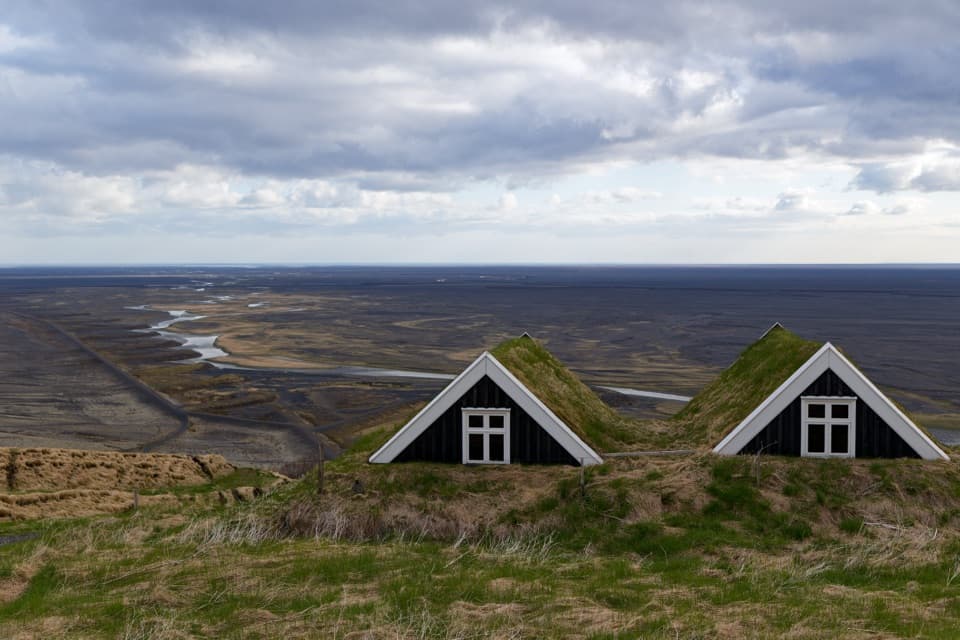
A short walk through farm remainsGömlutún is the site of old farm buildings on the lower slope of Skaftafellsheiði, in…
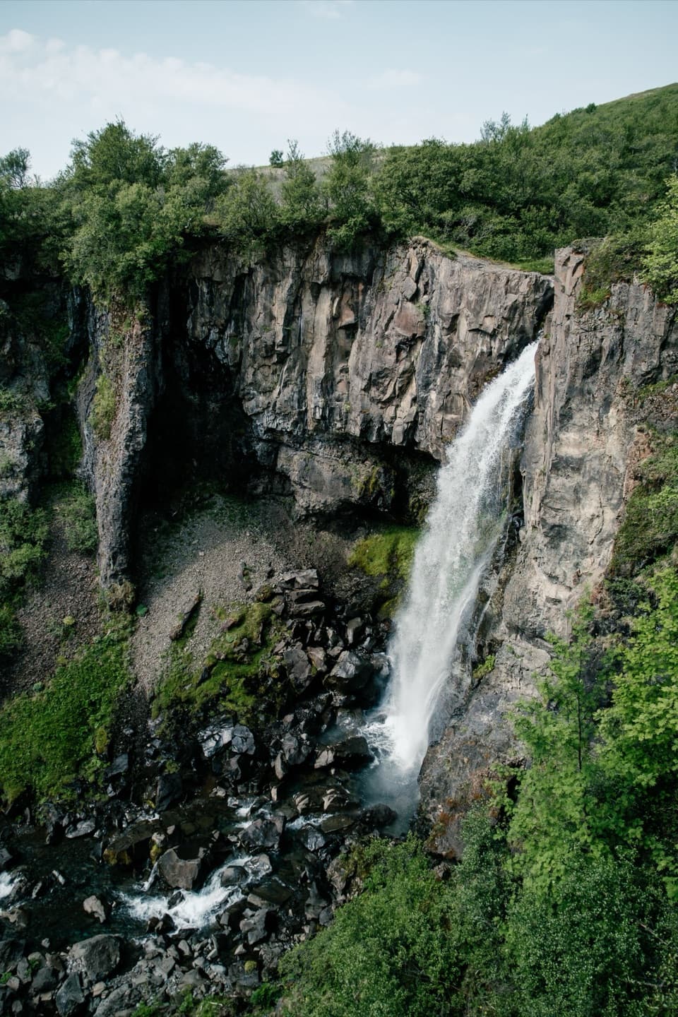
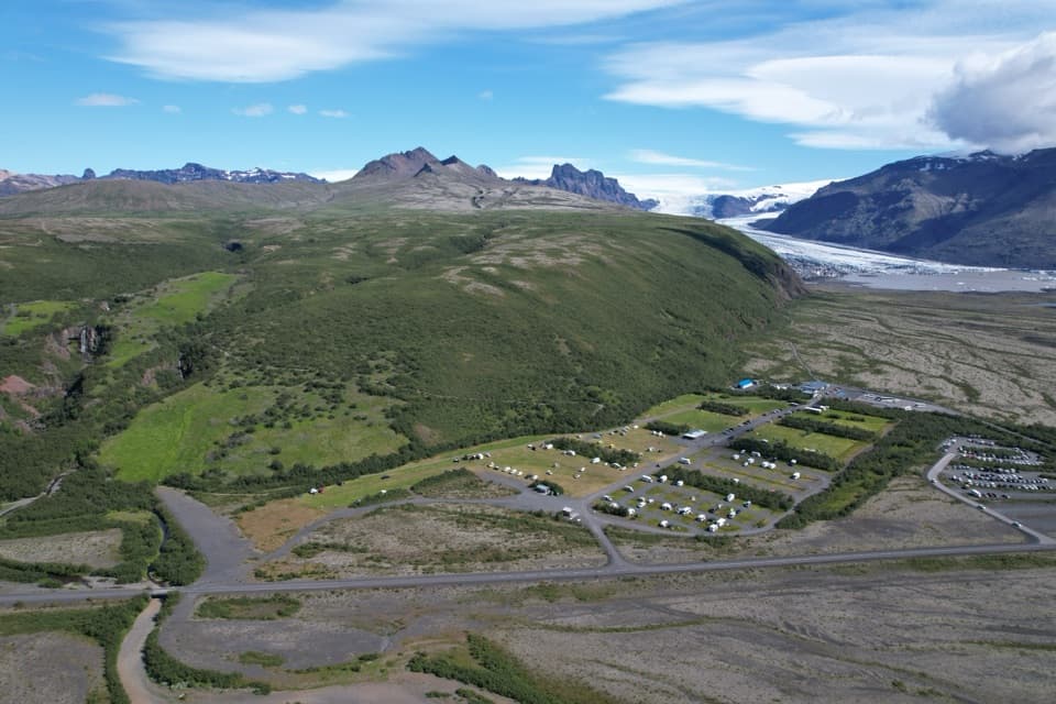
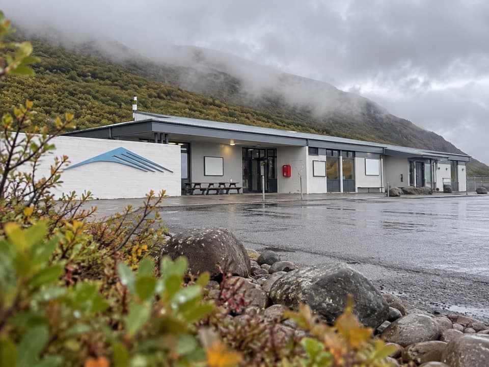
Gömlutún is the site of old farm buildings on the lower slope of Skaftafellsheiði, in Skaftafell. Start the marked S7 loop in front of Skaftafellsstofa; it passes through the ruins and covers 1.6 km in about 30 to 60 minutes. The route is rated easy and family friendly, making this a compact history stop rather than a long hike.
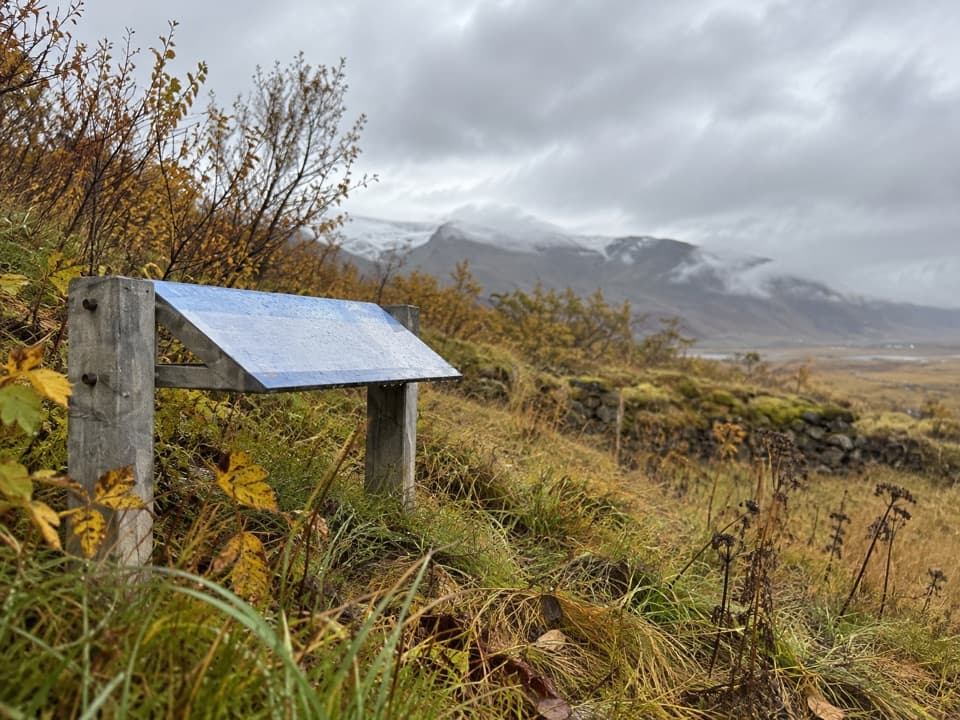
What the signs explainFive interpretation signs cover the area's history and settlement in Öræfi, including how…
Five interpretation signs cover the area's history and settlement in Öræfi, including how glacial waters and volcanic eruptions affected where people lived. The old farm ground has not been mown for a long time, yet forest has not reclaimed it; that open patch is part of what makes the old site legible in the landscape.
Why the farm moved uphillGlacial rivers covered the lowland fields and meadows, so residents moved the Skaftafellsbær…
Glacial rivers covered the lowland fields and meadows, so residents moved the Skaftafellsbær farm up the hillside and continued farming there. The ruins connect that practical change to the larger story of living with water and eruptions in Öræfi.
Wildlife
Wildlife in Vatnajökull
 23 sightingsGrey SealMost seen around 5 AMSighting map
 260 sightingsHarbor SealMost seen around 11 AMSighting map
 184 sightingsCaribouMost seen around 7 PMSighting map
 62 sightingsArctic FoxMost seen around 8 PMSighting map
 169 sightingsWhooper SwanMost seen around 5 PMSighting map
 68 sightingsAtlantic PuffinMost seen around 7 PMSighting map
Sighting maps show where each species has been reported across Vatnajökull. Wildlife moves, so no sighting is guaranteed.