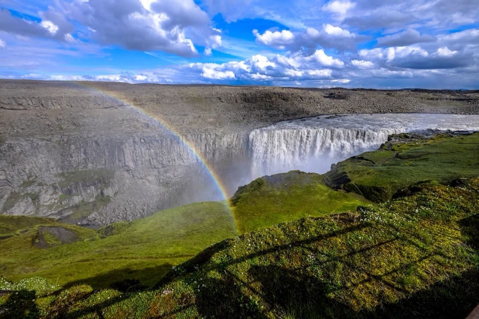
Parking
Follow the gravel side road from Route 1 near Fjallsárlón to the Múlagljúfur Canyon car park (about 2 km). The rough, rutted approach has conflicting vehicle-suitability reports, especially after rain.

#5 of 92 trails in Vatnajökull
Vatnajökull National Park
Climb to a canyon rim with two waterfalls in view.
Overview
Múlagljúfur Canyon Trail is a 2.4-mile (3.86 km) out-and-back from the canyon-mouth car park to the main ridge above Hangandifoss. It climbs about 180 m over a short distance, then opens onto the gorge with Múlafoss tucked farther upstream and Vatnajökull’s ice beyond. Allow 1.5–2 hours. I’d choose it for the canyon reveal, but expect a steady, steep climb rather than a gentle approach.
 Parkwolf’s verdictWhy this hike is worth the climb
Map & elevation
Plan your hike

The highest, rockiest slopes around here are a summer buffet for grizzly bears.
Vatnajökull Tour Guide
Parkwolf is a GPS audio tour guide for Vatnajökull National Park. As you drive, it chimes in with what’s ahead: hidden gems, upcoming stops, history, geology, and wildlife, right through your car’s speakers.
Recorded for this trailhead
Múlagljúfur Canyon“You're approaching the turnoff for Múlagljúfur Canyon, with about two kilometres of rough gravel before the car park.”
Plays as you drive up to this trailhead in the Parkwolf Vatnajökull Tour Guide.
More stories near here in the app
“Fantastic app with many points of information… It’s great to just turn on while you’re driving and it gives you an audio tour of the national Park. We love it!!!!”


Trail guide
Start from the north end of the lot, where small marker posts lead across an open slope and low brush. The early climb gives you a look back toward Falljökull and Fjallsárlón. The path drops into a gully for one of its small stream crossings, then climbs again toward the ridge. There are several crossings; their number varies with the worn footpaths, and rain or meltwater can raise the water.
The canyon stays mostly hidden until the main ridge. Then Hangandifoss drops about 120 m down the far wall, while Múlafoss sits deeper toward the head of the gorge. You can also see the glacier, lagoon and coastal lowlands from here. This is the clear payoff and a natural turnaround. For a photo, keep both waterfalls in the frame; the smaller one gives the main fall and the canyon a sense of scale.
The mapped 2.4-mile experience ends at the Hangandifoss viewpoint. A steeper, less formal path continues about 1 km one way toward a higher view over Múlafoss; depending on the turnaround, that makes roughly 5.8–6.4 km (3.6–4 miles) round trip. Marker posts may stop beyond Hangandifoss, and the upper path has narrow exposed sections. I’d turn back at the main ridge unless the tread and conditions are clear.
Glacial rivers draining Vatnajökull have cut the gorge over thousands of years. Its steep walls, mossy ledges and river far below make the scale easier to read from the ridge than from the parking area. Hangandifoss is the tall waterfall on the canyon wall; Múlafoss is the smaller fall farther into the upper gorge. The optional climb gives a closer, higher angle on Múlafoss, but the main viewpoint already shows the two falls together.
Leave Route 1 near Fjallsárlón and follow about 2 km of rough gravel to the canyon-mouth car park. The road can be rutted or washed out, and reports differ on whether an ordinary two-wheel-drive car is suitable; its condition matters. I couldn’t verify the land manager or formal public-access status for this exact path, so check local signs and access before setting out. Pet rules aren’t confirmed either; don’t assume dogs are allowed.
Wildlife
 23 sightingsGrey SealMost seen around 5 AMSighting map
 260 sightingsHarbor SealMost seen around 11 AMSighting map
 184 sightingsCaribouMost seen around 7 PMSighting map
 62 sightingsArctic FoxMost seen around 8 PMSighting map
 169 sightingsWhooper SwanMost seen around 5 PMSighting map
 68 sightingsAtlantic PuffinMost seen around 7 PMSighting map
Sighting maps show where each species has been reported across Vatnajökull. Wildlife moves, so no sighting is guaranteed.
Keep exploring
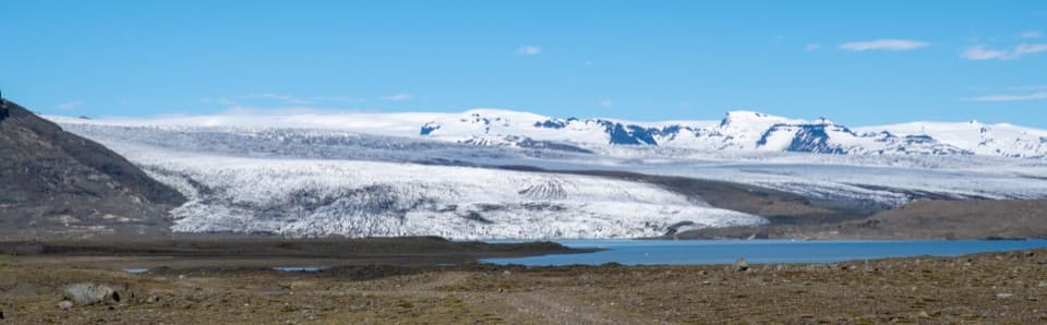 ChallengingBreiðármörk (B3) Trail15 km · 4.5 hr · 4.3 km awayA long crossing over rocky sand between glacier-fed lagoons.
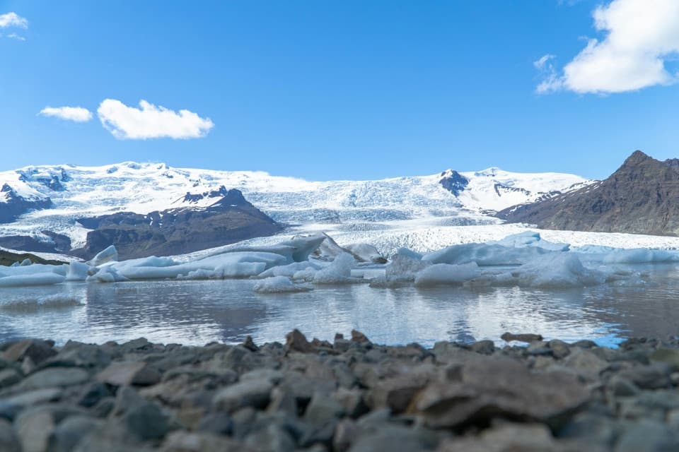 ModerateFjallsárlón B4 Loop1.5 km · 45 min · 4.3 km awayA short loop for a close look at Fjallsárlón.
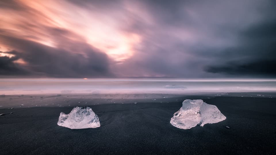 EasyEystri-Fellsfjara (B2) Trail1.2 km · 24 min · 13.9 km awayGlacial ice, black sand, and an easy riverside walk.
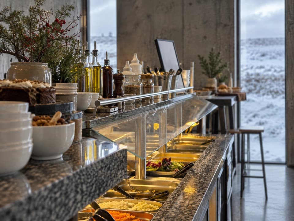 Restaurant · 4.3 km awayFROST RestaurantA hot buffet with glacier views beside the lagoon.
 Sight · 4.3 km awayFjallsárlón Glacier LagoonA glacier-front lagoon where icebergs drift past the shore.
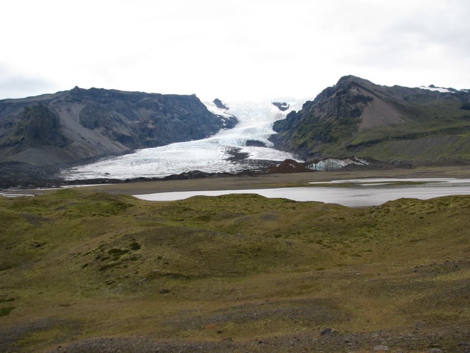 Sight · 6 km awayKvíárjökull GlacierGlacier ice, a young lagoon and hills that mark its retreat.
 Beach · 13.9 km awayFellsfjara (Diamond Beach)When ice washes ashore, blue blocks glow against black sand.
 Sight · 14 km awayJökulsárlón Glacier LagoonIcebergs drift through a lagoon still growing at the glacier’s edge.
Parkwolf’s Vatnajökull ranking
The audio tour guide for the drive, plus offline maps, trails, and wildlife heatmaps for when the signal drops.