Parking
Start at Dettifoss West Parking off paved Route 862; toilets are available at the car park.

#2 of 92 trails in Vatnajökull
Vatnajökull National Park
An easy west-bank loop to Dettifoss and the Selfoss cascades
Overview
Map & elevation
Plan your hike

The highest, rockiest slopes around here are a summer buffet for grizzly bears.
Vatnajökull Tour Guide
Parkwolf is a GPS audio tour guide for Vatnajökull National Park. As you drive, it chimes in with what’s ahead: hidden gems, upcoming stops, history, geology, and wildlife, right through your car’s speakers.
Recorded for this trailhead
Dettifoss and Selfoss: West Bank“You're approaching the west-bank access for Dettifoss, a waterfall powerful enough to make nearby rock vibrate. There's a walk from the car park to the falls; you won't get the full view from the road.”
Plays as you drive up to this trailhead in the Parkwolf Vatnajökull Tour Guide.
More stories near here in the app
“Fantastic app with many points of information… It’s great to just turn on while you’re driving and it gives you an audio tour of the national Park. We love it!!!!”


Trail guide
This is the park’s easy 2.5 km (1.55 mi) loop from Dettifoss West Parking, usually about an hour. It links two waterfalls on the west bank: first Dettifoss, then a southbound walk beside the river to Selfoss, followed by a more westerly return to the same car park. This is the short D2 circuit; it does not continue to Hafragilsfoss. If Dettifoss alone is your aim, the separate D1 is a 1.5 km out-and-back.
The approach from the west car park to Dettifoss is about 1 km one way. The park marks the route as easy and estimates an hour, but leave room to stop at both viewpoints. After Dettifoss, keep south along the river toward Selfoss, then take the more westerly return instead of retracing the whole approach. The loop is compact, so it works well when you want both waterfalls without committing to the much longer Hafragilsfoss walk.
The west-bank viewpoint looks across a waterfall about 100 m wide and 44–45 m high. Dettifoss drops into a narrow basalt canyon, and the force is close enough that the park notes vibrations in nearby rock. Its volume, sound and mist make this the defining stop. Wind can carry spray across the west viewpoint, so protect a camera or phone before composing a shot; stay on the marked path while looking for the broad curtain and the dark canyon walls.
The route follows the river south from Dettifoss to Selfoss, a different kind of waterfall. Instead of one plunge, the river spreads across a broad series of cascades with a drop of about 10 m. From the west side, the channels and rock shelves form a wider scene than Dettifoss’s single powerful drop. This is the loop’s second payoff and the reason to choose D2 over the short Dettifoss-only walk.
The Jökulsá á Fjöllum has carved a striking gorge through this stretch. Just north of Dettifoss, the canyon narrows to about 100 m for roughly 500 m; the park attributes that section to erosion by the waterfall since the end of an outburst flood. Larger canyon passes were shaped over millennia by glacial river flow and outburst floods. Porous lava also shaped the area’s modern history: proposed hydropower reservoirs were abandoned because the rock could not hold the water.
Use the west car park, reached by paved Route 862; the car park has toilets. The east-side approach via gravel Route 864 is a different access and is seasonal. Winter service on the west road is limited, so check road conditions before setting out. On the walk, the route stays beside the river gorge and powerful waterfalls. Keep to marked paths and follow safety signs around the viewpoints; the water and canyon edge make wandering off route consequential.
Wildlife
 23 sightingsGrey SealMost seen around 5 AMSighting map
 260 sightingsHarbor SealMost seen around 11 AMSighting map
 184 sightingsCaribouMost seen around 7 PMSighting map
 62 sightingsArctic FoxMost seen around 8 PMSighting map
 169 sightingsWhooper SwanMost seen around 5 PMSighting map
 68 sightingsAtlantic PuffinMost seen around 7 PMSighting map
Sighting maps show where each species has been reported across Vatnajökull. Wildlife moves, so no sighting is guaranteed.
Keep exploring
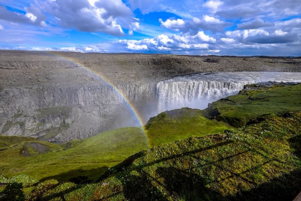 EasyDettifoss West Bank Trail2 km · 45 min · At the trailheadA short west-bank walk to Europe’s most powerful waterfall.
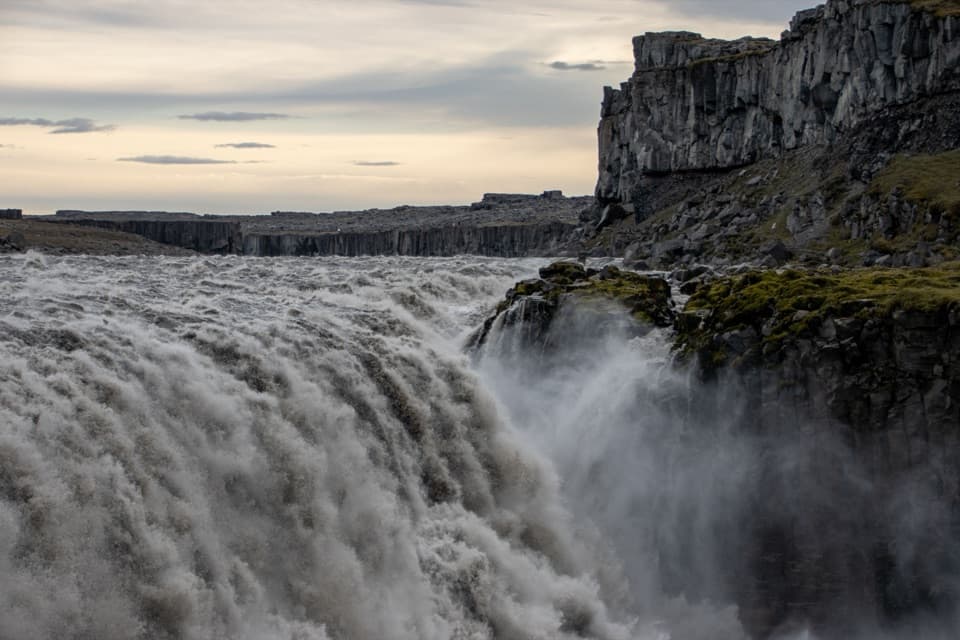 ModerateDettifoss and Selfoss – East Bank3.5 km · 1.5 hr · 1.3 km awayTwo falls, one rugged walk along the east bank
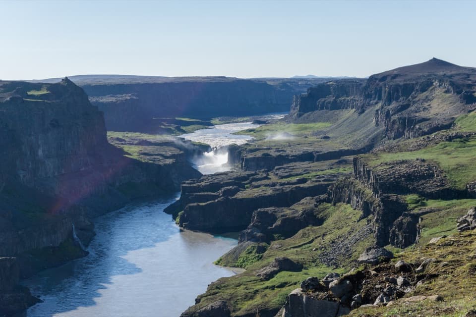 ChallengingHafragil Lowland Loop9 km · 4 hr · 2.7 km awayA steep loop into Hafragil's lower canyon and back.
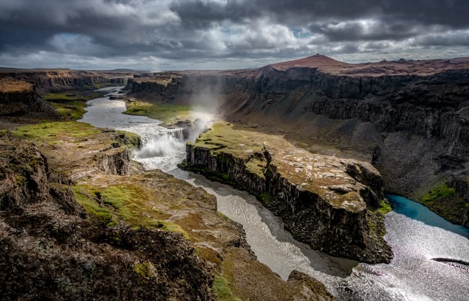 EasyHafragilsfoss East Viewpoint Trail0.4 km · 10 min · 2.7 km awayA quick lava-rim walk to Hafragilsfoss and its canyon.
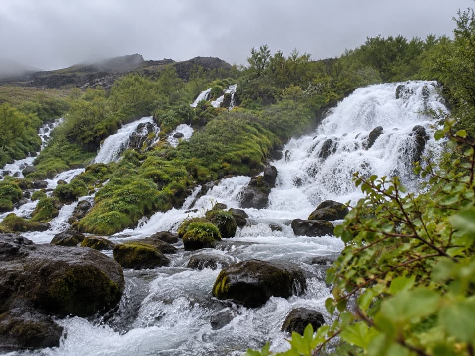 EasyHólmatungur Circle4.5 km · 1.8 hr · 7.5 km awayAn easy riverside loop to Hólmárfossar
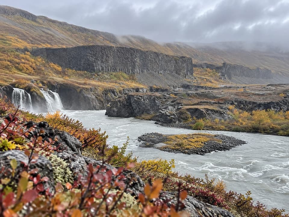 ModerateKatlar Trail2 km · 45 min · 7.5 km awayA short, rocky walk to the Jökulsá’s churning whirlpools.
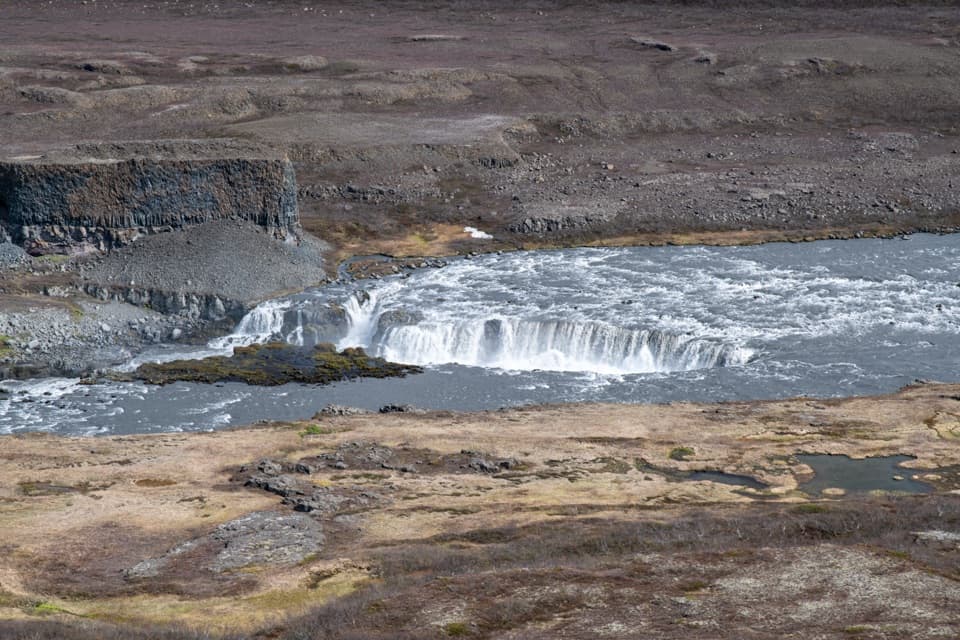 ModerateYtra-Þórunnarfjall Viewpoint Trail0.6 km · 30 min · 7.5 km awayShort out-and-back to a big view over Jökulsárgljúfur canyon
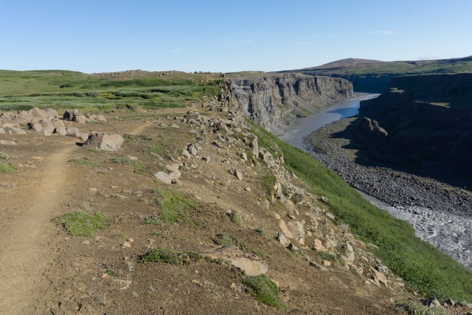 ChallengingHólmatungur – Dettifoss Trail11.5 km · 3 hr · 9.5 km awayA demanding one-way canyon walk from Hólmatungur to Dettifoss.
 Sight · 0.8 km awayDettifossEurope’s most powerful waterfall makes the canyon rock tremble.
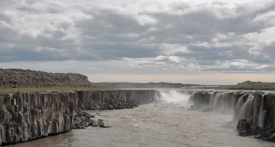 Sight · 0.9 km awaySelfossThe broad, low cascade makes a memorable companion to Dettifoss.Sight · 2.8 km awayHafragilsfoss ViewpointA 27 m waterfall plunges into a canyon carved by floods.Sight · 7.6 km awayHólmatungurAn easy loop reaches cascades; a short spur adds wild whirlpools.Sight · 7.7 km awayRéttarfossA broad cascade in the green, stream-cut heart of Hólmatungur.
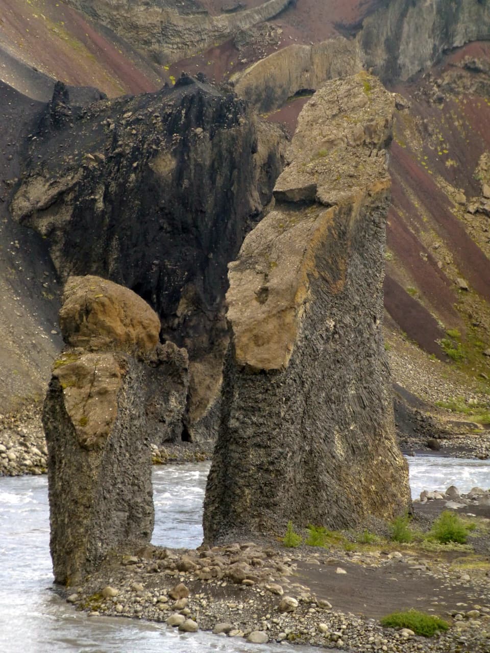 Sight · 14 km awayKarl and Kerling CliffsAn easy river walk to two named volcanic pillars.
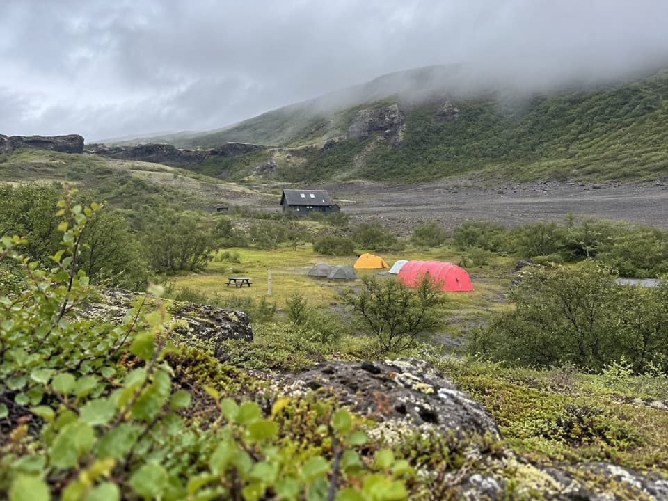 Campground · 15.3 km awayVesturdalur CampgroundA tent base for walking the volcanic Echo Rocks.
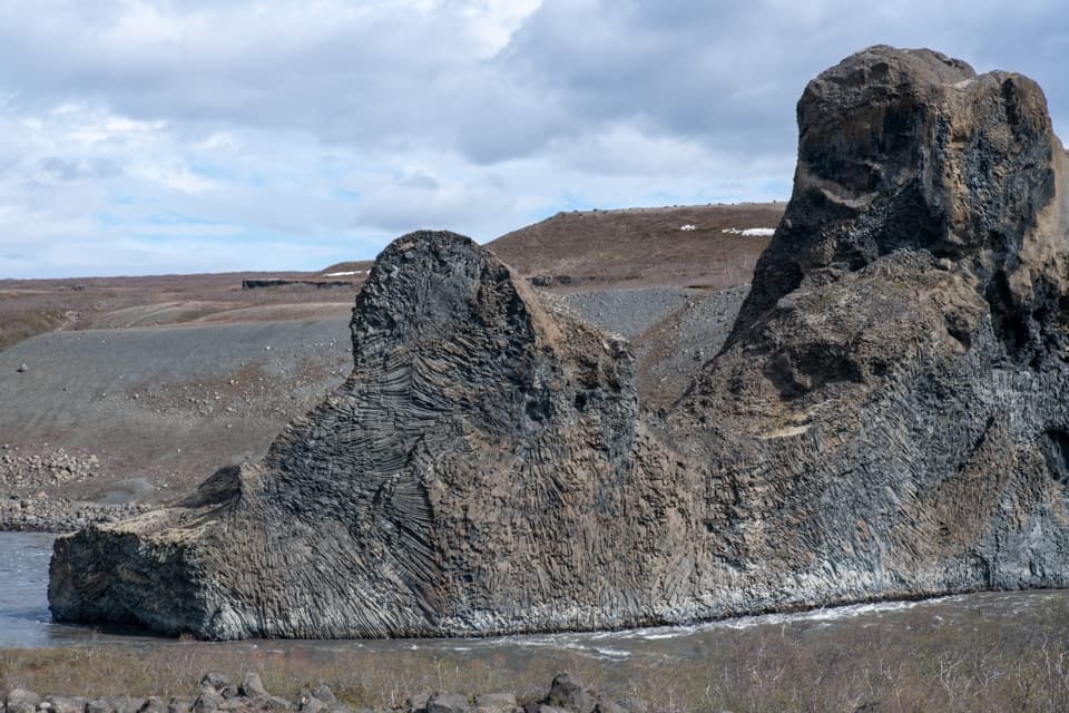 Sight · 16 km awayHljóðaklettar (Echo Rocks)A maze of basalt towers left behind by an ancient crater row.
Parkwolf’s Vatnajökull ranking

The audio tour guide for the drive, plus offline maps, trails, and wildlife heatmaps for when the signal drops.



